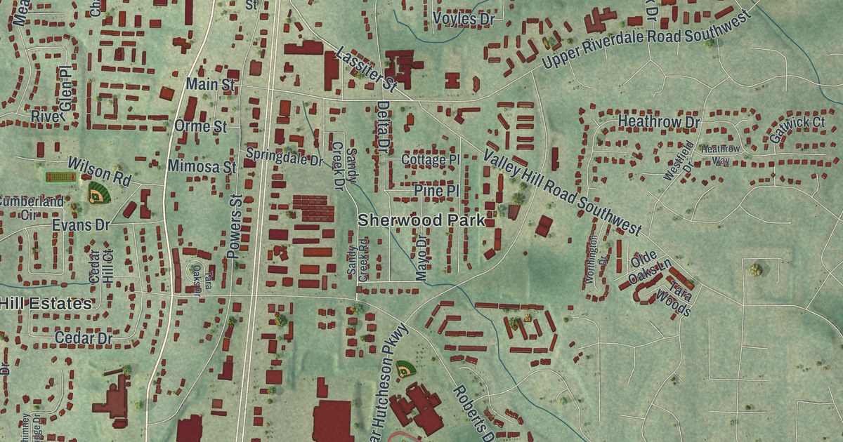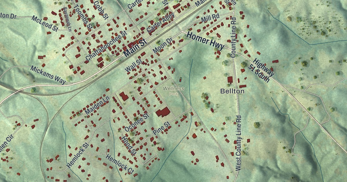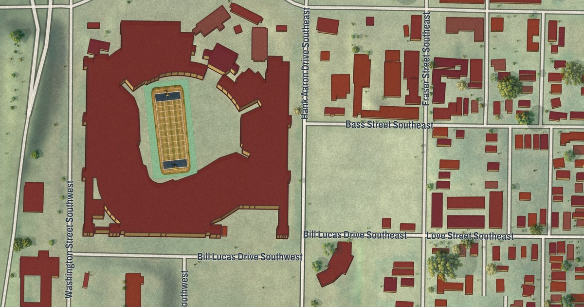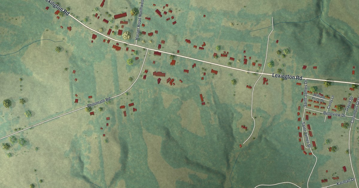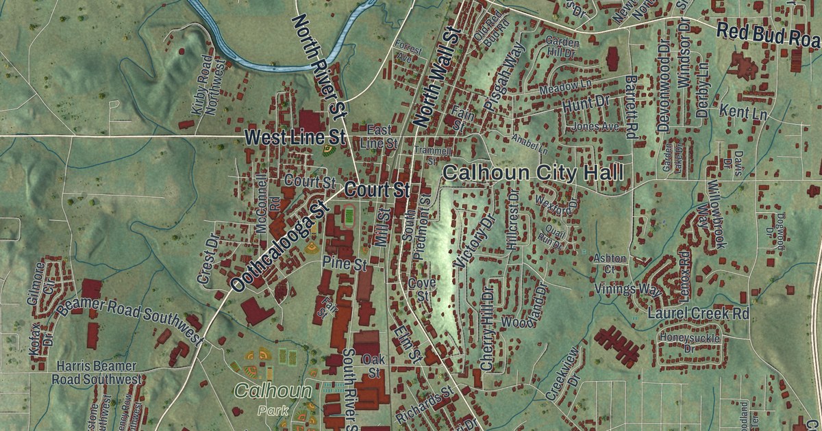
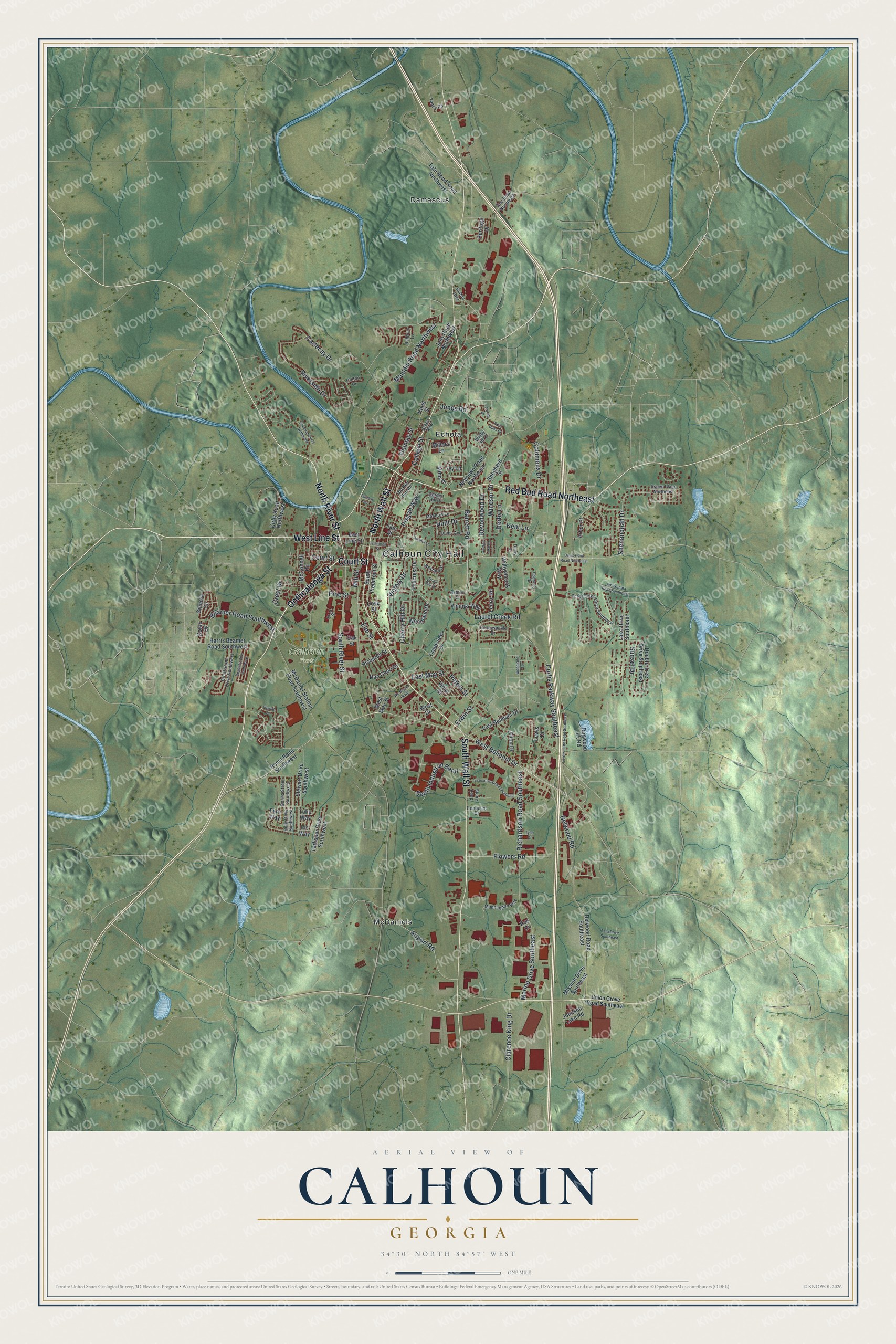
This beautifully detailed map of Calhoun, Georgia was created in 2026 using aerial imagery combined with modern topographical, census, street and landmark data. It’s a one-of-a-kind view of Calhoun that combines accurate data with a vintage aesthetic. The map shows every building in its true location, many of the roads carry their names, and the shaded topographic relief shows the shape of the land.
Explore an aerial view of Calhoun, Georgia
On the map you’ll find Calhoun City Hall, McDaniels, Damascus, and Echota, along with Court Street, Oothcalooga Street, Line Street, Wall Street, and more. If you look closely you can even find your house accurately drawn in its correct location. Zoom in on the preview to look for yours.
Take a closer look at the Calhoun map
Names on this map
These names are printed on this map.
Places: Calhoun City Hall, McDaniels, Calhoun Park, Damascus and Echota.
Streets and roads: Court Street, Oothcalooga Street, West Line Street, North Wall Street, Red Bud Road Northeast, South Wall Street, North River Street, West Belmont Drive, Curtis Parkway Southeast, Belwood Road, Pine Street, Elm Street.
More street names, A to Z
Airport Road, Alton Drive, Amakanata Road Southeast, Anabel Lane, Arbor Place, Ashbury Lane, Ashton Court, Aspen Place Northeast, Barrett Road, Beamer Road Southwest, Belwood Road Southeast, Brookstone Drive Southwest, Camelot Circle Northwest, Cartecay Drive, Cherry Hill Drive, Clarence King Drive, College Street, Colton Drive, Columbus Drive, Conquest Drive, Cove Street, Creekview Drive, Crest Drive, Dalton Highway, Dan Cheri Drive, Davis Drive, Derby Lane, Devonwood Drive, Dews Pond Road Northeast, Dogwood Drive, Dogwood Lk Road, Donna Street Southwest, Double Tree Drive Southeast, East Belmont Drive, East Line Street, East May Street, Erwin Street, Executive Drive Southeast, Fain Street, Fair Street, Fern Way, Flowers Road, Forrest Avenue, Foxhall Drive, Garden Hill Drive, Garden Lake Drive, Gee Road Northeast, Gilmore Circle, Green Row, Harris Beamer Road Southwest, Heritage Drive, Hillcrest Drive, Holly Drive Southwest, Honeysuckle Drive, Hood Street, Hunt Drive, Iris Way, Ivy Lane, Jarrett Drive, Johnson Lake Road, Jolly Road Northwest, Jones Avenue, Jones Road, Kent Lane, Kirby Road Northwest, Kofax Drive, Lake Drive Southeast, Larkspur Drive Southwest, Laurel Creek Road, Lenox Road, Lewis Drive, Lovers Lane Road Southeast, Mannington Way, Marine Drive Southeast, Mauldin Road Northwest, McConnell Road, McDaniel Station Road Southwest, Meadow Lane, Millers Lane, Mill Street, Mims Drive, Mission Drive Southeast, Newtown Road Northeast, Oak Street, Old Red Bud Road, Peters Street, Pisgah Way, Quail Run Drive, Regency Row Southwest, Richardson Road Southeast, Richards Street, Riverside Drive, Rome Road Southwest, Rus Drive, Shenandoah Drive, Shepherd Street, South Industrial Bend, South Piedmont Street, South River Street, Stewart Drive Southwest, Stone Loop, Sunset Drive, Tara Drive Southeast, Tate Bend Road Northwest, Thomas Street, Three Oaks Drive Southeast, Trammell Street, Tulip Way, Twin Oaks Drive, Tyler Drive, Union Grove Road Southeast, Victor Drive, Victory Drive, Vinings Way, Wc Bryant Parkway, West Drive, West May Street, Wexford Drive, Willowbrook Way, Windsor Drive, Windy Hill Drive, Woodland Drive, Woodland Terrace, Yancy Road.
See it on a wall
The Calhoun map as a framed print. Swipe for more.


This beautifully detailed map of Calhoun makes an attractive addition to your office, library, or den, and it can even be used to teach children the geography and history of the area. It also makes a great gift for anyone with Calhoun roots. When you’re done exploring, click here to get your copy of the Calhoun map.