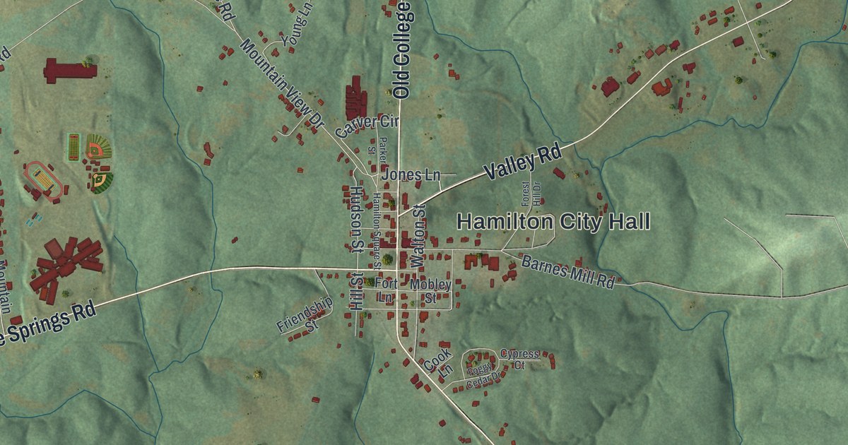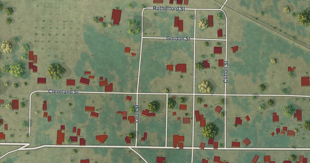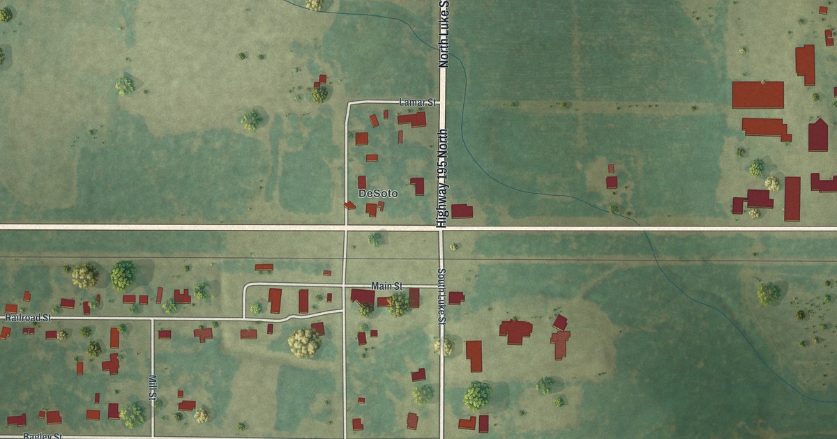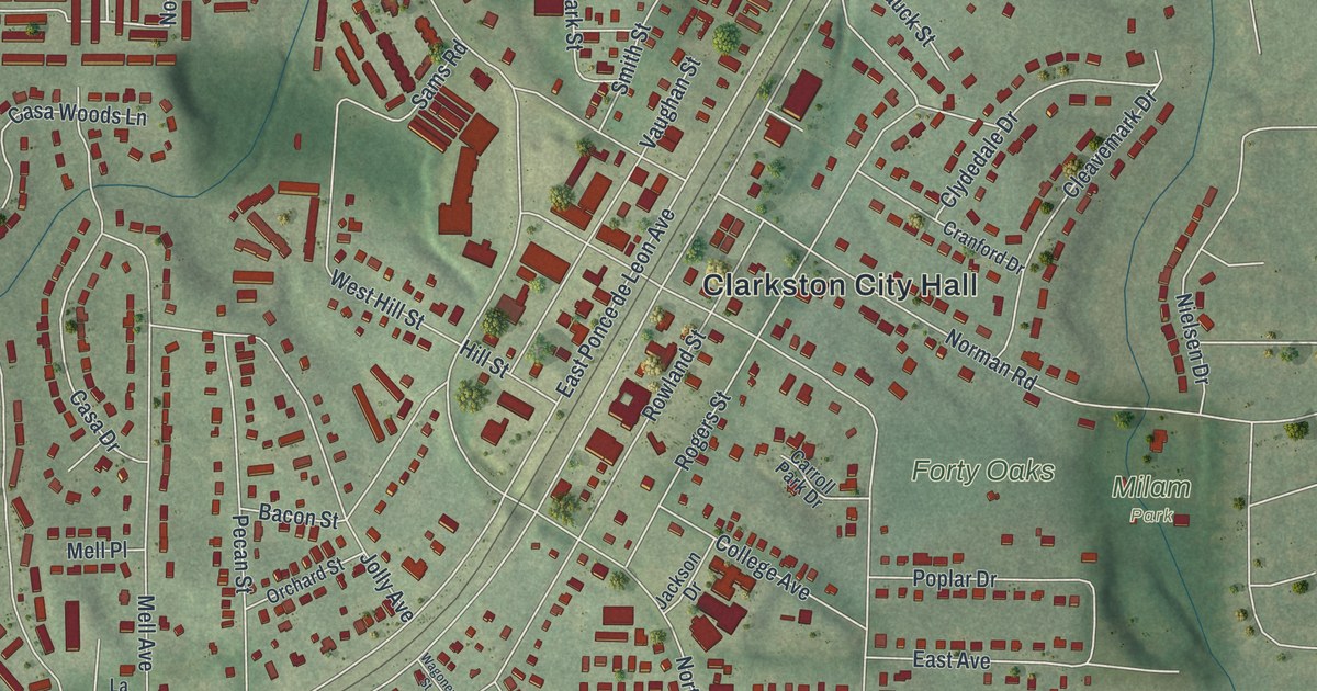
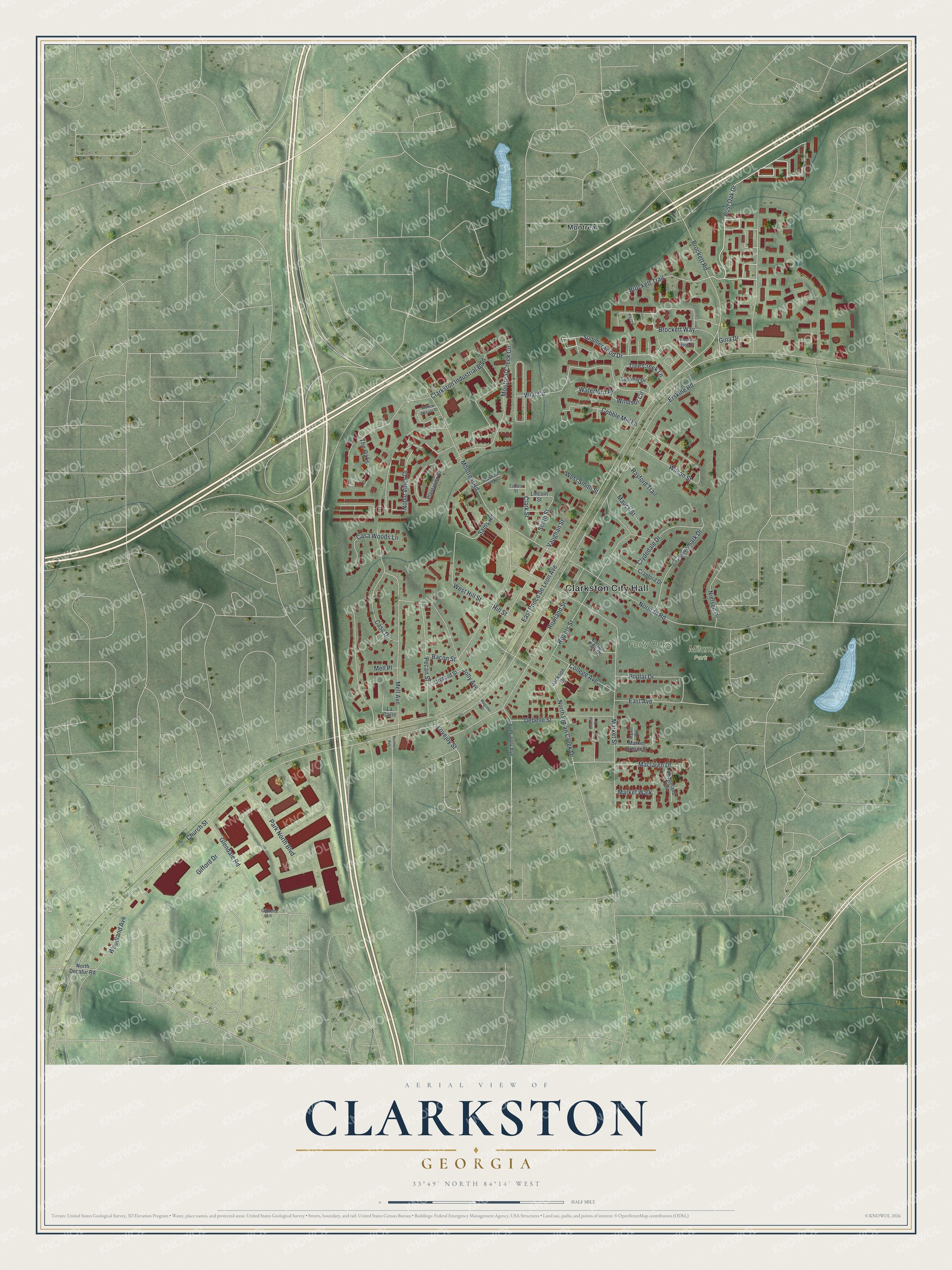
This beautifully detailed map of Clarkston, Georgia was created in 2026 using aerial imagery combined with modern topographical, census, street and landmark data. It’s a one-of-a-kind view of Clarkston that combines accurate data with a vintage aesthetic. The map shows every building in its true location, many of the roads carry their names, and the shaded topographic relief shows the shape of the land.
Explore an aerial view of Clarkston, Georgia
On the map you’ll find Clarkston City Hall, Montreal, and Milam Park, along with Post Oak Drive, Brockett Way, Summerwood Drive, Noble Vines Drive, and more. If you look closely you can even find your house accurately drawn in its correct location. Zoom in on the preview to look for yours.
Did You Know?
Clarkston is often called the Ellis Island of the South. During the 1990s, refugee programs chose it as a new home for displaced families from many lands. Apartments were easy to rent, and trains into Atlanta ended their line here. Today the high school draws students from more than 50 countries.
Take a closer look at the Clarkston map
Names on this map
These names are printed on this map.
Places: Clarkston City Hall, Milam Park, Forty Oaks and Montreal.
Streets and roads: Post Oak Drive, Brockett Way, Summerwood Drive, Noble Vines Drive, Waterford Place, Montreal Creek Circle, East Ponce de Leon Avenue, Church Street, Montreal Road, Brockett Road, Wild Circle, North Indian Creek Drive.
More street names, A to Z
Andrew Jackson Drive, Bacon Street, Brockett Trail, Carroll Park Drive, Casa Drive, Casa Woods Lane, Clarkston Industrial Boulevard, Clark Street, Cleavemark Drive, Clydedale Drive, Cobble Mill Lane, College Avenue, Cranford Drive, Debelle Court, Debelle Street, East Avenue, Erskine Road, Gibbons Lane, Gifford Drive, Gina Drive, Glendale Road, Hill Street, Jackson Drive, Jolly Avenue, La Carre, La Paz Court, Lincoln Street, Loblolly Drive, Lovejoy Street, Maclaren Drive, Market Crescent, Market Street, Market Walk, Market Way, Mauck Street, Mell Avenue, Mell Place, Montreal Creek Court, Nielsen Drive, Norman Road, North Decatur Road, Northern Avenue, Orchard Street, Park North Boulevard, Pecan Street, Plantation Circle, Poplar Drive, Prescott Ridge Circle, Rayford Trail, Ridgeland Trail, Rogers Street, Rowland Street, Sams Road, Smith Street, South Jolly Avenue, The Oaks, Tree Creek Lane, Tribble Street, Vaughan Street, Wagoner Street, West Hill Street, West Smith Street, Wilson Street, Windsor Circle, Woodland Avenue.
See it on a wall
The Clarkston map as a framed print. Swipe for more.


This beautifully detailed map of Clarkston makes an attractive addition to your office, library, or den, and it can even be used to teach children the geography and history of the area. It also makes a great gift for anyone with Clarkston roots. When you’re done exploring, click here to get your copy of the Clarkston map.