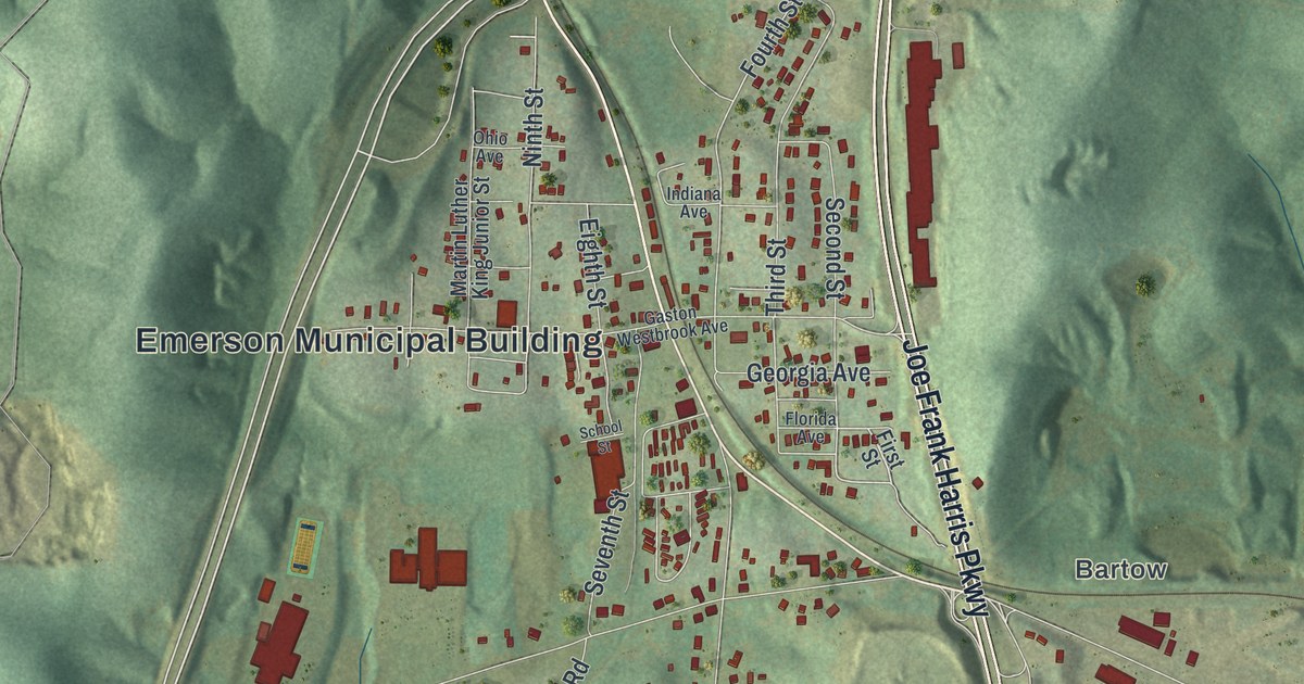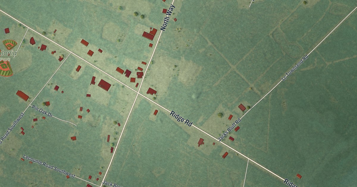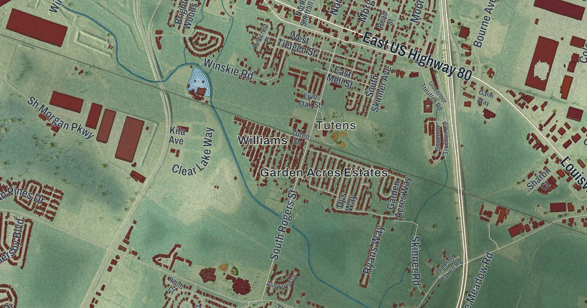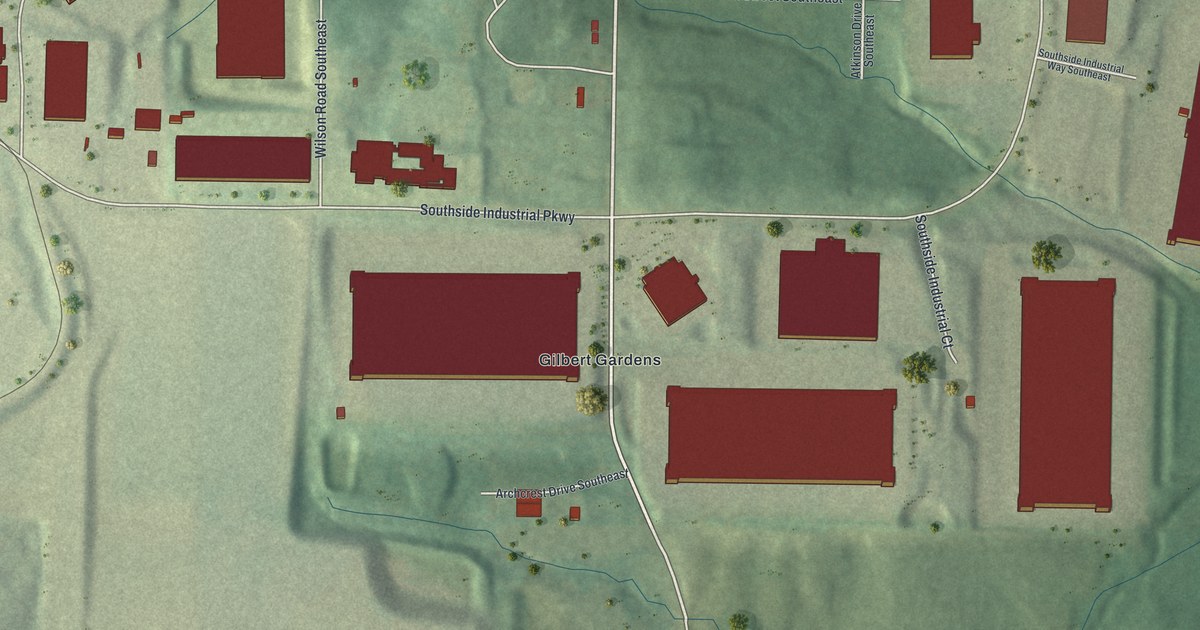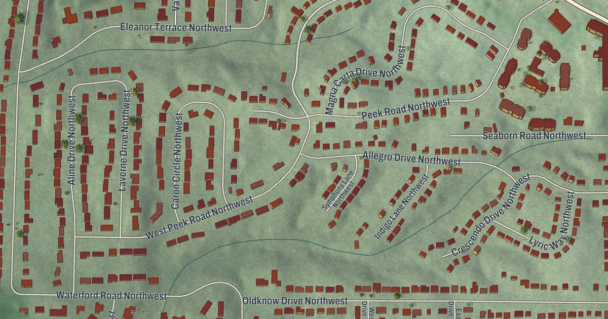
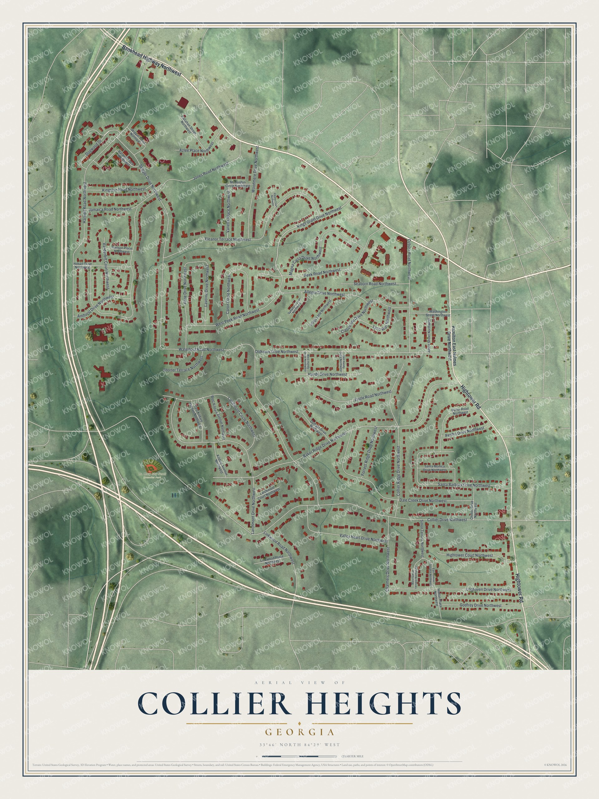
This beautifully detailed map of Collier Heights, Georgia was created in 2026 using aerial imagery combined with modern topographical, census, street and landmark data. It’s a one-of-a-kind view of Collier Heights that combines accurate data with a vintage aesthetic. The map shows every building in its true location, many of the roads carry their names, and the shaded topographic relief shows the shape of the land.
Explore an aerial view of Collier Heights, Georgia
On the map you’ll find Dr. Mary Shy Scott Memorial Park, along with Bankhead Highway, Hightower Road, Hamilton East Holmes Drive, Kings Grant Drive, Collier Drive, and more. If you look closely you can even find your house accurately drawn in its correct location. Zoom in on the preview to look for yours.
Did You Know?
Collier Heights was founded in 1948 and sold to Black buyers because the land was thought undesirable. It was among the first upscale neighborhoods in the country laid out entirely by African American planners. By the mid 1900s it was the largest and most sought-after Black neighborhood in Atlanta.
Take a closer look at the Collier Heights map
Names on this map
These names are printed on this map.
Places: Dr. Mary Shy Scott Memorial Park.
Streets and roads: Bankhead Highway Northwest, Hightower Road, Kings Grant Drive Northwest, Collier Drive Northwest, Harwell Road Northwest, Jones Road Northwest, Baker Ridge Drive Northwest, Waterford Road Northwest, Skipper Drive Northwest, Eleanor Terrace Northwest, Larchmont Drive Northwest, Oldknow Drive Northwest.
More street names, A to Z
Albert Street Northwest, Aline Drive Northwest, Allegro Drive Northwest, Amhurst Drive Northwest, Azlee Place Northwest, Baker Road Northwest, Callahan Street Northwest, Caron Circle Northwest, Chalmers Drive Northwest, Chilton Drive Northwest, Collier Ridge Drive Northwest, Crescendo Drive Northwest, Dale Creek Drive Northwest, Dogwood Drive, Duffield Drive Northwest, East Handy Drive Northwest, East Kildare Avenue Northwest, East Simon Terrace Northwest, Eleanor Court Northwest, Engle Road Northwest, Forrest Ridge Drive Northwest, Godfrey Drive Northwest, Hamilton East Holmes Drive Northwest, Handy Drive Northwest, Harwell Place Northwest, Hightower Court Northwest, Hobart Drive Northwest, Hutton Place Northwest, Indigo Lane Northwest, Jamaica Road Northwest, Kildare Avenue Northwest, Kingston Road Northwest, Larchmont Circle Northwest, Larchmont Court Northwest, Laverne Drive Northwest, Linkwood Place Northwest, Linkwood Road Northwest, Loghaven Drive Northwest, Lyric Way Northwest, Magna Carta Drive Northwest, McLendon Circle Northwest, Ozburn Road Northwest, Peek Road Northwest, Renfro Drive Northwest, Santa Barbara Drive Northwest, Santa Monica Drive Northwest, Seaborn Road Northwest, Shorter Terrace Northwest, Simon Terrace Northwest, Skipper Place Northwest, Stetson Place Northwest, Symphony Lane Northwest, Valley Heart Drive Northwest, Vanderbilt Court Northwest, Vanetta Place Northwest, Washington Street Northwest, West Handy Drive Northwest, West Kildare Avenue Northwest, West Peek Road Northwest, West Simon Terrace Northwest, Woodmere Drive Northwest.
See it on a wall
The Collier Heights map as a framed print. Swipe for more.


This beautifully detailed map of Collier Heights makes an attractive addition to your office, library, or den, and it can even be used to teach children the geography and history of the area. It also makes a great gift for someone who left Collier Heights and still calls it home. When you’re done exploring, click here to get your copy of the Collier Heights map.