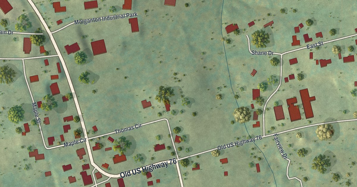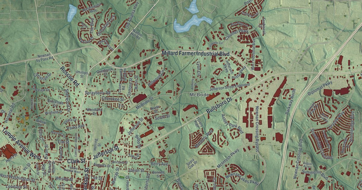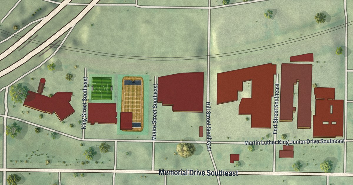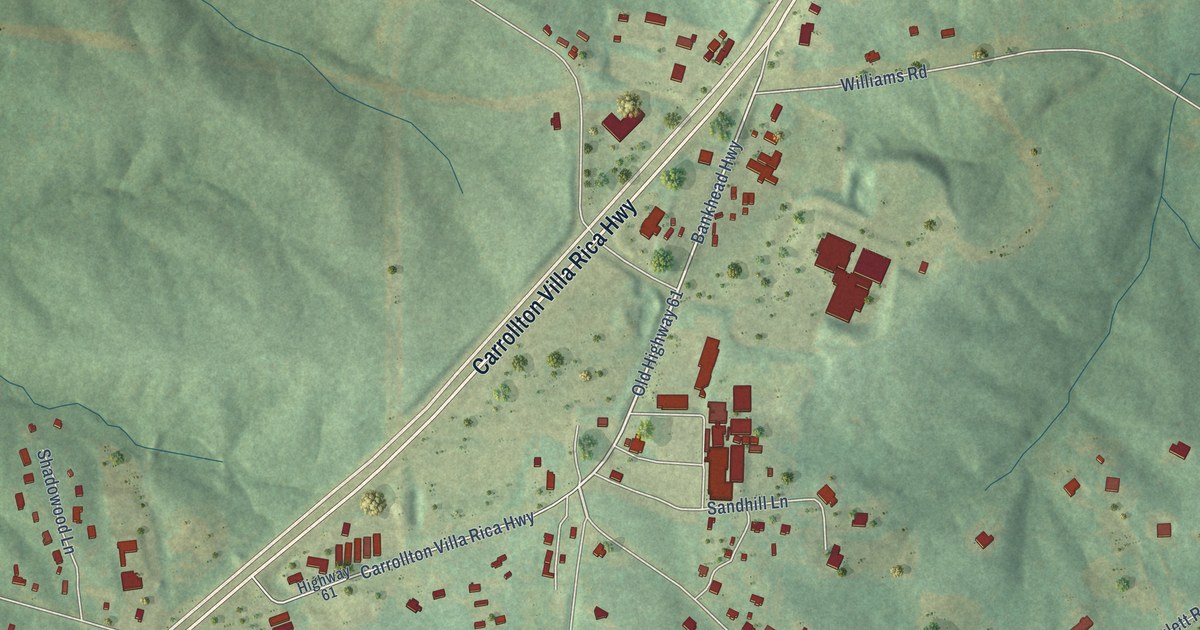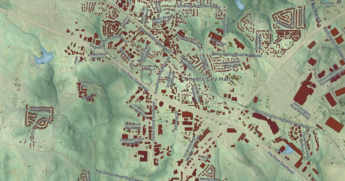
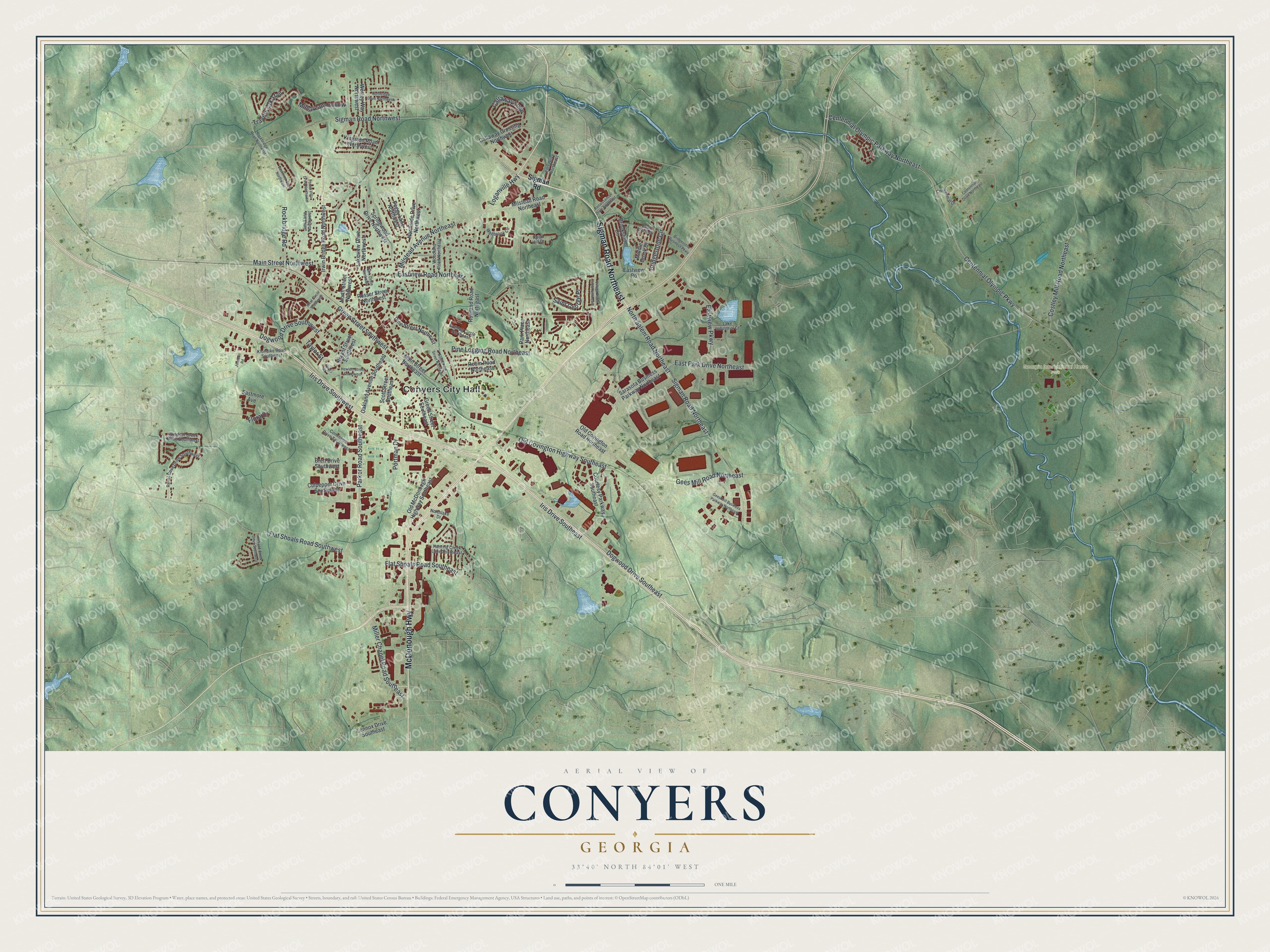
This beautifully detailed map of Conyers, Georgia was created in 2026 using aerial imagery combined with modern topographical, census, street and landmark data. It’s a one-of-a-kind view of Conyers that combines accurate data with a vintage aesthetic. The map shows every building in its true location, many of the roads carry their names, and the shaded topographic relief shows the shape of the land.
Explore an aerial view of Conyers, Georgia
On the map you’ll find Conyers City Hall and Georgia International Horse Park, along with McDonough Highway, Sigman Road, Loganville Highway, Parker Road, and more. If you look closely you can even find your house accurately drawn in its correct location. Zoom in on the preview to look for yours.
Did You Know?
Conyers, the seat of Rockdale County, was incorporated in 1854. It was the first town in Georgia to test and win a case for prohibition. It was also the first to pass a law making people keep their livestock penned. Conyers also had the state’s first Presbyterian campground. That’s from the 1940 WPA guide to Georgia.
Take a closer look at the Conyers map
Names on this map
These names are printed on this map.
Places: Conyers City Hall and Georgia International Horse Park.
Streets and roads: McDonough Highway, Sigman Road Northeast, Loganville Highway, Parker Road Southeast, Main Street Northwest, Green Street Southwest, Iris Drive Southeast, Dogwood Drive Southeast, Dogwood Drive Southwest, Flat Shoals Road Southeast, Callaway Loop, Centennial Olympic Parkway Northeast.
More street names, A to Z
Almand Creek Drive Southwest, Brett Drive Southwest, Bridgestone Business Parkway, Bridgestone Circle, Brookstone Circle, Bryant Street Southwest, Bulldog Circle Northeast, Callaway Crossing Northwest, Centennial Drive, Centennial Drive Northeast, Centennial Olympic Parkway, Commerce Drive Southwest, Costley Mill Road Northeast, Courtesy Parkway Southeast, Culpepper Drive Southwest, East Brook Drive, Eastmont Drive Northwest, Eastmore Avenue, East Park Drive Northeast, Eastview Parkway, Eastview Road, Eastview Road Northeast, Ellis Drive Northeast, Flat Shoals Road Southwest, Flora Drive, Forest Villa Drive Northwest, Gees Mill Business Parkway Northeast, Gees Mill Road Northeast, Green Street Southeast, Hewlett Street Southwest, Hunting Creek Lane Southeast, Iris Drive Southwest, Irwin Bridge Road Northwest, Jimi Lane Northwest, Johnson Road, Kingston Road Northwest, Klondike Road Southwest, Lake Industrial Court, Lakeview Drive Northwest, Lennox Drive Southeast, Main Street Northeast, Middle Brook Drive, Miller Chapel Road Southeast, Millstream Hollow, Milstead Avenue Northeast, Milstead Road Northeast, Northlake Drive, Northridge Drive Northwest, North Salem Road Northeast, Northside Drive Northwest, North Street Northwest, Oakland Avenue Southeast, Old Covington Highway Southeast, Old Covington Road Northeast, Old McDonough Highway Southeast, Park Circle Northwest, Park Place Northeast, Peggy Lane Northwest, Pine Logging Road Northeast, Pine Street Northeast, Portman Drive, Renaissance Drive Northeast, Revel Cove Drive Southwest, Robin Road Northeast, Rockbridge Road, Rockbridge Road Northwest, Rock Hill Drive, Rosser Street Northwest, Rowland Road Northeast, Saint George Place, Sarasota Business Parkway Northeast, Scott Street Southeast, Sigman Road, Sigman Road Northwest, South Pine Street Northeast, Springwood Drive Northwest, Taylor Street, Travers Crk Trail, Veal Street, Village Place Circle Northeast, Wellbrook Circle, Wesley Way Northwest, West Circle Southwest, Windsor Creek Drive Southwest, Woodland Road Northeast.
See it on a wall
The Conyers map as a framed print. Swipe for more.


This beautifully detailed map of Conyers makes an attractive addition to your office, library, or den, and it can even be used to teach children the geography and history of the area. It also makes a great gift for anyone who grew up in Conyers or moved away. When you’re done exploring, click here to get your copy of the Conyers map.