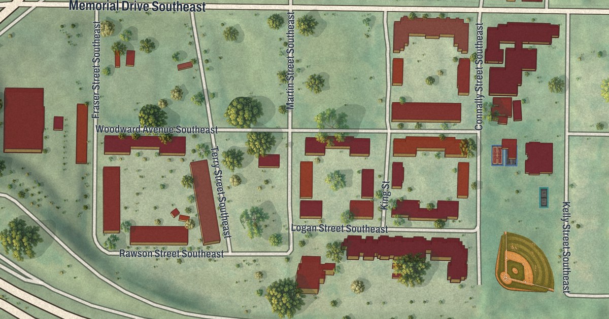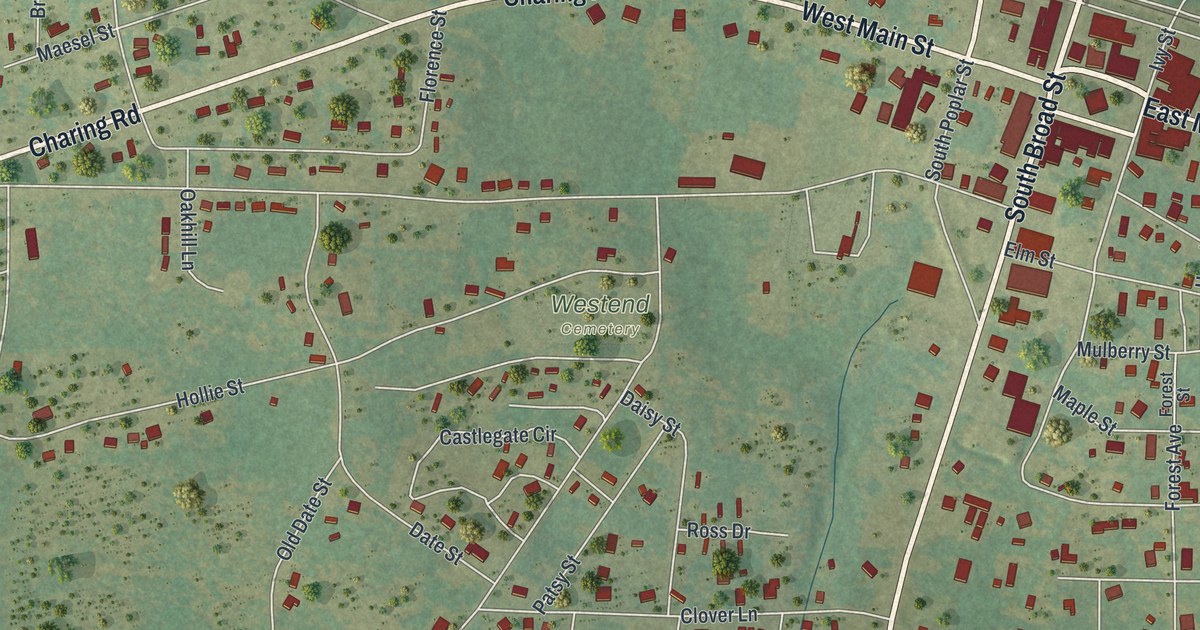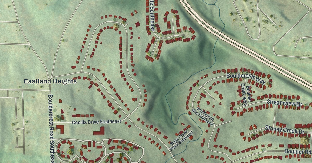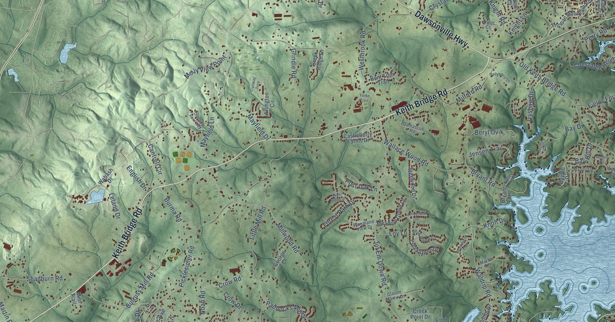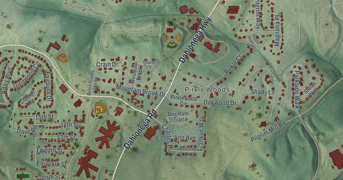
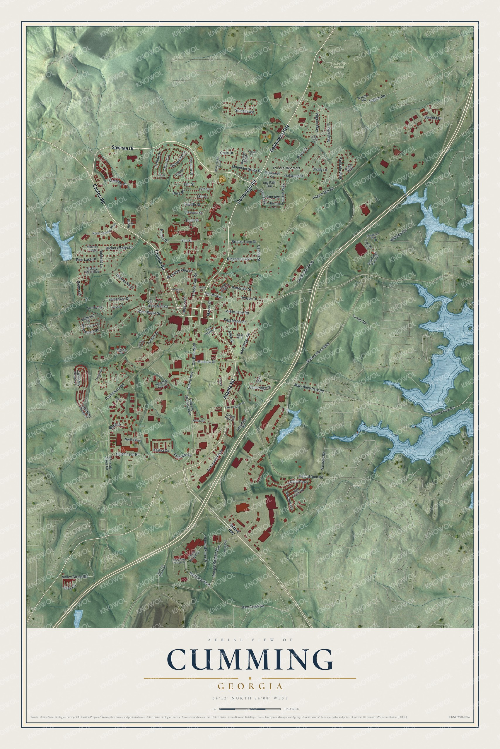
This beautifully detailed map of Cumming, Georgia was created in 2026 using aerial imagery combined with modern topographical, census, street and landmark data. It’s a one-of-a-kind view of Cumming that combines accurate data with a vintage aesthetic. The map shows every building in its true location, many of the roads carry their names, and the shaded topographic relief shows the shape of the land.
Explore an aerial view of Cumming, Georgia
On the map you’ll find Pirkle Woods and Sawnee View Gardens, along with Canton Road, Sawnee Drive, Dahlonega Road, Atlanta Road, Dahlonega Highway, and more. If you look closely you can even find your house accurately drawn in its correct location. Zoom in on the preview to look for yours.
Did You Know?
Cumming was formed in 1833 from two 40-acre lots given out in the 1832 Georgia land lottery. County court justices bought the lots to create a seat of government. They split the land into smaller lots and sold them, keeping one lot for the courthouse.
Take a closer look at the Cumming map
Names on this map
These names are printed on this map.
Places: Pirkle Woods and Sawnee View Gardens.
Streets and roads: Canton Road, Sawnee Drive, Dahlonega Road, Atlanta Road, Dahlonega Highway, East Maple Street, Bald Ridge Road, Buford Highway, Old Buford Road, Charles Place, Lanier 400 Parkway, Tribble Gap Road.
More street names, A to Z
13th Street, 14th Street, 15th Street, Adair Boulevard, Advantage Road, Allen Street, Amos Drive, Ann Avenue, Azalea Circle, Bald Ridge Acres Drive, Bell Creek Road, Bettis Tribble Gap Road, Blalie Drive, Bonnie Lane, Brooks Farm Drive, Buford Dam Road, Cambridge Drive, Camilla Street, Carlton Drive, Castleberry Road, Castleberry Village Circle, Castleberry Village Drive, Church Street, Clayton Circle, Colony Park Drive, County Park Road, Crain Drive, Dave Road, Denson Drive, Dobbs Creek Court, Dog Path Trail, Elderwood Way, Eleventh Street, Elley Circle, Elm Street, Fairburn Drive, Fischer Trce, Franklin Way, Glenwood Circle, Haw Creek Road, Health Drive, Hickory Knoll, Hickory Oak Hollow, Hickory Ridge, Hickory Ridge Drive, Horseshoe Court, Howard Farm Drive, Hudson Street, Hutchinson Road, Industrial Park Drive, Industrial Way, Ingram Avenue, Jackson Place, Juliette Lane, Kelly Mill Road, Lake Center Parkway, Laurel Lane, Leland Parkway, Lyndon Potter Place, Magnolia Place, Market Place Boulevard, Mary Alice Park Road, Mason Street, Meadow Drive, Mountain Brook, Mountain Brook Drive, Mountain View Drive, Nancy Lane, North Corners Parkway, North Forsyth Drive, North Old Atanta Road, North Old Atlanta Road, North Parkway, Northside Boulevard, Northside Forsyth Drive, Oakfield Lane, Oakwood Drive, Orchard Circle, Oxford Road, Parkside Walk, Patterson Street, Pilgrim Mill Road, Pilgrim Road, Pilgrim Village Drive, Pilgrim Way, Pine Drive, Pine Forest Street, Pine Lake Drive, Pirkle Court, Pirkle Ferry Road, Pirklewood Circle, Primrose Drive, Ramey Drive, Rest Haven Street, Ridgecrest Avenue, Ronald Reagan Boulevard, Samaritan Drive, Sanders Road, Shady Lane, Sienna Drive, Somerton Place, South Hill Street, Spruce Street, Stefan Walk, Stonehaven, Summer Lane, Tenth Street, Tolbert Street, Tri County Plaza, Trowbridge Drive, Turner Road, Twelfth Street, Valley Circle Road, Ventura Drive, Veterans Memorial Boulevard, Wander Mill, Weatherby Lane, West Maple Street, Wildwood Drive, Williams Circle, Woodland Drive.
See it on a wall
The Cumming map as a framed print. Swipe for more.


This beautifully detailed map of Cumming makes an attractive addition to your office, library, or den, and it can even be used to teach children the geography and history of the area. It also makes a great gift for anyone with Cumming roots. When you’re done exploring, click here to get your copy of the Cumming map.