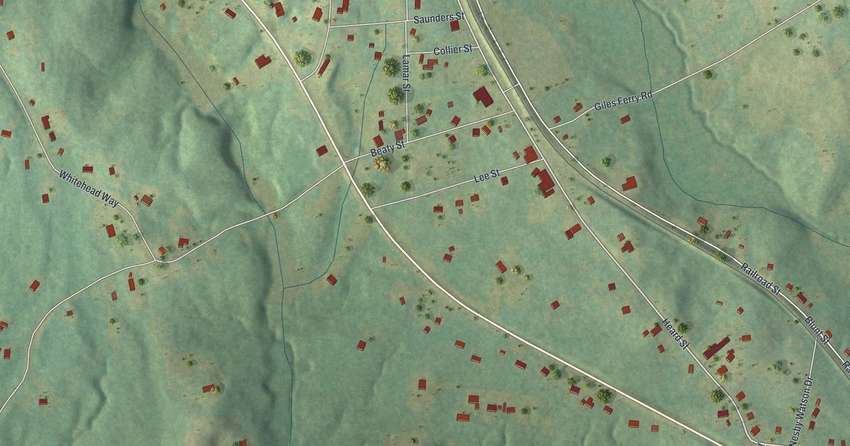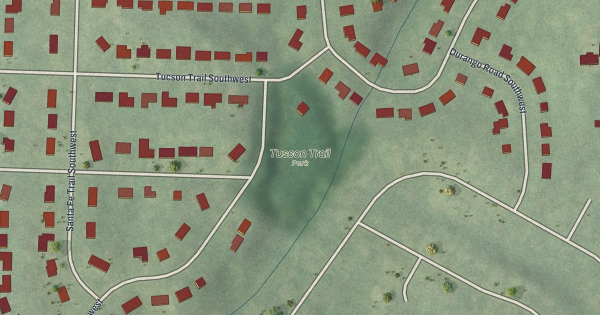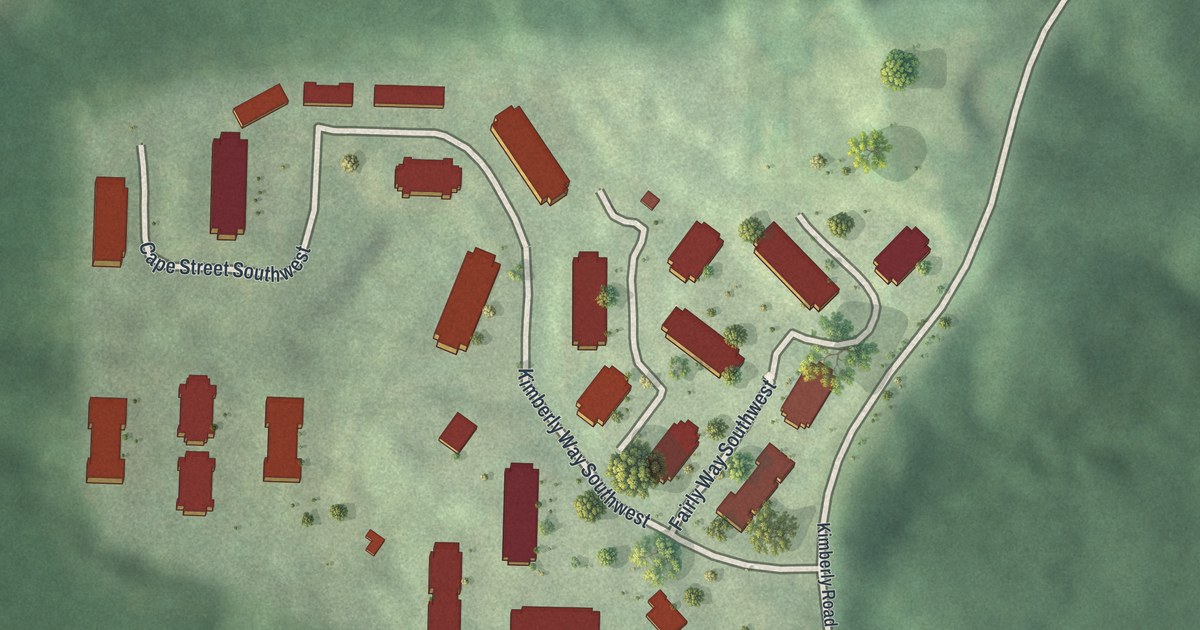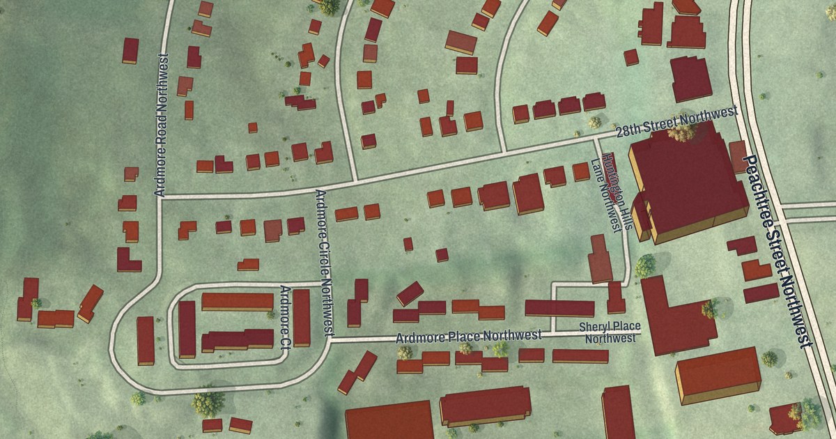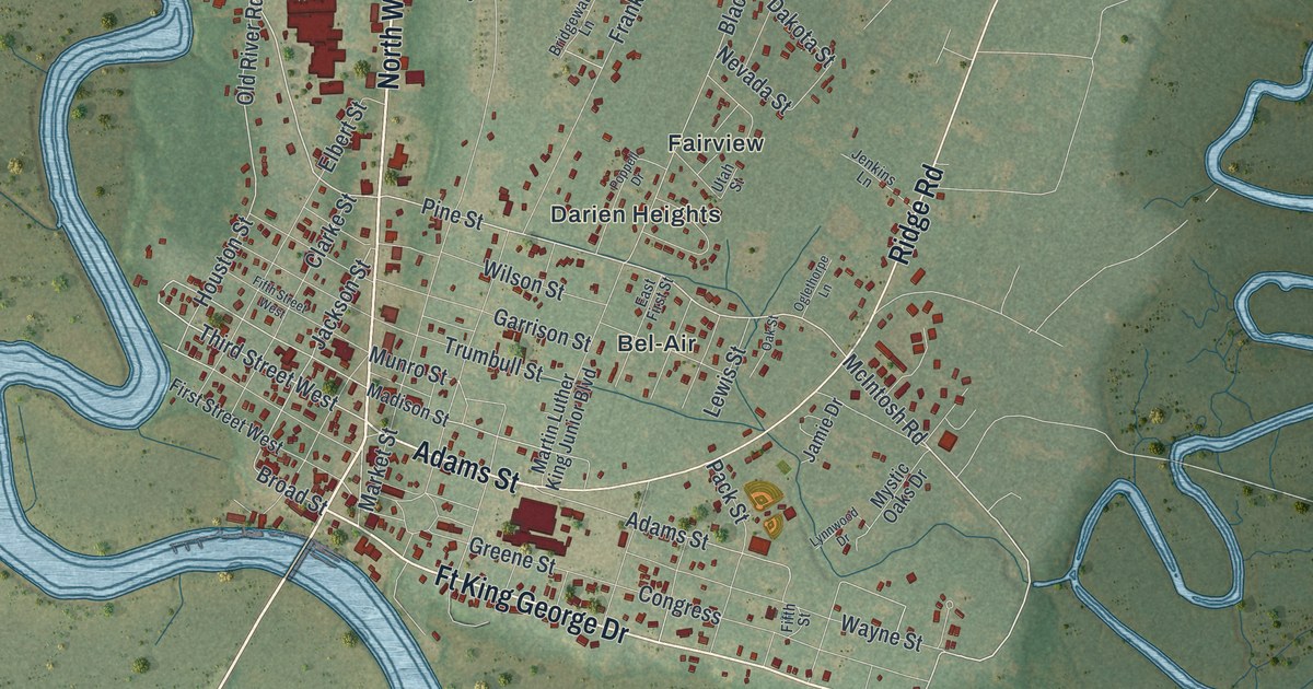
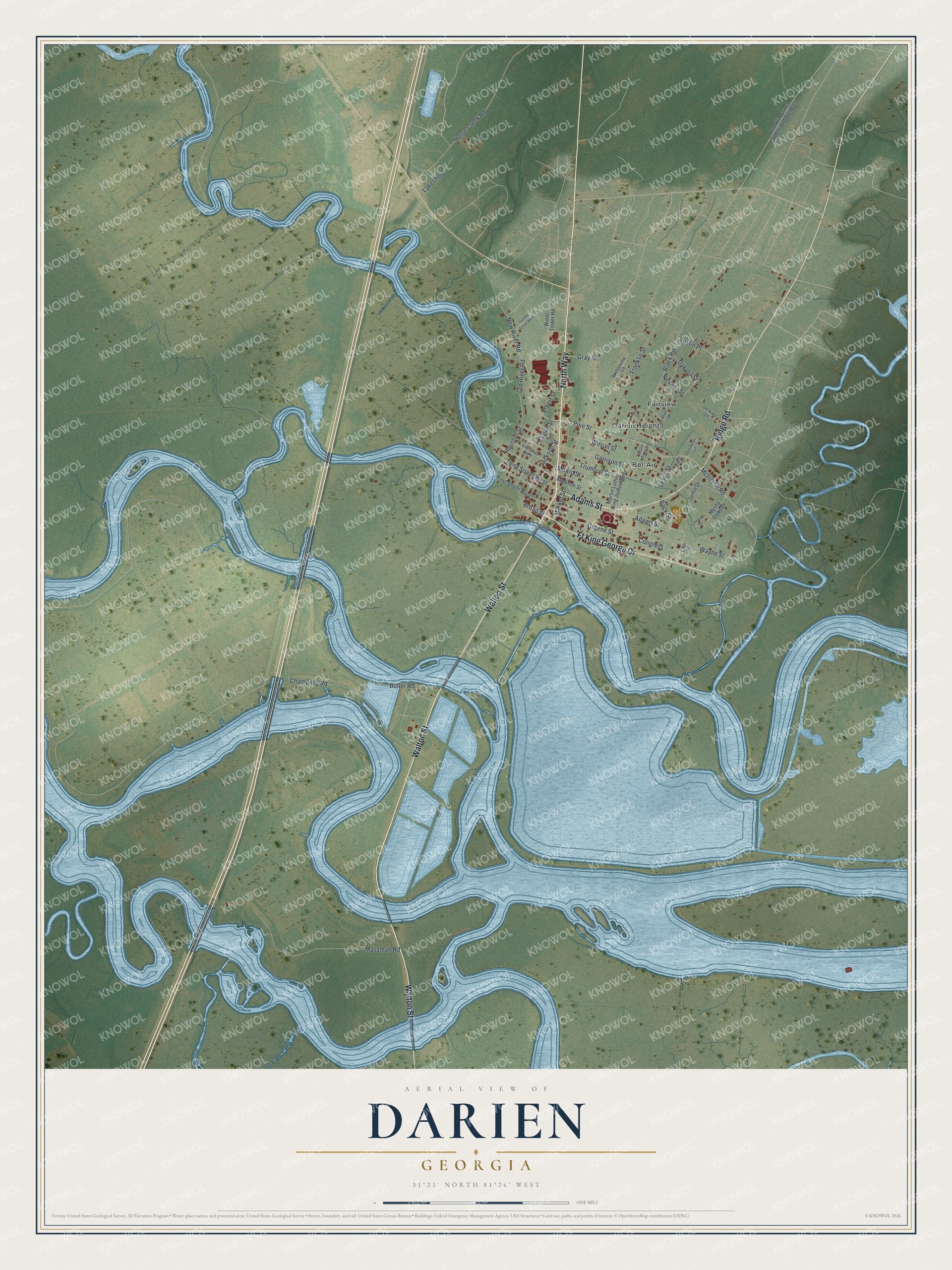
This beautifully detailed map of Darien, Georgia was created in 2026 using aerial imagery combined with modern topographical, census, street and landmark data. It’s a one-of-a-kind view of Darien that combines accurate data with a vintage aesthetic. The map shows every building in its true location, many of the roads carry their names, and the shaded topographic relief shows the shape of the land.
Explore an aerial view of Darien, Georgia
On the map you’ll find Bel-Air, Darien Heights, and Fairview, along with Walton Street, North Way, Adams Street, Ridge Road, and more. If you look closely you can even find your house accurately drawn in its correct location. Zoom in on the preview to look for yours.
Did You Know?
James Oglethorpe recruited Scottish Highlanders as settler-soldiers, and they founded Darien in January 1736. That month 177 people, women and children among them, arrived aboard the Prince of Wales. They first called it New Inverness. The town’s name came from the Darien scheme, an earlier Scottish colony in Panama.
Take a closer look at the Darien map
Names on this map
These names are printed on this map.
Places: Bel-Air, Darien Heights and Fairview.
Streets and roads: Walton Street, North Way, Adams Street, Ft King George Drive, Ridge Road, Third Street West, McIntosh Road, Pine Street, Broad Street, Jackson Street, Old River Road, Houston Street.
More street names, A to Z
Austin Place, Black Road, Bridgewater Lane, Butler Road, Champney Road, Clarke Street, Congress, Dakota Street, East First Street, Elbert Street, Fifth Street, Fifth Street West, First Street West, Franklin Street, Franklin Street Extension Southeast, Garrison Street, Gray Street, Greene Street, Horse Creek Road, Jamie Drive, Jenkins Lane, Lakeshore, Lewis Street, Lynnwood Drive, Madison Street, Market Street, Martin Luther King Junior Boulevard, Massman Road, Munro Street, Mystic Oaks Drive, Nevada Street, New River Road, Oak Street, Oglethorpe Lane, Pack Street, Poppell Drive, Trumbull Street, Twelfth Street West, Utah Street, Water Tower Road, Wayne Street, Wilson Street.
See it on a wall
The Darien map as a framed print. Swipe for more.


This beautifully detailed map of Darien makes an attractive addition to your office, library, or den, and it can even be used to teach children the geography and history of the area. It also makes a great gift for anyone with Darien roots. When you’re done exploring, click here to get your copy of the Darien map.