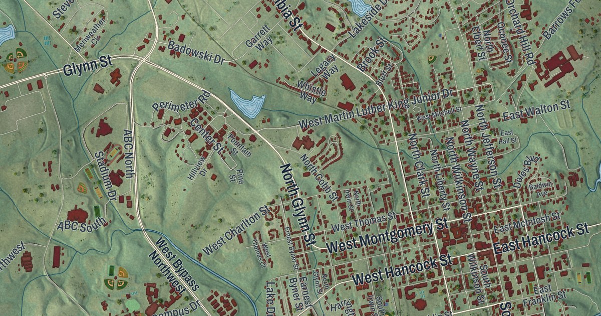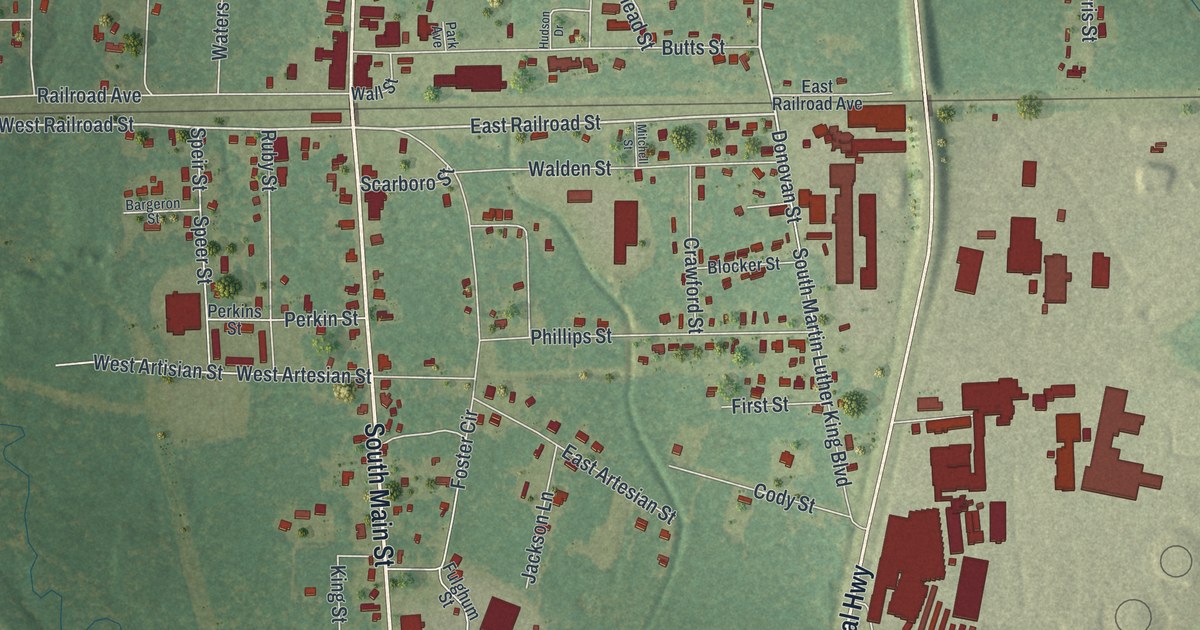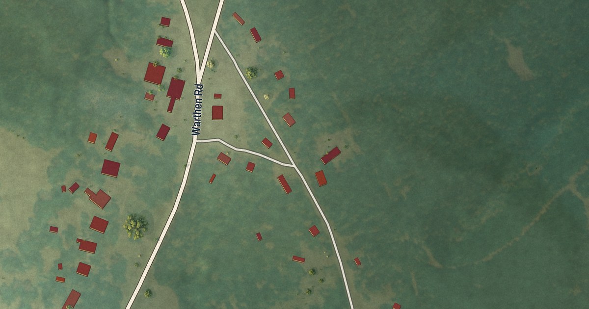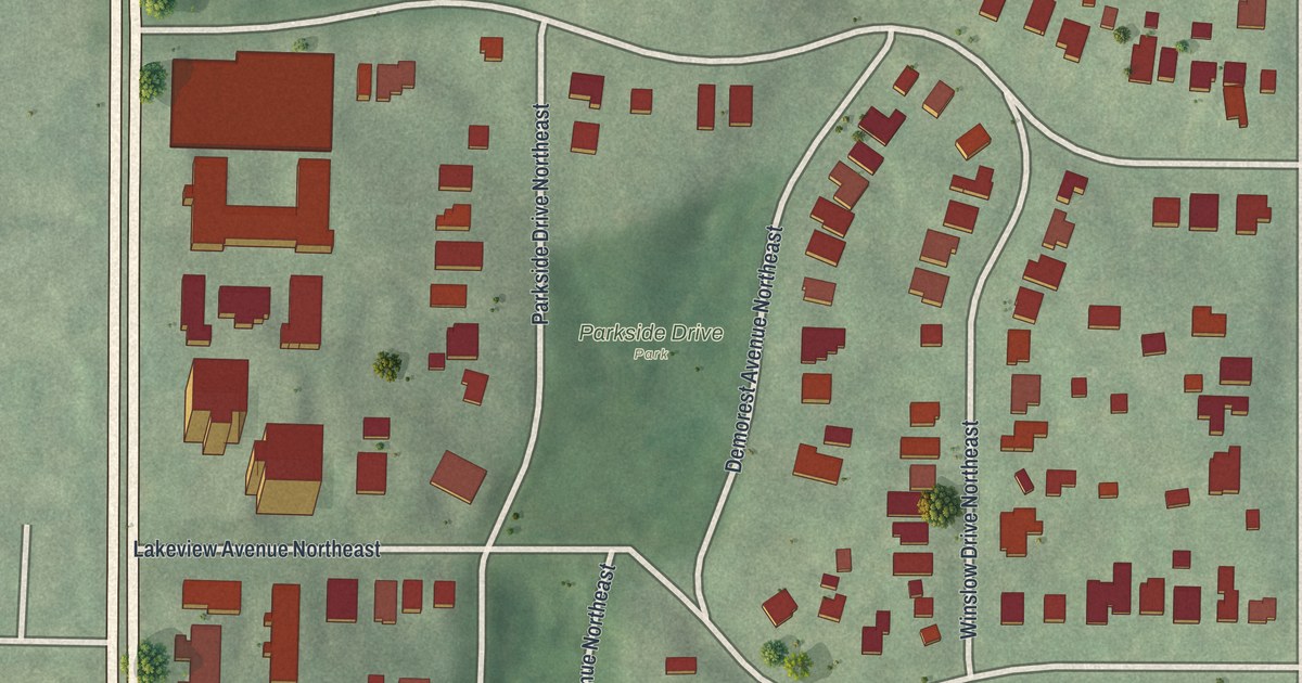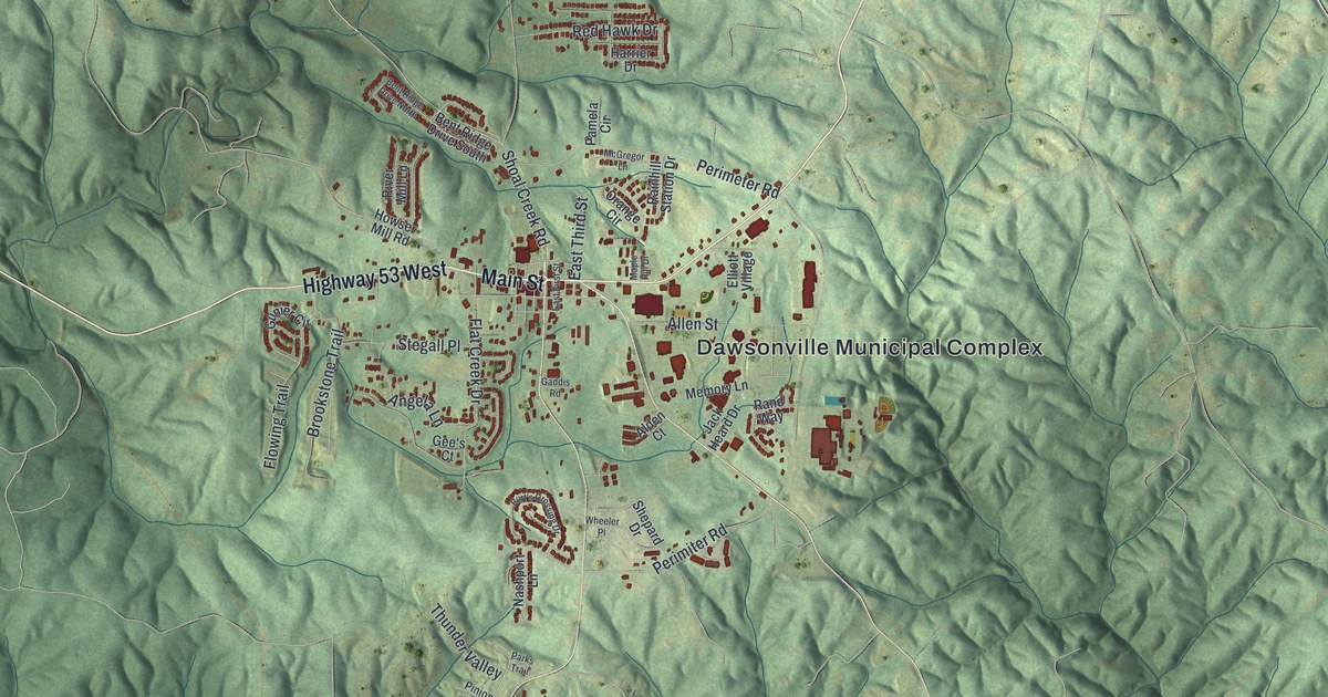
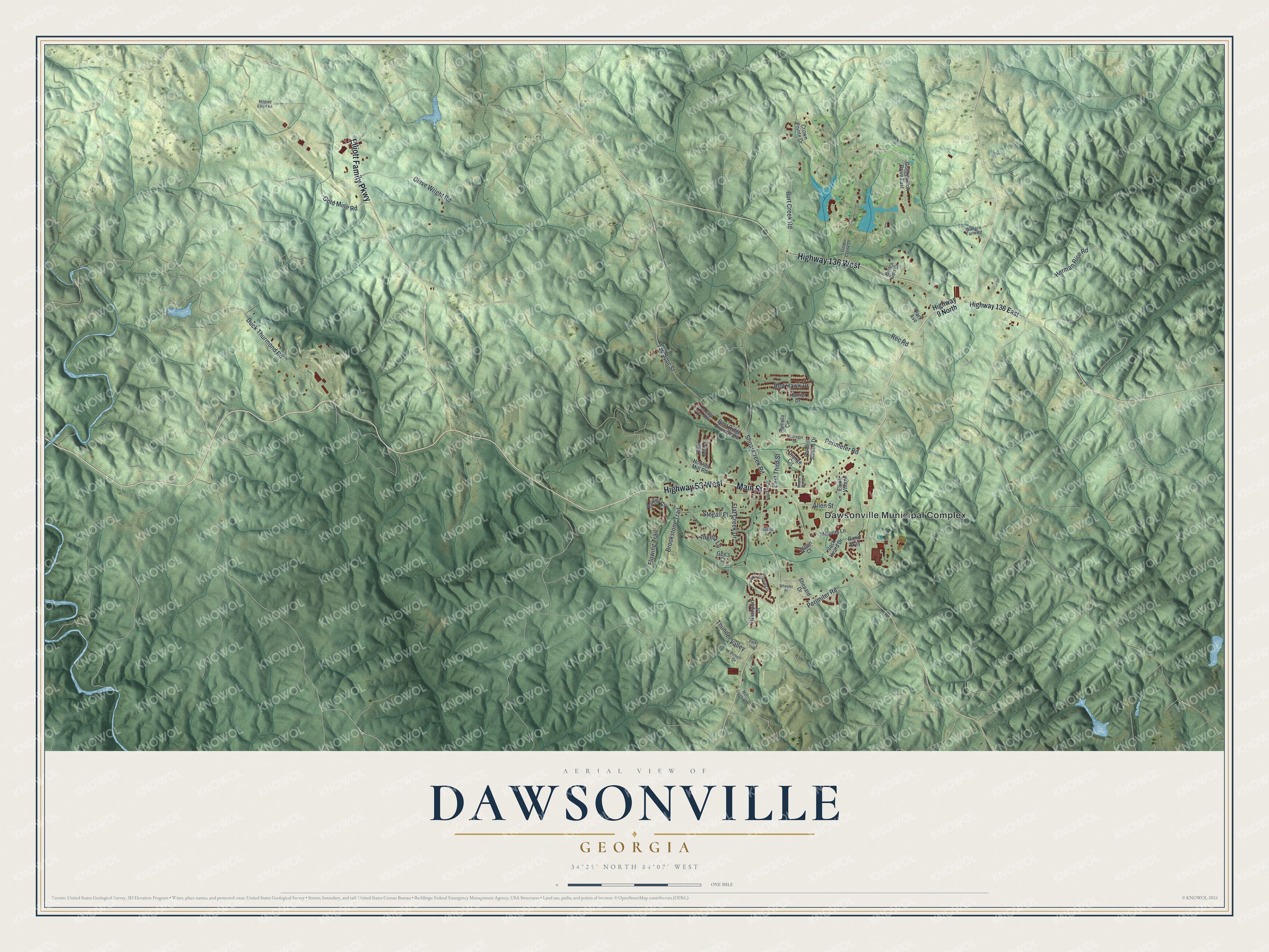
This beautifully detailed map of Dawsonville, Georgia was created in 2026 using aerial imagery combined with modern topographical, census, street and landmark data. It’s a one-of-a-kind view of Dawsonville that combines accurate data with a vintage aesthetic. The map shows every building in its true location, many of the roads carry their names, and the shaded topographic relief shows the shape of the land.
Explore an aerial view of Dawsonville, Georgia
On the map you’ll find Dawsonville Municipal Complex and Atlanta Motorsports Park, along with Elliott Family Parkway, Main Street, Duck Thurmond Road, Shoal Creek Road, and more. If you look closely you can even find your house accurately drawn in its correct location. Zoom in on the preview to look for yours.
Did You Know?
Dawsonville was founded in 1857 to serve as the seat of the new Dawson County. Both the town and the county carry the name of William Crosby Dawson, a United States senator. It became a town in 1859 and a city in 1952.
Take a closer look at the Dawsonville map
Names on this map
These names are printed on this map.
Places: Dawsonville Municipal Complex and Atlanta Motorsports Park.
Streets and roads: Highway 53 West, Highway 136 West, Elliott Family Parkway, Main Street, Duck Thurmond Road, Shoal Creek Road, Perimeter Road, Burt Creek Road, Flat Creek Drive, Cleve Wright Road, Gold Mine Road, Allen Street.
More street names, A to Z
136 Spur Street, Alden Court, Angela Lane, Bears Den Drive, Bent Ridge Drive North, Bent Ridge Drive South, Brookstone Trail, Burt's Crossing Drive, Crown Pointe Drive, East First Street, East Third Street, Elliott Village, Flowing Trail, Gaddis Road, Gee's Court, Gold Bullion Drive East, Gold Creek Drive, Gunier Circle, Harrier Drive, Herman Rice Road, Highway 9 North, Highway 136 East, Howser Mill Road, Jack Heard Drive, Maple Hill Drive, McGregor Lane, Memory Lane, Mildred Elliott Road, Mill Creek Drive, Nashport Lane, Orange Circle, Pamela Circle, Park Avenue, Parks Trail, Perimiter Road, Pinion Drive, Rainhill Station Drive, Rand Way, Rec Road, Red Hawk Drive, River Mill Lane, Shepard Drive, Stegall Place, Thunder Valley, Wallace Farm Road, Wheeler Place.
See it on a wall
The Dawsonville map as a framed print. Swipe for more.


This beautifully detailed map of Dawsonville makes an attractive addition to your office, library, or den, and it can even be used to teach children the geography and history of the area. It also makes a great gift for anyone with Dawsonville roots. When you’re done exploring, click here to get your copy of the Dawsonville map.