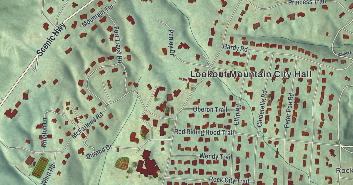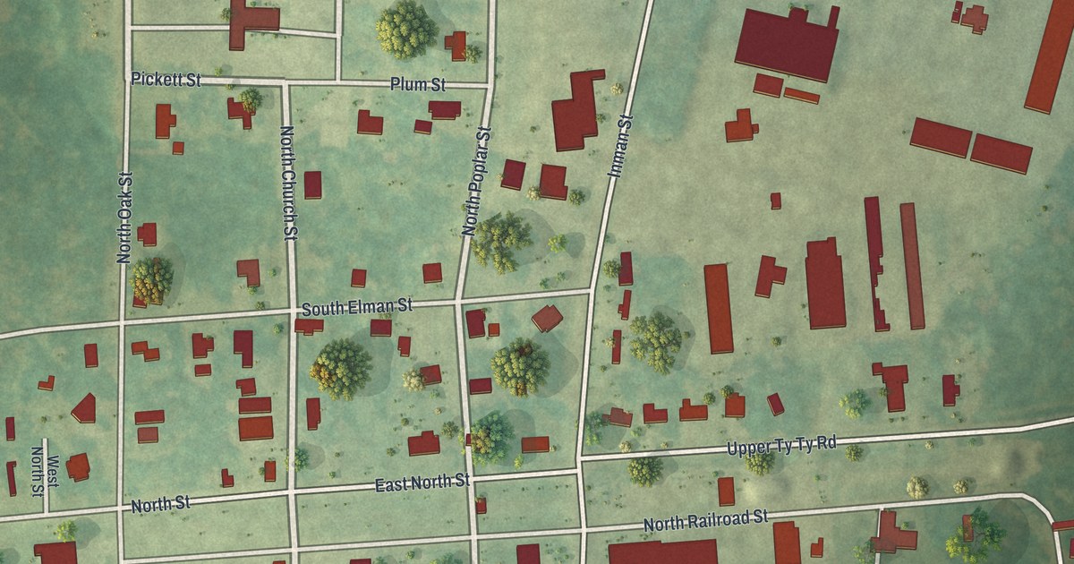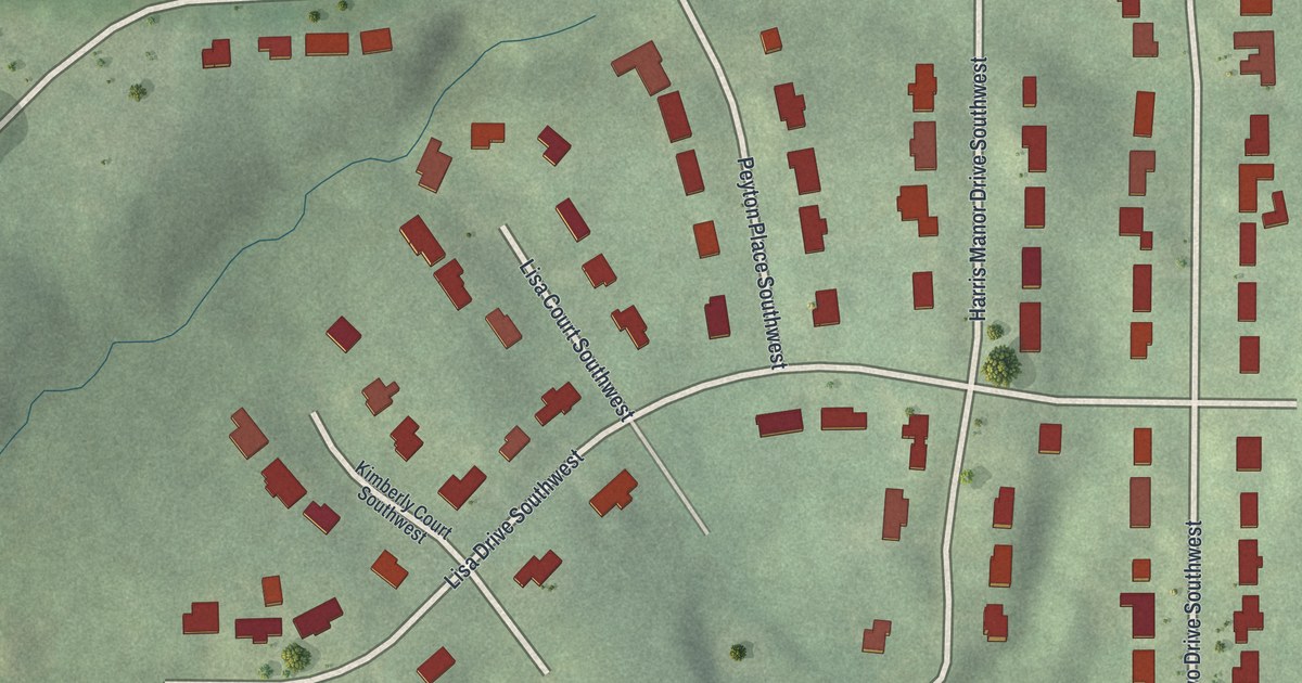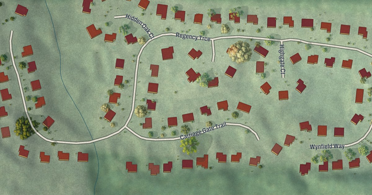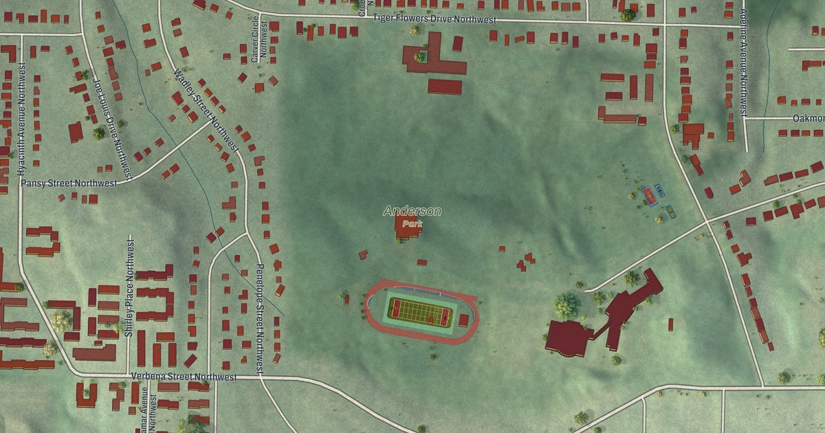
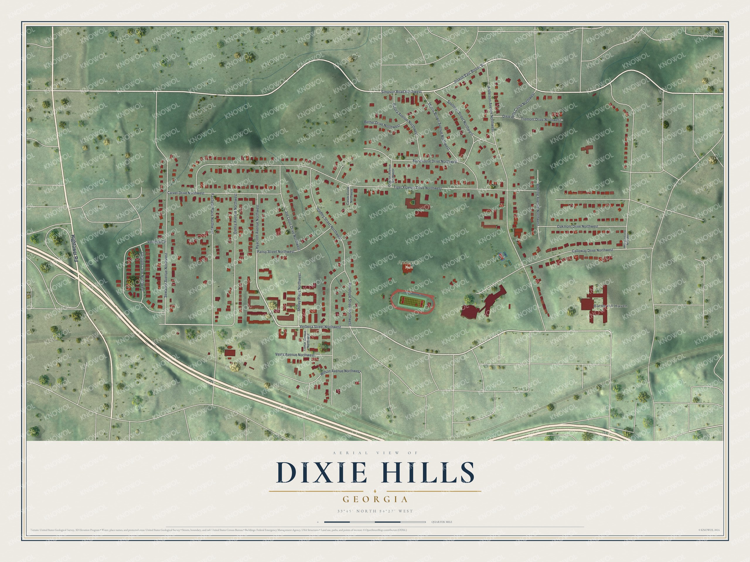
This beautifully detailed map of Dixie Hills, Georgia was created in 2026 using aerial imagery combined with modern topographical, census, street and landmark data. It’s a one-of-a-kind view of Dixie Hills that combines accurate data with a vintage aesthetic. The map shows every building in its true location, many of the roads carry their names, and the shaded topographic relief shows the shape of the land.
Explore an aerial view of Dixie Hills, Georgia
On the map you’ll find Battle Hill Haven and Anderson Park, along with Hightower Road, Verbena Street, Simpson Road, Joseph East Boone Street, Tiger Flowers Drive, and more. If you look closely you can even find your house accurately drawn in its correct location. Zoom in on the preview to look for yours.
Did You Know?
In June 1967, unrest broke out in Dixie Hills for three nights. It followed a speech by Stokely Carmichael at a protest over the shooting of a young man. Afterward, the city put money into the neighborhood. It built a path to Anderson Park and a baseball field, and it fixed streets.
Take a closer look at the Dixie Hills map
Names on this map
These names are printed on this map.
Places: Anderson Park and Battle Hill Haven.
Streets and roads: Hightower Road, Verbena Street Northwest, Simpson Road Northwest, Joseph East Boone Street, Tiger Flowers Drive Northwest, Anderson Avenue Northwest, Wadley Street Northwest, Fairfield Place Northwest, Sewanee Avenue Northwest, Dahlia Avenue Northwest, Calloway Drive Northwest, Morehouse Drive Northwest.
More street names, A to Z
Adeline Avenue Northwest, Aurora Avenue Northwest, Bethel Drive Northwest, Carver Circle Northwest, Carver Drive Northwest, Croecus Avenue Northwest, Dixie Hills Circle Northwest, Gaslight Lane Northwest, Hyacinth Avenue Northwest, Joe Louis Drive Northwest, Lamar Avenue Northwest, Morris Brown Avenue Northwest, Oakmont Drive Northwest, Pansy Street Northwest, Penelope Street Northwest, Shirley Place Northwest, Spellman Street Northwest, Tremont Drive Northwest, Verbena Circle, Vesta Avenue Northwest, Whitaker Circle Northwest, Wilson Avenue Northwest.
See it on a wall
The Dixie Hills map as a framed print. Swipe for more.


This beautifully detailed map of Dixie Hills makes an attractive addition to your office, library, or den, and it can even be used to teach children the geography and history of the area. It also makes a great gift for anyone who grew up in Dixie Hills or moved away. When you’re done exploring, click here to get your copy of the Dixie Hills map.