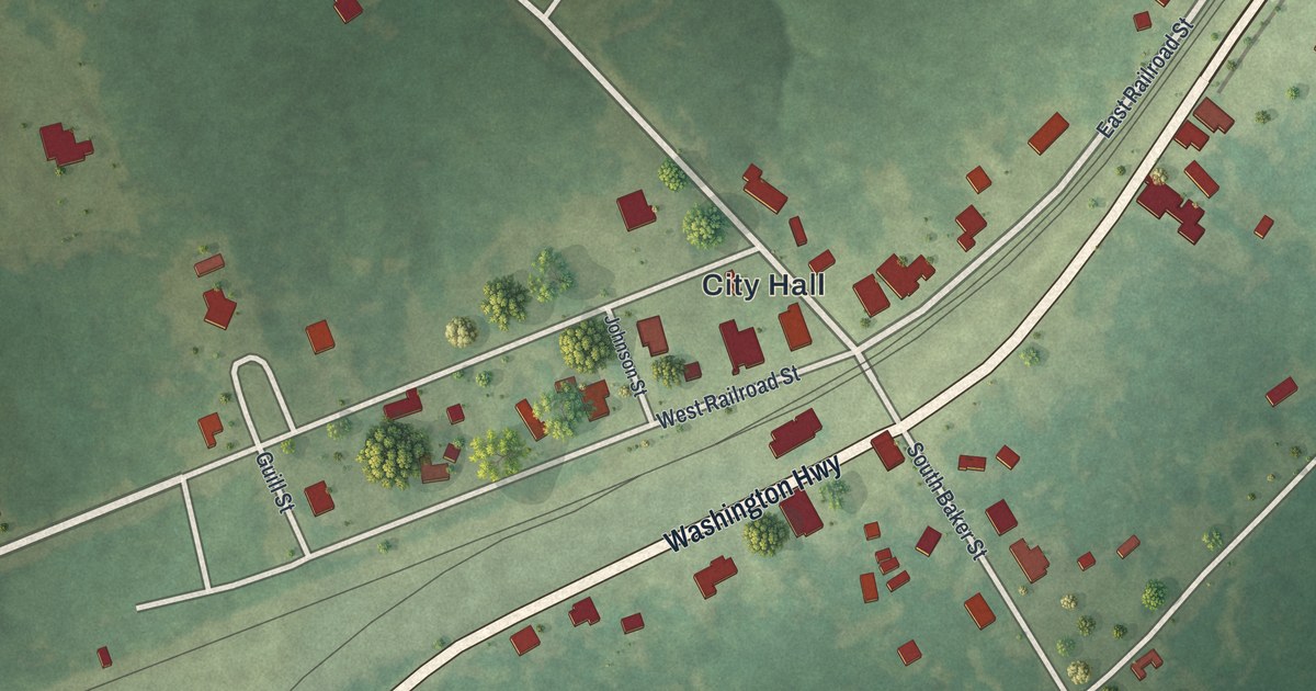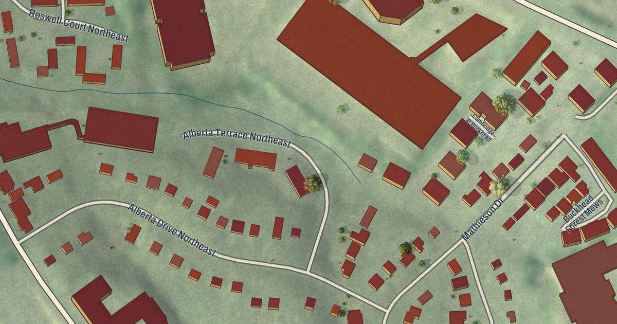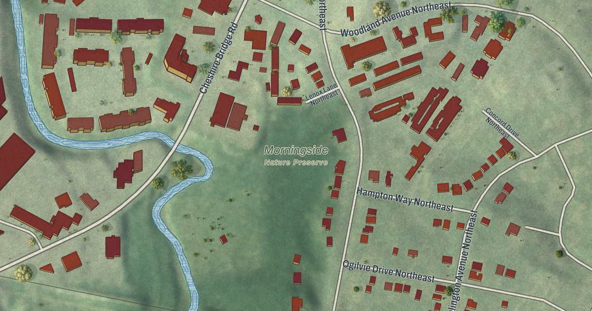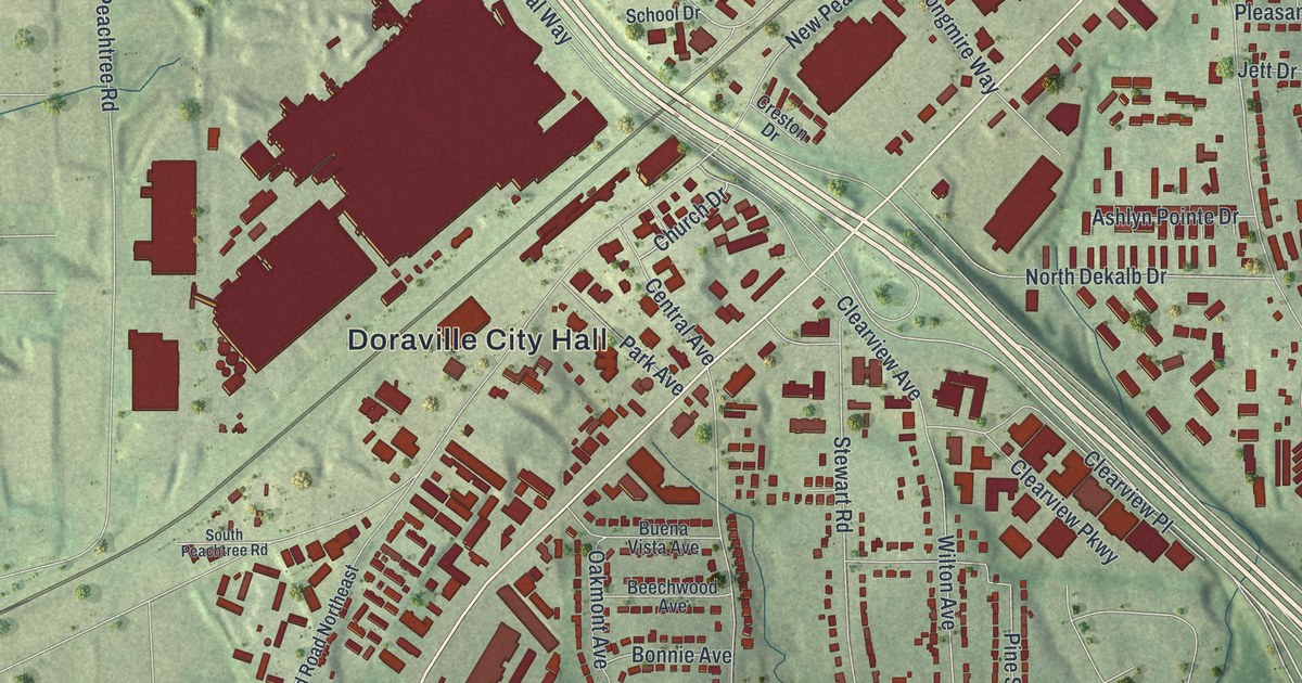
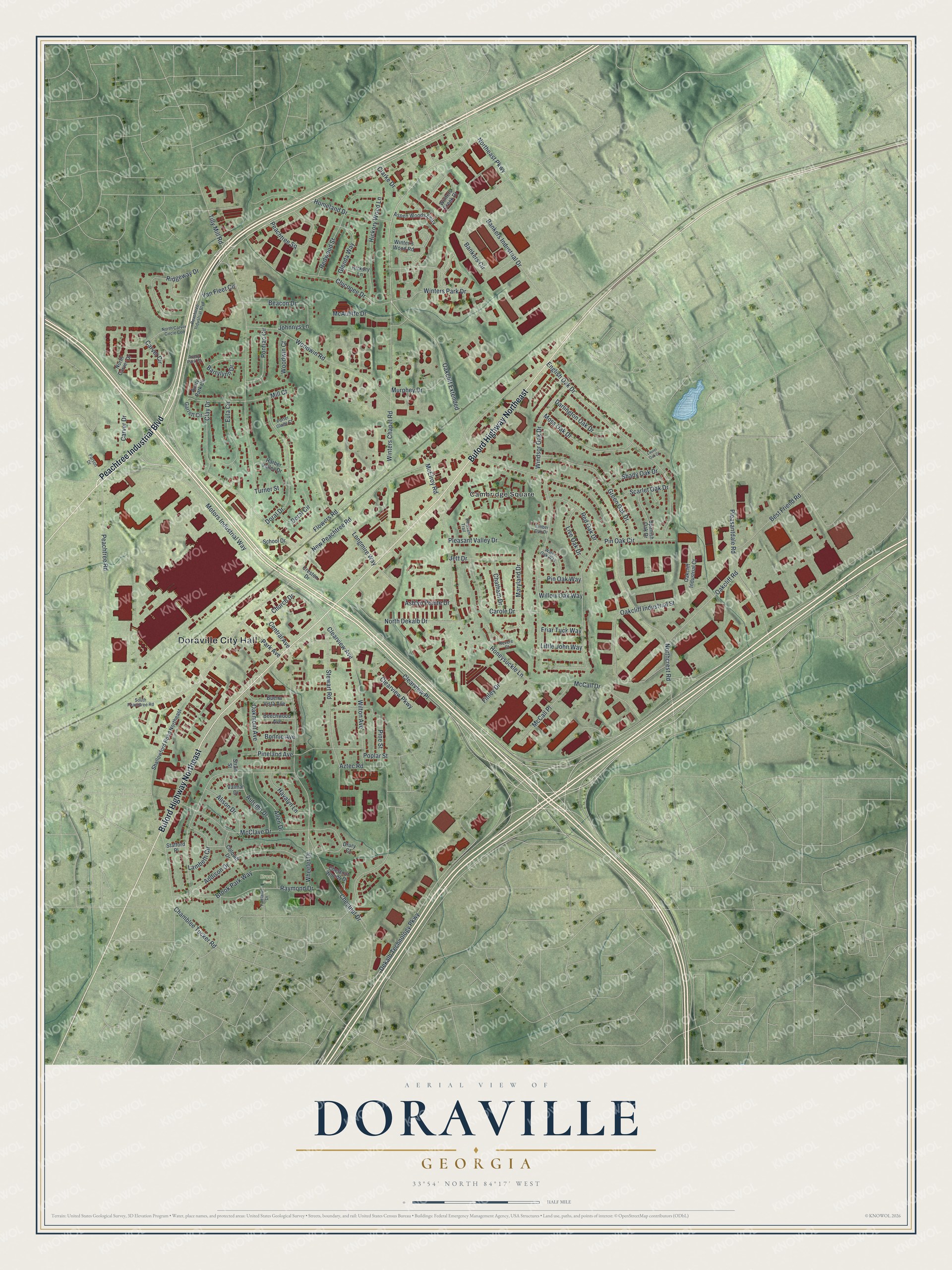
This beautifully detailed map of Doraville, Georgia was created in 2026 using aerial imagery combined with modern topographical, census, street and landmark data. It’s a one-of-a-kind view of Doraville that combines accurate data with a vintage aesthetic. The map shows every building in its true location, many of the roads carry their names, and the shaded topographic relief shows the shape of the land.
Explore an aerial view of Doraville, Georgia
On the map you’ll find Doraville City Hall, Oakcliff Extended, Cambridge Square, and Brook Park, along with Peachtree Industrial Boulevard, Buford Highway, Winters Chapel Road, and more. If you look closely you can even find your house accurately drawn in its correct location. Zoom in on the preview to look for yours.
Did You Know?
Doraville was a small farm town until the end of World War II. Then General Motors chose it for a new assembly plant, and the city boomed. Its population rose from 472 in 1950 to 6,160 by 1964. The GM plant closed in 2009 and was torn down in 2015.
Take a closer look at the Doraville map
Names on this map
These names are printed on this map.
Places: Doraville City Hall, Brook Park and Cambridge Square.
Streets and roads: Peachtree Industrial Boulevard, Buford Highway Northeast, Winters Chapel Road, Oakcliff Extended, Flowers Road, Winters Park Drive, Clearview Avenue, New Peachtree Road, Motors Industrial Way, Pin Oak Circle, Oakcliff Road, Chestnut Drive.
More street names, A to Z
Addison Drive, Alison Drive, Allen Drive, Ashlyn Pointe Drive, Aspen Woods Entry, Autumn Drive, Avery Park Circle, Avery Park Court, Aztec Road, Bankers Circle, Bankers Industrial Drive, Barrylynn Drive, Beacon Drive, Beechwood Avenue, Best Friend Road, Bonnie Avenue, Brook Park Way, Buena Vista Avenue, Carole Drive, Carver Circle, Carver Drive, Central Avenue, Chamblee Tucker Road, Chatham Drive, Chestnut Woods Drive, Chicopee Drive, Church Drive, Clarke Drive, Clay Drive, Clearview Parkway, Clearview Place, Colquitt Drive, Creston Drive, Darlington Oak Drive, Dekalb Technology Parkway, Doral Circle, Doral Drive, Drury Court, English Oak Drive, Eula Circle, Fairlane Drive, Finley Drive, Friar Tuck Way, Garrett Circle, Glenda Way, Green Oak Drive, Harber Valley Drive, Havalyn Lane, Hickory Lane, Hickory Wood Lane, Homeland Drive, Honeysuckle Lane, Jett Drive, Johnnys Lane, Lambeth Circle, Laurel Oak Court, Little John Way, Live Oak Drive, Longmire Way, Maryland Drive, McAuliffe Drive, McCall Drive, McCall Place, McClave Drive, McElroy Road, Mill Court, Moss Oak Drive, Murphey Drive, North Carver Circle Con, North Carver Drive, Northcrest Road, North Dekalb Drive, Northeast Parkway, Oakcliff Industrial Court, Oakcliff Industrial Street, Oakmont Avenue, Park Avenue, Parson Drive, Peachtree Road, Peachtree Square, Pineland Avenue, Pine Street, Pin Oak Way, Pleasantdale Road, Pleasant Trail, Pleasant Valley Drive, Pontiac Circle, Poplar Street, Porter Glade Court, Raymond Drive, Red Oak Drive, Redwood Street, Revere Court, Ridgeway Drive, Scarlet Oak Drive, School Drive, Shady Oak Drive, Shallowford Road Northeast, South Peachtree Road, Spanish Oak Drive, Stafford Place, Stewart Road, Strait Street, Tilly Mill Road, Timber Oak Drive, Turner Street, Valmar Drive, Van Fleet Circle, Water Oak Way, Wheeler Drive, Willow Oak Way, Wilton Avenue, Windsor Oak Drive, Winter's Wood Road, Winters Creek Drive, Woodwin Court, Woodwin Road.
See it on a wall
The Doraville map as a framed print. Swipe for more.


This beautifully detailed map of Doraville makes an attractive addition to your office, library, or den, and it can even be used to teach children the geography and history of the area. It also makes a great gift for someone who left Doraville and still calls it home. When you’re done exploring, click here to get your copy of the Doraville map.