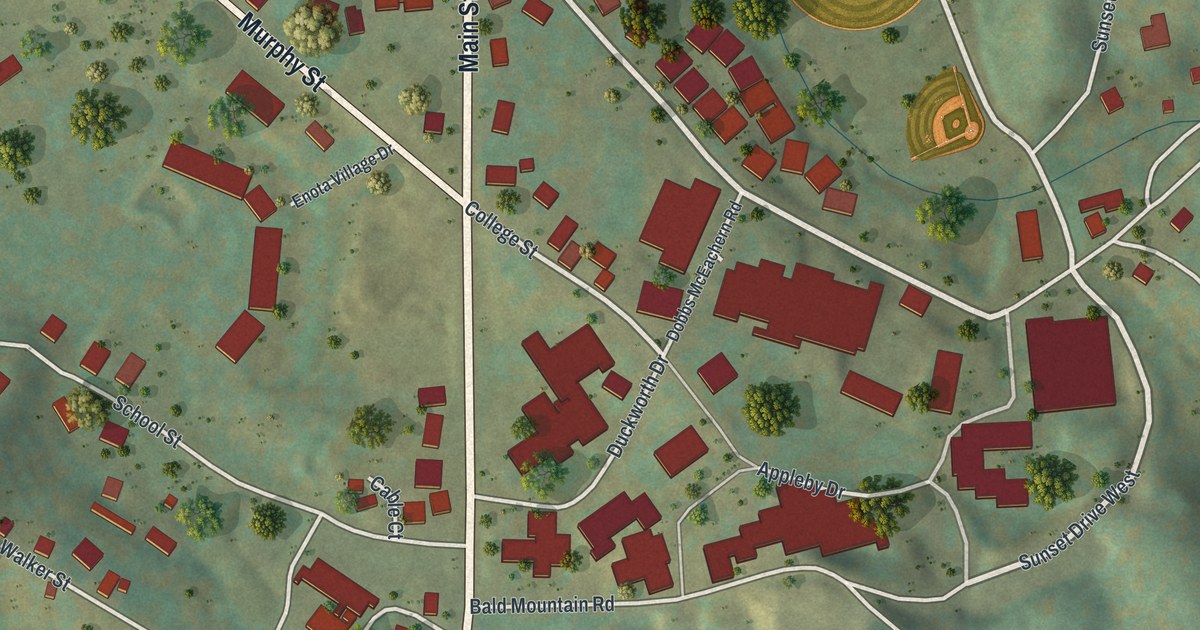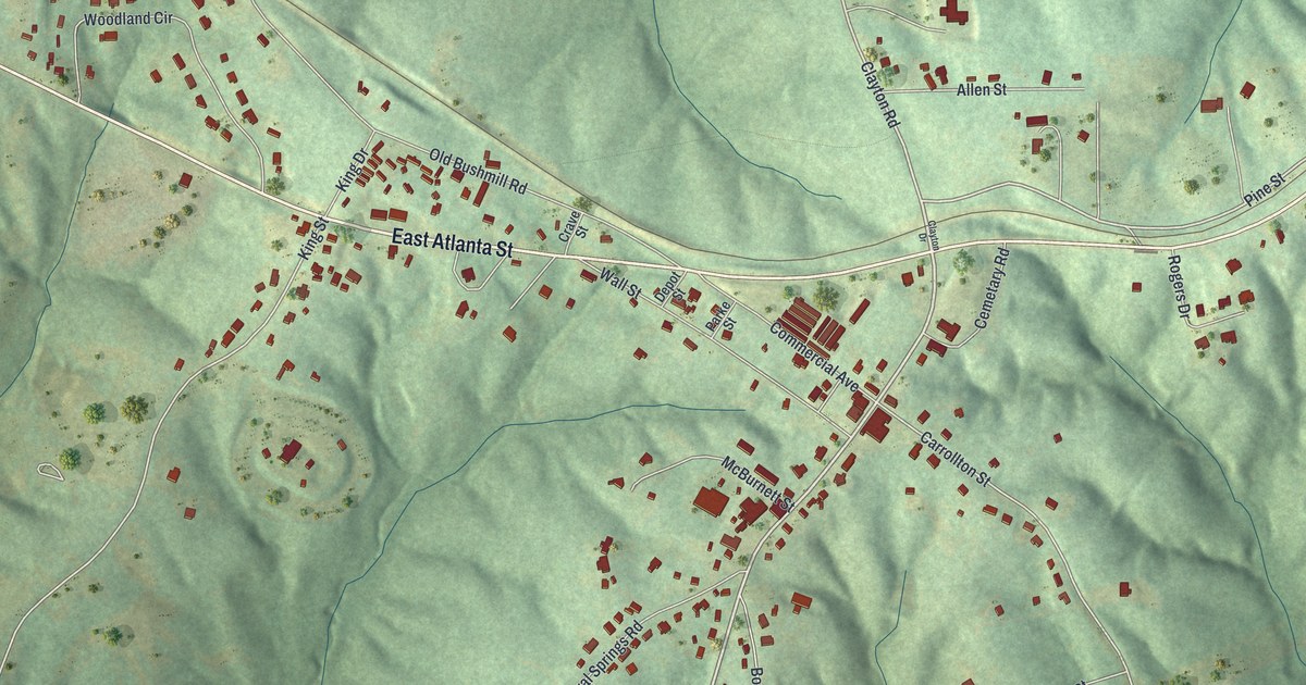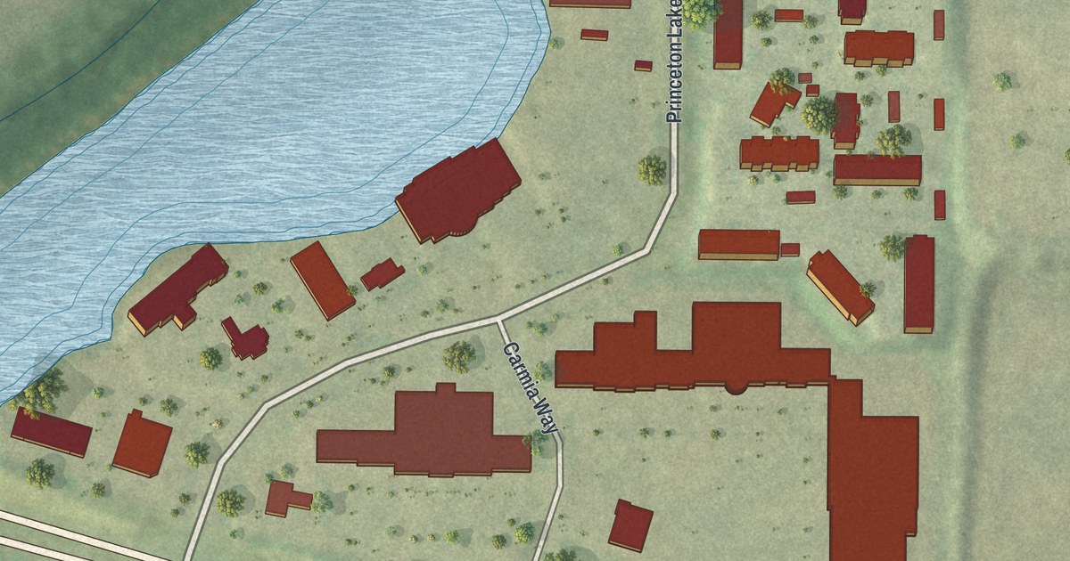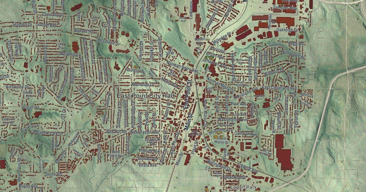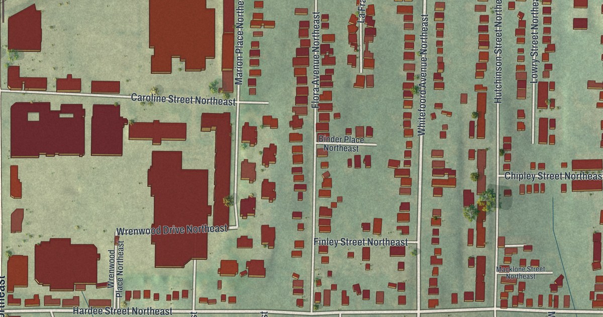
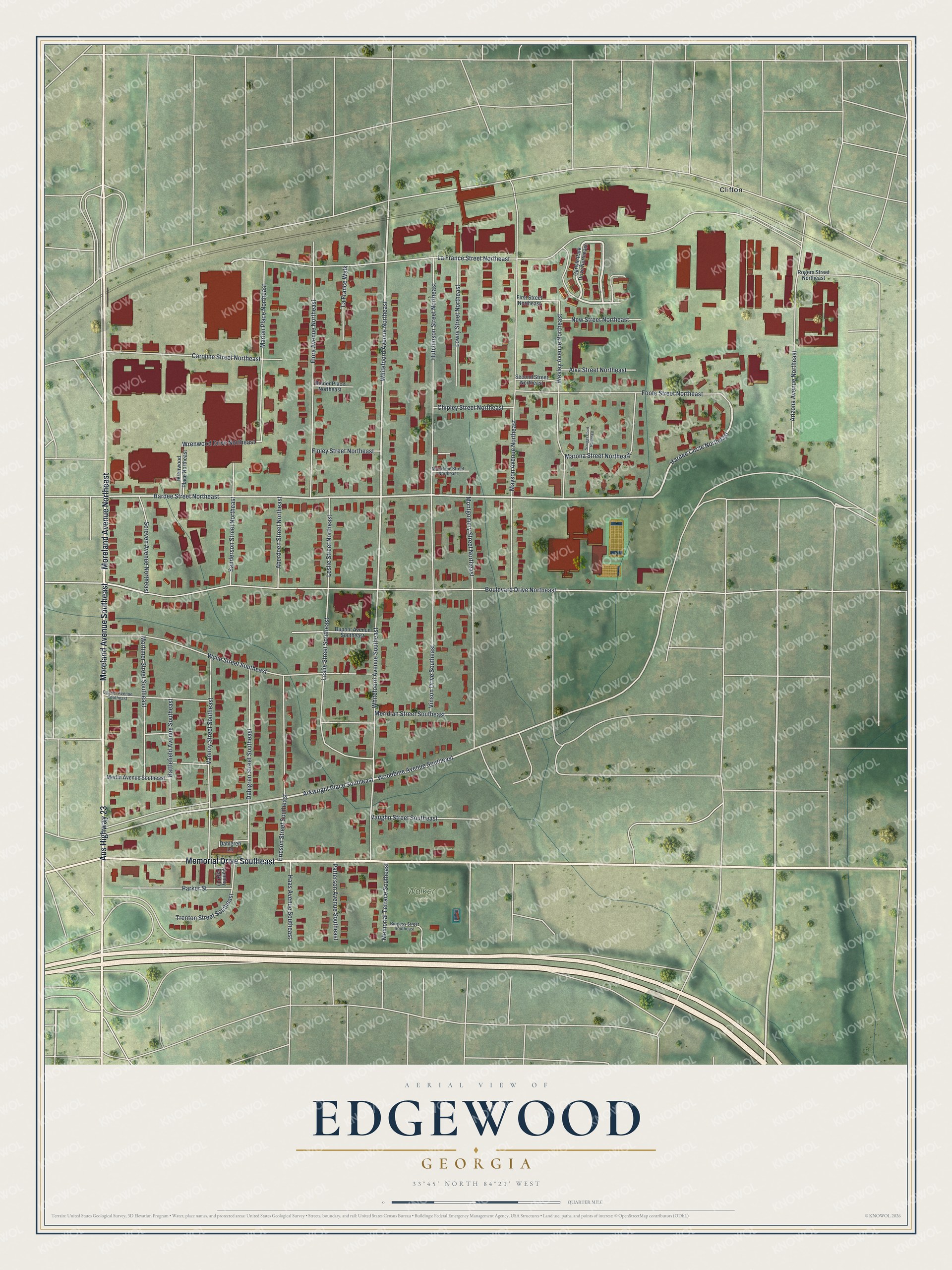
This beautifully detailed map of Edgewood, Georgia was created in 2026 using aerial imagery combined with modern topographical, census, street and landmark data. It’s a one-of-a-kind view of Edgewood that combines accurate data with a vintage aesthetic. The map shows every building in its true location, many of the roads carry their names, and the shaded topographic relief shows the shape of the land.
Explore an aerial view of Edgewood, Georgia
On the map you’ll find Clifton and Walker Park, along with Moreland Avenue, Memorial Drive, Hardee Street, Hardee Circle, Wrenwood Drive, and more. If you look closely you can even find your house accurately drawn in its correct location. Zoom in on the preview to look for yours.
Did You Know?
Edgewood was first called Hardeville, after William J. Hardee, who owned the most land in the area. It grew around a Georgia Railroad train depot. The name Edgewood appeared in print in 1879. Atlanta annexed the town in 1909 and upgraded its infrastructure in return.
Take a closer look at the Edgewood map
Names on this map
These names are printed on this map.
Places: Walker Park and Clifton.
Streets and roads: Aus Highway 23, Moreland Avenue Southeast, Memorial Drive Southeast, Moreland Avenue Northeast, Hardee Street Northeast, Hardee Circle Northeast, Wrenwood Drive Northeast, Arkwright Place Southeast, Whitefoord Avenue Northeast, Woodbine Avenue Southeast, La France Street Northeast, Boulevard Drive Northeast.
More street names, A to Z
Aberdeen Street Northeast, Alva Street Northeast, Arizona Avenue Northeast, Battlefield Avenue Southeast, Binder Place Northeast, Burgess Street Southeast, Carlyle Park Drive Northeast, Caroline Street Northeast, Chipley Street Northeast, Colmer Avenue Southeast, Dahlgren Lane, Dahlgren Street Southeast, Dupont Avenue Southeast, Ericson Street Southeast, Finley Street Northeast, First Street Northeast, Flora Avenue Northeast, Foote Street Northeast, Haas Avenue Southeast, Hutchinson Street Northeast, La France Walk, Leslie Street Northeast, Leslie Street Southeast, Lowry Street Northeast, Macklone Street Northeast, Marion Place Northeast, Marona Street Northeast, Mayson Avenue Northeast, Memorial Terrace Southeast, Meridian Street Southeast, Merlin Avenue Southeast, Montgomery Street Northeast, Mortimer Street Southeast, New Street Northeast, Parker Street, Patterson Avenue Southeast, Rogers Street Northeast, Sanderson Street Northeast, Screven Avenue Northeast, Scruggs Court Northeast, Second Street Northeast, Trenton Street Southeast, Vannoy Park Lane, Vannoy Street Southeast, Vaughn Street Southeast, Vinson Drive Southeast, Wesley Avenue Northeast, Whitefoord Avenue Southeast, Wrenwood Place Northeast, Wylie Street Southeast.
See it on a wall
The Edgewood map as a framed print. Swipe for more.


This beautifully detailed map of Edgewood makes an attractive addition to your office, library, or den, and it can even be used to teach children the geography and history of the area. It also makes a great gift for someone who left Edgewood and still calls it home. When you’re done exploring, click here to get your copy of the Edgewood map.