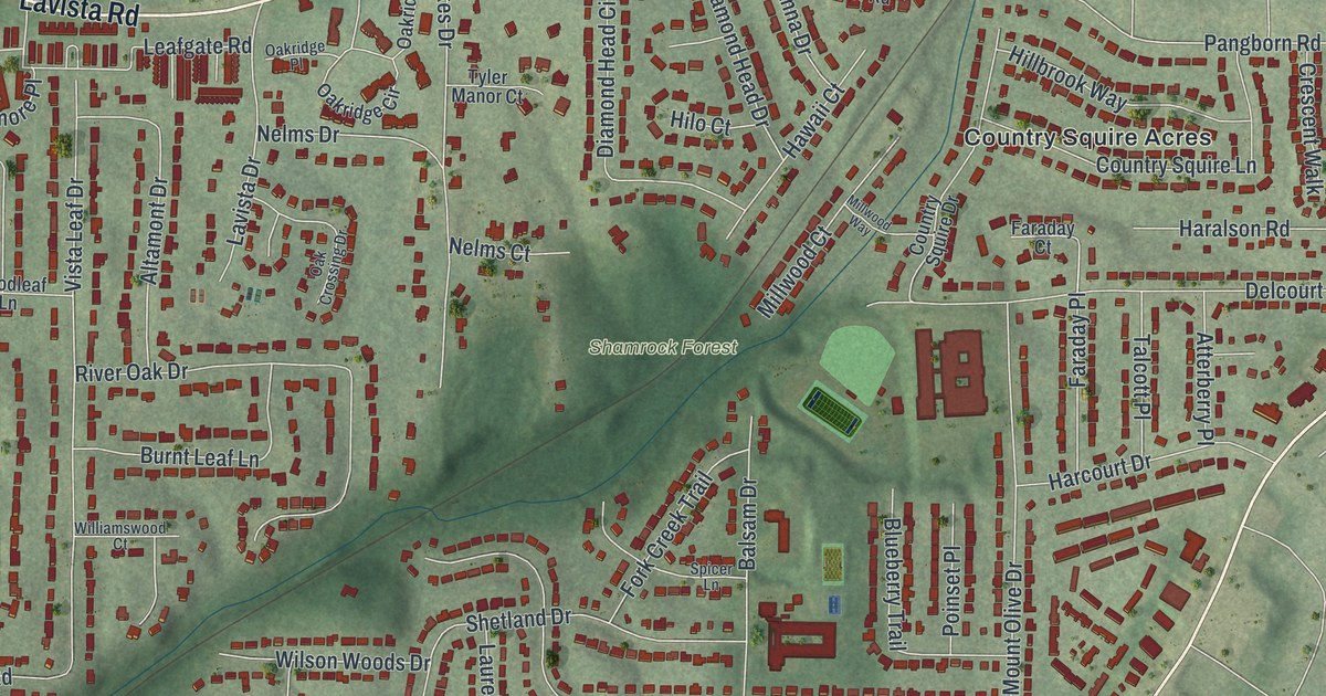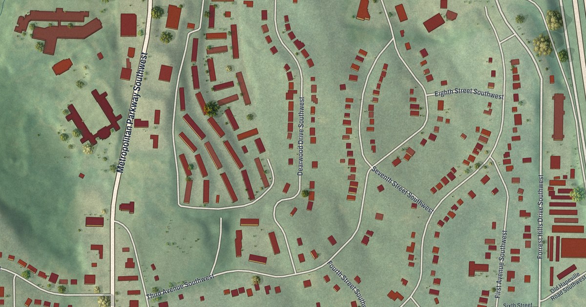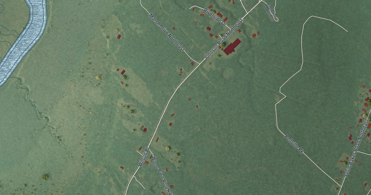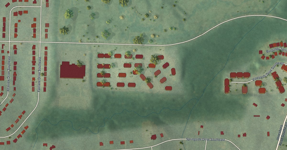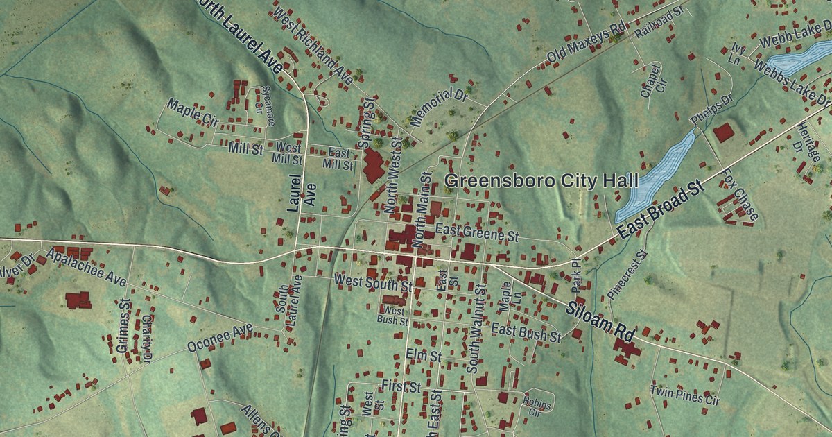
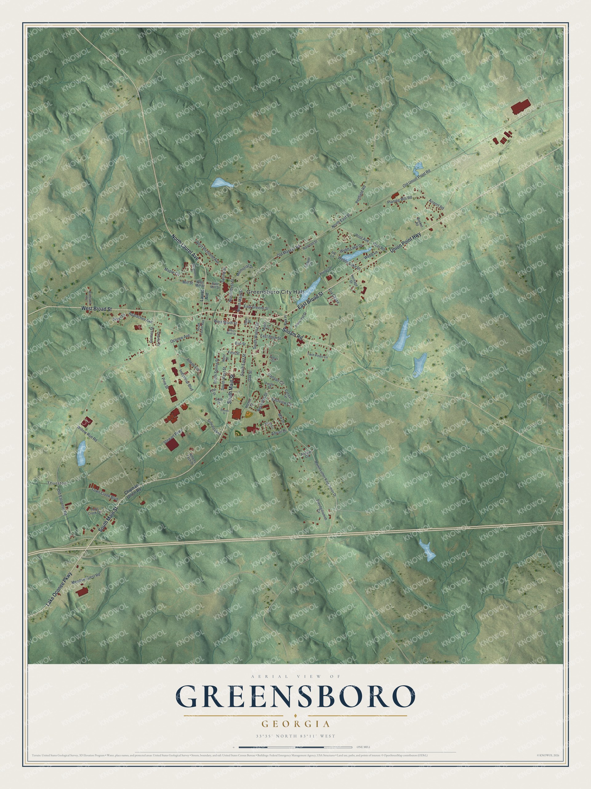
This beautifully detailed map of Greensboro, Georgia was created in 2026 using aerial imagery combined with modern topographical, census, street and landmark data. It’s a one-of-a-kind view of Greensboro that combines accurate data with a vintage aesthetic. The map shows every building in its true location, many of the roads carry their names, and the shaded topographic relief shows the shape of the land.
Explore an aerial view of Greensboro, Georgia
On the map you’ll find Greensboro City Hall and Thurston, along with Broad Street, Union Point Highway, Laurel Avenue, Main Street, and more. If you look closely you can even find your house accurately drawn in its correct location. Zoom in on the preview to look for yours.
Did You Know?
Greensboro was laid out to be the home of the University of Georgia. One hundred acres were set aside for the school, and lots were sold for shops and homes. Before building began, Athens was picked instead. Franklin College opened there and later became the University of Georgia. That’s from the 1940 WPA guide to Georgia.
Take a closer look at the Greensboro map
Names on this map
These names are printed on this map.
Places: Greensboro City Hall and Thurston.
Streets and roads: East Broad Street, Union Point Highway, North Laurel Avenue, South Main Street, West Broad Street, Siloam Road, Lake Oconee Parkway, South East Street, Oak Street, Reynolds Drive, Mlk Drive, Canaan Circle.
More street names, A to Z
Adrian Circle, Adrian Drive, Airport Road, Allens Circle, Apalachee Avenue, Armour Circle, Athens Tech Drive, Booker Road, Breedgillismith Circle, Canaan Terrace, Chapel Circle, Charity Drive, Chipman Union Road, East Bush Street, East Greene Street, East Mill Street, East Street, Eastview Circle, Elm Street, Fifth Street, First Street, Foster Street, Fox Chase, Grimes Street, Heritage Drive, Industrial Boulevard, Ivy Lane, Laurel Avenue, Maple Circle, Maple Lane, Martin Luther King Junior Drive, Meadow Crest Road, Memorial Drive, Mill Street, North East Street, North Main Street, North West Street, Oconee Avenue, Old Eatonton Road, Old Maxeys Road, Old Union Point Road, Park Place, Penfield Road, Phelps Drive, Pinecrest Street, Pine Street, Planing Mill Road, Pool Avenue, Pool Road, Rachel Street, Railroad Street, Richland Heights, Robins Circle, Seventh Street, Silver Drive, Sixth Street, South Laurel Avenue, South Spring Street, South Walnut Street, South West Street, Spring Street, Steward Parkway, Stewart Parkway, Sycamore Circle, Town Creek Boulevard, Town Creek Circle, Twin Pines Circle, Webb Lake Drive, Webb Lane, Webbs Lake Drive, West Bush Street, West Mill Street, West Richland Avenue, West South Street, West Street, Willow Run Road.
See it on a wall
The Greensboro map as a framed print. Swipe for more.


This beautifully detailed map of Greensboro makes an attractive addition to your office, library, or den, and it can even be used to teach children the geography and history of the area. It also makes a great gift for anyone who grew up in Greensboro or moved away. When you’re done exploring, click here to get your copy of the Greensboro map.