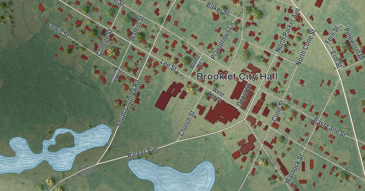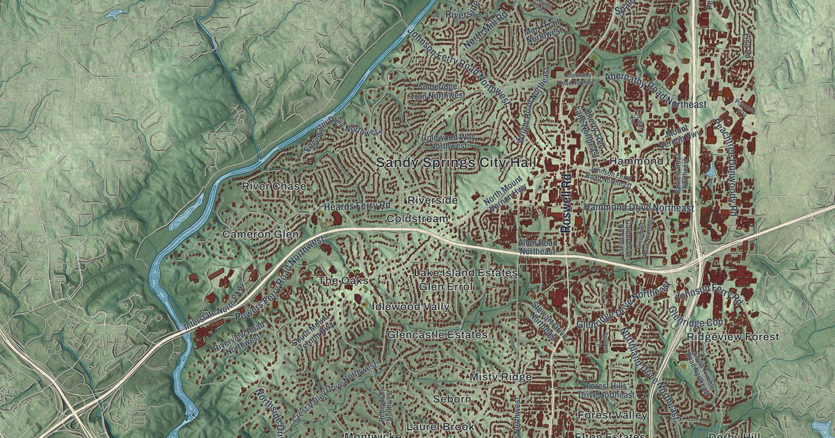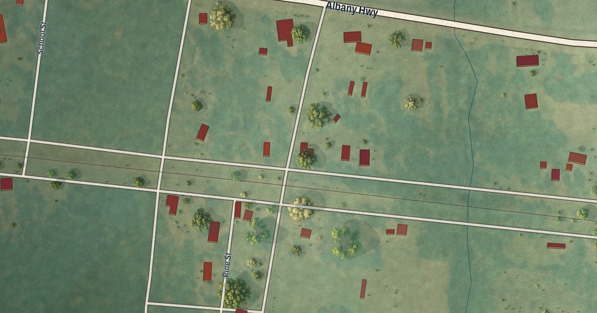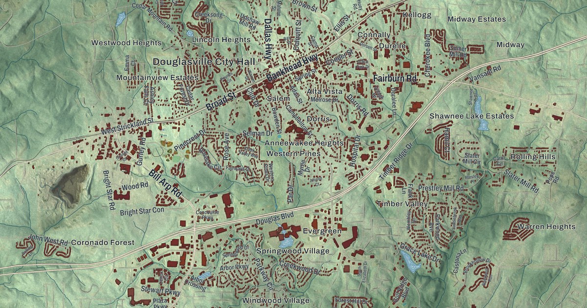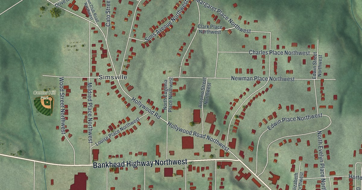
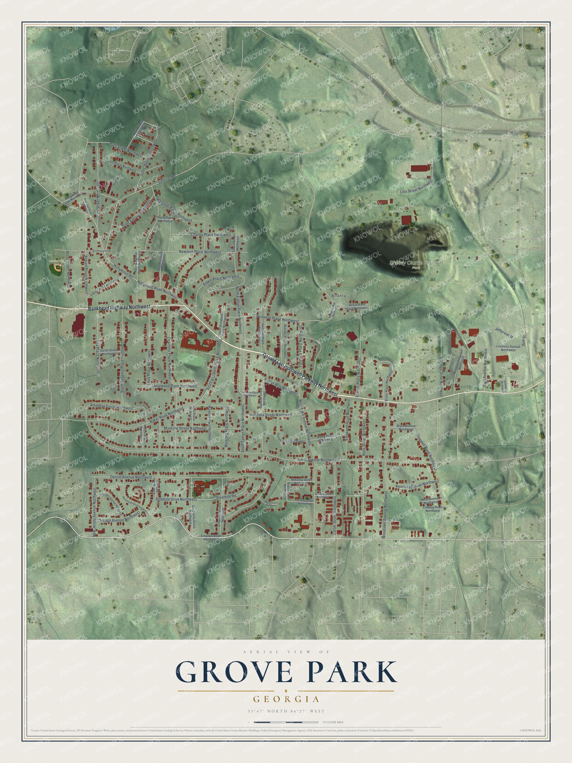
This beautifully detailed map of Grove Park, Georgia was created in 2026 using aerial imagery combined with modern topographical, census, street and landmark data. It’s a one-of-a-kind view of Grove Park that combines accurate data with a vintage aesthetic. The map shows every building in its true location, many of the roads carry their names, and the shaded topographic relief shows the shape of the land.
Explore an aerial view of Grove Park, Georgia
On the map you’ll find South Elizabeth Place, Atlanta, Simsville, Shirley Clarke Franklin Park, and Center Hill Park, along with Donald Lee Hollowell Parkway, Bankhead Highway, Holly Street, Gary Avenue, and more. If you look closely you can even find your house accurately drawn in its correct location. Zoom in on the preview to look for yours.
Did You Know?
Grove Park was named for Edwin Wiley Grove, a wealthy maker of medicines. His company built most of the neighborhood in the 1920s and 1930s. It was first called Fortified Hills, a name from the Civil War. Grove named streets for his wife Gertrude, daughter Evelyn and son Edwin.
Take a closer look at the Grove Park map
Names on this map
These names are printed on this map.
Places: Grove Park, Shirley Clarke Franklin Park, Center Hill Park, Atlanta and Simsville.
Streets and roads: Donald Lee Hollowell Parkway Northwest, Bankhead Highway Northwest, South Elizabeth Place Northwest, Holly Street Northwest, Gary Avenue Northwest, South Evelyn Place Northwest, North Avenue Northwest, Detroit Avenue Northwest, West Lake Avenue Northwest, Hortense Place Northwest, Charlotte Place Northwest, Edwin Place Northwest.
More street names, A to Z
Alta Place Northwest, Antonio Street Northwest, Arlington Circle Northwest, Arvilla Street Northwest, Baker Road Northwest, Blanche Street Northwest, Blyss Avenue Northwest, Carlisle Street Northwest, Cato Street Northwest, Chappell Road Northwest, Charles Place Northwest, Chicago Avenue Northwest, Christina Street Northwest, Clark Place Northwest, Conway Place Northwest, Detroit Court Northwest, Dixie Hills Circle Northwest, Edwin Street Northwest, Elbridge Drive Northwest, Elinor Place Northwest, Elmwood Road Northwest, Emily Place Northwest, Evelyn Way Northwest, Florence Place Northwest, Francis Place Northwest, Gertrude Place Northwest, Grove Park Place Northwest, Gun Club Road Northwest, Hasty Place Northwest, Hollywood Drive Northwest, Hollywood Road, Hollywood Road Northwest, Hortense Way Northwest, Illinois Avenue Northwest, Ireland Place Northwest, Jefferson Street, Jetal Place Northwest, Johnson Road, Jones Avenue Northwest, Kennesaw Drive Northwest, Lanier Street Northwest, Lois Place Northwest, Lois Street Northwest, Louise Place Northwest, Loveless Avenue Northwest, Madrona Street Northwest, Margaret Place Northwest, Markone Street Northwest, Marktrey Place Northwest, Marktwo Place Northwest, Matilda Place Northwest, Maywood Place Northwest, Mildred Place Northwest, Nekoma Street Northwest, New Jersey Avenue Northwest, Newman Place Northwest, North Elizabeth Place Northwest, North Eugenia Place Northwest, North Evelyn Place Northwest, North Street Northwest, Pelton Place Northwest, Pinedale Drive Northwest, Pinedale Road, Ruth Street Northwest, Sarah Street Northwest, Simpson Road Northwest, Simpson Terrace Northwest, Sims Avenue Northwest, South Eugenia Place Northwest, Stiff Street, Stiff Street Northwest, Thoms Drive Northwest, West Avenue Northwest, Westchester Boulevard Northwest, Woodland Avenue Northwest, Woodlawn Avenue Northwest, Wood Street Northwest, Yonkers Avenue Northwest.
See it on a wall
The Grove Park map as a framed print. Swipe for more.


This beautifully detailed map of Grove Park makes an attractive addition to your office, library, or den, and it can even be used to teach children the geography and history of the area. It also makes a great gift for someone who left Grove Park and still calls it home. When you’re done exploring, click here to get your copy of the Grove Park map.