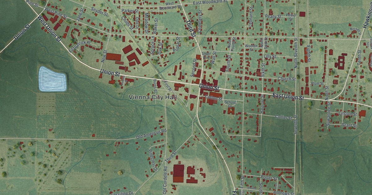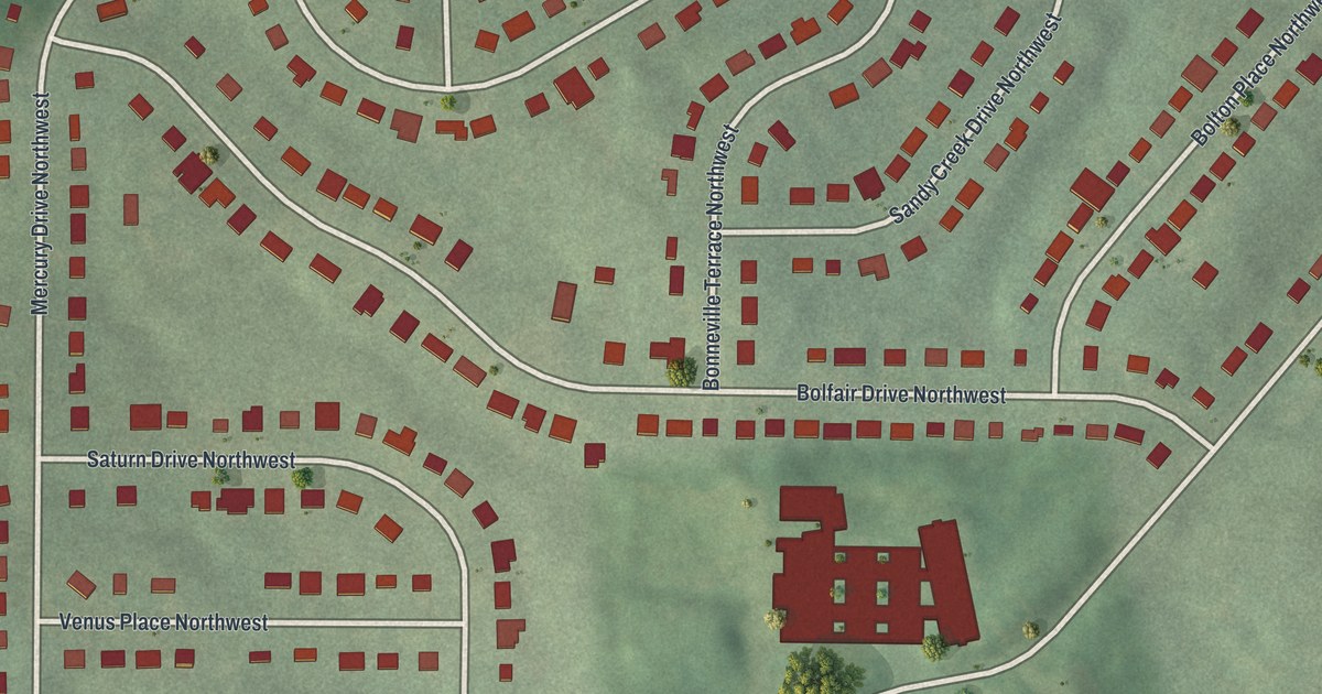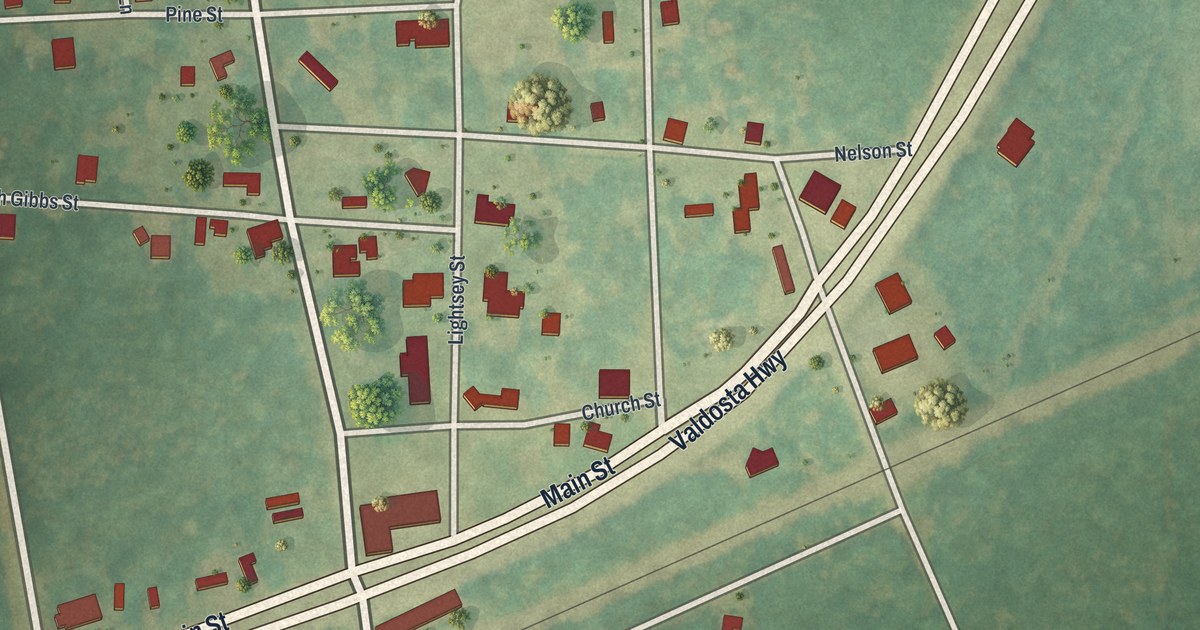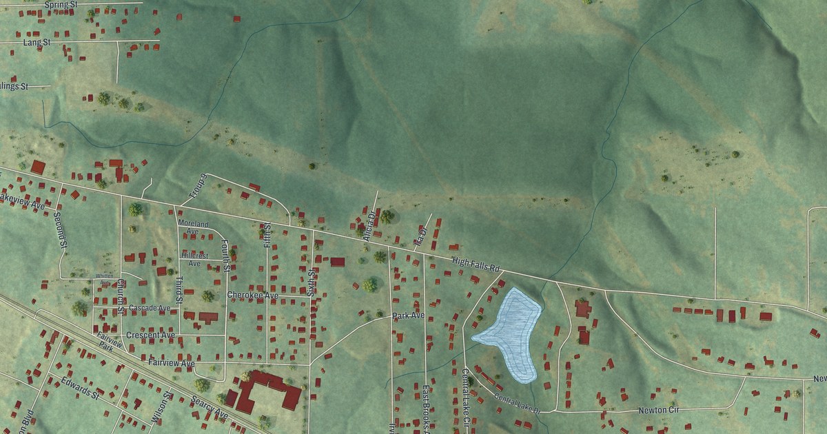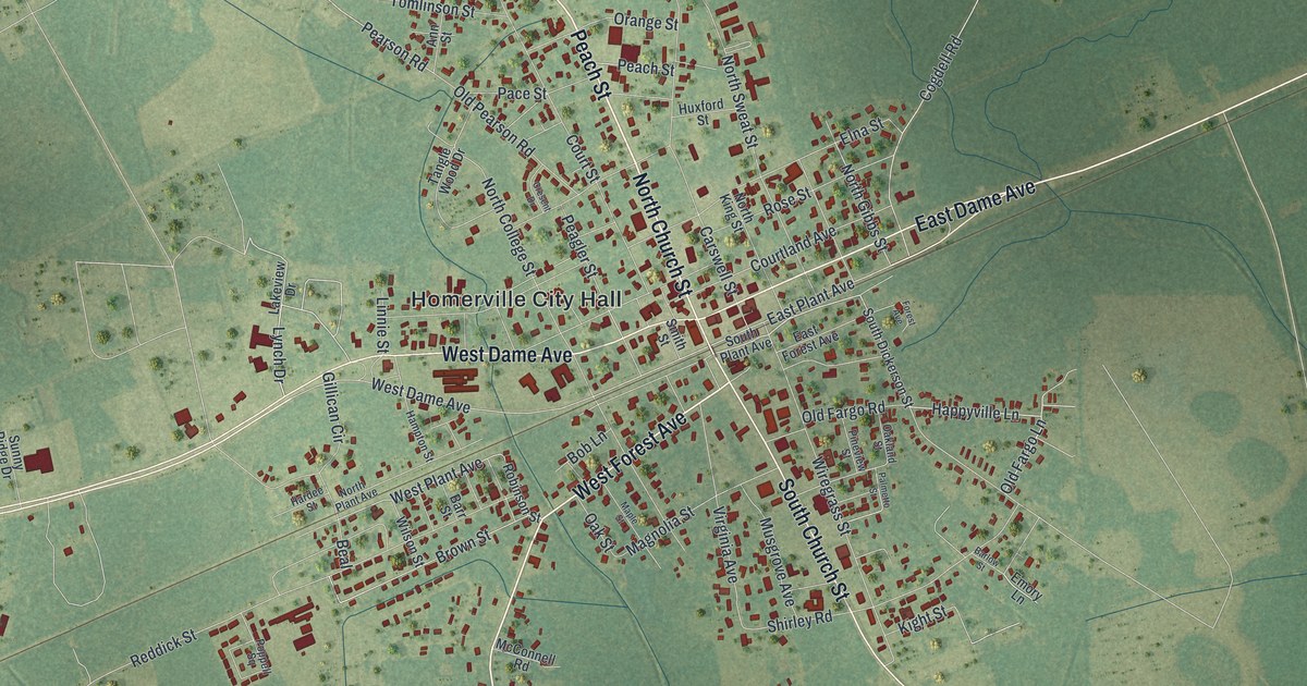
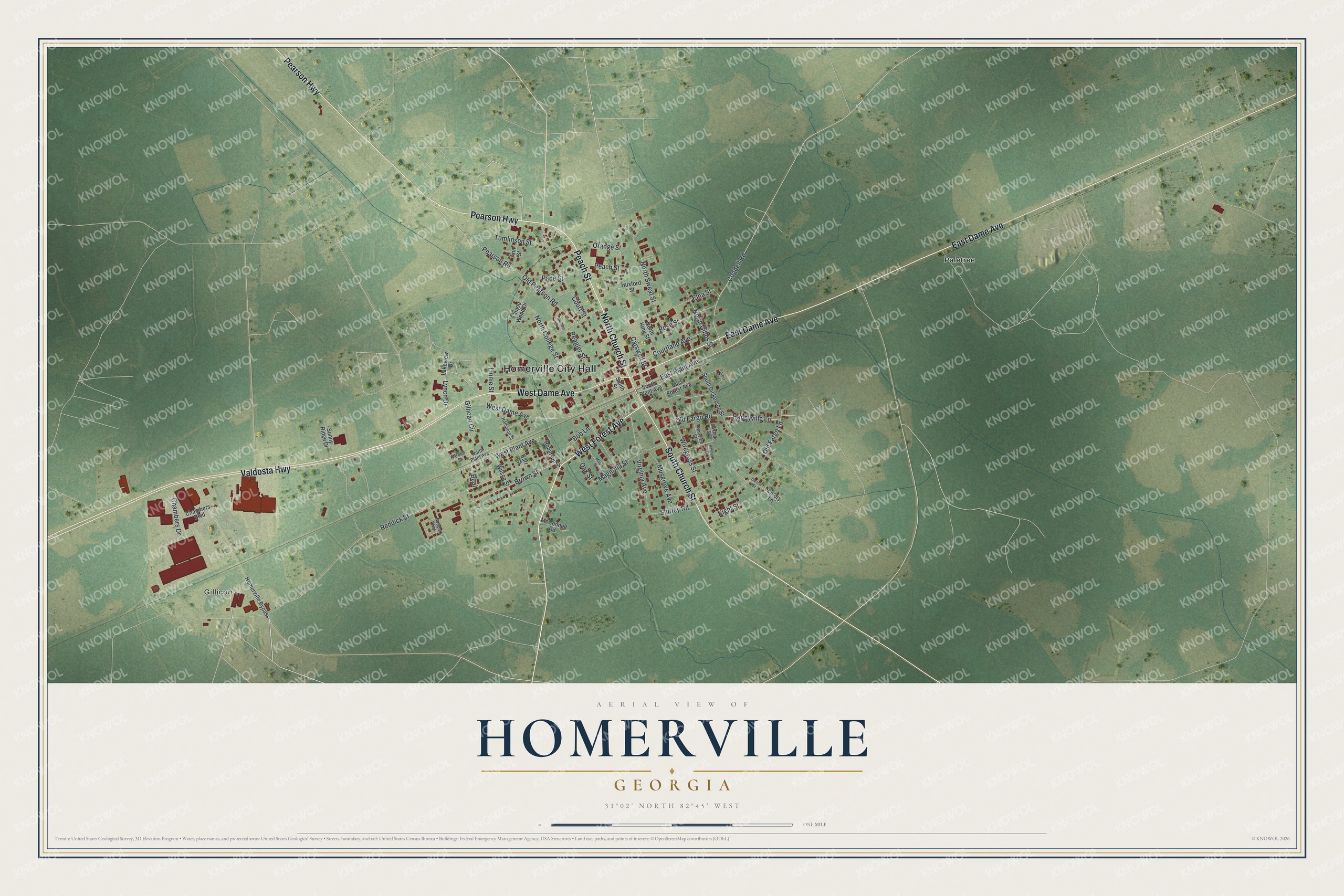
This beautifully detailed map of Homerville, Georgia was created in 2026 using aerial imagery combined with modern topographical, census, street and landmark data. It’s a one-of-a-kind view of Homerville that combines accurate data with a vintage aesthetic. The map shows every building in its true location, many of the roads carry their names, and the shaded topographic relief shows the shape of the land.
Explore an aerial view of Homerville, Georgia
On the map you’ll find Homerville City Hall, Gillicon, and Paletree, along with Pearson Highway, Church Street, Forest Avenue, Peach Street, and more. If you look closely you can even find your house accurately drawn in its correct location. Zoom in on the preview to look for yours.
Did You Know?
John Homer Mattox moved his family here from the Suwannee River and named the settlement Homersville after himself. When the railroad came, people called it Station No. 11. In 1860 about 275 citizens petitioned to move the county seat here, and lawmakers agreed that same year.
Take a closer look at the Homerville map
Names on this map
These names are printed on this map.
Places: Homerville City Hall, Gillicon and Paletree.
Streets and roads: Pearson Highway, North Church Street, West Forest Avenue, Peach Street, East Dame Avenue, Valdosta Highway, West Dame Avenue, South Church Street, West Plant Avenue, Happyville Lane, Lynch Drive, East Plant Avenue.
More street names, A to Z
Ann Street, Barlow Street, Barr Street, Beal, Bob Lane, Brown Street, Carswell Street, Chambers Boulevard, Chambers Drive, Cogdell Road, Courtland Avenue, Court Street, Cresent Drive, East Forest Avenue, Elna Street, Emory Lane, Forest Avenue, Gillican Circle, Hampton Street, Hardee Street, Homerville Bypass, Huxford Street, Kight Street, Lakeview Drive, Linnie Street, Magnolia Street, Maple Street, McConnell Road, Musgrove Avenue, North College Street, North Gibbs Street, North King Street, North Plant Avenue, North Sweat Street, Oakland Street, Oak Street, Old Fargo Lane, Old Fargo Road, Old Pearson Road, Orange Street, Pace Street, Palmetto Street, Peagler Street, Pearson Road, Pineview Street, Poppell Square, Reddick Street, Robinson Street, Rose Street, Shirley Road, Smith Street, South Dickerson Street, South Plant Avenue, Sunny Ridge Drive, Tangle Wood Drive, Tomlinson Street, Virginia Avenue, Wilson Street, Wiregrass Street.
See it on a wall
The Homerville map as a framed print. Swipe for more.


This beautifully detailed map of Homerville makes an attractive addition to your office, library, or den, and it can even be used to teach children the geography and history of the area. It also makes a great gift for someone who left Homerville and still calls it home. When you’re done exploring, click here to get your copy of the Homerville map.