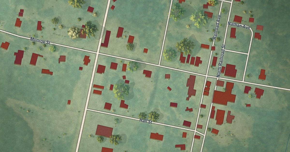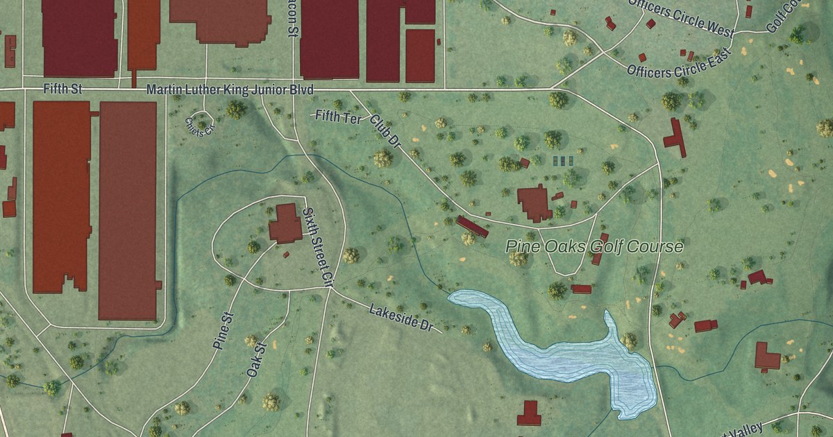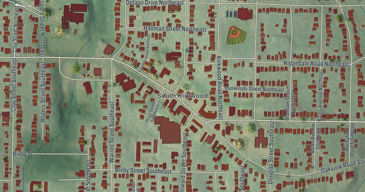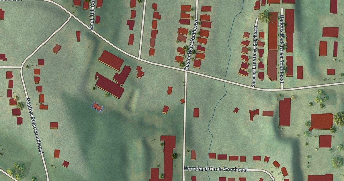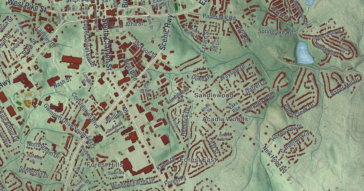
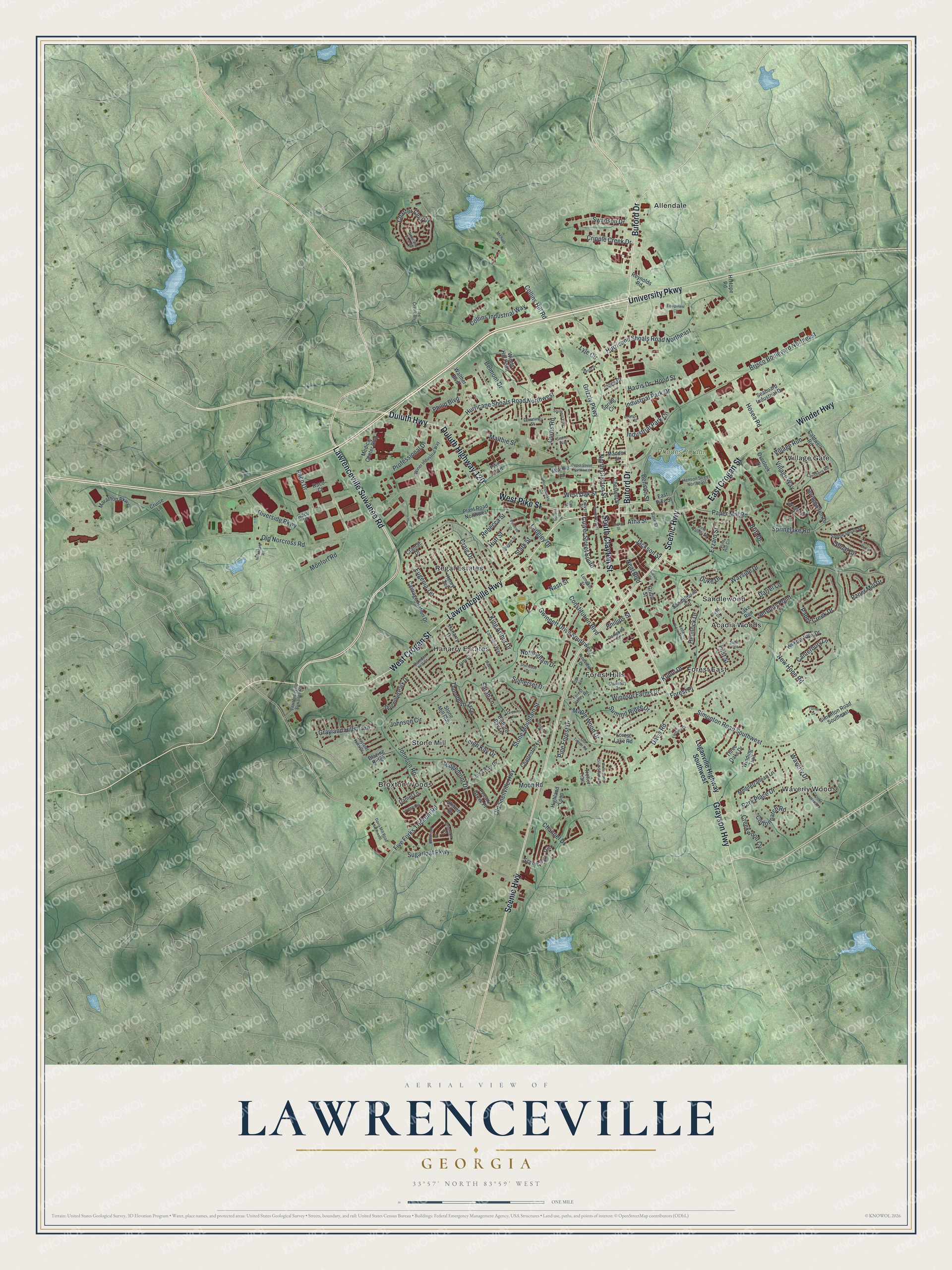
This beautifully detailed map of Lawrenceville, Georgia was created in 2026 using aerial imagery combined with modern topographical, census, street and landmark data. It’s a one-of-a-kind view of Lawrenceville that combines accurate data with a vintage aesthetic. The map shows every building in its true location, many of the roads carry their names, and the shaded topographic relief shows the shape of the land.
Explore an aerial view of Lawrenceville, Georgia
On the map you’ll find Acadia Woods, Allendale, Broxton Woods, Forest East, Forest Hills, and Rhodes Jordan Park, along with Lawrenceville Highway, Buford Drive, Lawrenceville Suwanee Road, Crogan Street, Duluth Highway, and more. If you look closely you can even find your house accurately drawn in its correct location. Zoom in on the preview to look for yours.
Did You Know?
The Georgia General Assembly incorporated Lawrenceville on December 15, 1821. That makes it the second oldest city in metro Atlanta. William Maltbie, the first postmaster, proposed the name. It honors Commodore James Lawrence, who led the frigate Chesapeake in the War of 1812.
Take a closer look at the Lawrenceville map
Names on this map
These names are printed on this map.
Places: Rhodes Jordan Park, Acadia Woods, Allendale, Broxton Woods, Forest East, Forest Hills, Hanarry Estates, Regal Estates, Sandlewood, Stone Mill, Village Gate and Waverly Woods.
Streets and roads: Lawrenceville Highway, Buford Drive, Lawrenceville Suwanee Road, East Crogan Street, Duluth Highway, West Crogan Street, South Clayton Street, West Pike Street, Scenic Highway, Grayson Highway, University Parkway, Duluth Highway 120.
More street names, A to Z
Atha Street, Baggett Street, Bank Street, Bedford Bay Lane, Bellbrook Lane, Belmont Drive, Benson Street, Blake Street, Blazing Ridge, Brianton Court, Brisco Boulevard Northeast, Britt Drive, Caldwell Road, Camden Hill Court, Campbell Street, Canterbury Lane, Carithers Road, Carriage Station Drive, Carver Circle, Cedar Ridge Trail, Channel Drive, Charleston Lane, Charter Club Drive, Chestnut Street, Collins Hill Road, Collins Industrial Way, Constitution Boulevard, Cottonpatch Road, Craig Drive, Cramac Drive, Creekwood Cv, Cremins Road, Cripple Creek Drive, Cruise Lane, Culver Street, Culver Street South, Curtis Road, Daniel Lane, Darrel Lane, Davis Mill Road Northwest, Davis Road, Depot Street Northwest, Dogwood Park Drive, Downing Street, Duke Drive, East Pike Street, Equipment Court, Eugenia Terrace, Ezzard Street, Farmers Court, First Street, Five Forks Trickum Road, Floyd Street, Forest Lake Road, Forest Place, Forest Valley Road, Gordon Street, Grayland Hills Drive, Grayland Hills Trail, Griffin Street, Grizzly Parkway, Gwinnett Drive Southwest, Hanarry Drive, Harris Drive, Hemlock Drive, Henry Terrace, Henson Street Northeast, Hickory View Drive, Highland Loop, Hi Hope Road, Hillandale Road, Honeysuckle Circle, Hood Street, Hosea Road, Huff Street, Hurricane Shoals Road Northeast, Hurricane Shoals Road Northwest, Industrial Park Circle, Industrial Park Drive, Jackson Street, Jami Court, Joans Court, Johnson Circle, Johnson Road, King Arthur Drive, Kubol Drive, Lake Run, Lancelot Way, Langley Drive, Leigh Kay Drive, Lisa Kay Drive, Livery Circle, Loganville Highway Southwest, Longleaf Court, Luckie Street, Lumpkin Street, Lyle Circle, Maddox Street, Maltbie Ind, Maltbie Street, Maple Wood Drive, Marathon Parkway, Medical Center Boulevard, Mediterranean Lane, Michael Drive, Monfort Road, Moon Road, Nash Street, Neal Boulevard, New Hope Road, North Clayton Street, Nottingham Drive, Oak Street, Oak Terrace, Old Norcross Road, Old Snellville Highway, Old Timber Road, Overlook Drive, Paper Creek Drive, Paper Mill Drive, Paper Mill Road, Park Place Drive, Pecan Grove Place, Philip Boulevard, Phillips Street, Pike Boulevard, Pine Forest Drive, Pine Hill Circle, Pinetree Drive, Pine Valley Lane, Pineview Drive, Plant Road Northwest, Professional Drive, Raco Court, Raco Drive, Raco Place, Rebecca Street, Reynolds Road, Ridgemont Drive, Riverside Parkway, Roberts Street, Saddle Bow, Saddle Shoals Drive, Sandalwood Circle, Sarah Lane, Scarlet Way, Scenic Park Trail, Seaboard Industrial Drive, Serenity Point, Sharon Drive, Sherwood Drive, Shoal Circle, Shoal Court, Simonton Road Southeast, Simonton Road Southwest, Sletten Drive, Somerset Drive, Southern Way, South Perry Street, Springbottom Court, Springbottom Drive, Spring Circle, Springlake Road, Stark Street, Stokesay Drive, Stone Mill Run, Stone Mountain Street, Stone Wood Lane, Sugarloaf Parkway, Summit Ridge Drive, Swanson Drive, Thornbush Trce, Three Oaks Drive, Tree Creek Boulevard, Trotter Trail, Turner Drive, Village Run, Village Way, Walther Boulevard, Waterstone Drive Southwest, Waverly Drive, Wayside Drive, West Oak Street, Winder Highway, Winding Trail, Windsor Farms Drive, Windy Hill Point, Winer Industrial Way, Woodland View Road.
See it on a wall
The Lawrenceville map as a framed print. Swipe for more.


This beautifully detailed map of Lawrenceville makes an attractive addition to your office, library, or den, and it can even be used to teach children the geography and history of the area. It also makes a great gift for anyone who grew up in Lawrenceville or moved away. When you’re done exploring, click here to get your copy of the Lawrenceville map.