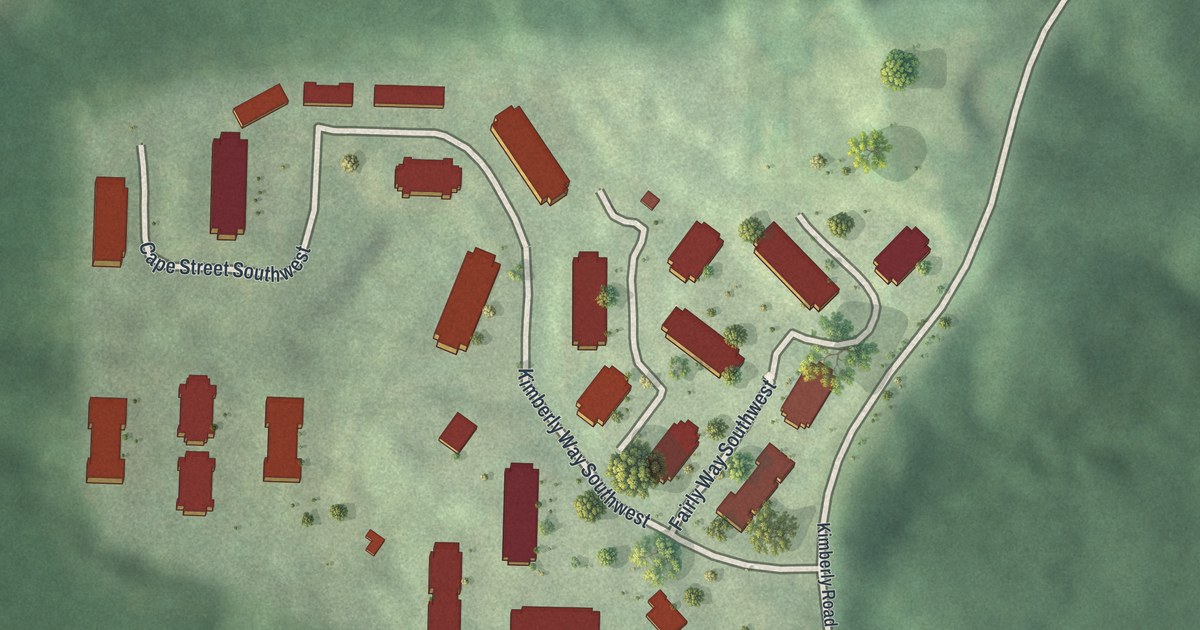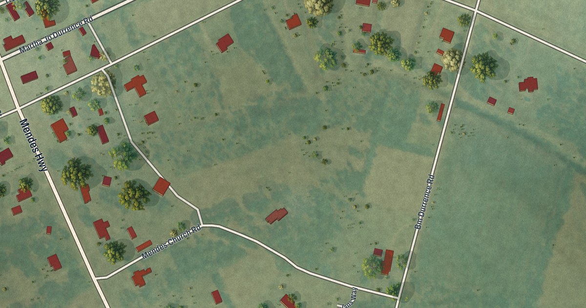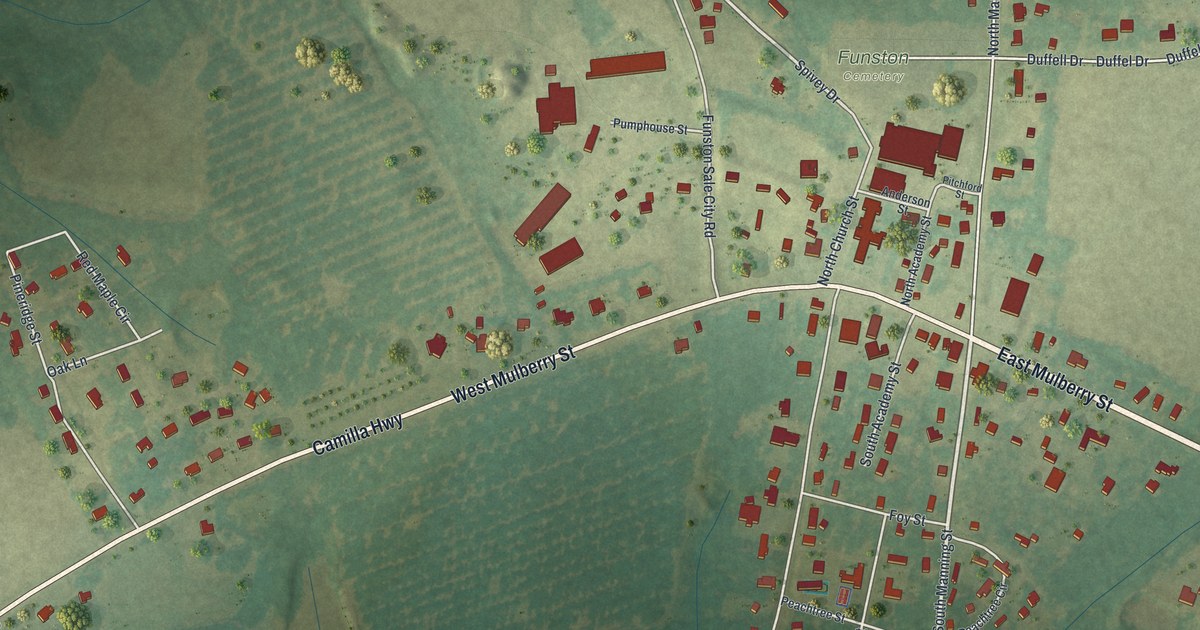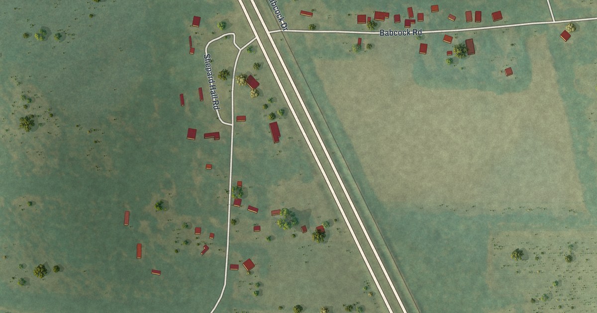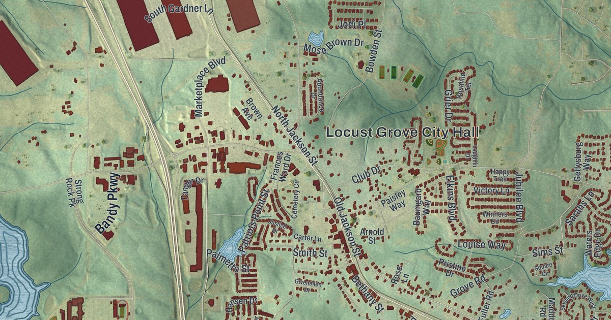
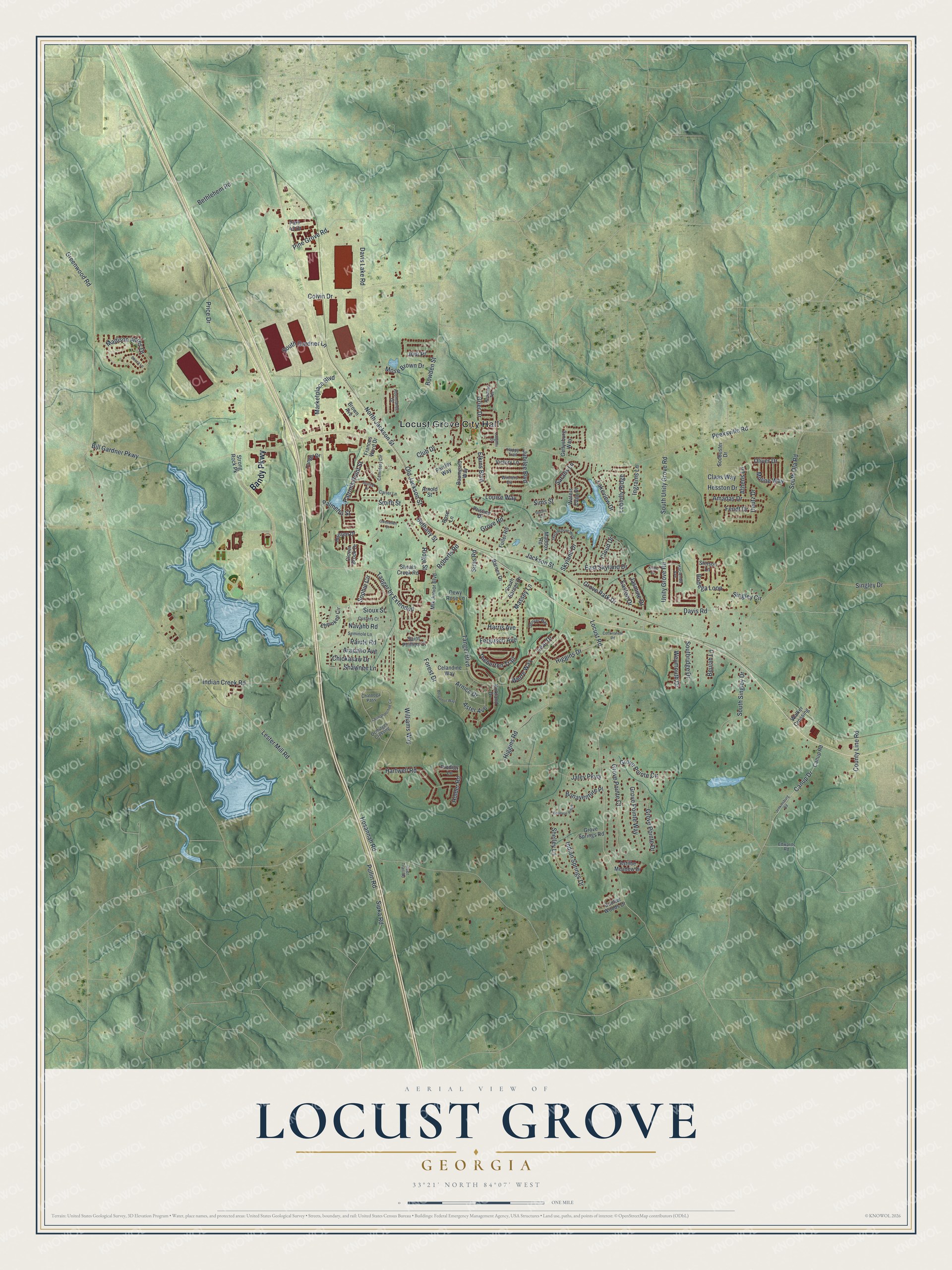
This beautifully detailed map of Locust Grove, Georgia was created in 2026 using aerial imagery combined with modern topographical, census, street and landmark data. It’s a one-of-a-kind view of Locust Grove that combines accurate data with a vintage aesthetic. The map shows every building in its true location, many of the roads carry their names, and the shaded topographic relief shows the shape of the land.
Explore an aerial view of Locust Grove, Georgia
On the map you’ll find Locust Grove City Hall, along with Bandy Parkway, Jackson Street, Old Jackson Street, Roberts Road, and more. If you look closely you can even find your house accurately drawn in its correct location. Zoom in on the preview to look for yours.
Did You Know?
Locust Grove took its name from a stand of locust trees that grew close to the original town site. The Georgia General Assembly incorporated Locust Grove in 1893.
Take a closer look at the Locust Grove map
Names on this map
These names are printed on this map.
Places: Locust Grove City Hall.
Streets and roads: Bandy Parkway, Jackson Street, Old Jackson Street, Roberts Road, Tanger Boulevard, Locust Road, North Jackson Street, Davis Road, Lear Drive, Bethlehem Road, South Unity Grove Road, Lester Mill Road.
More street names, A to Z
Abundance Drive, Amadas Drive, Arapaho Avenue, Arnica Drive, Arnold Street, Aster Avenue, Astilbe Meadow Drive, Athens Lane, Barnes Drive, Baumgard Way, Becca Lane, Bellevue Ridge, Bergamot Way, Bethany Street, Beulah Lane, Bill Gardner Parkway, Bodega Loop, Bonaventure Place, Bowden Street, Brown Avenue, Canup Drive, Canup Road, Carter Lane, Celandine Way, Cemetery Circle, Chatooga Pass, Chattahoochee Circle, Cherokee Circle, Chickasaw Drive, Claas Way, Cloud Drive, Clover Brook Drive, Club Drive, Colvin Drive, Cottonsfield Road, Coulter Woods Drive, County Line Road, Custers Court, Davis Lake Road, Deer Trail Road, Denver Way, Deutz Drive, Dewy Rose Lane, Easton Drive, East Skyland Drive, Edwards Road, Elkins Boulevard, Fendt Drive, Ferguson Avenue, Forest Drive, Frances Word Drive, Fuller Road, Gettysburg Way, Greenwood Road, Grier Drive, Grove Park Drive, Grove Pointe Circle, Grove Pointe Court, Grove Pointe Drive, Grove Pointe Way, Grove Road, Grove Springs Road, Gwenellen Drive, Hacienda Avenue, Hansen Drive, Happy Trail, Harris Avenue, Hartwell Road, Hesston Drive, Higgins Drive, Higgins Road, Holder Road, Hosannah Road, Indian Creek Road, Indian Springs Drive, Ingrams Lane, Jaley Parkway, Jasmine Drive, Jenkinsburg Road, Jodi Place, Jubilee Boulevard, Justice Drive, Kings Cv, Kirkland Drive, Lakeview Drive, Laughlin Drive, Loblolly Ridge, Louise Way, Maddox Road, Madison Acres Drive, Marketplace Boulevard, Massey Lane, Mlk Junior Boulevard, Moline Way, Mose Brown Drive, Navaho Road, Ocmulgee Crossing, Oliver Drive, Paisley Way, Paiute Road, Palmetto Street, Park 42 Drive, Patriots Point Street, Peeksville Road, Pine Grove Road, Price Drive, Pristine Drive, Prodigy Lane, Pullin Road, Ridge Street, Rosalind Terrace, Rose Lane, Saint Phillips Court, Sarahs Lane, Seminole Lane, Shawnee Lane, Shelley Lane, Shoals Creek Road, Sims Road, Sims Street, Singley Circle, Singley Drive, Sioux Street, Sipka Road, Skyland Drive, Skyland Drive West, Smith Street, Sodbuster Drive, Sophie Circle, South Barnes Drive, South Gardner Lane, South Ola Road, Southridge Drive, South Singley Drive, Square Circle, Stinson Lane, Strong Rock Pk, Tanger by Extended, Tanger Drive, Theberton Trail, Unity Grove Road, Victory Lane, Walker Crossing, Waters Edge Drive, Werre Way, Weymouth Drive, Williams Way, Winners Circle.
See it on a wall
The Locust Grove map as a framed print. Swipe for more.


This beautifully detailed map of Locust Grove makes an attractive addition to your office, library, or den, and it can even be used to teach children the geography and history of the area. It also makes a great gift for anyone who grew up in Locust Grove or moved away. When you’re done exploring, click here to get your copy of the Locust Grove map.