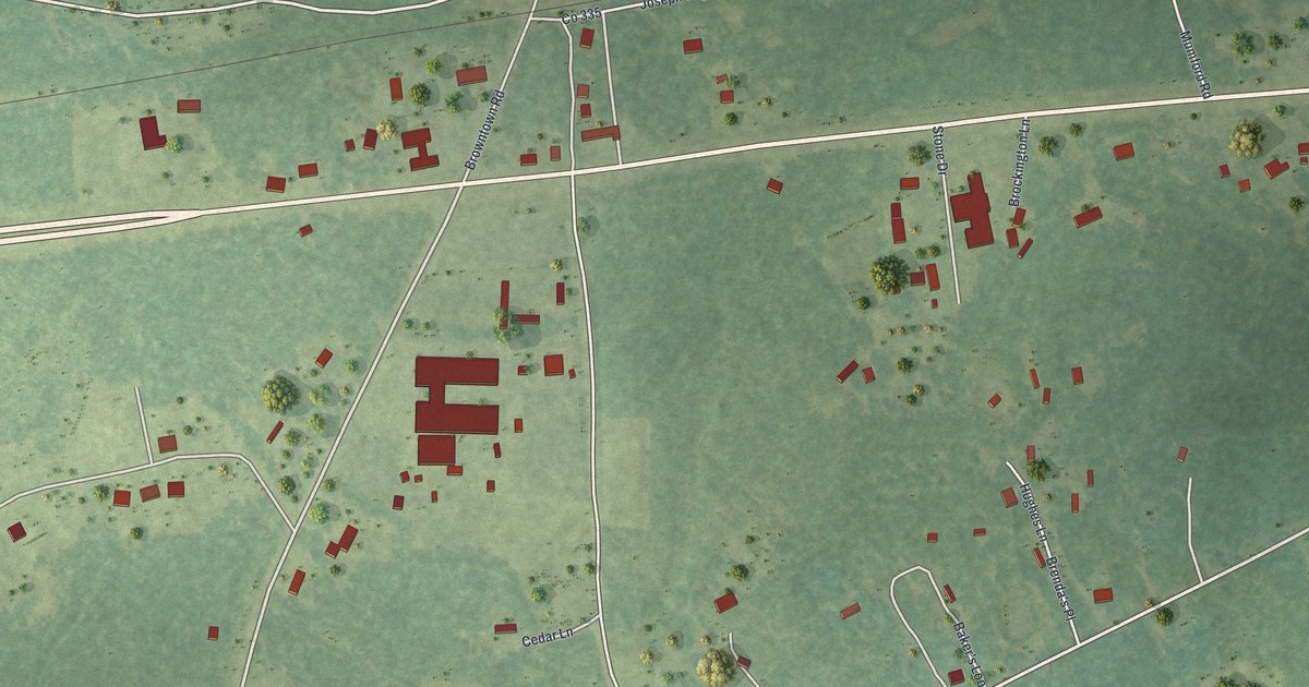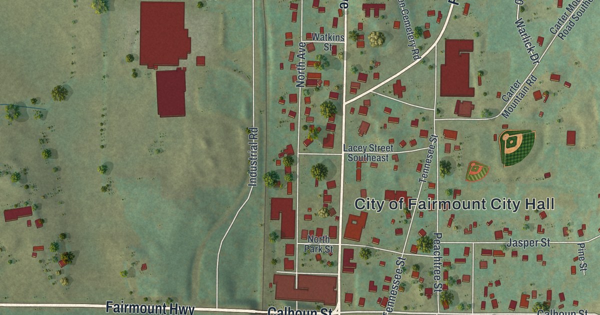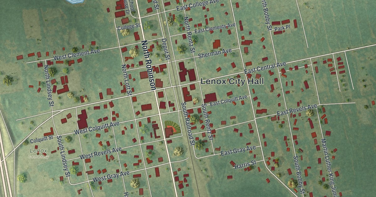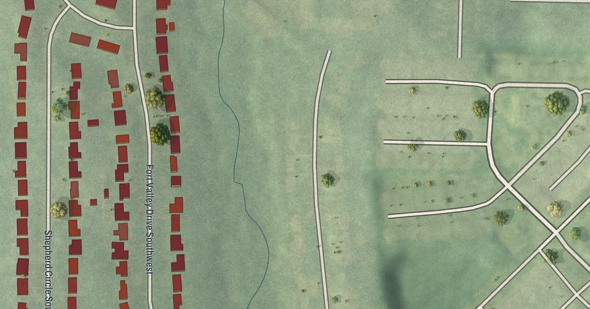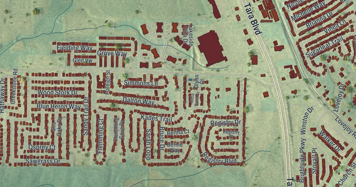
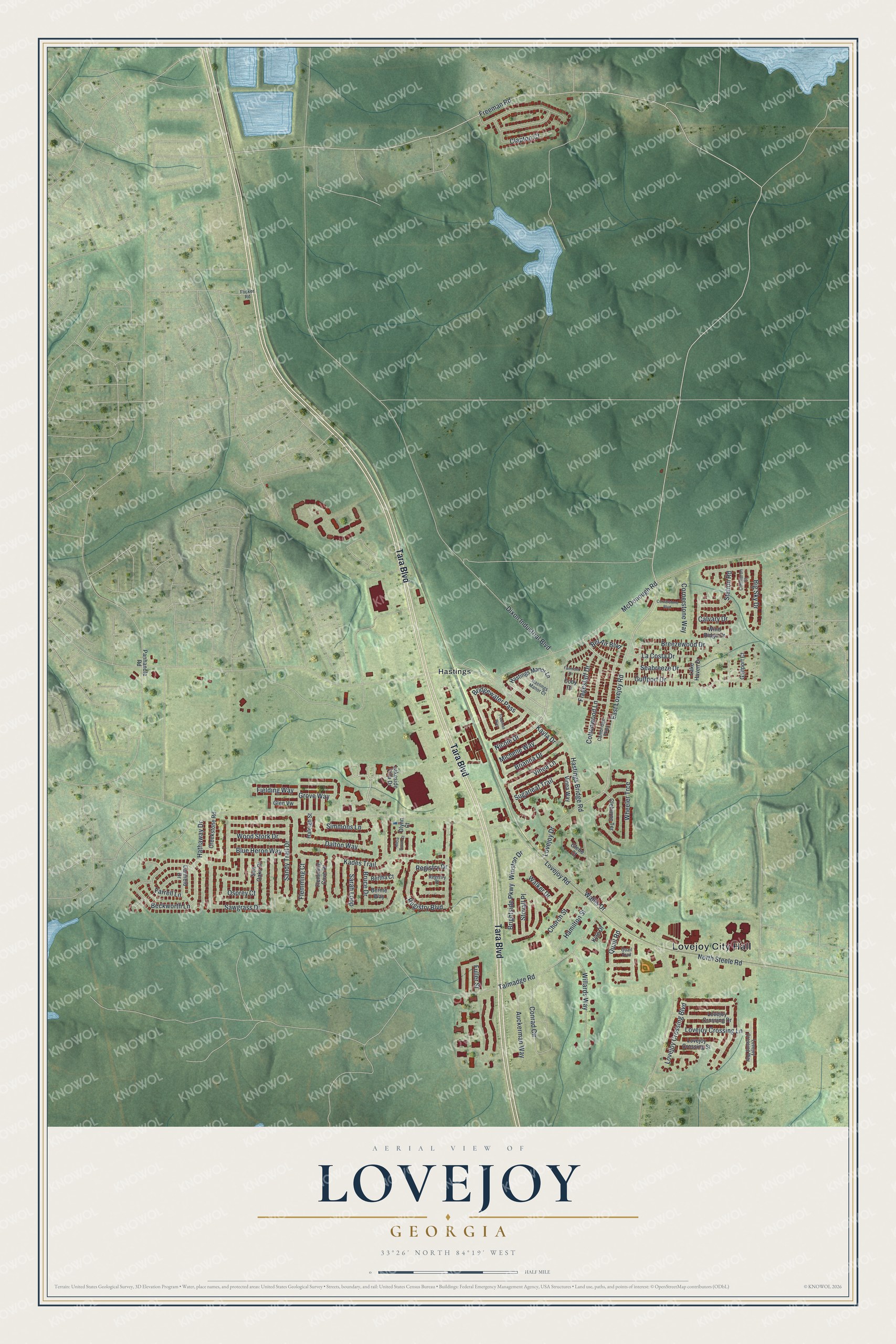
This beautifully detailed map of Lovejoy, Georgia was created in 2026 using aerial imagery combined with modern topographical, census, street and landmark data. It’s a one-of-a-kind view of Lovejoy that combines accurate data with a vintage aesthetic. The map shows every building in its true location, many of the roads carry their names, and the shaded topographic relief shows the shape of the land.
Explore an aerial view of Lovejoy, Georgia
On the map you’ll find Lovejoy City Hall and Hastings, along with Tara Boulevard, Cottonwood Lane, Nicole Drive, Bel Air Boulevard, and more. If you look closely you can even find your house accurately drawn in its correct location. Zoom in on the preview to look for yours.
Did You Know?
Around 1850 the new railway from Atlanta to Macon came through here. Its stop took the name of James Lankford Lovejoy, a wealthy local planter. In 1979, former Georgia first lady Betty Talmadge bought what was left of the Tara movie set from Gone With the Wind. She brought the pieces to Lovejoy.
Take a closer look at the Lovejoy map
Names on this map
These names are printed on this map.
Places: Lovejoy City Hall and Hastings.
Streets and roads: Tara Boulevard, Cottonwood Lane, Nicole Drive, Bel Air Boulevard, Freeman Road, East Lovejoy Road, Lovejoy Road, McDonough Road, Hastings Bridge Road, Sawgrass Drive, Registry Boulevard, Talmadge Road.
More street names, A to Z
Alicia South Court, Auckerman Way, Beckworth Lane, Bernie Way, Bertha Court, Big Sky Drive, Blue Heron Way, Breezewood Drive, Brianna Drive, Bridgewater Pass, Brightside Parkway, Bruce Drive, Calvary Drive, Cambridge Parkway, Canfield Drive, Church Street, Cimmaron Court, Clapton Court, Cleburne Terrace, Cody Drive, Conrad Circle, Cornerstone Boulevard, Cornerstone Way, Creekstone Road, Dalton Way, Dixon Industrial Boulevard, Dlynn Court, Fairmont Drive, Farrell Lane, Fielding Way, Flagestaff Drive, Flemming Court, Flemming Cove Drive, Flicker Road, Freeman Way, Fuller Street, Glebe Court, Glen Vw, Grove Way, Gulfport Court, Gulfport Drive, Haleigh Street, Hamilton Street, Hastings Manor Court, Hastings Manor Lane, Hathaway Drive, Kades Trail, Kayla Drive, Kyle Drive, La Costa Drive, Lake Haven Drive, Lakeside Villa Drive, Lovejoy Crossing Boulevard, Lovejoy Crossing Drive, Lovejoy Crossing Lane, Lovejoy Crossing Street, Lovejoy Crossing Way, Lovejoy Drive, Michelle Way, North Steele Road, Osprey Court, Panhandle Road, Quail Road, Quail Trail, Registry Drive, Registry Place, Sandy Trail Drive, Sarah Loop, Seabreeze Drive, Sea Oaks Drive, Simmons Lane, Station Road, Stovall Place, Sugarleaf Trail, Vinea Lane, Vinea Way, Walker Drive, Wallis Drive, Wheeler Trce, Willards Way, Wind Ridge Drive, Winston Drive, Wood Stork Drive.
See it on a wall
The Lovejoy map as a framed print. Swipe for more.


This beautifully detailed map of Lovejoy makes an attractive addition to your office, library, or den, and it can even be used to teach children the geography and history of the area. It also makes a great gift for anyone who grew up in Lovejoy or moved away. When you’re done exploring, click here to get your copy of the Lovejoy map.