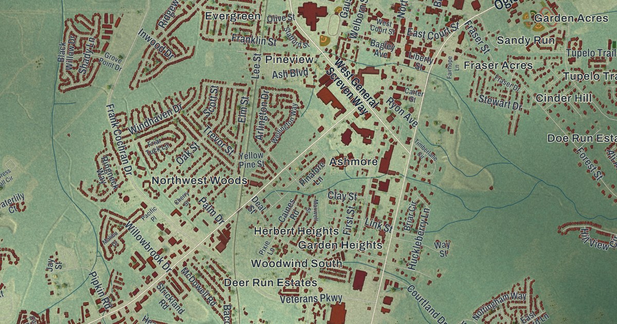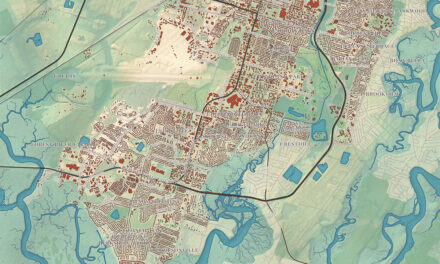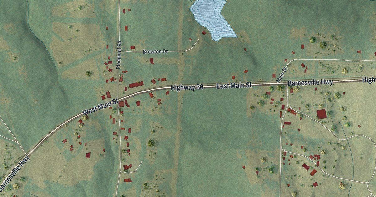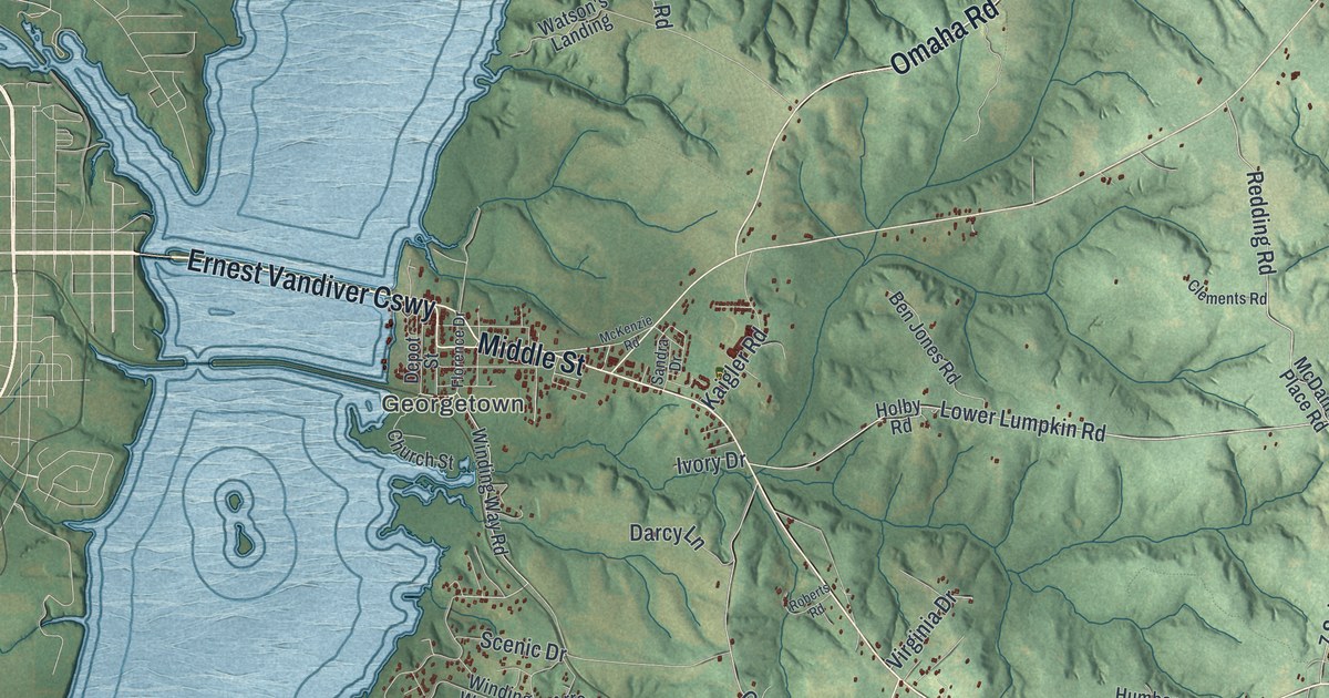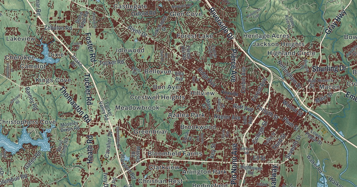
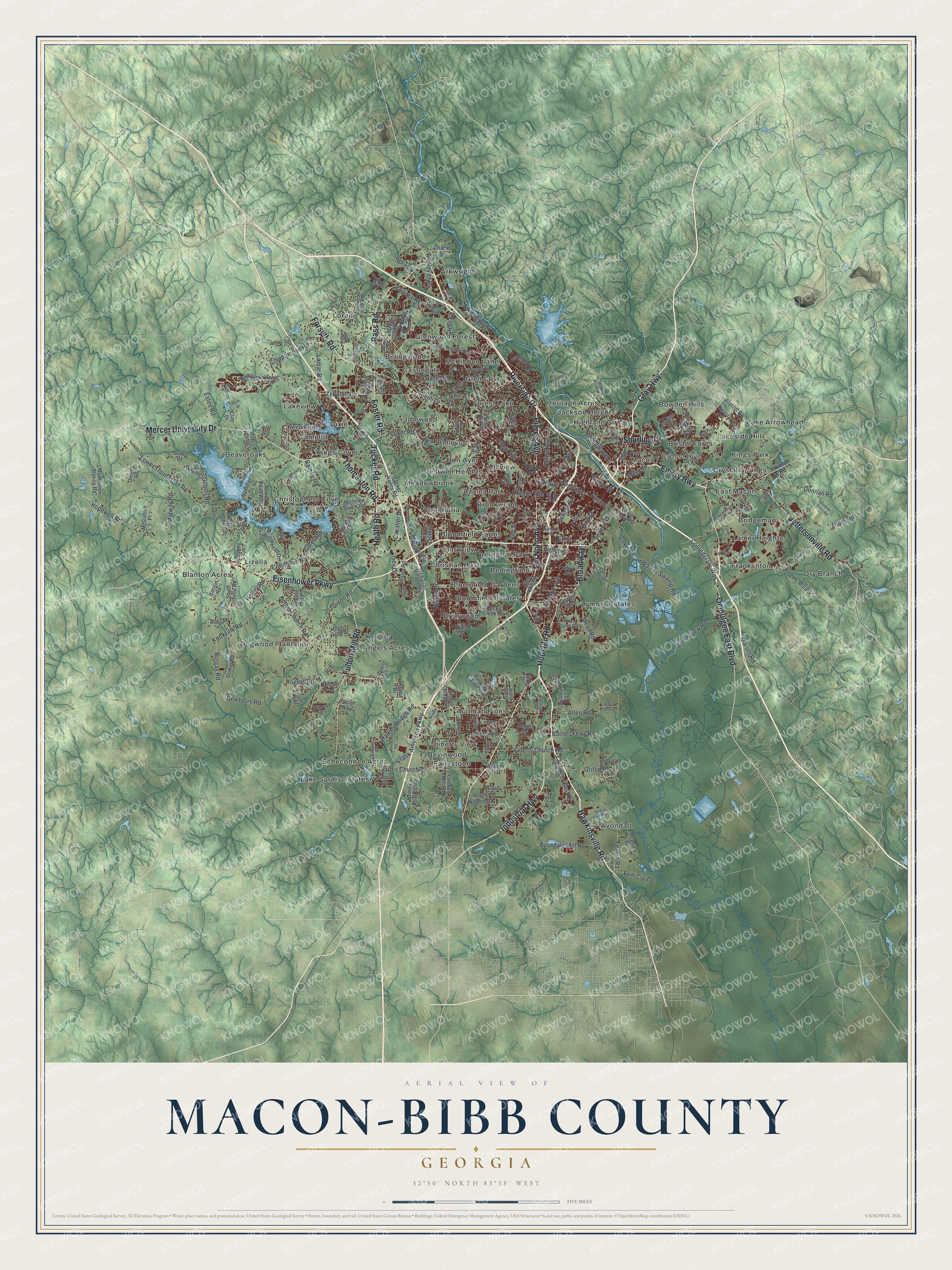
This beautifully detailed map of Macon-Bibb County, Georgia was created in 2026 using aerial imagery combined with modern topographical, census, street and landmark data. It’s a one-of-a-kind view of Macon-Bibb County that combines accurate data with a vintage aesthetic. The map shows every building in its true location, many of the roads carry their names, and the shaded topographic relief shows the shape of the land.
Explore an aerial view of Macon-Bibb County, Georgia
On the map you’ll find Angels Acres, Arkwright, Arlington Park, Aultman Pines, and Avondale, along with Pio Nono Avenue, Gray Highway, Industrial Highway, Pierce Avenue, Eisenhower Parkway, and more. If you look closely you can even find your house accurately drawn in its correct location. Zoom in on the preview to look for yours.
Did You Know?
Macon grew up around Fort Hawkins, built in 1809 on the Ocmulgee River. As settlers arrived, the spot was called Newtown. In 1823 it was chartered as the Bibb County seat and named for Nathaniel Macon, a North Carolina statesman. Many early Georgians had come from that state.
Take a closer look at the Macon-Bibb County map
Names on this map
These names are printed on this map.
Places: Angels Acres, Arkwright, Arlington Park, Aultman Pines, Avondale, Azalea Park, Beaveroaks, Bedingfield, Bellevue, Bevinwood, Billingwood, Blanton Acres, Bloomfield Estates, Bloomfield Farms, Bloomfield Gardens, Bon Ayer, Bowden Hills, Briarwood, Bridgeman, Bristol Forest, Brookwood, Camelot, Castlegate, Cherokee, Christian Rest, Christophers Cove, Clarkview, Crestwell Heights, Cross Keys, Crystal Springs, Dixie, Dogwood Plantation, Dry Branch, East Macon, Echeconnee Acres, Fairystone, Forest Lake, Franklinton, Glen Cove, Glenwood Forest, Greenbriar, Heritage Acres, Highland Circle, Hillview, Idlewood, Jackson Heights, Kings Cove, Kings Park, Lake Arrowhead, Lake Sardis Estates, Lakeside Hill, Lakeview, Lanier Heights, Liberty View, Lizella, Lorane, Lymore Estates, Macon, McKibben Lane and Meadowbrook.
Streets and roads: Pio Nono Avenue, Gray Highway, Industrial Highway, Pierce Avenue, Eisenhower Parkway, Hawkinsville Road, Mercer University Drive, Riverside Drive, Thomaston Road, Ocmulgee East Boulevard, Houston Road, Forsyth Road.
More street names, A to Z
Airport East Parkway, Alandale Drive, Allen Road, Allen Road East, Alpine Drive, Anthony Road, Arkwright Road, Arrowhead Drive, Aspen Drive, Aston Hall, Avondale Mill Road, Ayers Road, Bankston Lake Road, Barfield Road, Barnes Ferry Road, Barrington Hall Drive, Bartlett Street, Bass Road, Beaver Oaks Drive, Bethel Church Road, Bondsview Road, Bonner Gilbert Road, Bowman Boulevard, Bowman Road, Briarcliff Road, Britt Road, Broadway, Burgay Road, Burton Avenue, Byars Drive, Calvin Drive, Captain Kell Drive, Cavalier Drive, Charles Drive, Clairmont Place, Clay Drive, Cochran Field Road, Colaparchee Road, College Street, Columbus Road, Colvin Place, Confederate Way, Corbin Avenue, Craddock Way, David Drive, Davis Road, Deer Run Drive, Dennis Road, Dixon Road, Donnan Davis Road, Donnan Road, Doris Drive, Dove Court, East Drive, Edna Place, Ek Boulevard, Elkan Avenue, Ellis Way, Ell Street, Emery Highway, Erick Drive, Estes Road, Fairmont Drive, Falcon Way, Farm Road, Feagin Road, Forest Avenue, Forest Hill Road, Forsyth Street, Foster Road, Fran Drive, Frank Amerson Parkway, Franklinton Road, Fulton Mill Road, Gates Road, Gaultney Road, Glen Holly Drive, Goodall Mill Road, Griffin Road, Guy Paine Road, Hall Road, Hall Street, Hamlin Road, Harold Road, Harrison Road, Hartley Bridge Road, Hawaiian Village Drive, Heard Avenue, Heath Road, Herbert Smart Airport Road, Hidden Creek Circle, Hightower Road, Holley Road, Holt Avenue, Hopewell Road, Houston Avenue, Hunnicutt Road, Interstate Drive, Irwinton Road, Ivey Drive, Janeru Circle, Jeffersonville Road, Johnson Road, Jones Road, Joycliff Road, Kentucky Downs Drive, Kevin Drive, Key Street, Knoxville Road, Lake Street, Lamar Road, Liberty Church Road, Linstead Drive, Lokchapee Drive, Lower Poplar Street, Lower Thomaston Road, Lyn Drive, Main Street, Margaret Court, Marion Avenue, Marion Road, Marjane Drive, Mary Drive, Massey Road, Masters Drive, McArrell Drive, McCallum Place, Mead Road, Michael Drive, Midway Road, Millerfield Road, Mitchell Street, Montpelier Station Road, Moseley Dixon Road, Napier Avenue, Natchez Trce, Newberry Road, New Clinton Road, Newport Road, Nisbet Drive, North Bay Drive, North Lizella Road, Northside Drive, Nottingham Drive, Nowell Road South, Nowell Road West, Old Club Road, Oxford Road, Oxley Road, Pamela Court, Pansy Avenue, Peake Road, Plaudit Road, Plum Street, Providence Boulevard, Rainey Road, Raley Road, Regina Drive, Rice Mill Road, Ridge Avenue, Riggins Mill Road, Riverbend Trail, Rivoli Drive, Rocky Creek Road, Roff Avenue, Rogers Road, Saddle Run Court, Saint Clara Drive, Sanjo Drive, Sardis Church Road, Saxony Drive, School Road, Scott Drive, Scout Camp Road, Seventh Street, Sheraton Drive, Shurling Drive, Skipper Road, Skipperton Road, Sofkee Circle, Southfork Drive, South Lizella Road, South Walden Road, Spires Drive, Spr 19, Stokes Road, Stone Edge Road, Taylor Road, Tech Drive, Telfair Street, Tharpe Drive, Third Street, Timber Ridge Drive, Tinker Drive, To Rydc, Trellis Walk, Tucker Road, Tucker Valley Road, Tuft Springs Road, Upper River Road, Villa Avenue, Vineville Avenue, Walden Road, Walker Road, Walker Swamp Road, Walnut Street, Warwick Drive, Weaver Road, Wesleyan Drive, Wood Oak Drive, Zebulon Road.
See it on a wall
The Macon-Bibb County map as a framed print. Swipe for more.


This beautifully detailed map of Macon-Bibb County makes an attractive addition to your office, library, or den, and it can even be used to teach children the geography and history of the area. It also makes a great gift for anyone who grew up in Macon-Bibb County or moved away. When you’re done exploring, click here to get your copy of the Macon-Bibb County map.