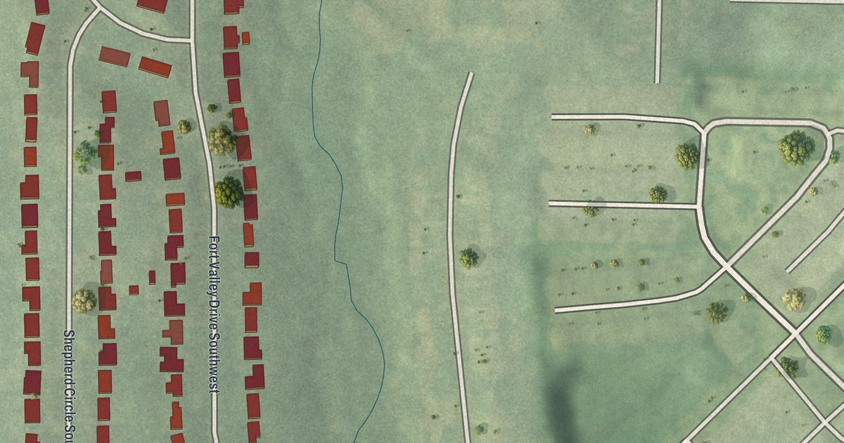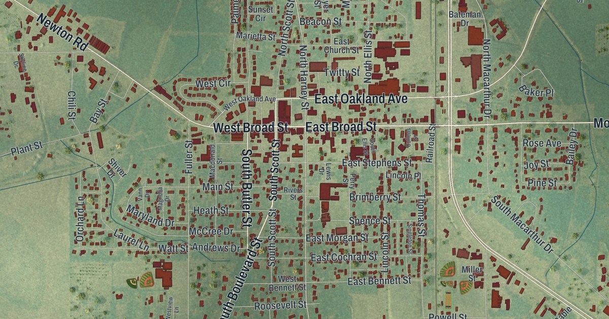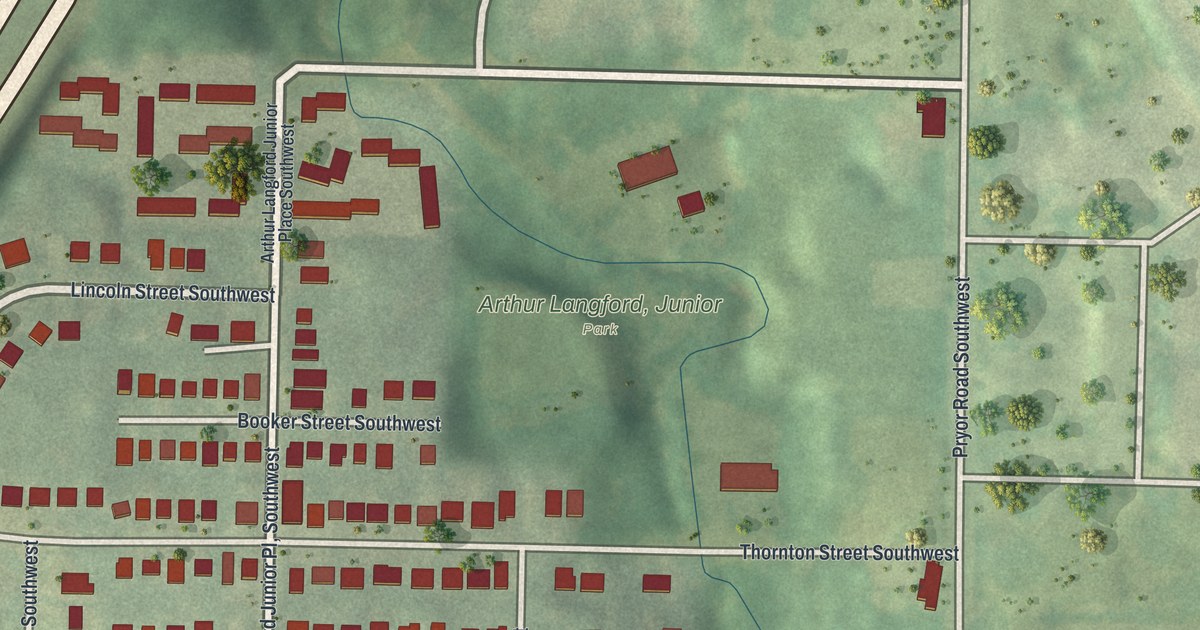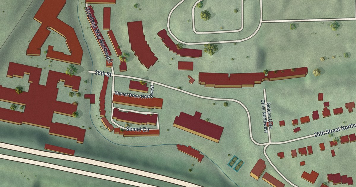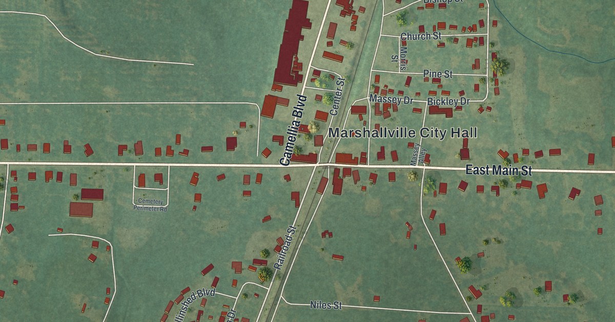
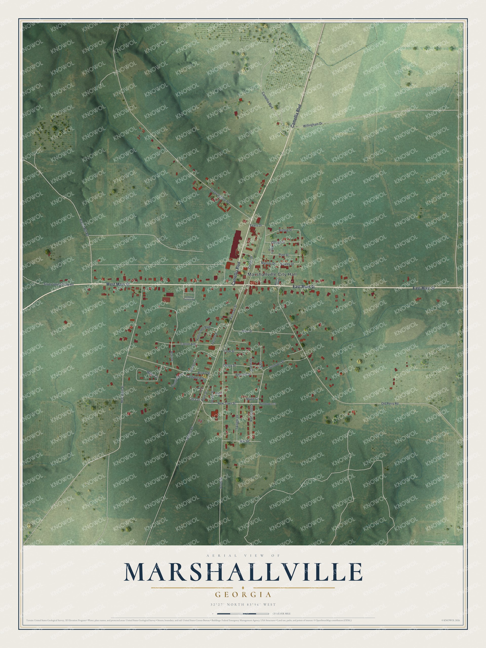
This beautifully detailed map of Marshallville, Georgia was created in 2026 using aerial imagery combined with modern topographical, census, street and landmark data. It’s a one-of-a-kind view of Marshallville that combines accurate data with a vintage aesthetic. The map shows every building in its true location, many of the roads carry their names, and the shaded topographic relief shows the shape of the land.
Explore an aerial view of Marshallville, Georgia
On the map you’ll find Marshallville City Hall, along with Main Street, Camellia Boulevard, New Town Street, Sundown Street, and more. If you look closely you can even find your house accurately drawn in its correct location. Zoom in on the preview to look for yours.
Did You Know?
Marshallville was settled by descendants of colonists who had come to Orangeburg, South Carolina, in the 1730s. Around 1830, part of that group moved west to this area. They bought thousands of acres and planted peach trees, grapevines and flowering bulbs, especially hyacinths. That’s from the 1940 WPA guide to Georgia.
Take a closer look at the Marshallville map
Names on this map
These names are printed on this map.
Places: Marshallville City Hall.
Streets and roads: East Main Street, West Main Street, Camellia Boulevard, New Town Street, Sundown Street, Railroad Street, Libra Drive, Bickley Drive, Massey Drive, South Street, Old Perry Road, McCaskill Street.
More street names, A to Z
Belmont Street, Bishop Street, Blair Drive, Brown Street, Bryant Hill Road, Caldwell Alley, Cemetery Perimeter Road, Center Street, Cherry Street, Church Street, Cook Street, Cotton Avenue, Dexter Street, Evans Drive, Evergreen Drive, Felton Drive, First Street, Hammond Drive, Hollinshed Boulevard, Lamson Road, Lily Street, Maple Circle, Market Street, Massey Alley, Miller Circle, Morris Street, Niles Street, Pine Street, Plum Street, Robins Circle, Silver Spring Pond Road, Sleepy Hollow Road, Spruce Street, Star Drive, Sundown Court, Twilight Drive, Willingham Drive.
See it on a wall
The Marshallville map as a framed print. Swipe for more.


This beautifully detailed map of Marshallville makes an attractive addition to your office, library, or den, and it can even be used to teach children the geography and history of the area. It also makes a great gift for anyone with Marshallville roots. When you’re done exploring, click here to get your copy of the Marshallville map.