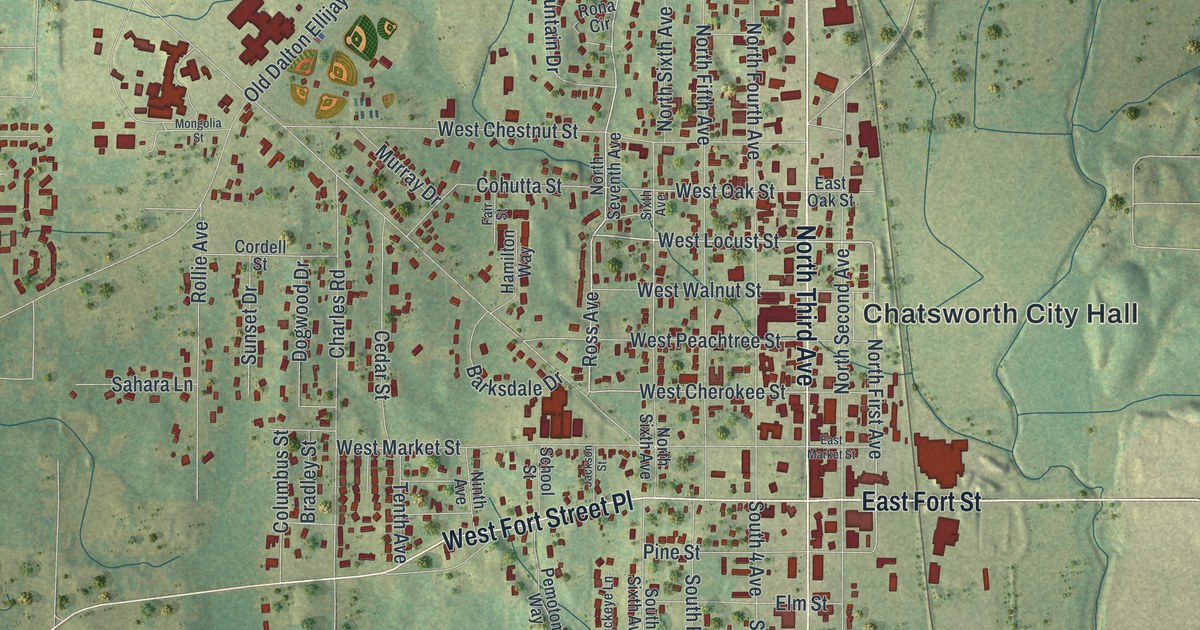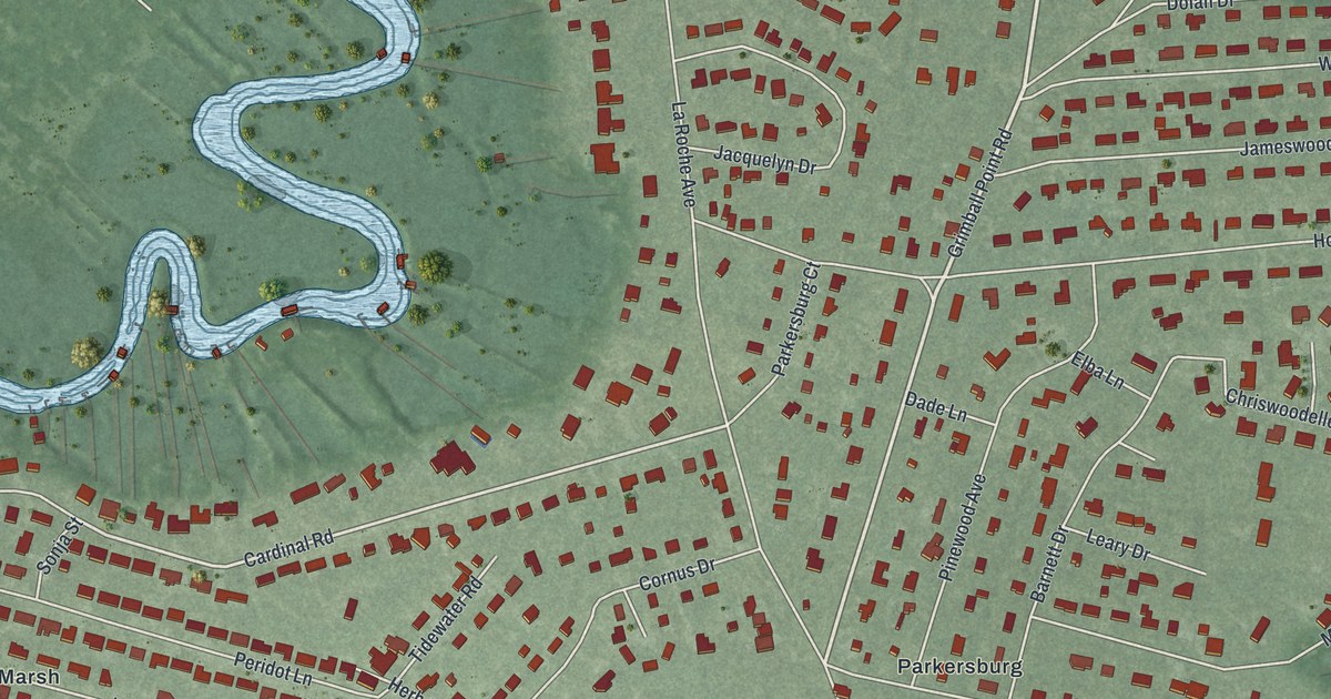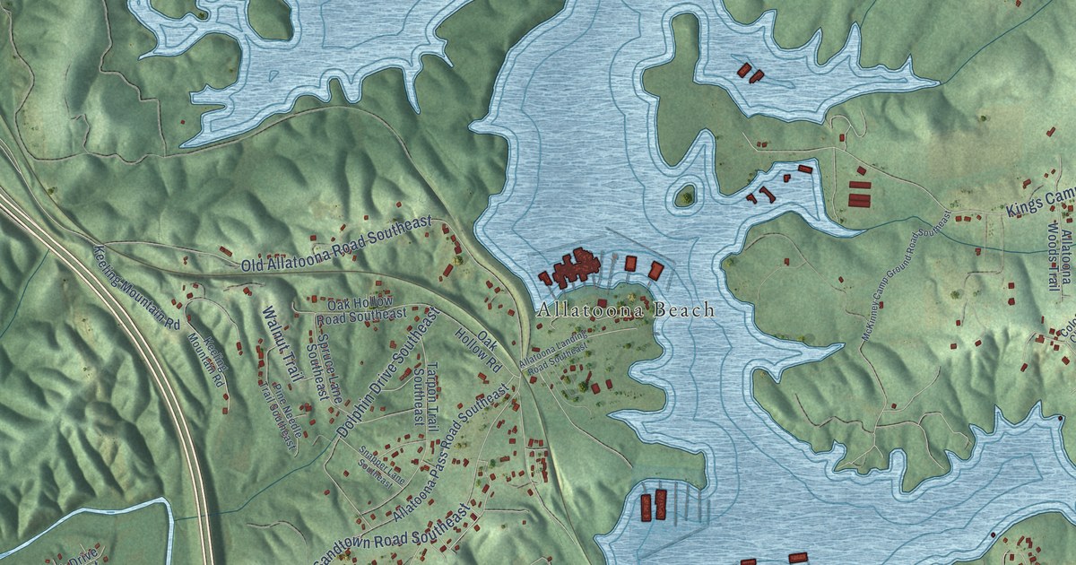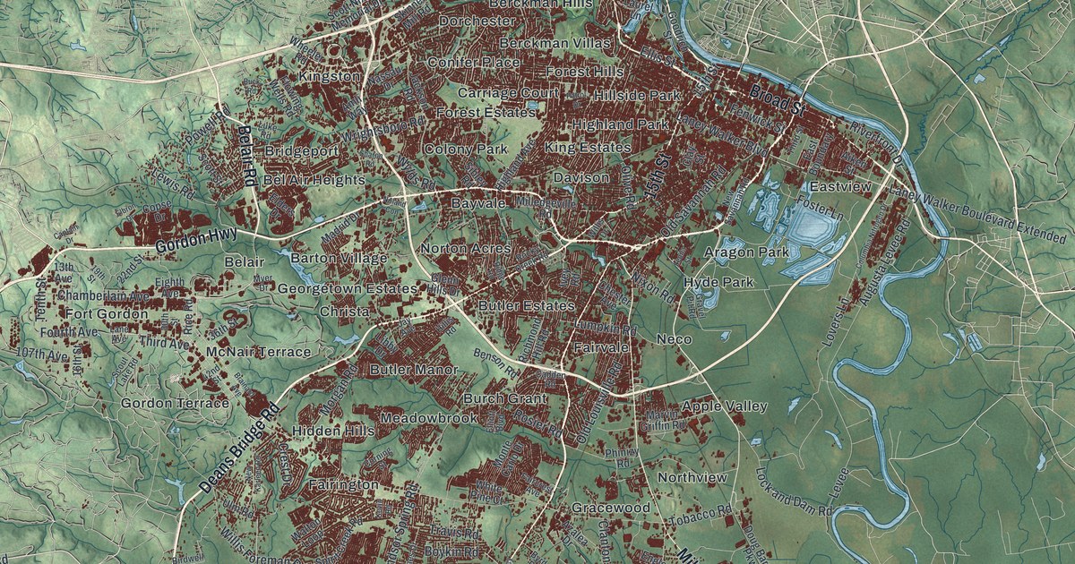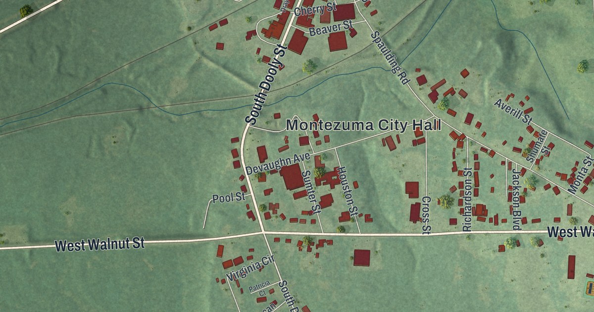
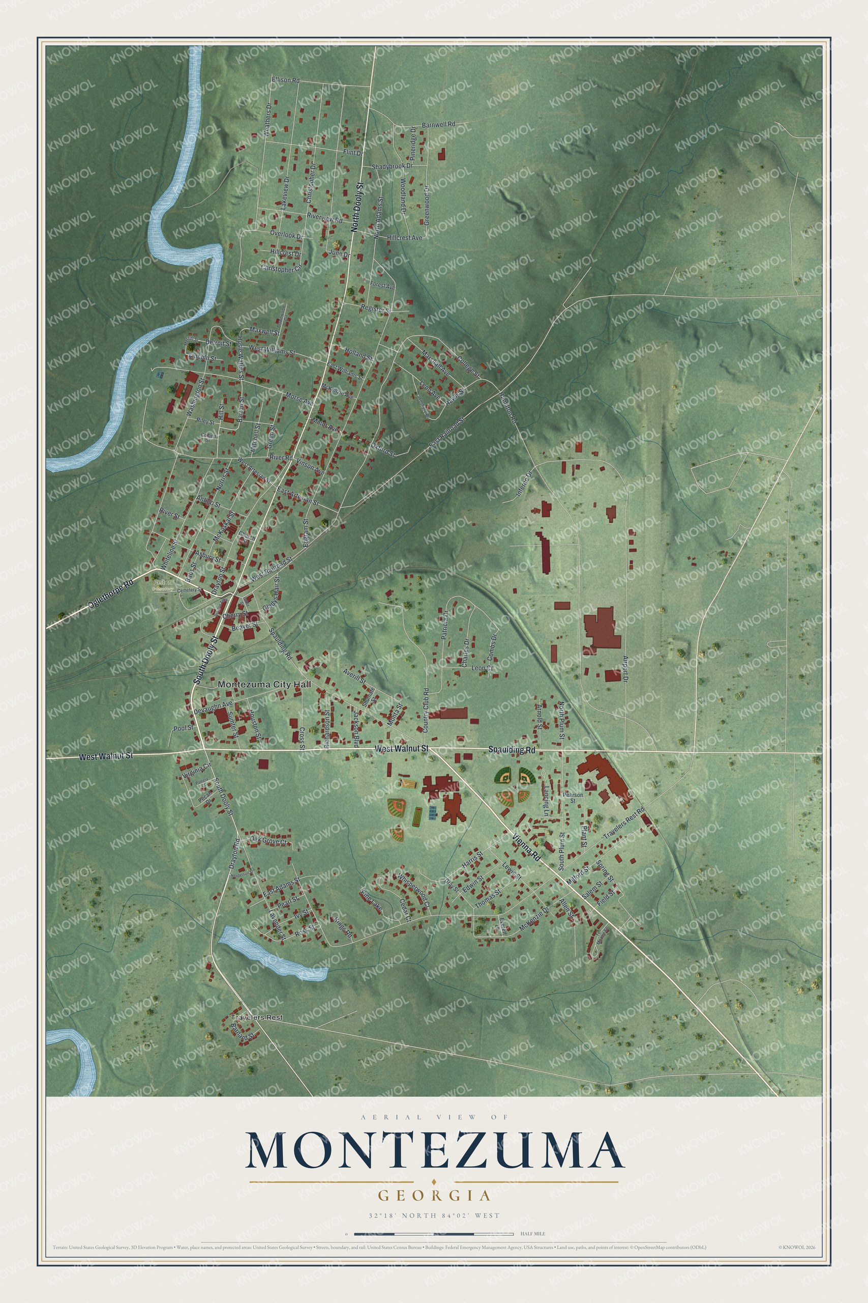
This beautifully detailed map of Montezuma, Georgia was created in 2026 using aerial imagery combined with modern topographical, census, street and landmark data. It’s a one-of-a-kind view of Montezuma that combines accurate data with a vintage aesthetic. The map shows every building in its true location, many of the roads carry their names, and the shaded topographic relief shows the shape of the land.
Explore an aerial view of Montezuma, Georgia
On the map you’ll find Montezuma City Hall, Travelers Rest, and Felton Cemetery, along with Dooly Street, Oglethorpe Road, Vienna Road, Spaulding Road, and more. If you look closely you can even find your house accurately drawn in its correct location. Zoom in on the preview to look for yours.
Did You Know?
Montezuma began in 1851, when railroad tracks arrived. Soldiers coming home from the Mexican American War named it for the famous Aztec leader. The city was incorporated in 1854. In the 1950s, about 10 to 15 Mennonite families moved here from Virginia and founded a lasting community.
Take a closer look at the Montezuma map
Names on this map
These names are printed on this map.
Places: Montezuma City Hall, Felton Cemetery, Travelers Rest and Pine Lake.
Streets and roads: South Dooly Street, Oglethorpe Road, Vienna Road, Spaulding Road, West Walnut Street, North Dooly Street, Drayton Road, East Railroad Street, East Artesian Street, Spring Street, College Street, Barton Street.
More street names, A to Z
Airport Drive, Allen Street, Antigo Street, Arnold Street, Asbury Street, Averill Street, Babs Street, Barnard Street, Barnwell Road, Beaver Street, Cabot Street, Cedar Court, Cemetery Street, Charles Drive, Cherry Street, Christopher Circle, Christopher Drive, Church Street, Colbert Street, Combs Drive, Country Club Road, Cross Street, Detroit Street, Devaughn Avenue, Downwood Circle, Drayton Alley, Drayton Street, East Adams Street, East Williams Street, Edwin Street, Ellison Road, Engram Street, Everett Lane, Field Street, Flint Drive, Forest Avenue, Gladys Hair Street, Gray Street, Green Street, Greenwood Drive, Hamilton Road, Harris Street, Henderson Street, Hillcrest Avenue, Hillcrest Drive, Hill Street, Holland Street, Hosie Waters Street, Houston Street, Inferno Drive, Ivy Street, Jackson Boulevard, June Drive, Kings Road, Lakeshore Drive, Lakeview Drive, Lancing Lane, Lavender Street, Leon Avenue, Leon Court, Lewis Street, Lincoln Street, Marshall Avenue, Maxwell Street, McKaskal Street, McKenzie Avenue, McKenzie Drive, Merritt Street, Milford Street, Minor Avenue, Mitchell Street, Monta Street, Morse Avenue, Norris Street, North Adams Street, North Plum Street, Oak Grove Court, Overlook Drive, Oxford Street, Patricia Court, Patricia Drive, Pearl Street, Pearson Street, Pecan Drive, Pineridge Drive, Plant Street, Pool Street, Rawls Street, Register Street, Richardson Street, Riley Street, River Road, River Street, Riverview Road, Ross Street, Salem Street, Shadybrook Drive, Shumate Street, South Plum Street, Sumter Street, Te Moone Street, Thomas Street, Travelers Rest Road, Vinson Avenue, Virginia Circle, Washington Street, Weathers Drive, West Artesian Street, West Railroad Street, West Williams Street, Whisperwood Court, Whiteline Street, Woodland Drive.
See it on a wall
The Montezuma map as a framed print. Swipe for more.


This beautifully detailed map of Montezuma makes an attractive addition to your office, library, or den, and it can even be used to teach children the geography and history of the area. It also makes a great gift for someone who left Montezuma and still calls it home. When you’re done exploring, click here to get your copy of the Montezuma map.