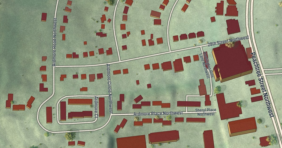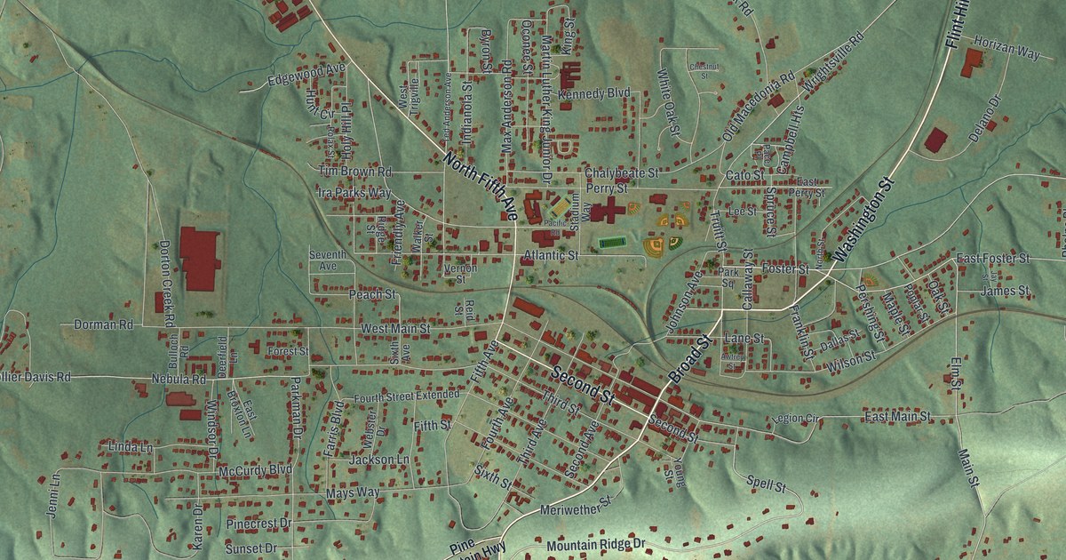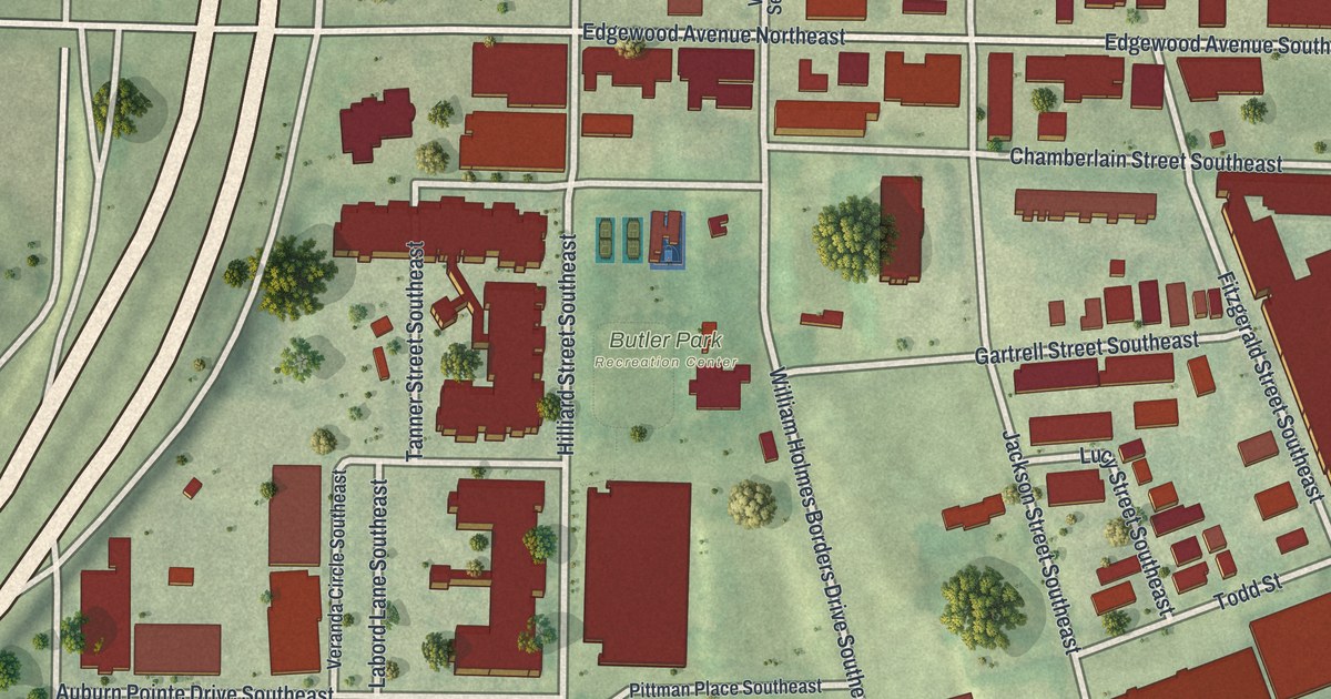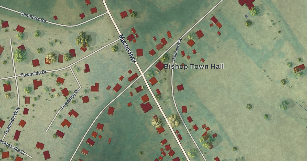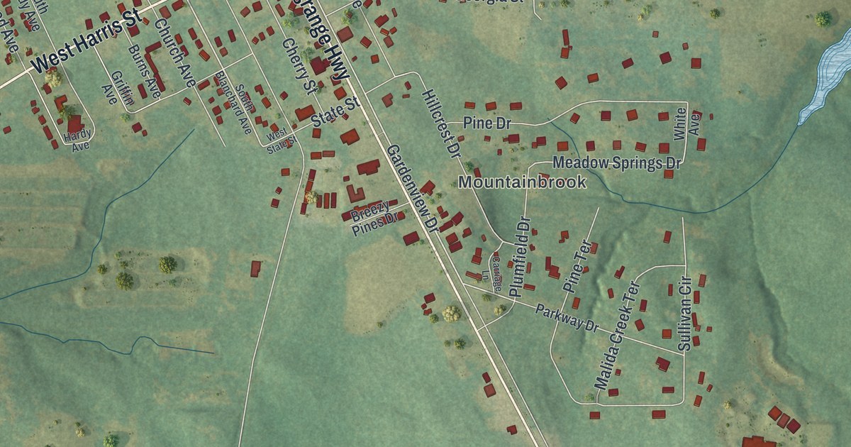
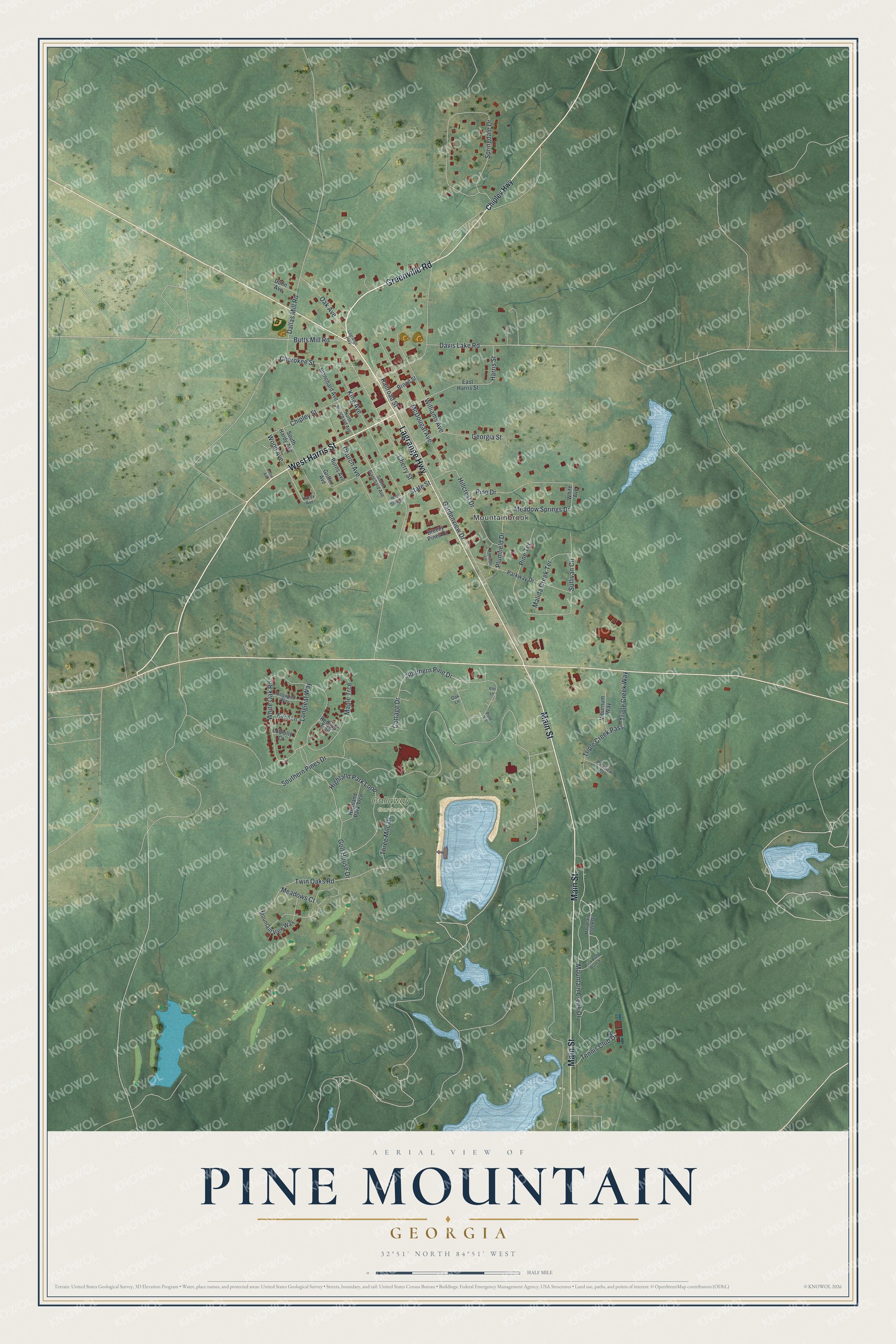
This beautifully detailed map of Pine Mountain, Georgia was created in 2026 using aerial imagery combined with modern topographical, census, street and landmark data. It’s a one-of-a-kind view of Pine Mountain that combines accurate data with a vintage aesthetic. The map shows every building in its true location, many of the roads carry their names, and the shaded topographic relief shows the shape of the land.
Explore an aerial view of Pine Mountain, Georgia
On the map you’ll find Mountainbrook and Callaway Gardens, along with Greenville Road, Lagrange Highway, Main Street, Harris Street, Chipley Highway, and more. If you look closely you can even find your house accurately drawn in its correct location. Zoom in on the preview to look for yours.
Did You Know?
The town began in 1882, when the railroad reached this spot from Columbus. For more than 70 years the community was called Chipley. In 1958 it took the name Pine Mountain because of Callaway Gardens.
Take a closer look at the Pine Mountain map
Names on this map
These names are printed on this map.
Places: Mountainbrook and Callaway Gardens.
Streets and roads: Greenville Road, Lagrange Highway, Main Street, West Harris Street, Gardenview Drive, Butts Mill Road, Cottage Drive, Southern Pine Drive, Meadow Springs Drive, Dallas Mill Road, King Avenue, Chipley Street.
More street names, A to Z
Birch Lane, Blanchard Avenue, Breezy Pines Drive, Broad Street, Burns Avenue, Carriage Lane, Cherokee Street, Cherry Street, Chipley Highway, Church Avenue, Davis Lake Road, Dogwood Way, Duck Pond Branch, Dunn Avenue, East Harris Street, Elm Lane, Georgia Street, Golf House Drive, Griffin Avenue, Hardy Avenue, Harris Street, Highland Park Loop, Highland Park Trce, Hillcrest Drive, Lettie Avenue, Loblolly Court, Longleaf Way, Malida Creek Terrace, Maple Trce, McDougal Avenue, Meadows Court, Moubtain Creek Drive, Mountain Creek Drive, Mountain View Way, North Blanchard Avenue, Oak Avenue, Oak Lane, Parkview Court, Parkway Drive, Pine Drive, Pine Lane, Pine Terrace, Plumfield Drive, Railroad Street, Redbud Trail, South Blanchard Avenue, Southern Pines Drive, South Hardy Avenue, Springdale Drive, State Street, Sullivan Circle, Tennis Club Drive, Three Mile Drive, Triple Creek Pass, Triple Creek Way, Twin Oaks Road, Viburnum Way, West State Street, White Avenue, White Oak Road, Williams Avenue, Wood Avenue.
See it on a wall
The Pine Mountain map as a framed print. Swipe for more.


This beautifully detailed map of Pine Mountain makes an attractive addition to your office, library, or den, and it can even be used to teach children the geography and history of the area. It also makes a great gift for anyone who grew up in Pine Mountain or moved away. When you’re done exploring, click here to get your copy of the Pine Mountain map.