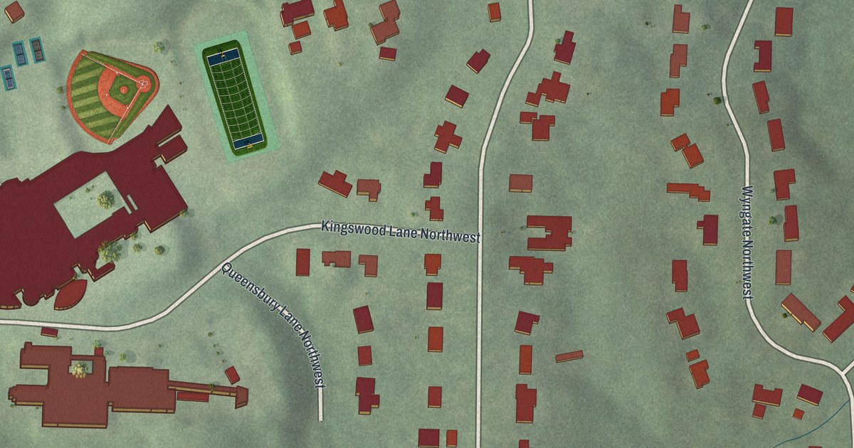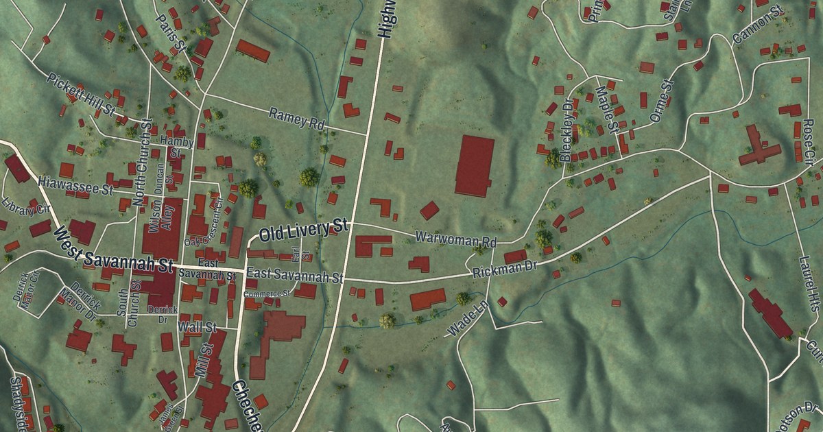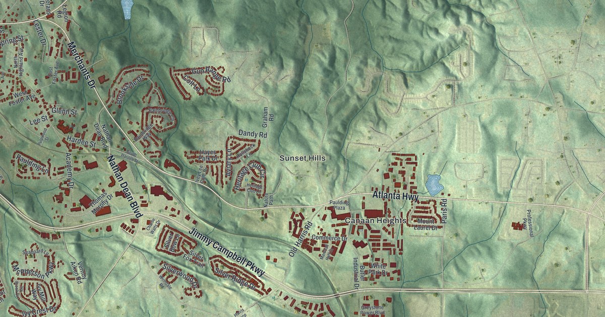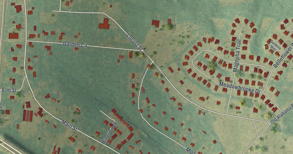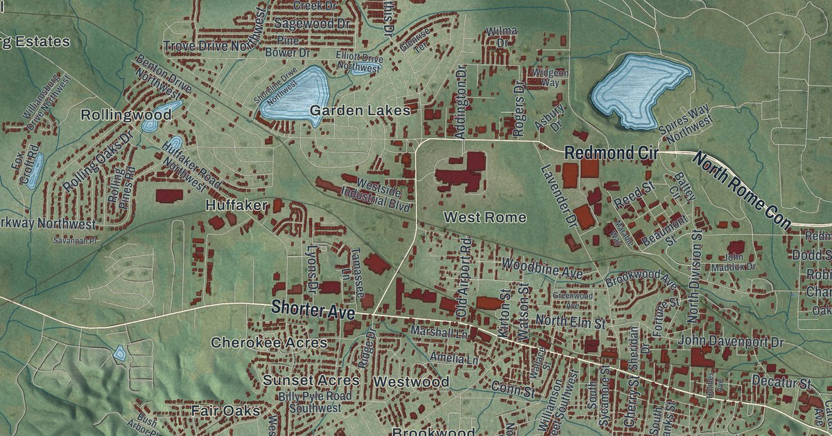
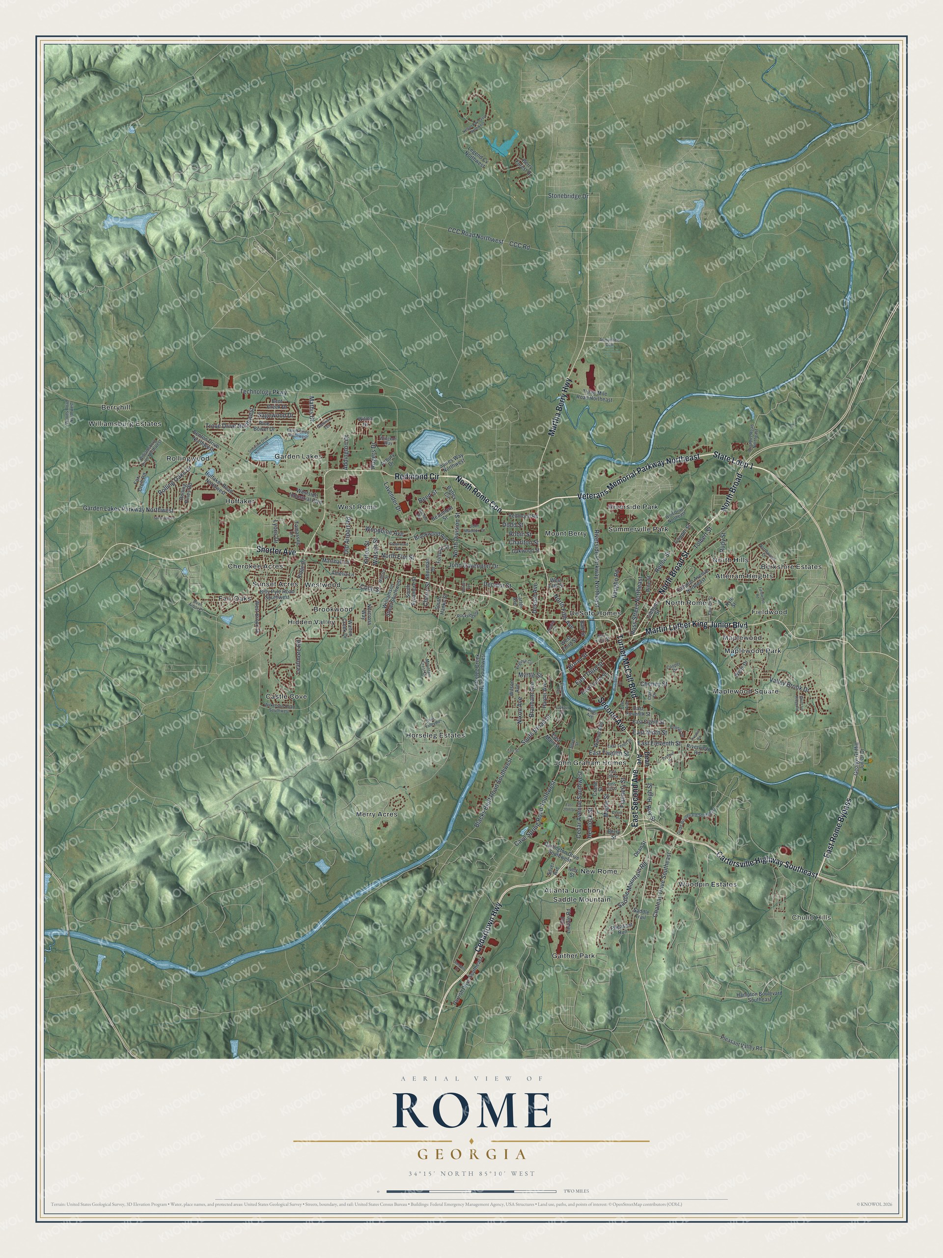
This beautifully detailed map of Rome, Georgia was created in 2026 using aerial imagery combined with modern topographical, census, street and landmark data. It’s a one-of-a-kind view of Rome that combines accurate data with a vintage aesthetic. The map shows every building in its true location, many of the roads carry their names, and the shaded topographic relief shows the shape of the land.
Explore an aerial view of Rome, Georgia
On the map you’ll find North Rome Con, Chulio Hills, Atlanta Junction, Atteiram Heights, Berryhill, and Brookwood, along with Shorter Avenue, Turner McCall Boulevard, Second Avenue, Martin Luther King Junior Boulevard, and more. If you look closely you can even find your house accurately drawn in its correct location. Zoom in on the preview to look for yours.
Did You Know?
Rome was founded in 1834 by five men, most of them War of 1812 veterans. They drew names at Alhambra to choose what to call the new city. Col. Daniel R. Mitchell’s pick, Rome, won the draw. He chose it because the area’s hills and rivers recalled the Italian city.
Take a closer look at the Rome map
Names on this map
These names are printed on this map.
Places: Chulio Hills, Atlanta Junction, Atteiram Heights, Berkshire Estates, Berryhill, Brookwood, Castle Cove, Cherokee Acres, DeSoto Homes, Fair Oaks, Fieldwood, Gaither Park, Garden Lakes, Hidden Valley, Horseleg Estates, Huffaker, John Graham Homes, Maplewood, Maplewood Park, Maplewood Square, Merry Acres, Mount Berry, New Rome, North Hills, North Rome, Riverside Park, Rollingwood, Saddle Mountain, Summerville Park, Sunset Acres, West Rome, Westwood, Williamsburg Estates and Woodpin Estates.
Streets and roads: Shorter Avenue, Turner McCall Boulevard, East Second Avenue, Second Avenue, North Rome Con, Martin Luther King Junior Boulevard, Veterans Memorial Parkway Northeast, North Broad Street, State Loop 1, Cedartown Highway, Cartersville Highway Southeast, Redmond Circle.
More street names, A to Z
Addington Drive, Amelia Lane, Armuchee Con, Asbury Drive, Bale Street, Battey Circle, Beaumont Street, Bent Creek Drive, Benton Drive Northwest, Berry Forest Drive, Berry Street, Billy Pyle Road Southwest, Blacks Bluff Road Southwest, Branham Avenue, Broad Street, Broadus Road Northeast, Brookwood Avenue, Bush Arbor Place, Calhoun Avenue Northeast, Carter Avenue, Cave Spring Road Southwest, CCC Road, CCC Road Northwest, Cedar Avenue Southwest, Charlton Street, Chateau Drive Southeast, Cheney Street, Cherry Street, Church Street, Clark Drive, Clover Street, Conn Street, Cooper Drive, Couper Street, Crane Street, Darlington Drive Southwest, Dean Avenue, Dean Street, Decatur Street, Desoto Avenue, Dodd Boulevard Southeast, Dodd Street, East 15th Street, East 17th Street, East 20th Street, East Eighth Street, East Eleventh Street, East Fourth Street, East Main Street, East Ninth Street, East Rome Bypass, East Seventh Street, East Tenth Street, East Third Street, East Twelfth Street, Elliott Drive Northwest, Etowah Terrace, Fieldwood Road, Flannery Street, Fortune Street, Fox Croft Road, Garden Lakes Parkway Northwest, George Griffin Junior Drive, Gibbons Street, Glenrise Terrace, Greenwood Avenue, Hampton Boulevard Southeast, Harper Avenue, Hemlock Street, High Street, Holmes Avenue, Horseleg Creek Road Southwest, Hospital Circle, Huffaker Road Northwest, Ivey Street, John Davenport Drive, John Maddox Drive, Kirton Street, Kyle Street, Lavender Drive, Leafmore Road, Lee Avenue, Legend Cv Northwest, Line Street, Lookout Avenue, Lyons Drive, Maple Street, Marable Way, Marshall Lane, Martha Berry Highway, Mathis Drive, Mountain Crest Drive, Myrtle Street, Nelson Boulevard Northwest, Nixon Avenue, Norcross Way, North Broad, North Division Street, North Elm Street, North Fifth Avenue, Northwood Drive, Oakwood Street, Old Airport Road, Old Lindale Road, Overhill Road, Parrish Drive Southeast, Pheasant Run, Pine Bower Drive, Pine Street, Pine Valley Road, Pleasant Valley Road, Redmond Road, Reece Street, Reed Street, Ridge Drive, River Avenue, Riverbend Drive, Riverside Parkway Northeast, Riverview Road, Robin Street, Rockridge Drive, Rogers Drive, Rolling Oaks Drive, Rolling Pines Road, Ross Street Northeast, Roy Street, Rudy Street, Saddle Mountain Road, Saddle Trail, Sagewood Drive, Sanders Drive, Savannah Place, Sheridan Drive, Shoreline Drive Northwest, Silver Avenue, Silver Street, South Broad Street, South Hanks Street, South Ivy Ridge Road, South Sycamore Street, Spires Way Northwest, Stonebridge Drive, Tamassee Lane, Technology Parkway, Three Mile Road Northeast, Tolbert Street, Trove Drive Northwest, Turnbull Drive, Valley Brook Drive, Vaughn Road, Vinings Drive, Virginia Circle, Wallace Street, Walnut Avenue, Walton Creek Drive, Watson Street, Wells Drive, West 13th Street, West Brook Drive, West First Street, Westside Industrial Boulevard, West Third Street, Widgeon Way, Wilkerson Road Southwest, Williamsburg Drive Northwest, Williamson Street Southwest, Wilma Drive, Wilson Avenue, Wolf Drive Northeast, Woodbine Avenue, Woods Road Northwest.
See it on a wall
The Rome map as a framed print. Swipe for more.


This beautifully detailed map of Rome makes an attractive addition to your office, library, or den, and it can even be used to teach children the geography and history of the area. It also makes a great gift for anyone who grew up in Rome or moved away. When you’re done exploring, click here to get your copy of the Rome map.