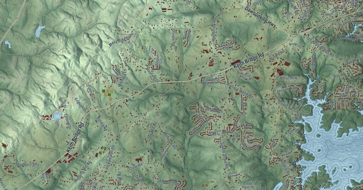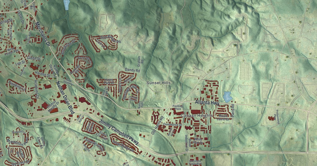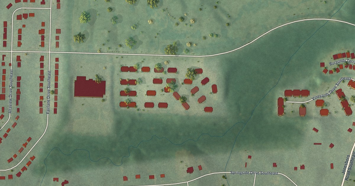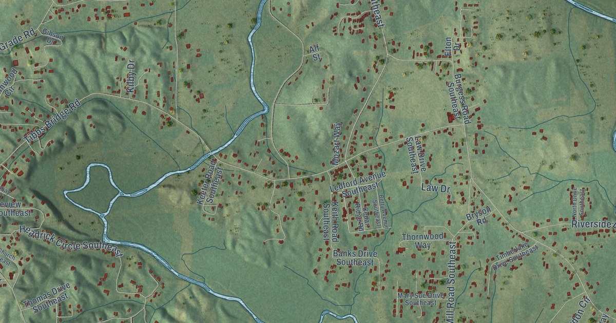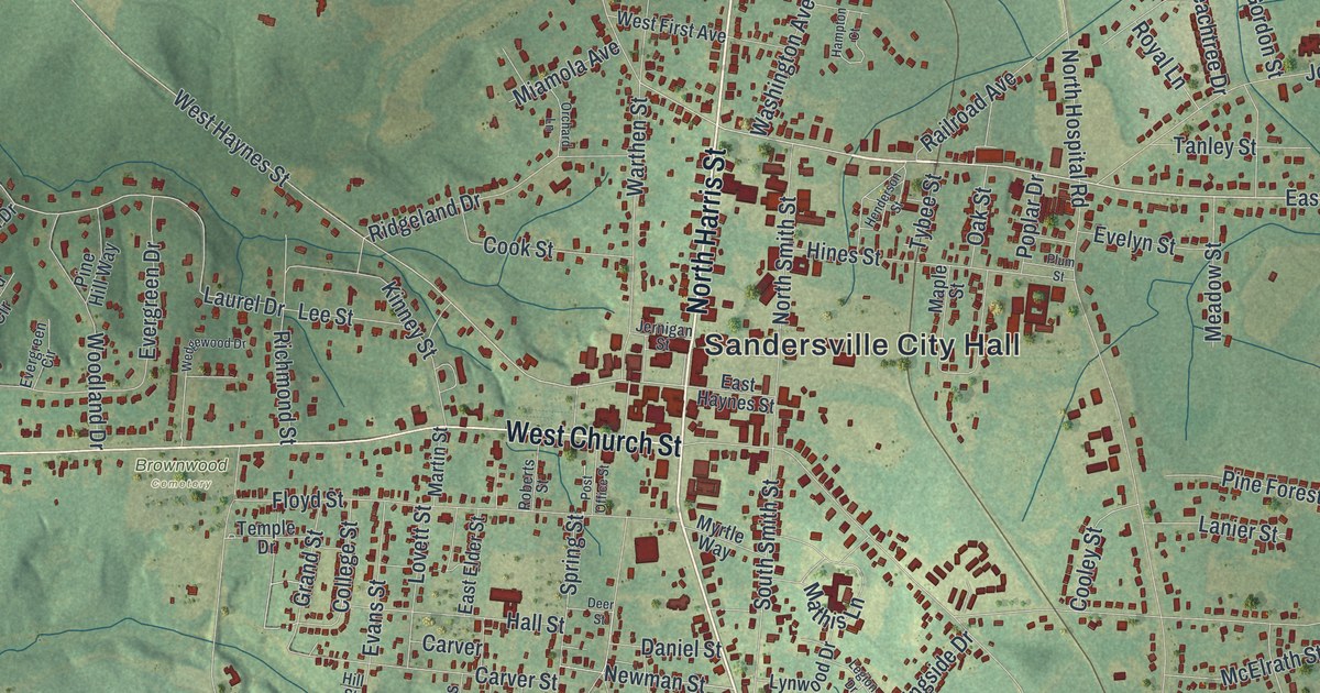
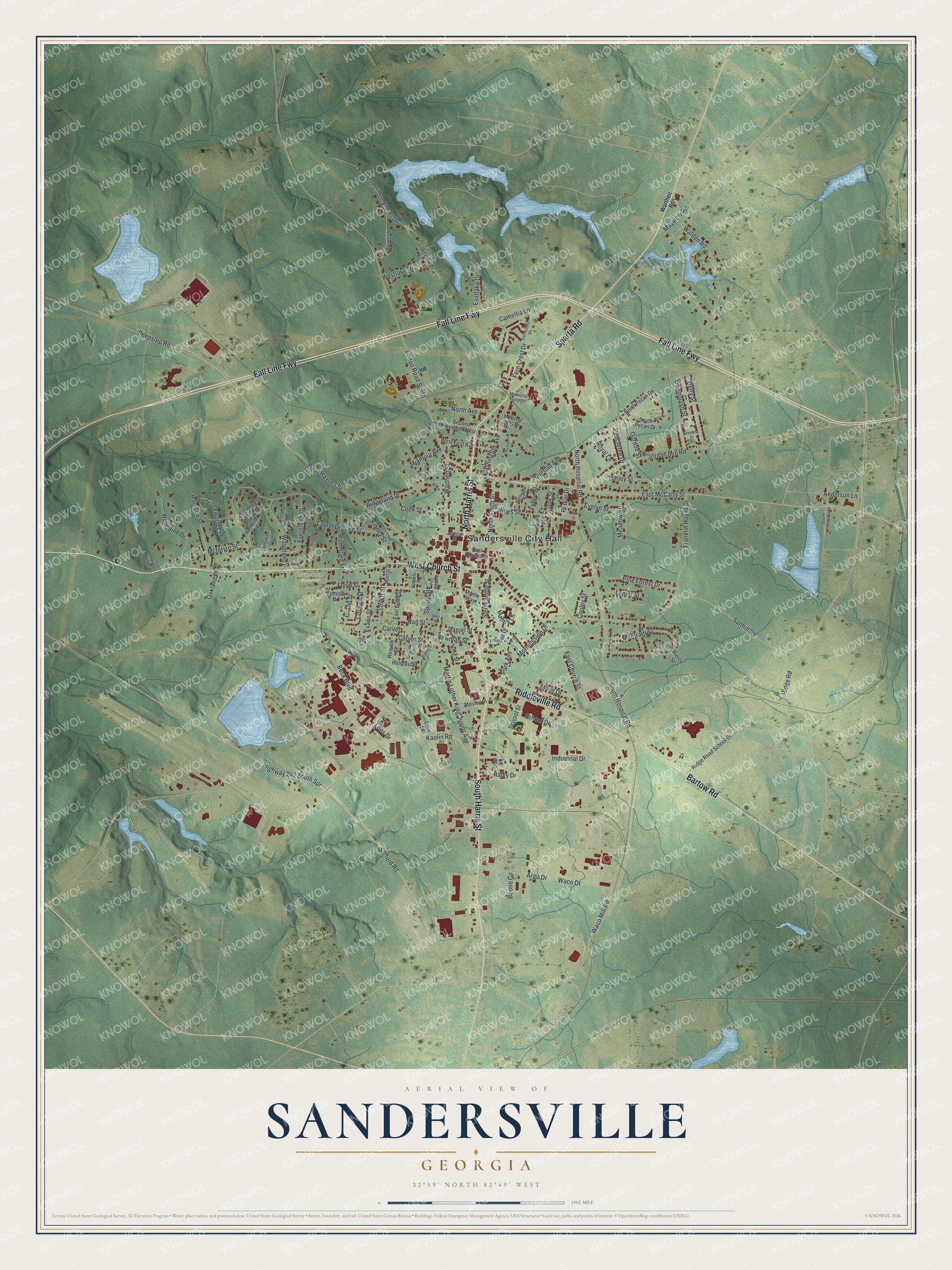
This beautifully detailed map of Sandersville, Georgia was created in 2026 using aerial imagery combined with modern topographical, census, street and landmark data. It’s a one-of-a-kind view of Sandersville that combines accurate data with a vintage aesthetic. The map shows every building in its true location, many of the roads carry their names, and the shaded topographic relief shows the shape of the land.
Explore an aerial view of Sandersville, Georgia
On the map you’ll find Sandersville City Hall and Brownwood Cemetery, along with Harris Street, Sparta Road, Bartow Road, Church Street, and more. If you look closely you can even find your house accurately drawn in its correct location. Zoom in on the preview to look for yours.
Did You Know?
General William T. Sherman paused in Sandersville in 1864 on his March to the Sea. Local resistance briefly centered on the courthouse. Union troops burned the courthouse and jail as they left but spared the rest of town. A new Washington County Courthouse rose in 1869.
Take a closer look at the Sandersville map
Names on this map
These names are printed on this map.
Places: Sandersville City Hall and Brownwood Cemetery.
Streets and roads: North Harris Street, South Harris Street, Sparta Road, Bartow Road, West Church Street, Fall Line Fwy, Riddleville Road, East McCarty Street, Safford Road, Highway 242 South Spr, Waco Mill Road, West Haynes Street.
More street names, A to Z
Anderson Lane, Argo Drive, Baker Street, Beck Boulevard, Betty Street, Boone Circle, Camellia Lane, Carver, Carver Street, College Street, Cook Street, Cooley Street, Creekwood Court, Daniel Street, Deepstep Road, Deer Street, Dogwood Drive, East Church Street, East Elder Street, East Haynes Street, Eastlake Drive, Evans Street, Evelyn Street, Evergreen Circle, Evergreen Drive, Fern Crest Drive, Ferncrest Drive, Floyd Street, Franklin Hayes Drive, Gordon Street, Grand Street, Gwendolyn Street, Hall Street, Hampton Court, Harrison Street, Henderson Street, Hillcrest Street, Hill Street, Hines Street, Industrial Drive, Jernigan Street, Jordan Mill Road, Kaolin Road, King Street, Kinney Street, Lakeview Drive, Lanier Street, Laurel Drive, Lee Street, Legion Drive, Linton Forest Drive, Linton Road South, Loos Drive, Lous Street, Lovett Street, Lynwood Drive, Maple Street, Martin Luther King Junior Avenue, Martin Street, Mathis Lane, Mayview Road, McElrath Street, McIntyre Street, Meadow Street, Medical Arts Drive, Memorial Hospital, Miamola Avenue, Morningside Drive, Mosley Place, Moye Drive, Myrtle Way, Newman Street, North Avenue, North Hospital Road, North Pecan Drive, North Smith Street, Oakland Place, Oak Street, Opal Street, Orchard Lane, Park Avenue, Peachtree Drive, Pierce Street, Pine Forest Drive, Pine Hill Way, Plum Street, Poplar Drive, Post Office Street, Railroad Avenue, Raley Drive, Redbud Circle, Reeves Street, Richmond Street, Ridgeland Drive, Ridge Road, Ridge Road School Drive, Roberts Street, Rocky Branch Road, Royal Lane, School Drive, School Street, Second Avenue West, South Anderson Drive, South Hospital Road, South Linton Forest Drive, South Pecan Drive, South Smith Street, Spring Street, Spring Valley Drive, Stevens Street, Sunhill Road, Tanley Street, Temple Drive, Tybee Street, Waco Drive, Walden Road, Warthen Road, Warthen Street, Washington Avenue, Wedgewood Drive, West First Avenue, Westlake Drive, Wiggins Street, Woodbine Drive, Woodland Drive.
See it on a wall
The Sandersville map as a framed print. Swipe for more.


This beautifully detailed map of Sandersville makes an attractive addition to your office, library, or den, and it can even be used to teach children the geography and history of the area. It also makes a great gift for anyone who grew up in Sandersville or moved away. When you’re done exploring, click here to get your copy of the Sandersville map.