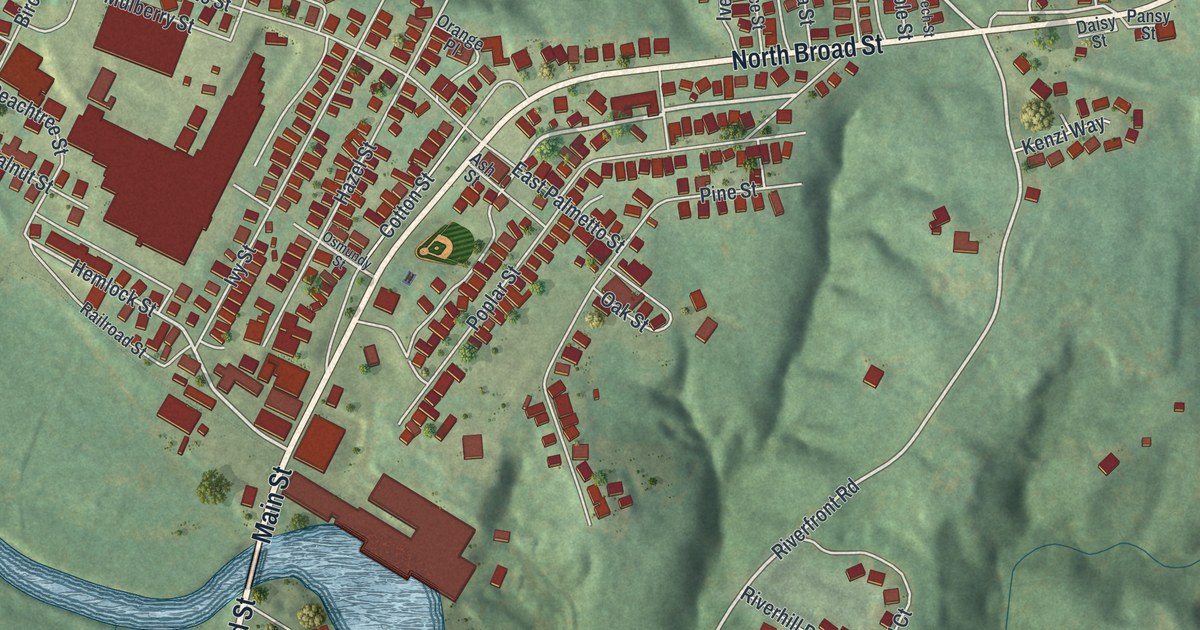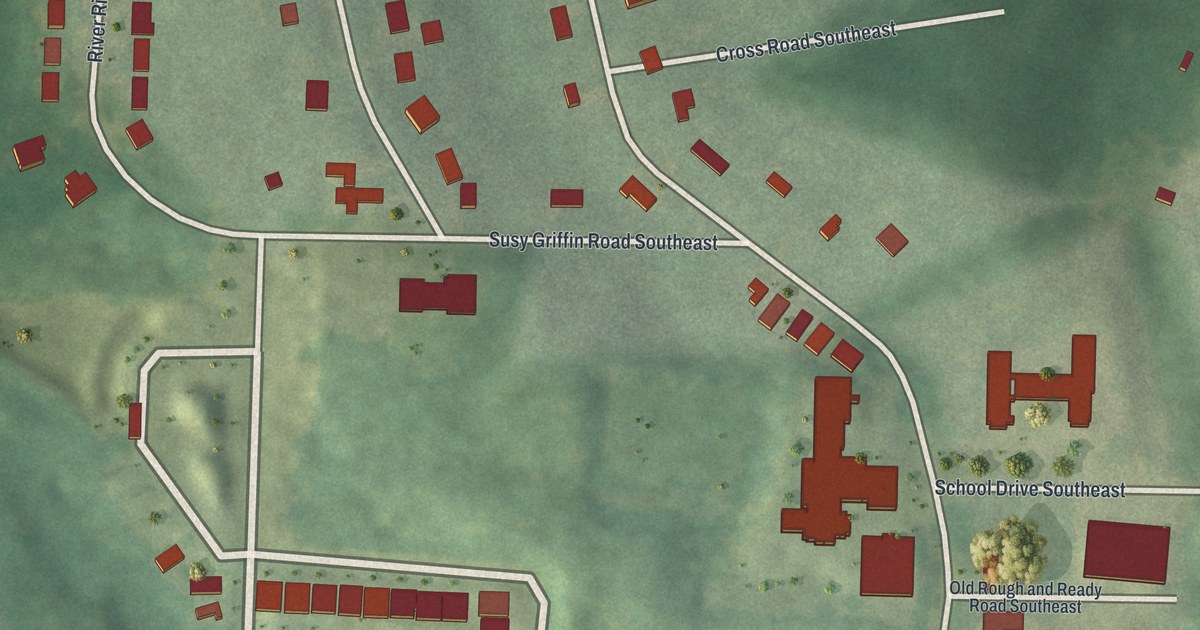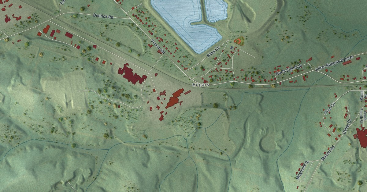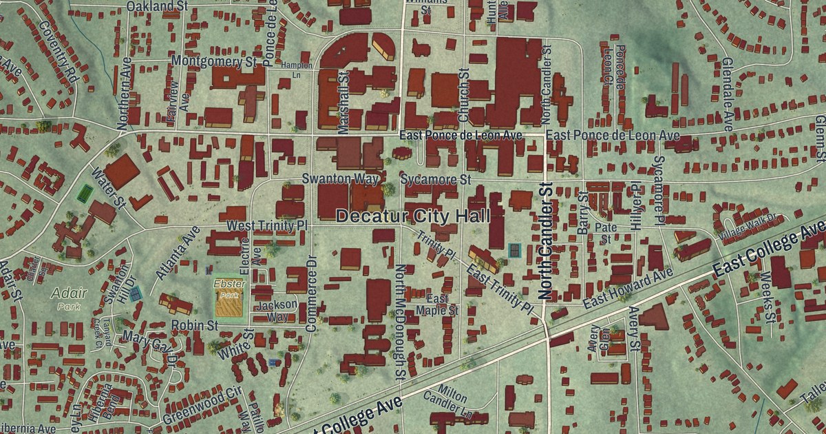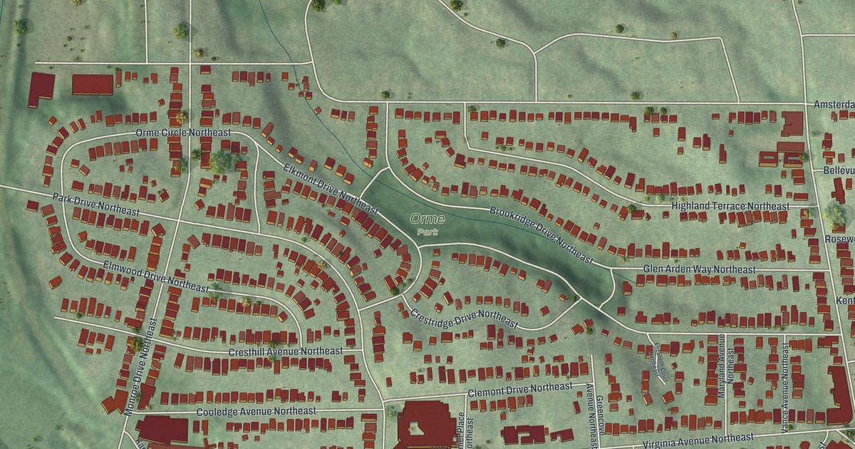
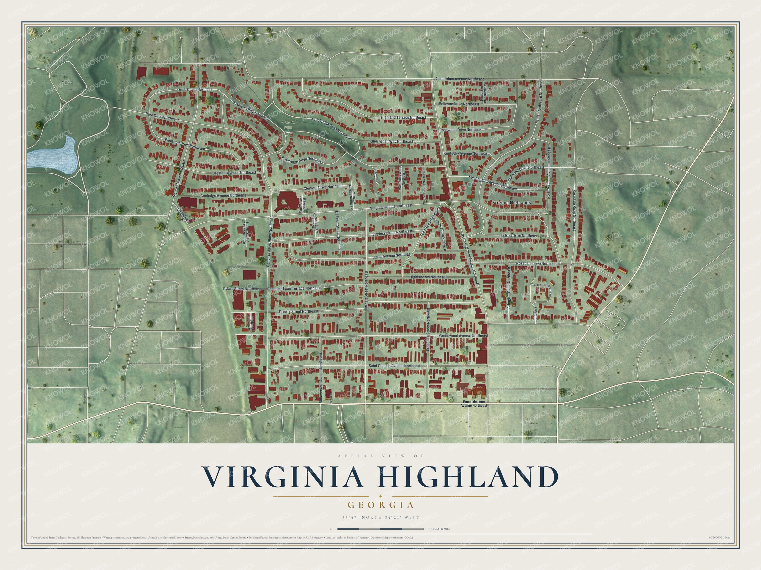
This beautifully detailed map of Virginia Highland, Georgia was created in 2026 using aerial imagery combined with modern topographical, census, street and landmark data. It’s a one-of-a-kind view of Virginia Highland that combines accurate data with a vintage aesthetic. The map shows every building in its true location, many of the roads carry their names, and the shaded topographic relief shows the shape of the land.
Explore an aerial view of Virginia Highland, Georgia
On the map you’ll find Virginia Highlands and Orme Park, along with Ponce de Leon Avenue, Rosedale Drive, Virginia Avenue, Amsterdam Avenue, North Highland Avenue, and more. If you look closely you can even find your house accurately drawn in its correct location. Zoom in on the preview to look for yours.
Did You Know?
Virginia-Highland began in the early 1900s as a streetcar suburb. It takes its name from the crossing of Virginia and North Highland avenues, where its shops cluster. Many of its bungalows were built between 1910 and 1940. Streetcar service ended around 1947, when every trolley line into central Atlanta shut down.
Take a closer look at the Virginia Highland map
Names on this map
These names are printed on this map.
Places: Orme Park and Virginia Highlands.
Streets and roads: Rosedale Drive Northeast, Virginia Avenue Northeast, Amsterdam Avenue Northeast, North Highland Avenue Northeast, Greenwood Avenue Northeast, Drewry Street Northeast, Brookridge Drive Northeast, Saint Charles Avenue Northeast, Park Drive Northeast, Los Angeles Avenue Northeast, Barnett Street Northeast, Ponce de Leon Place Northeast.
More street names, A to Z
Adair Avenue Northeast, Arcadia Street Northeast, Arlington Place Northeast, Bellevue Drive Northeast, Bonaventure Avenue Northeast, Briarcliff Court Northeast, Briarcliff Terrace Northeast, Clemont Drive Northeast, Cooledge Avenue Northeast, Cresthill Avenue Northeast, Crestridge Drive Northeast, De Leon Street Northeast, Elizabeth Court Northeast, Elkmont Drive Northeast, Elmwood Drive Northeast, Frederica Street Northeast, Glen Arden Way Northeast, Greencove Avenue Northeast, Highland, Highland Green Way, Highland Terrace Northeast, Highland Vw Northeast, Hudson Drive Northeast, Humphries Drive Northeast, Kanuga Street Northeast, Kentucky Avenue Northeast, Lanier Boulevard Northeast, Maryland Avenue Northeast, Monroe Drive Northeast, North Virginia Avenue Northeast, Orme Circle Northeast, Ponce de Leon Avenue Northeast, Ponce de Leon Terrace Northeast, Pylant Street Northeast, Ranier Place Northeast, Rosedale Road Northeast, Rosewood Drive Northeast, Rupley Drive Northeast, Stillwood Drive Northeast, Todd Road Northeast, Trolley Square Crossing Northeast, Vance Avenue Northeast, Virginia Circle Northeast.
See it on a wall
The Virginia Highland map as a framed print. Swipe for more.


This beautifully detailed map of Virginia Highland makes an attractive addition to your office, library, or den, and it can even be used to teach children the geography and history of the area. It also makes a great gift for someone who left Virginia Highland and still calls it home. When you’re done exploring, click here to get your copy of the Virginia Highland map.