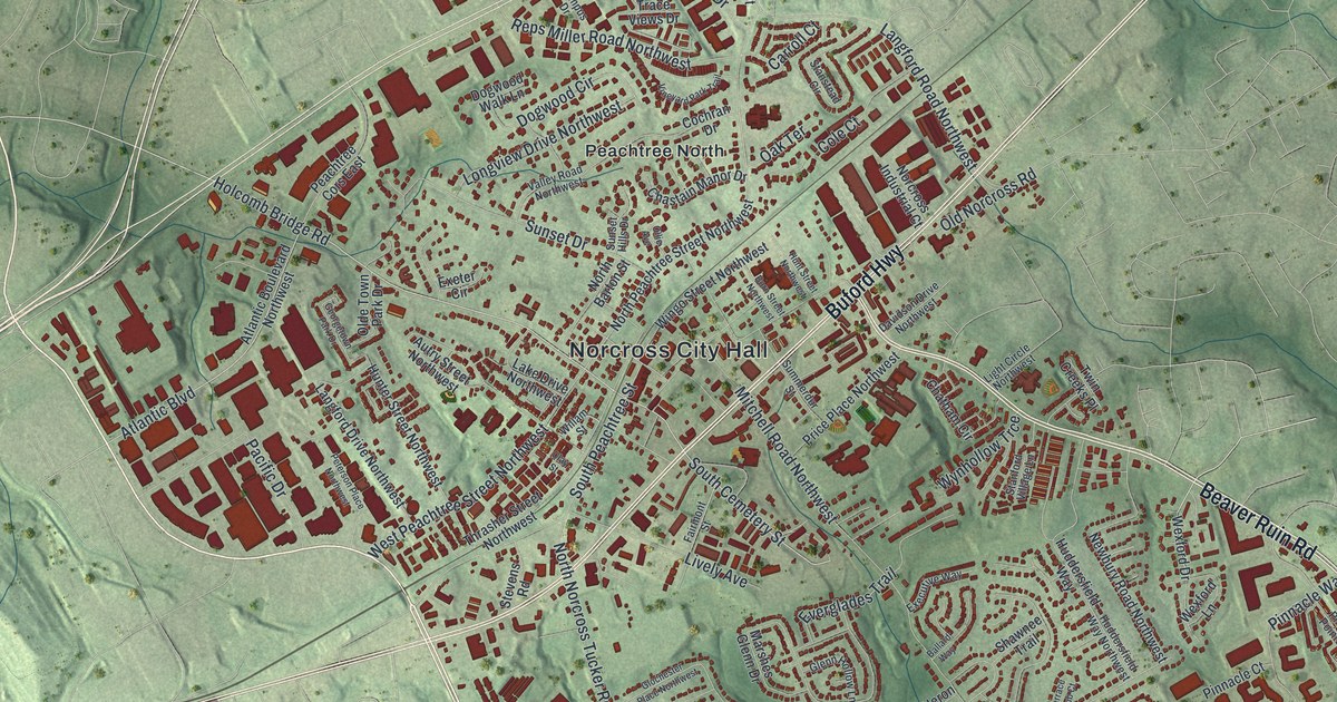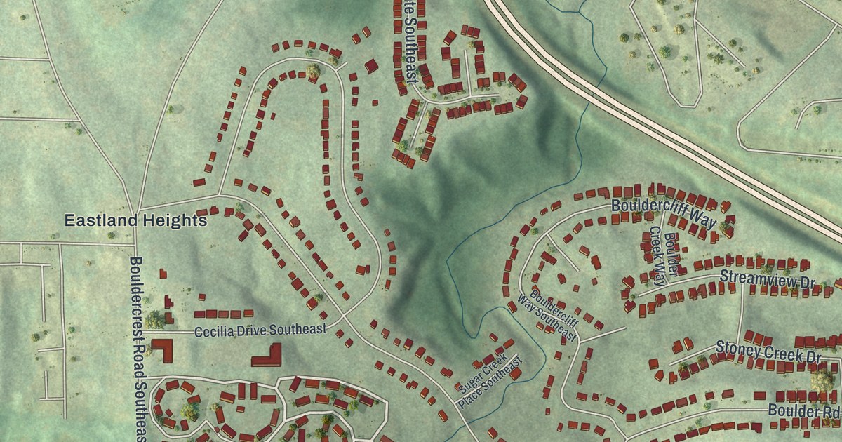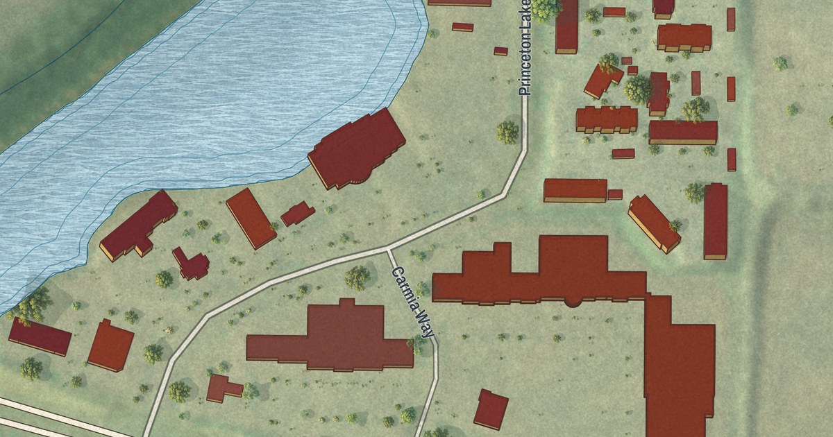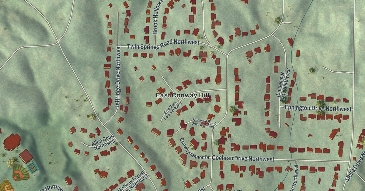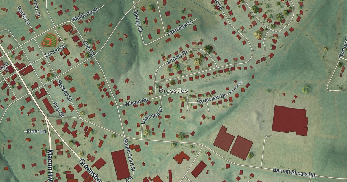
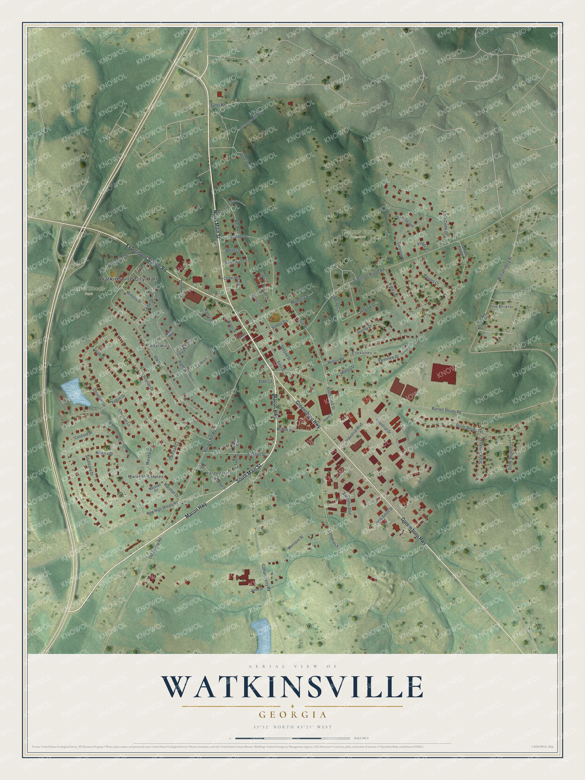
This beautifully detailed map of Watkinsville, Georgia was created in 2026 using aerial imagery combined with modern topographical, census, street and landmark data. It’s a one-of-a-kind view of Watkinsville that combines accurate data with a vintage aesthetic. The map shows every building in its true location, many of the roads carry their names, and the shaded topographic relief shows the shape of the land.
Explore an aerial view of Watkinsville, Georgia
On the map you’ll find Watkinsville City Hall, Cedar Hills, Crossties, Harden Hills, The Briars, Harris Shoals Park, and Thomas Farm Preserve, along with Main Street, Macon Highway, Greensboro Highway, Experiment Station Road, and more. If you look closely you can even find your house accurately drawn in its correct location. Zoom in on the preview to look for yours.
Did You Know?
Watkinsville was named for Colonel Robert Watkins and first appeared in records in 1791. Back then it was a risky spot on the young nation’s western edge. It was the seat of Clarke County until 1872. Losing that title helped bring about a new Oconee County in 1875, with Watkinsville as its seat.
Take a closer look at the Watkinsville map
Names on this map
These names are printed on this map.
Places: Watkinsville City Hall, Harris Shoals Park, Thomas Farm Preserve, Trove Open Space, Cedar Hills, Crossties, Harden Hills, Marshall Estates and The Briars.
Streets and roads: North Main Street, Macon Highway, South Main Street, Greensboro Highway, Experiment Station Road, Harden Hill Road, Third Street, Water Street, Williamsburg Place, South Third Street, School Street, Norton Road.
More street names, A to Z
Barnett Shoals Road, Bond Way, Bunny Hop Trail, Business Boulevard, Calls Creek Drive, Camden Park Drive, Cedar Drive, Cedar Hill Circle, Charity Lane, Christian Court, Christian Drive, Christian Lane, Christian Terrace, Colham Ferry Road, Concord Drive, Court Street, Depot Street, Dooley Street, Durhams Mill Way, Durham Street, Elder Lane, Elliot Circle, Farmview Drive, Farnview Drive, Felton Drive, First Street, Fuller Road, Harris Lane, Harris Shoals Drive, Hight Drive, Industrial Boulevard, Industrial Drive, Jackson Street, Jackson Terrace, Jacob Drive, Jeremy Drive, Jerry Smith Drive, Jones Drive, Katie Lane, Lakeview Drive, Lawanna Drive, Layle Lane, Lee Street, Lumpkin Lane, Marshal Drive, Marshall Circle, Marshall Drive, McRee Street, Mimosa Drive, Morrison Street, Mulberry Street, Nancy Drive, New High Shoals Road, Niagara Drive, Old Bishop Road, Second Street, Simonton Bridge Road, Simonton Drive, Simonton Way, Southland Drive, Spring Circle, Stone Shoals Court, Stone Shoals Lane, Stone Shoals Terrace, Sumner Court, Tanyard Trail, Taylors Court, Thrasher Drive, Vfw Drive, Village Circle, Whitehead Drive, White Lane, White Street, White Street Extended, Wilson Road.
See it on a wall
The Watkinsville map as a framed print. Swipe for more.


This beautifully detailed map of Watkinsville makes an attractive addition to your office, library, or den, and it can even be used to teach children the geography and history of the area. It also makes a great gift for anyone who grew up in Watkinsville or moved away. When you’re done exploring, click here to get your copy of the Watkinsville map.