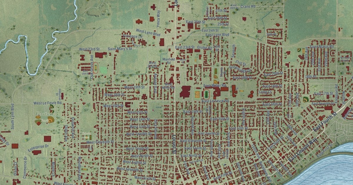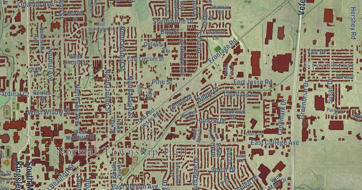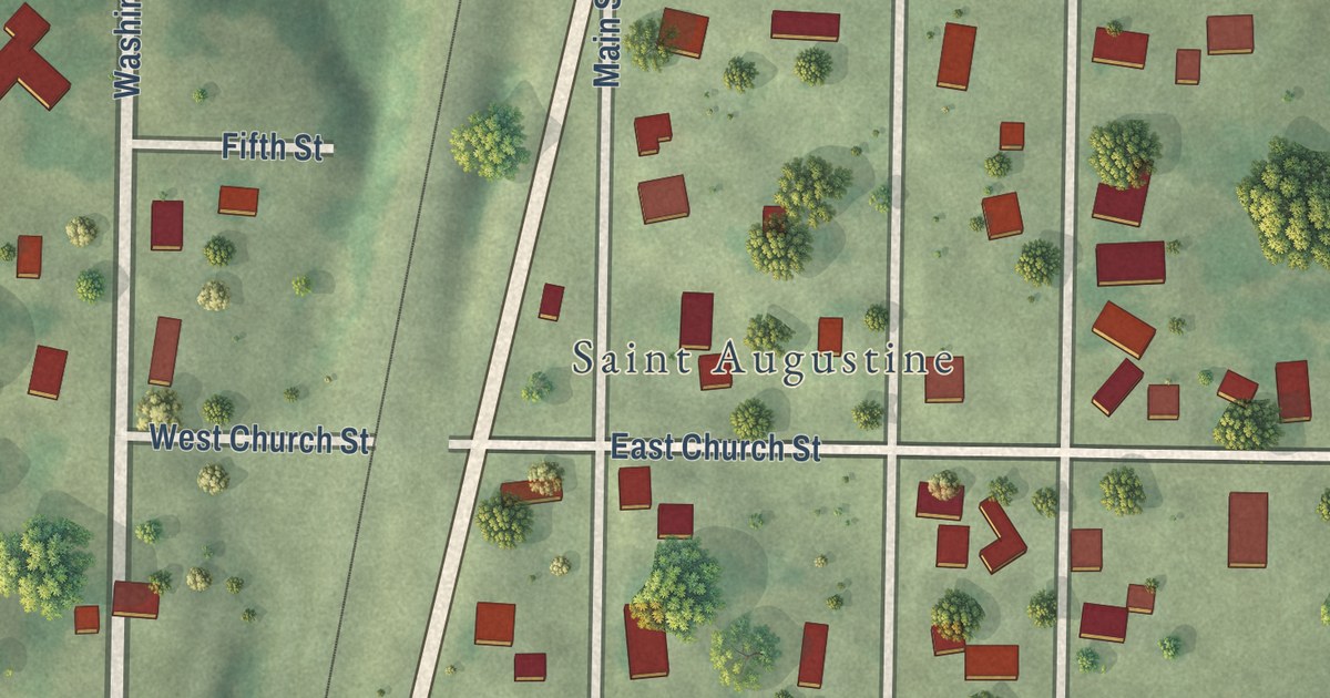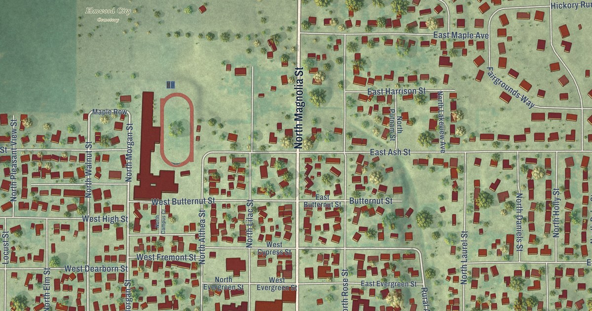
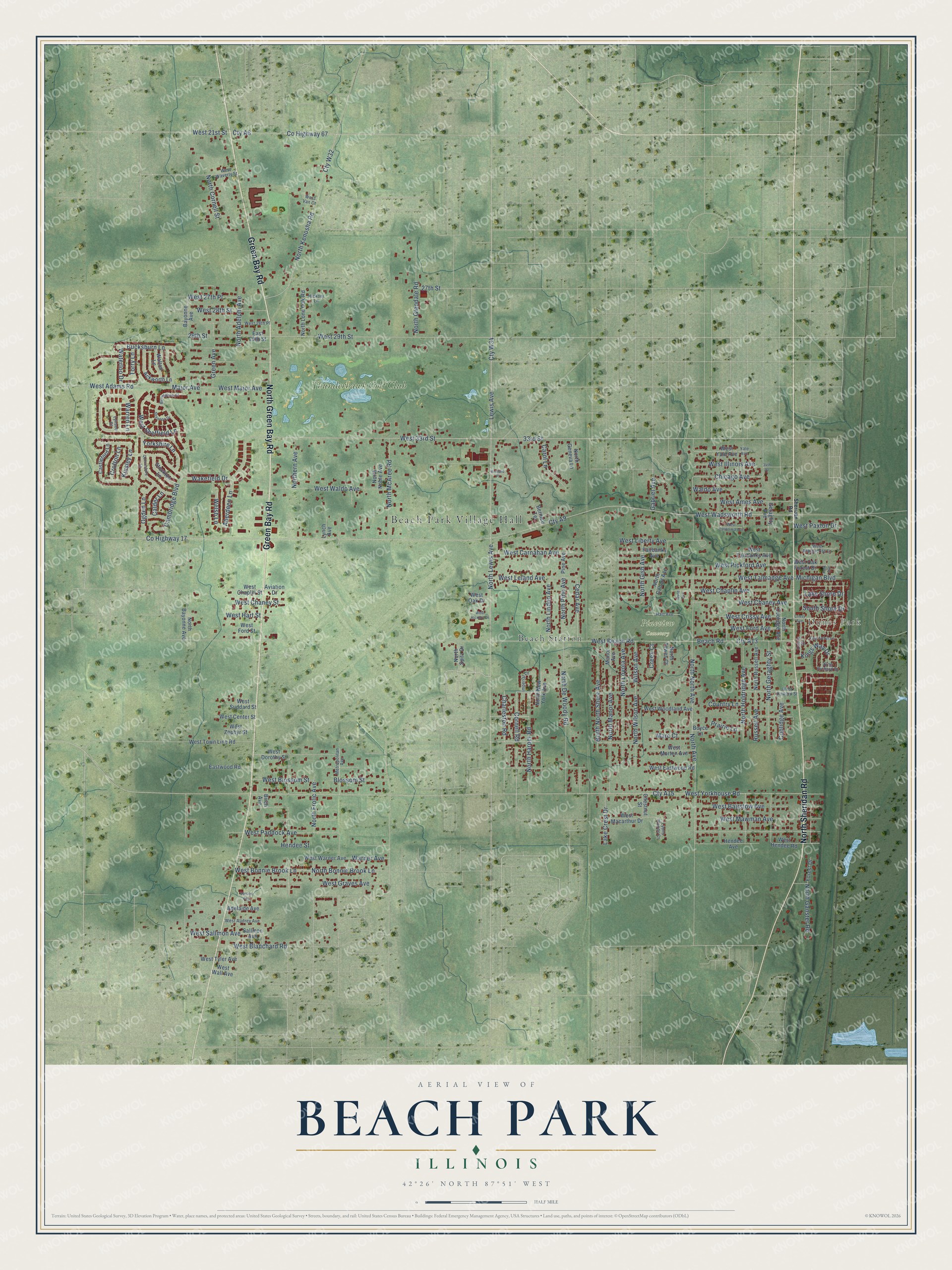
This beautifully detailed map of Beach Park, Illinois was created in 2026 using aerial imagery combined with modern topographical, census, street and landmark data. It’s a one-of-a-kind view of Beach Park that combines accurate data with a vintage aesthetic. The map shows every building in its true location, many of the roads carry their names, and the shaded topographic relief shows the shape of the land.
Explore an aerial view of Beach Park, Illinois
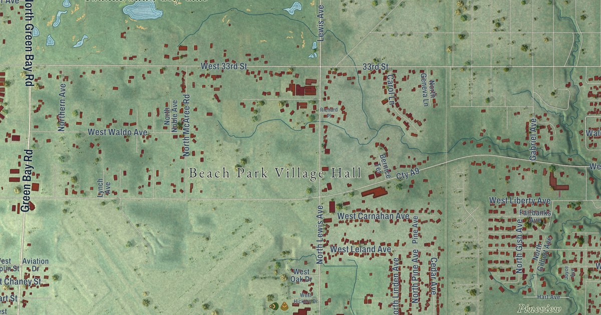
On the map you’ll find Beach Park Village Hall, Dunes Park, Pineview Cemetery, Beach Station, Thunderhawk Golf Club, and Cty W34, along with Green Bay Road, North Green Bay Road, North Sheridan Road, West 33rd Street, 33rd Street, Chicago Avenue, and more. If you look closely you can even find your house accurately drawn in its correct location. Zoom in on the preview to look for yours.
Did you know this piece of Beach Park, Illinois history?
From the Village of Beach Park: "In 1949 the village had already adopted the name of Beach Park and had a school district and a fire protection district in place."
Take a closer look at the Beach Park map
Street and place names on the Beach Park, Illinois map
These names are printed on the map of Beach Park, Illinois.
Places: Beach Park Village Hall, Dunes Park, Pineview Cemetery, Beach Station and Thunderhawk Golf Club.
Streets and roads: Green Bay Road, North Green Bay Road, North Sheridan Road, West 33rd Street, 33rd Street, Cty W34, Chicago Avenue, County Highway 17, Lake Shore Drive, Major Avenue, North Frolic Avenue, County Highway 67.
More street names, A to Z
27th Street, 29th Street, 34th Street, Aberdeen Lane, Ackworth Lane, Adelaide Avenue, Aviation Drive, Bayonne Avenue, Beach Road, Bernice Terrace, Birch Avenue, Birmingham Court, Blossom Street, Boyce Lane, Bucksburn Lane, Calder Lane, Cambridge Boulevard, Carol Lane, Castle Drive, Castleford Lane, Cedar Avenue, Charleston Road, Chestnut Street, Coolidge Avenue, Cornell Road, Country Lane, Creek Court, Crissy Avenue, Crofton Lane, Cty A6, Cty A9, Cty A13, Cty A15, Cty W32, East 29th Street, Eastwood Road, Fairbanks Avenue, Forest Drive, Gabriel Avenue, Geraghty Avenue, Green Avenue, Hart Avenue, Hendee Avenue, Hendee Street, Hickory Lane, Imperial Lane, Joyce Avenue, King Arthur Lane, King Richard Drive, Kings Way Drive, Kinsley Lane, Lake Crest Drive, Lewis Avenue, Lynch Avenue, Lynsee Court, Lyons Woods Court, Manor Avenue, Marc Court, Metropolitan Avenue, Michigan Boulevard, North Adelphi Avenue, North Avenue, North Bayonne Avenue, North Bonnie Brook Lane, North Coolidge Avenue, North Cornell Street, North De Woody Road, Northern Avenue, North Ganster Road, North Geneva Lane, North Geraghty Street, North Gilbert Avenue, North Gish Avenue, North Glendale Road, North Harper Road, North Holdridge Avenue, North Kenosha Road, North Lewis Avenue, North Linden Avenue, North Lone Oak Road, North Loyola Avenue, North Manor Avenue, North McAree Road, North New York Avenue, North Noble Avenue, North North Avenue, North North Shore Avenue, North Pine Avenue, North Russell Avenue, North Spitz Drive, North Tewes Court, North Wilson Avenue, Ogden Lane, Park Avenue, Pine Avenue, Prairie Lane, Queensbury Lane, Richard Place, Russell Avenue, Sallmon Avenue, Shannon Drive, Sheridan Road, South Shore Drive, Stockton Lane, Torry Lane, Vercoe Avenue, Wakefield Drive, Waldo Avenue, Walton Lane, Warner Avenue, Warren Lane, Waterloo Drive, Welsh Lane, West 21st Street, West 27th Place, West 28th Place, West 28th Street, West 29th Street, West Adams Road, West Ames Avenue, West Audrey Avenue, West Bairstow Avenue, West Beach Road, West Blanchard Road, West Blossom Street, West Bonnie Brook Lane, West California Avenue, West Carnahan Avenue, West Center Street, West Chaney Avenue, West Chaney Street, West Chaplin Avenue, West Chaplin Street, West Crissy Avenue, West Dorothy Street, West Eastwood Road, West Fairbanks Avenue, West Ford Avenue, West Ford Street, West Graves Avenue, West Hart Street, West Hendee Road, West Hickory Drive, West Howard Street, West Illinois Avenue, West Leland Avenue, West Liberty Avenue, West Macarthur Drive, West Major Avenue, West Marguerite Lane, West Mawman Avenue, West Morton Avenue, West Oak Drive, West Oak Forest Drive, West Paddock Avenue, West Paxton Drive, West Pickford Avenue, West Sallmon Avenue, West Sheffield Lane, West Suddard Street, West Talmadge Avenue, West Town Line Road, West Tyler Avenue, West Van Court, West Wadsworth Road, West Waldo Avenue, West Wall Avenue, West Warner Avenue, West Waverly Street, West Woodland Avenue, West Yale Avenue, West Yorkhouse Road, West Zephyr Street, Wilson Avenue, Yale Avenue, Yorkshire Lane.
See the Beach Park, Illinois map on a wall
The Beach Park map as an 18 x 24 inch print in a black frame.

This beautifully detailed map of Beach Park makes an attractive addition to your office, library, or den, and it can even be used to teach children the geography and history of the area. It also makes a great gift for anyone who grew up in Beach Park or moved away. When you’re done exploring, click here to get your copy of the Beach Park map.