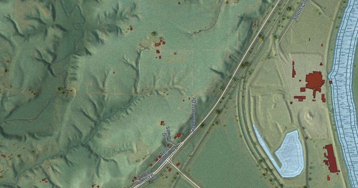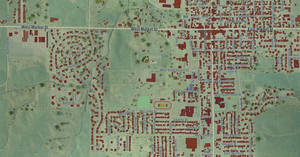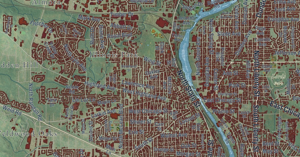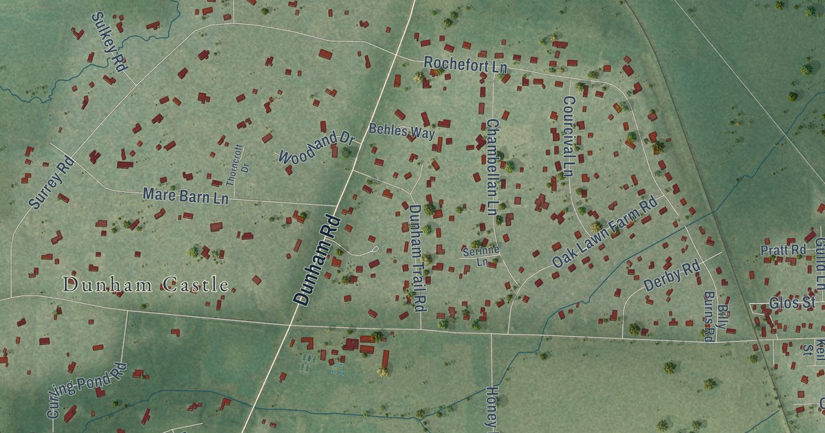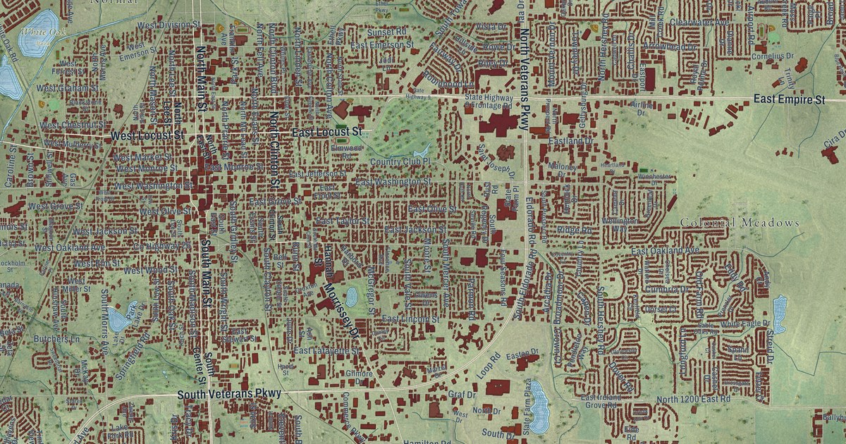
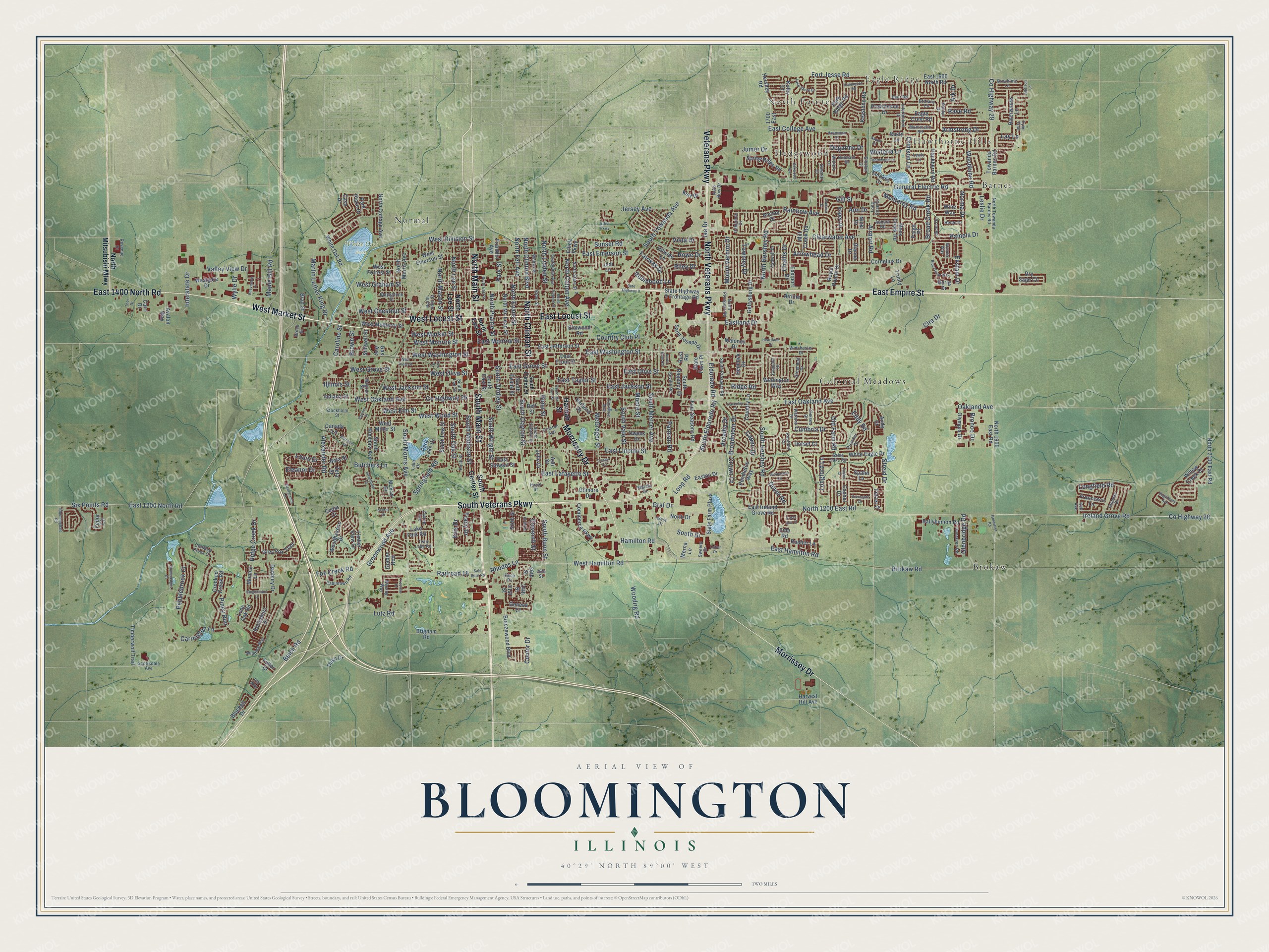
This beautifully detailed map of Bloomington, Illinois was created in 2026 using aerial imagery combined with modern topographical, census, street and landmark data. It’s a one-of-a-kind view of Bloomington that combines accurate data with a vintage aesthetic. The map shows every building in its true location, many of the roads carry their names, and the shaded topographic relief shows the shape of the land.
Explore an aerial view of Bloomington, Illinois
On the map you’ll find Eagle Ridge, Hawthorne Hills, White Oak Park, Barnes, Brokaw, Colonial Meadows, Hedgewood, Normal, and North Pointe, along with East Empire Street, South Main Street, West Market Street, and more. If you look closely you can even find your house accurately drawn in its correct location. Zoom in on the preview to look for yours.
Did you know this piece of Bloomington, Illinois history?
From the McLean County History: "The first charter to establish and regulate a system of public schools in the city of Bloomington was granted by the Legislature of the State, February 22, 1857."
Take a closer look at the Bloomington map
Street and place names on the Bloomington, Illinois map
These names are printed on the map of Bloomington, Illinois.
Places: Eagle Ridge, Hawthorne Hills, White Oak Park, Barnes, Brokaw, Colonial Meadows, Hedgewood, Normal and North Pointe.
Streets and roads: East Empire Street, South Main Street, West Market Street, East Locust Street, West Locust Street, North Main Street, South Veterans Parkway, North Veterans Parkway, Morrissey Drive, East 1400 North Road, North Clinton Street, Veterans Parkway.
More street names, A to Z
21st Street, 24th Street, 26th Street, 28th Street, 1700 East, Addison Lane, Airline Drive, Airport Road, Alexander Road, Anchor Drive, Andy Court, Ann Drive, Arcadia Drive, Ark Drive, Armstrong Drive, Arrowhead Drive, Ash Street, Aspen Court, Auburn Road, Auto Row Drive, Avalon Way, Baer Road, Ballybunion Road, Barnacle Lane, Beich Road, Bell Street, Beta Street, Binghamton Lane, Blackstone Street, Bloomingdale Road, Bluebell Drive, Blue Heron Way, Brad Street, Breezewood Boulevard, Brigham Road, Brittany Circle, Broad Creek Road, Broadmoor Drive, Brock Drive, Brokaw Road, Bronco Drive, Brookline Lane, Brown Street, Bunn Street, Butchers Lane, Cabintown Road, Cadwell Drive, Camelot Drive, Canada Lane, Capen Drive, Caroline Street, Carri Drive, Carrington Lane, Case Drive, Cashel Court, Cashel Drive, Cedar Court, Challis Drive, Chelsea Drive, Cira Drive, Clearwater Avenue, Commerce Parkway, Conley Circle, Conlor Drive, Cornelius Drive, Country Club Place, Country Lane, County Highway 26, County Highway 28, County Highway 29, Coventry Court, Crimson Lane, Crista Ann Court, Crooked Creek Court, Crooked Creek Road, Crossgate Drive, Crown Court, Croxton Avenue, Cumbria Drive, Cutler Drive, Danbury Drive, Degarmo Drive, Dianne Drive, Dimmitt Court, Dorset Court, Dover Road, Dry Sage Circle, Duke Drive, Dunraven Road, Eagle Crest Road, East 1200 North Road, East 1600 North Road, East College Avenue, East Emerson Street, East Front Street, East Grove Street, East Hamilton Road, Eastholme Avenue, East Ireland Grove Road, East Jackson Street, East Jefferson Street, East Lafayette Street, Eastland Drive, East Lincoln Street, East Monroe Street, East Oakland Avenue, East Olive Street, Easton Drive, Eastport Drive, East Stewart Street, East Taylor Street, East Washington Street, Eddy Road, Eide Road, Ekstam Drive, Elder Street, Eldorado Road, Eleanor Drive, Eleventh Street, Elmwood Road, Espey Drive, Ethell Parkway, Ethel Parkway, Fairway Drive, Fedor Circle, Fetzer Court, Florence Avenue, Fort Jesse Road, Four Seasons Road, Fox Creek Road, Francesco Lane, Franklin Avenue, Fuller Court, Gas Avenue, General Electric Road, Geneva Court, Georgianna Lane, Gerig Drive, Gettysburg Drive, Gill Street, Gilmore Drive, Glenbridge Road, Gloucester Circle, Golden Rod, Golwitzer Road, Graf Drive, Greenleaf Drive, Greenwood Avenue, Grey Fox Trail, Guiness Drive, Hackberry Road, Hamilton Road, Hannah Street, Harbord Drive, Harvest Hill Avenue, Hazel Street, Heartland Drive, Helen Drive, Hemlock Drive, Hershey Road, Hillside Lane, Hubbard Drive, Huntington Road, Iaa Drive, Illinois Street, Indiana Street, Interlocken Drive, Interstate Drive, Ireland Grove Road, Iris Way, Janet Drive, Jersey Avenue, Jodi Lane, Julie Drive, Jumer Drive, Kaitlyn Drive, Kell Avenue, Kenfield Circle, Keystone Road, Koch Street, Kolby Court, Kris Drive, Kurt Drive, Lake Drive, Lake Fork Road, Lake Shore Drive, Lay Lane, Leafy Lane, Leslie Drive, Lone Oak Road, Long Cove Court, Longfield Road, Longford Lane, Loop Road, Louis Drive, Low Street, Lutz Road, Magoun Street, Maloney Drive, Maple Hill Road, Martin Luther King Drive, Marzel Drive, McGregor Street, McKay Drive, Merna Lane, Mill Creek Road, Monica Lane, Monterey Road, Monticello Road, Moore Street, Moss Creek Road, Mount Vernon Drive, Nicki Drive, Ninth Street, Norma Drive, North 1200 East Road, North 1900 East Road, North 2100 East Road, North Allin Street, North Clinton Boulevard, North Colton Avenue, North Cottage Avenue, North Drive, North East Street, North Eugene Street, North Evans Street, North Fell Avenue, North Hershey Road, North Lee Street, North Linden Street, North Mason Street, North Mc Lean Street, North Mitsubishi Mtwy, North Morris Avenue, North Prairie Street, North Prospect Road, North Ruth Road, North State Street, North Towanda Barnes Road, Oakbrook Drive, Oakland Avenue, Oakwood Avenue, Old Farm Road, Olympia Drive, Owens Drive, Paige Place, Pamela Drive, Park Lake Drive, Park Place Drive, Park Ridge Road, Park Street, Parmon Road, Partner Place, Pebblebrook Court, Pendleton Way, Piney Run, Prenzler Drive, Providence Drive, Railroad 16, Rainbow Avenue, Rave Road, Reeveston Drive, Rena Drive, Revenue Drive, Rhodes Lane, Ridge Creek Drive, Ridge Road, Riley Drive, Riverwoods Lane, Robinhood Lane, Rocksbury Drive, Rowe Drive, Royal Pointe Drive, Rudder Lane, Rust Road, Rusty Lane, Sable Oaks Road, Saint Joseph Drive, Sale Barn Road, Sate Highway 9, Scottsdale Avenue, Seville Road, Sinclair Court, Six Points Road, Sixth Street, Smokey Court, South Bunn Street, South Center Street, South Clayton Street, South Clinton Street, South Drive, South East Street, South Eldorado Road, South Evans Street, South Gridley Street, South Hershey Road, South Hinshaw Avenue, South Lee Street, South Low Street, South Madison Street, South Mc Clun Street, South Mercer Avenue, South Morris Avenue, South Oak Street, South Prospect Road, South Regency Drive, South Towanda Avenue, South Vale Street, South Wright Street, Spahn Lane, Springfield Road, Spring Ridge Road, State Farm Place, State Farm Plaza, State Highway 9 Frontage Road, Stillwell Street, Stockholm Street, Stonehedges Court, Streid Drive, Sugarberry Avenue, Sunset Road, Sweeny Drive, Sweetbriar Drive, Szarek Drive, Thor Drive, Thornwood Lane, Timber View Drive, Timberwolf Trail, Towanda Barnes Road, Townley Drive, Tracy Drive, Treeline Drive, Trinity Lane, Twin Lake Road, Tyler Trail, Valley View Drive, Vista Drive, Vladimir Drive, Vrooman Court, Wanda Way, Watford Drive, Wellington Way, West Chestnut Street, West Division Street, West Drive, West Elm Street, West Emerson Street, West Forrest Street, West Front Street, Westgate Drive, West Graham Street, West Grove Street, West Hamilton Road, West Jackson Street, West Miller Street, West Monroe Street, West Mulberry Street, West Oakland Avenue, West Olive Street, West Washington Street, West Wood Street, White Eagle Drive, White Oak Road, Whites Place, Willow Creek Drive, Winchester Drive, Winding Way, Wine Way, Wirsing Way, Wisteria Lane, Withers Lane, Woodbine Road, Woodhavens Drive, Woodrig Road, Wylie Drive, Zeta Street, Zweng Avenue.
See the Bloomington, Illinois map on a wall
The Bloomington map as an 18 x 24 inch print in a black frame.

This beautifully detailed map of Bloomington makes an attractive addition to your office, library, or den, and it can even be used to teach children the geography and history of the area. It also makes a great gift for anyone who grew up in Bloomington or moved away. When you’re done exploring, click here to get your copy of the Bloomington map.