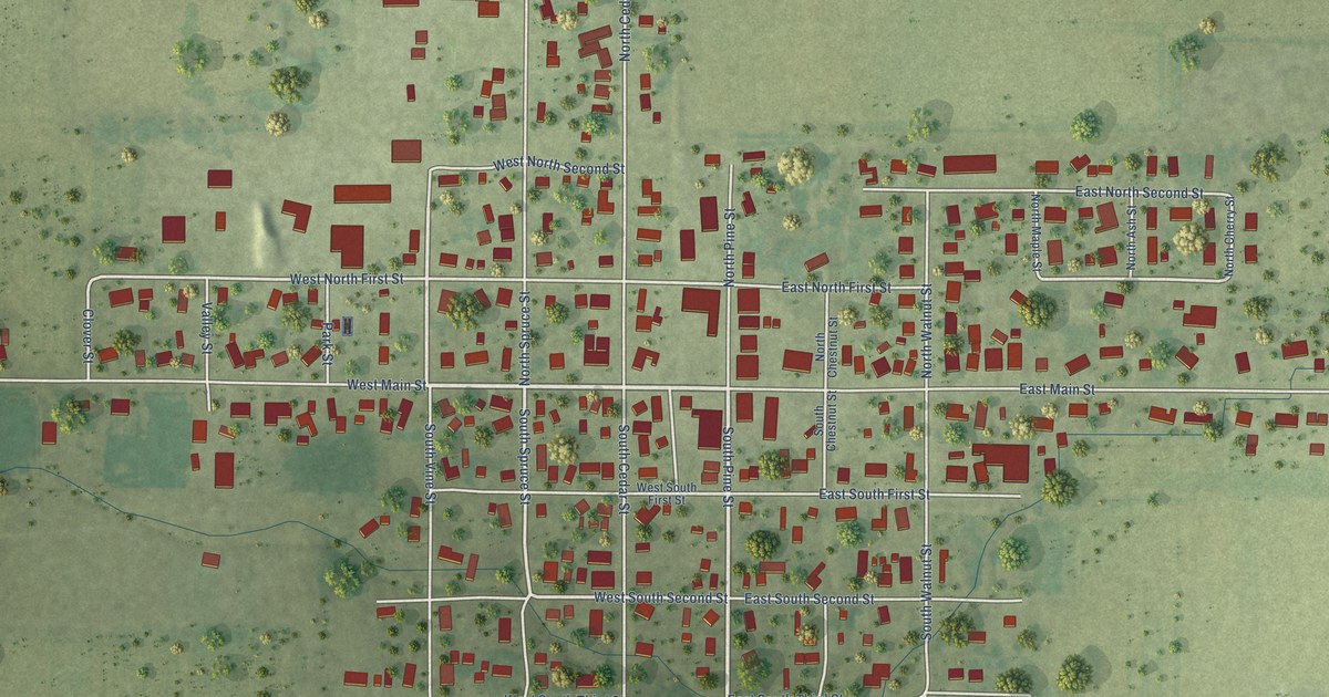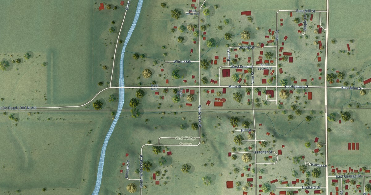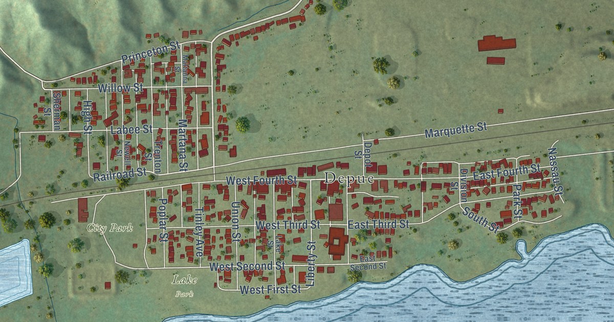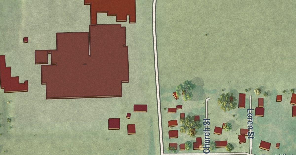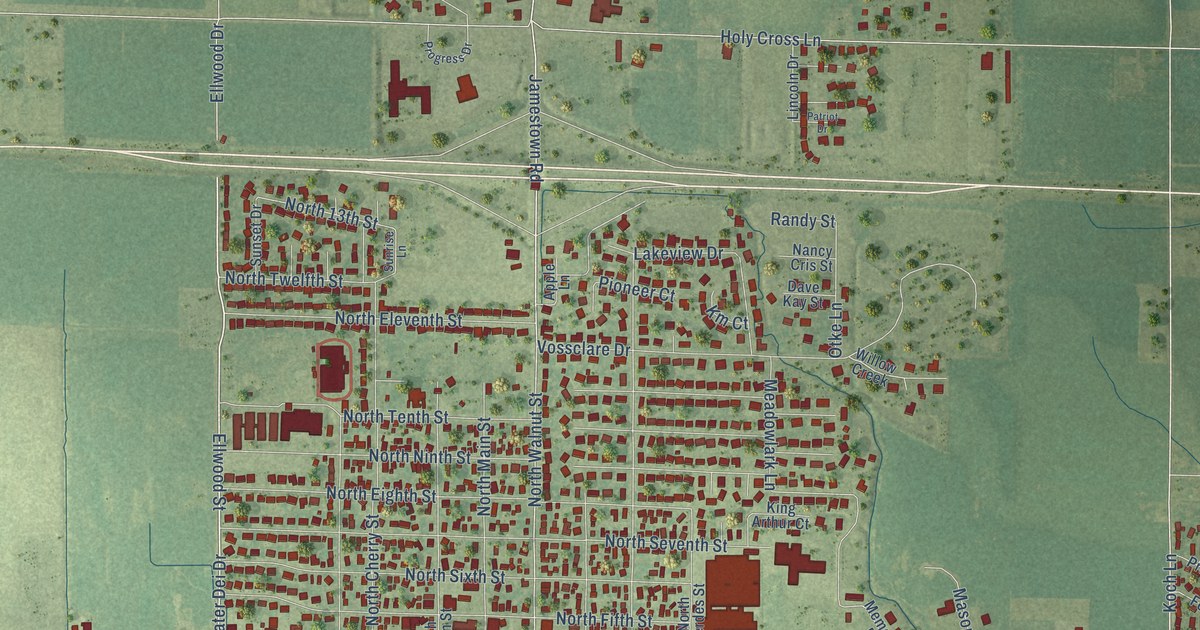
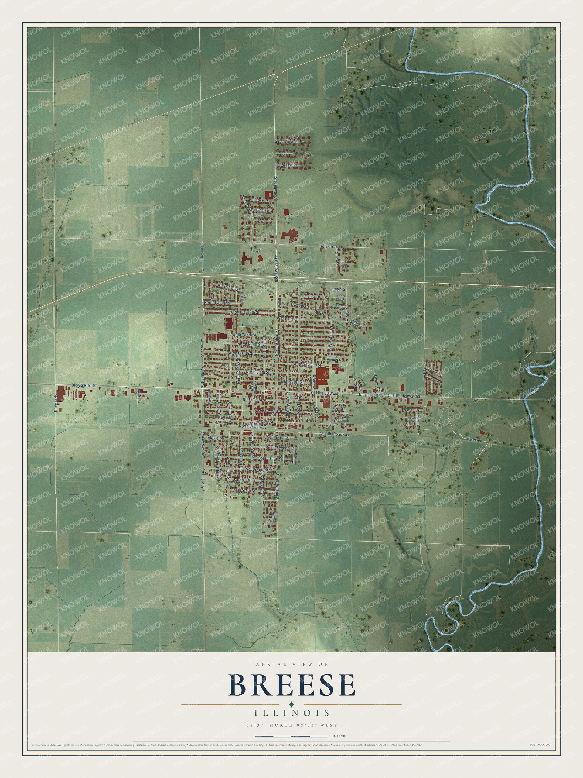
This beautifully detailed map of Breese, Illinois was created in 2026 using aerial imagery combined with modern topographical, census, street and landmark data. It’s a one-of-a-kind view of Breese that combines accurate data with a vintage aesthetic. The map shows every building in its true location, many of the roads carry their names, and the shaded topographic relief shows the shape of the land.
Explore an aerial view of Breese, Illinois
On the map you’ll find South Broadway, along with Mater Dei Drive, Old US Highway 50, Ellwood Drive, Ellwood Street, South Plum Street, County Highway 11, Jamestown Road, North Walnut Street, North Fourth Street, Drive in Road, Germantown Road, and more. If you look closely you can even find your house accurately drawn in its correct location. Zoom in on the preview to look for yours.
Did you know this piece of Breese, Illinois history?
From the City of Breese: "Growth was slow for Breese until the completion of the Mississippi and Ohio Railroad in 1855."
Take a closer look at the Breese map
Street names on the Breese, Illinois map
These names are printed on the map of Breese, Illinois.
Streets and roads: Mater Dei Drive, Old US Highway 50, Old US Route 50, Ellwood Drive, Ellwood Street, South Plum Street, South Broadway, County Highway 11, Jamestown Road, North Walnut Street, North Fourth Street, Old Route 50 West.
More street names, A to Z
Apple Lane, Carlyle Road, County Highway 7, Dave Kay Street, Deeben Street, Dorries Drive, Drive in Road, Fieldcrest Place, Foxtail Drive, Germantown Road, Grant Drive, Haag Street, Holy Cross Lane, Jefferson Drive, Julia Drive, King Arthur Court, Km Court, Koch Lane, Lakeview Drive, Lincoln Drive, Mason Drive, Meadowlark Lane, Memorial Drive, Nancy Cris Street, Nobs Road, North 13th Street, North Broadway, North Cherry Street, North Chestnut Street, North Clinton Street, North Eighth Street, North Eleventh Street, North Elm Street, North Fifth Street, North First Street, North Gerdes Street, North Main Street, North Mine Street, North Ninth Street, North Oak Street, North Pine Street, North Plum Street, North Second Street, North Seventh Street, North Sixth Street, North Tenth Street, North Third Street, North Twelfth Street, Otke Lane, Patriot Drive, Pine Street, Pinetree Drive, Pioneer Court, Prairie Drive, Progress Drive, Randy Street, Regency Lane, Saint James Lane, Saint Vincent Place, South Cherry Street, South Clinton Street, South Elm Street, South Fifth Street, South First Street, South Fourth Street, South Main Street, South Pine Street, South Plum, South Second Street, South Sixth Street, South Third Street, South Walnut Street, Sunrise Lane, Sunset Drive, Truman Drive, Tudor Lane, Victorian Lane, Vossclare Drive, Westbrook Drive, Willow Creek, Woodcrest Place.
See the Breese, Illinois map on a wall
The Breese map as an 18 x 24 inch print in a black frame.

This beautifully detailed map of Breese makes an attractive addition to your office, library, or den, and it can even be used to teach children the geography and history of the area. It also makes a great gift for anyone with Breese roots. When you’re done exploring, click here to get your copy of the Breese map.