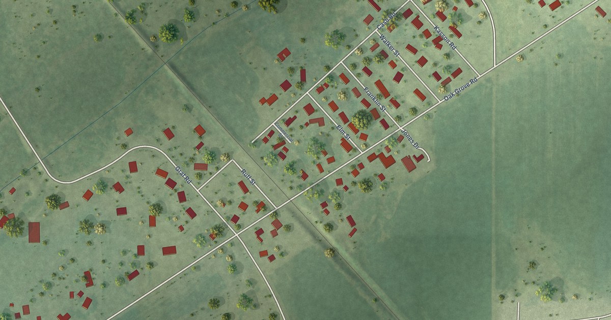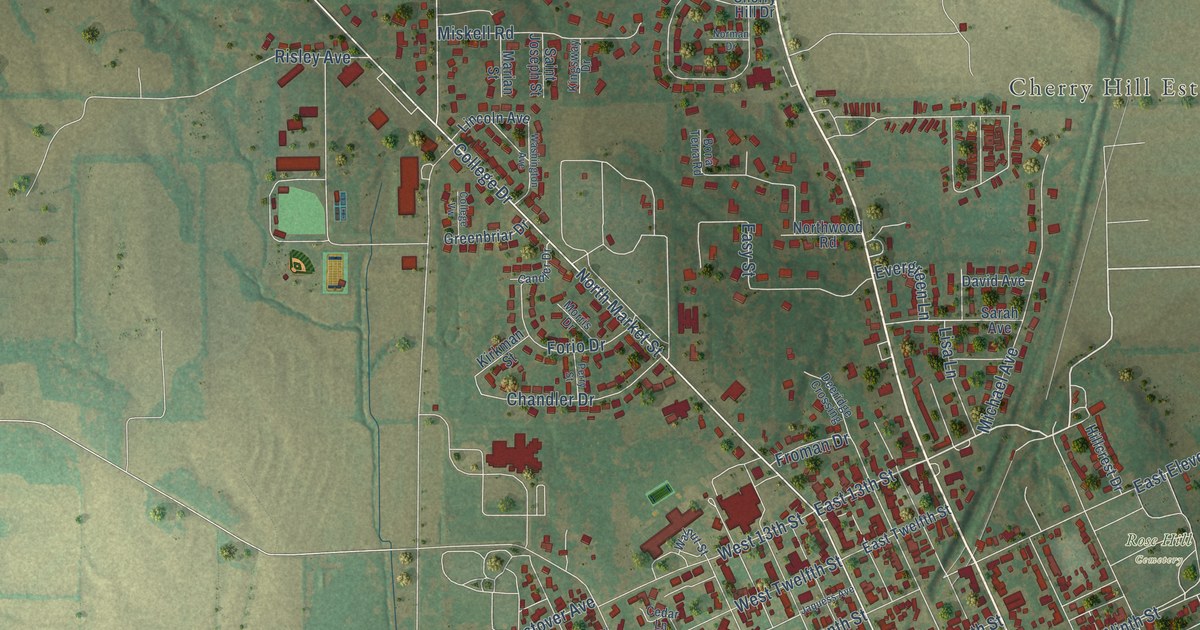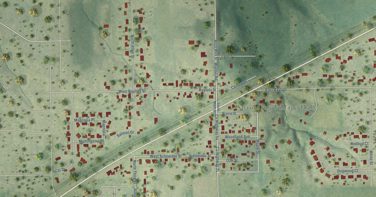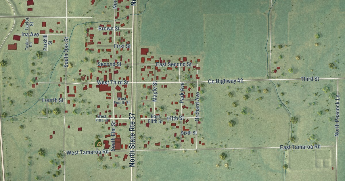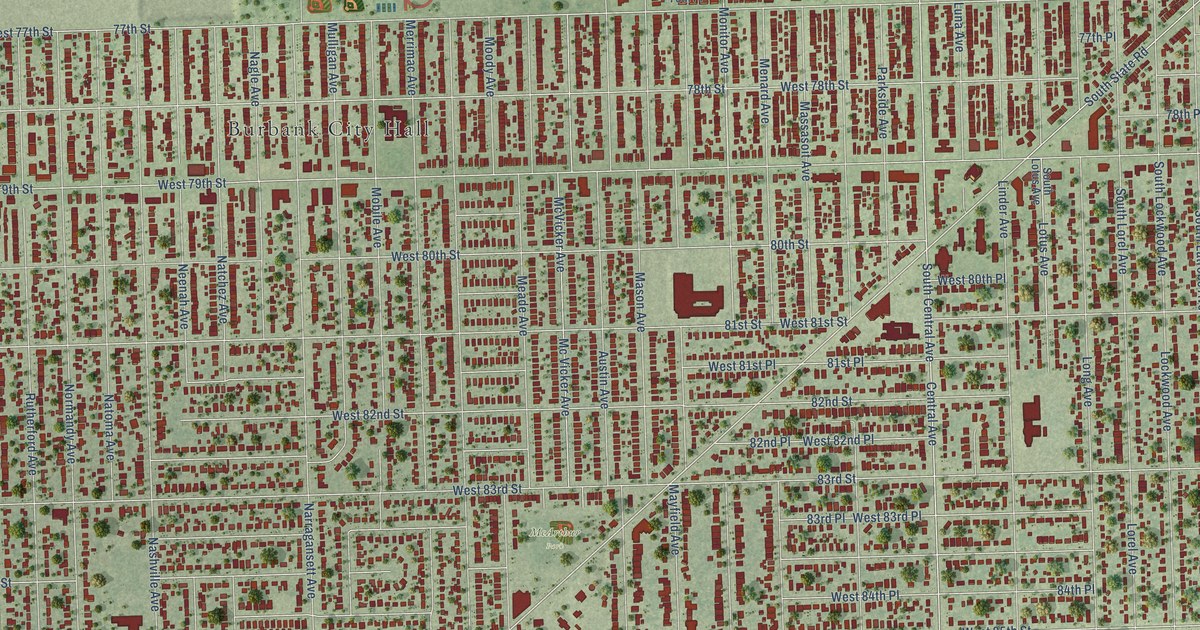
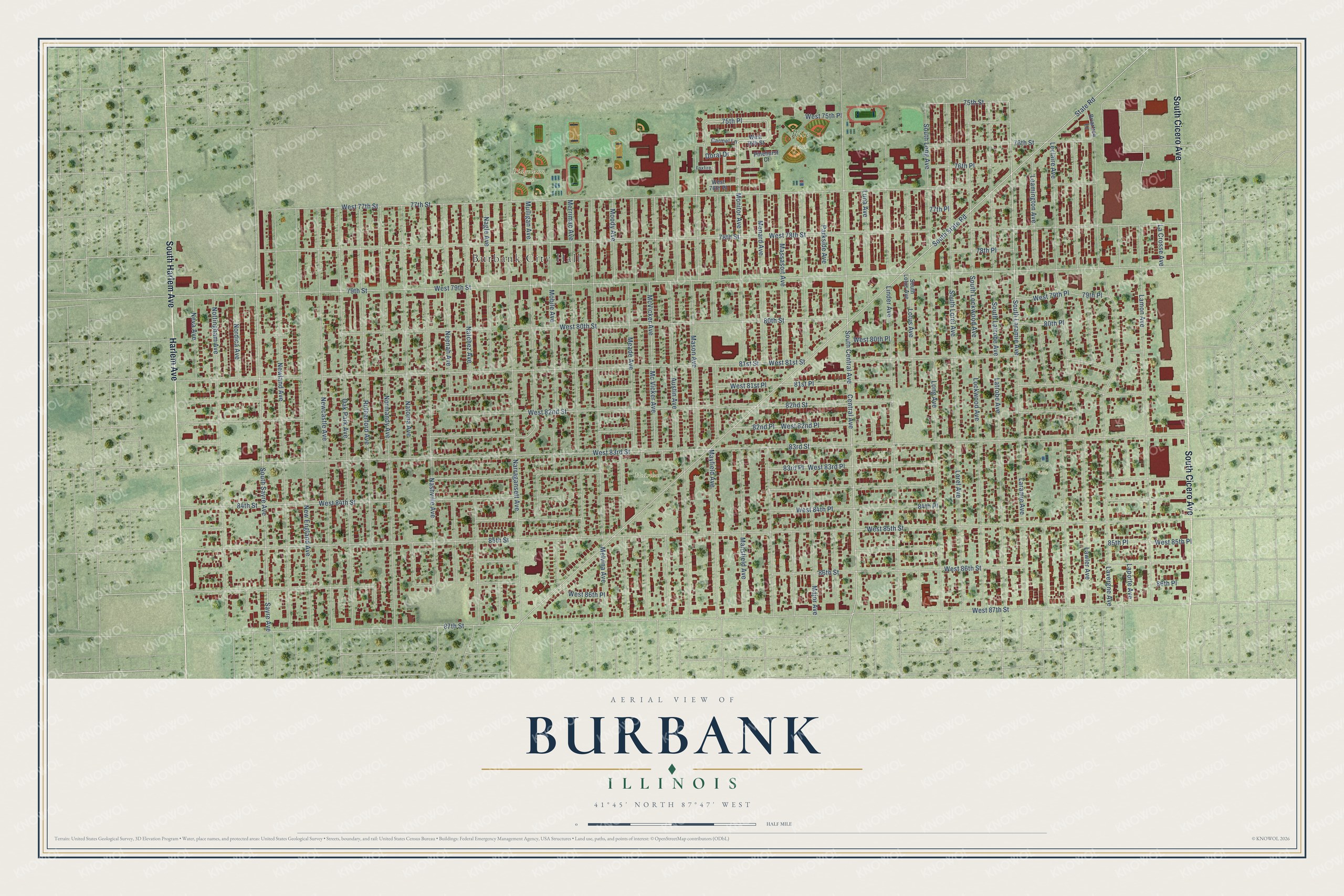
This beautifully detailed map of Burbank, Illinois was created in 2026 using aerial imagery combined with modern topographical, census, street and landmark data. It’s a one-of-a-kind view of Burbank that combines accurate data with a vintage aesthetic. The map shows every building in its true location, many of the roads carry their names, and the shaded topographic relief shows the shape of the land.
Explore an aerial view of Burbank, Illinois
On the map you’ll find Burbank City Hall, Rice Park, Ridgeland Park, Harr Park, McArthur Park, 75th Place, and West 75th Place, along with South Cicero Avenue, Harlem Avenue, South Harlem Avenue, Monitor Avenue, Mansfield Avenue, and more. If you look closely you can even find your house accurately drawn in its correct location. Zoom in on the preview to look for yours.
Did you know this piece of Burbank, Illinois history?
From the Encyclopedia of Chicago: "The Burbank area contained scattered farms when in 1850 it became the southeastern portion of Lyons Township."
Take a closer look at the Burbank map
Street and place names on the Burbank, Illinois map
These names are printed on the map of Burbank, Illinois.
Places: Burbank City Hall, Rice Park, Ridgeland Park, Harr Park and McArthur Park.
Streets and roads: South Cicero Avenue, Harlem Avenue, South Harlem Avenue, Monitor Avenue, Mansfield Avenue, 75th Place, West 75th Place, State Road, South Laramie Avenue, Central Avenue, South Sayre Avenue, 75th Street.
More street names, A to Z
76th Place, 76th Street, 77th Place, 77th Street, 78th Place, 78th Street, 79th Place, 79th Street, 80th Place, 80th Street, 81st Place, 81st Street, 82nd Place, 82nd Street, 83rd Place, 83rd Street, 84th Place, 84th Street, 85th Place, 85th Street, 86th Place, 86th Street, 87th Street, Austin Avenue, Briartree Lane, Carmel Lane, Doral Drive, Foxfire, La Crosse Avenue, Lamon Avenue, Laporte Avenue, Laramie Avenue, Latrobe Avenue, Lavergne Avenue, Lawler Avenue, Leamington Avenue, Leclaire Avenue, Linder Avenue, Lockwood Avenue, Long Avenue, Lorel Avenue, Lotus Avenue, Luna Avenue, Major Avenue, Mason Avenue, Massasoit Avenue, Mayfield Avenue, Mc Vicker Avenue, McVicker Avenue, Meade Avenue, Melvina Avenue, Menard Avenue, Merrimac Avenue, Mobile Avenue, Moody Avenue, Mulligan Avenue, Nagle Avenue, Narragansett Avenue, Nashville Avenue, Natchez Avenue, Natoma Avenue, Neenah Avenue, Neva Avenue, Newcastle Avenue, New England Avenue, Newland Avenue, Nordica Avenue, Normandy Avenue, Nottingham Avenue, Oak Park Avenue, Parkside Avenue, Pinehurst Court, Rutherford Avenue, Sayre Avenue, South Central Avenue, South Latrobe Avenue, South Lockwood Avenue, South Long Avenue, South Lorel Avenue, South Lotus Avenue, South State Road, West 76th Place, West 76th Street, West 77th Street, West 78th Street, West 79th Place, West 79th Street, West 80th Place, West 80th Street, West 81st Place, West 81st Street, West 82nd Place, West 82nd Street, West 83rd Place, West 83rd Street, West 84th Place, West 84th Street, West 85th Place, West 85th Street, West 86th Place, West 86th Street, West 87th Street.
See the Burbank, Illinois map on a wall
The Burbank map as an 18 x 24 inch print in a black frame.

This beautifully detailed map of Burbank makes an attractive addition to your office, library, or den, and it can even be used to teach children the geography and history of the area. It also makes a great gift for anyone who grew up in Burbank or moved away. When you’re done exploring, click here to get your copy of the Burbank map.