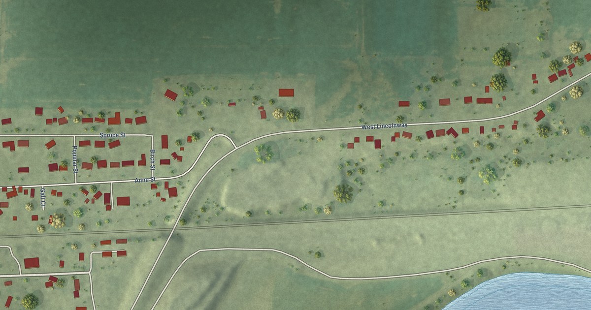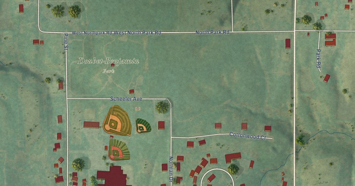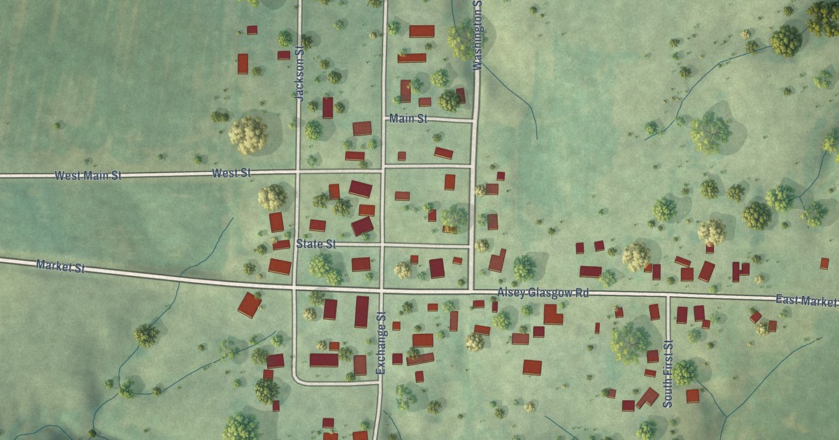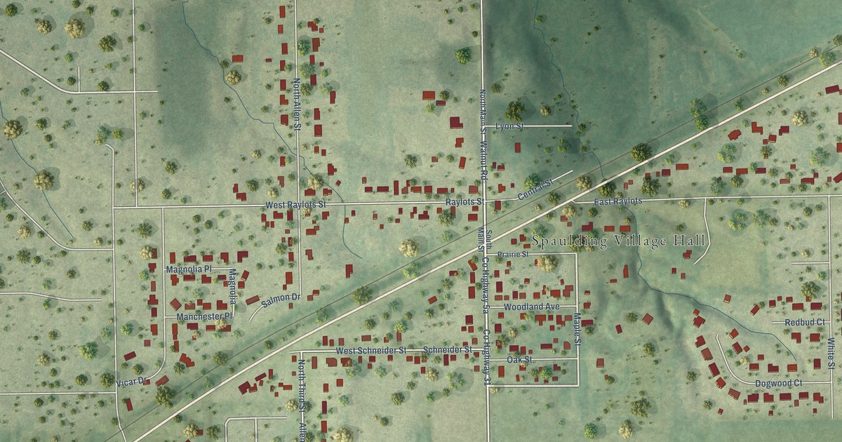
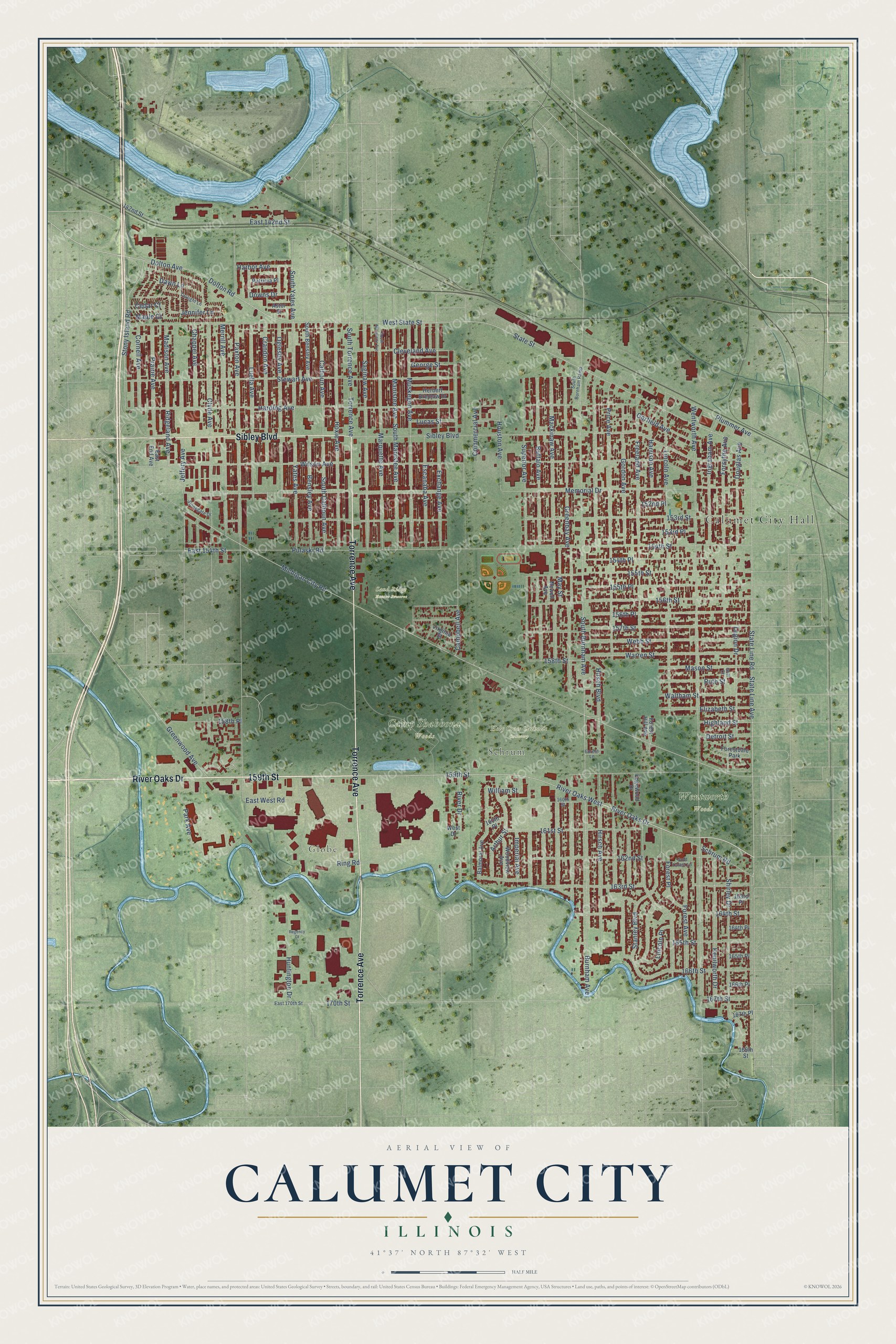
This beautifully detailed map of Calumet City, Illinois was created in 2026 using aerial imagery combined with modern topographical, census, street and landmark data. It’s a one-of-a-kind view of Calumet City that combines accurate data with a vintage aesthetic. The map shows every building in its true location, many of the roads carry their names, and the shaded topographic relief shows the shape of the land.
Explore an aerial view of Calumet City, Illinois
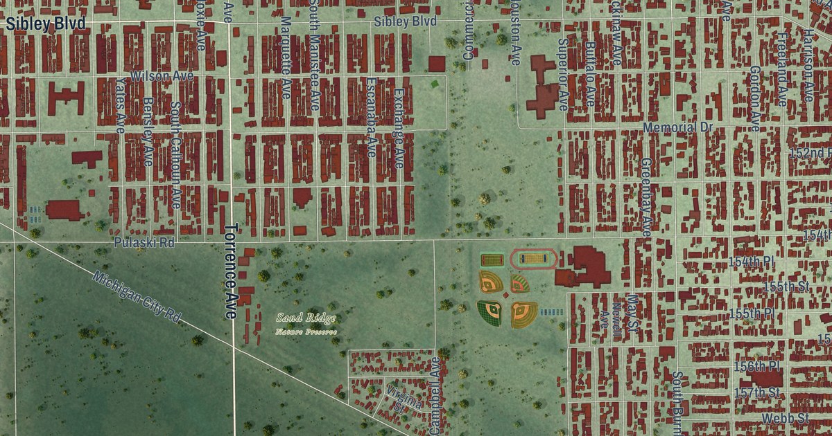
On the map you’ll find Calumet City Hall, Globe, Schrum, Camp Shabbona Woods, Holy Cross Catholic Cemetery, Sand Ridge Nature Preserve, Wentworth Woods, and River Oaks West, along with 159th Street, River Oaks Drive, Torrence Avenue, Sibley Boulevard, and more. If you look closely you can even find your house accurately drawn in its correct location. Zoom in on the preview to look for yours.
Did you know this piece of Calumet City, Illinois history?
From the Calumet City Historical Society: "Before Calumet City was settled by European pioneers, nomadic Native Americans inhabited the areas that are now home to Dirksen Middle School and the River Oaks Center."
Take a closer look at the Calumet City map
Street and place names on the Calumet City, Illinois map
These names are printed on the map of Calumet City, Illinois.
Places: Calumet City Hall, Globe, Schrum, Camp Shabbona Woods, Holy Cross Catholic Cemetery, Sand Ridge Nature Preserve, Wentworth Woods and Forestdale Park.
Streets and roads: 159th Street, River Oaks Drive, Torrence Avenue, Sibley Boulevard, River Oaks West, Jeffery Avenue, Stony Island Road, Dolton Road, East 154th Street, Michigan City Road, Dolton Avenue, Superior Avenue.
More street names, A to Z
142nd Street, 152nd Place, 153rd Place, 153rd Street, 154th Place, 154th Street, 155th Place, 155th Street, 156th Place, 156th Street, 157th Street, 158th Place, 158th Street, 160th Place, 160th Street, 161st Street, 162nd Street, 163rd Place, 163rd Street, 164th Place, 164th Street, 165th Place, 165th Street, 166th Place, 166th Street, 167th Place, 167th Street, 169th Street, 170th Street, Arthur Street, Astor Street, Balmoral Avenue, Bensley Avenue, Buffalo Avenue, Burnham Avenue, Calhoun Avenue, Campbell Avenue, Cedar Court, Chappel Avenue, Cleveland Avenue, Clyde Avenue, Commercial Avenue, Cornell Avenue, Crandon Avenue, Dawn Lane, Detroit Street, Douglas Avenue, Downs Drive, East 142nd Street, East 170th Street, East End Avenue, East West Road, Edgewood Drive, Elizabeth Street, Escanaba Avenue, Exchange Avenue, Forest Avenue, Forest Hill Avenue, Forest Lane, Forest Place, Forsythe Avenue, Freeland Avenue, Garfield Avenue, George Street, Gold Coast Lane, Golf Court, Gordon Avenue, Greenbay Avenue, Greenwood Avenue, Harbor Avenue, Harding Avenue, Harrison Avenue, Herbert Breclaw Drive, Highland Street, Hirsch Avenue, Hirsch Boulevard, Houston Avenue, Hoxie Avenue, Huntington Drive, Imperial Avenue, Ingraham Avenue, Jennifer Lane, Kenilworth Drive, Legion Drive, Lincoln Avenue, Lincoln Place, Lucas Street, Luella Avenue, Mackinaw Avenue, Madison Avenue, Manistee Avenue, Maple Court, Marquette Avenue, Mason Street, May Street, Memorial Drive, Merrill Avenue, Muskegon Avenue, Newell Avenue, Oglesby Avenue, Park Avenue, Patricia Place, Paxton Avenue, Plummer Avenue, Prairie Avenue, Price Avenue, Pulaski Road, Regency Court, Ridgeland Avenue, Ring Road, River Drive, Ruth Street, Saginaw Avenue, Schrum Road, Shirley Drive, South Bensley Avenue, South Burnham Avenue, South Burnham Ramp, South Calhoun Avenue, South Manistee Avenue, South Marquette Avenue, South Torrence Avenue, South Yates Avenue, Stanley Boulevard, State Line Avenue, State Line Road, State Street, Stewart Avenue, Stonegate Drive, Twilight Lane, Virginia Street, Waltham Street, Warren Street, Webb Street, Wentworth Avenue, West Drive, West State Street, William Street, Wilson Avenue, Woodview Avenue, Yates Avenue.
See the Calumet City, Illinois map on a wall
The Calumet City map as an 18 x 24 inch print in a black frame.

This beautifully detailed map of Calumet City makes an attractive addition to your office, library, or den, and it can even be used to teach children the geography and history of the area. It also makes a great gift for anyone with Calumet City roots. When you’re done exploring, click here to get your copy of the Calumet City map.