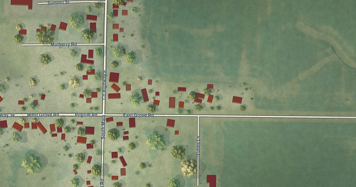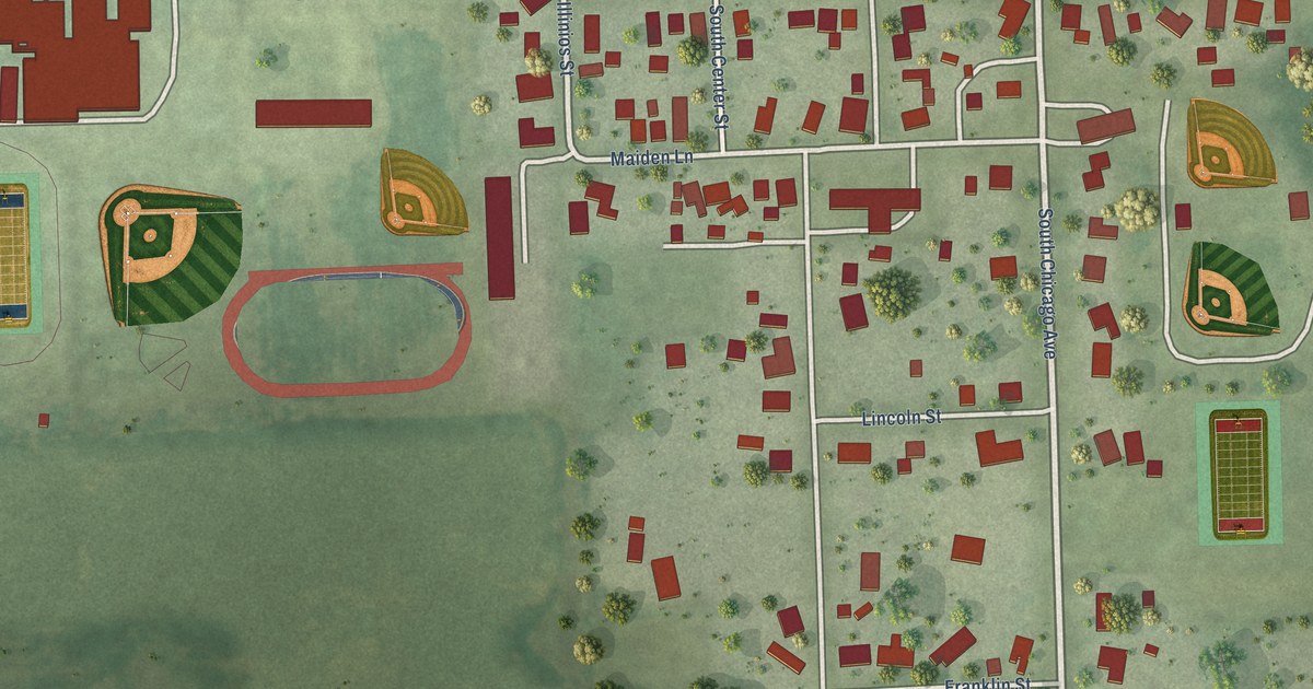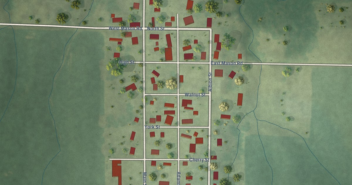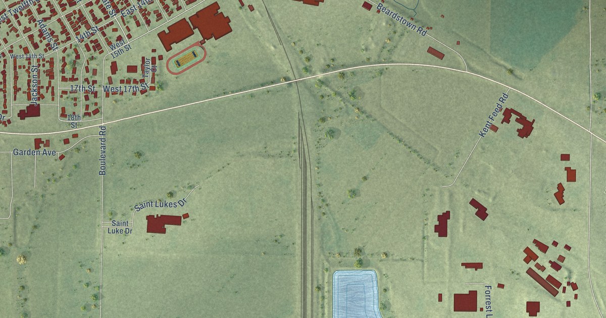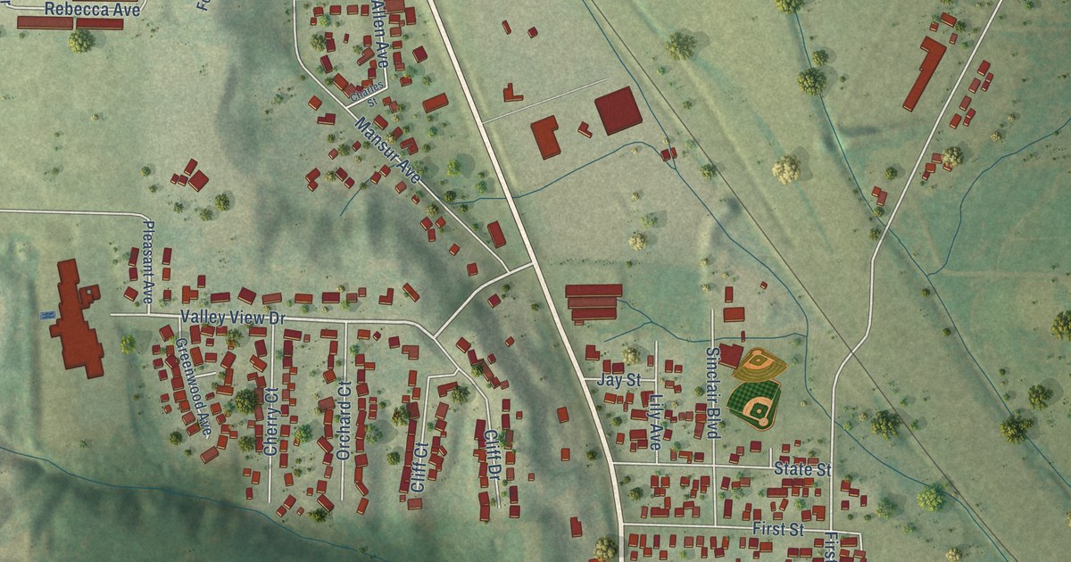
This beautifully detailed map of Carbon Cliff, Illinois was created in 2026 using aerial imagery combined with modern topographical, census, street and landmark data. It’s a one-of-a-kind view of Carbon Cliff that combines accurate data with a vintage aesthetic. The map shows every building in its true location, many of the roads carry their names, and the shaded topographic relief shows the shape of the land.
Explore an aerial view of Carbon Cliff, Illinois
On the map you’ll find Carbon Cliff Village Hall, along with North Second Avenue, John Deere Road, First Avenue, Colona Road, Valley View Drive, South First Avenue, Rebecca Drive, North First Avenue, Tenth Street, 36th Avenue, Rebecca Avenue, and more. If you look closely you can even find your house accurately drawn in its correct location. Zoom in on the preview to look for yours.
Did you know this piece of Carbon Cliff, Illinois history?
From the Village of Carbon Cliff: "On December 8, 1906, the inhabitants of the community gathered to vote on whether or not Carbon Cliff would become a village. With a vote of 55 to 28 in favor of the proposition, Carbon Cliff had become its own entity."
Take a closer look at the Carbon Cliff map
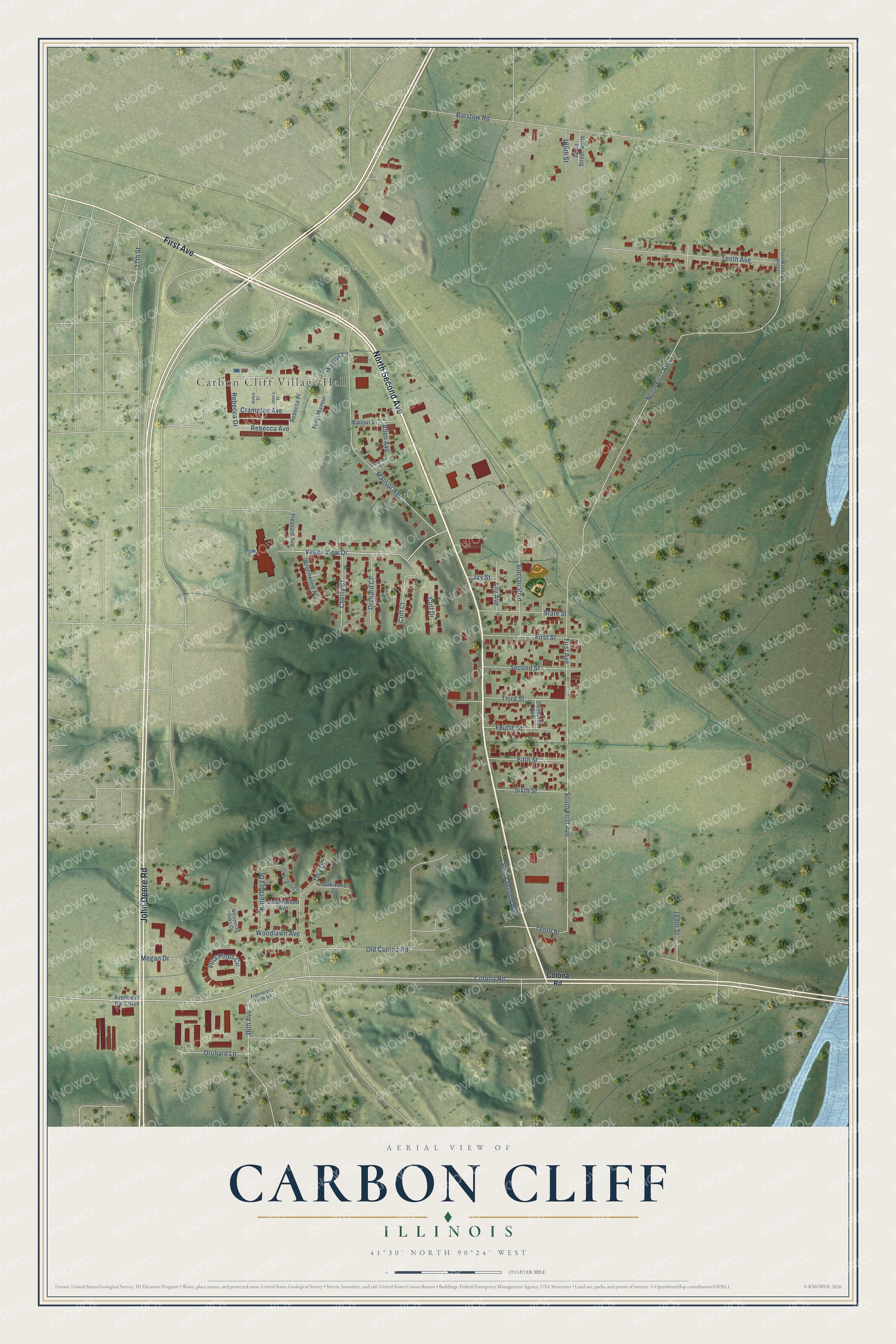
Street and place names on the Carbon Cliff, Illinois map
These names are printed on the map of Carbon Cliff, Illinois.
Places: Carbon Cliff Village Hall.
Streets and roads: North Second Avenue, John Deere Road, First Avenue, Colona Road, Valley View Drive, South First Avenue, Rebecca Drive, North First Avenue, Tenth Street, 36th Avenue, Rebecca Avenue, Mansur Avenue.
More street names, A to Z
17th Street, 165th Street, 165th Street North, 169th Street, 172nd Street North, Allen Avenue, Avenue of the Cities, Barstow Road, Charles Street, Cherry Court, Cliff Court, Cliff Drive, Crampton Avenue, Denhardt Avenue, Fifth Street, First Street, Foret Mansur, Fourth Street, Friendship Farm Road, Greenwood Avenue, Jay Street, John's Place, Kingsbury Drive, Kohrs Drive, Lily Avenue, Lincolnwood Drive, Lindenwood Avenue, Mansur Lane, Mansur Street, Megan Drive, Oakwood Court, Old Colona Road, Orchard Court, Orchard Lane, Pleasant Avenue, Rebecca Place, Second Street, Sinclair Boulevard, Sixth Street, South Second Avenue, State Street, Tenth Avenue, Third Street, Troy Drive, Villa Pines Circle, Whispering Oaks Court, Woodlawn Avenue.
See the Carbon Cliff, Illinois map on a wall
The Carbon Cliff map as an 18 x 24 inch print in a black frame.

This beautifully detailed map of Carbon Cliff makes an attractive addition to your office, library, or den, and it can even be used to teach children the geography and history of the area. It also makes a great gift for someone who left Carbon Cliff and still calls it home. When you’re done exploring, click here to get your copy of the Carbon Cliff map.