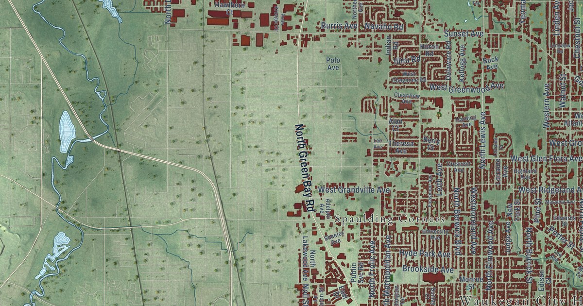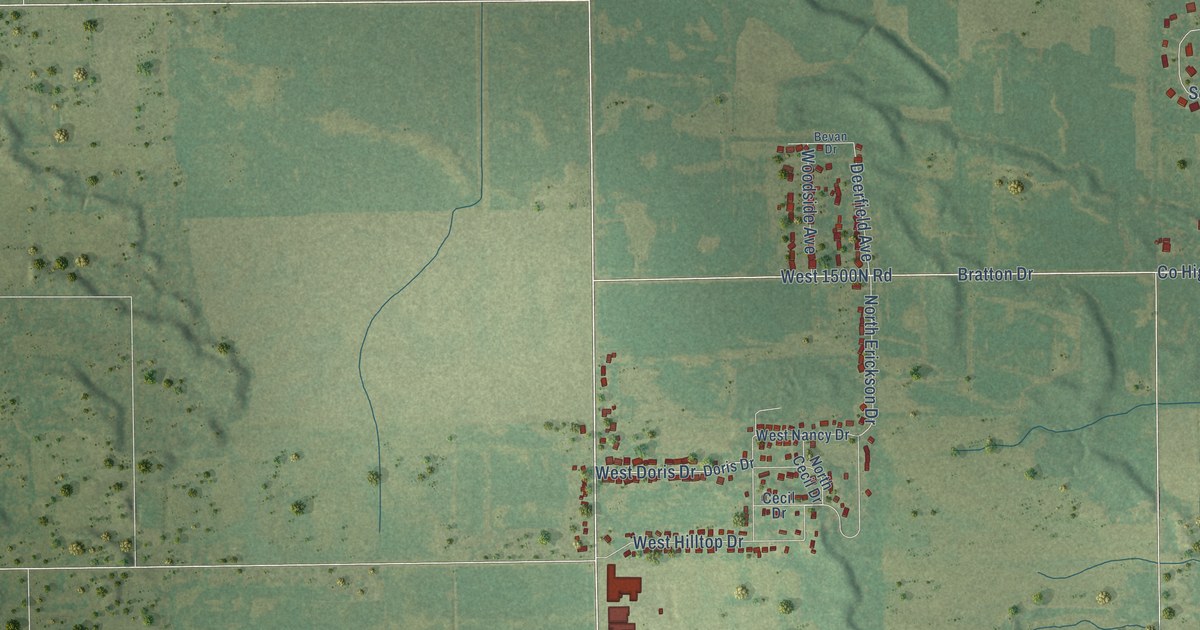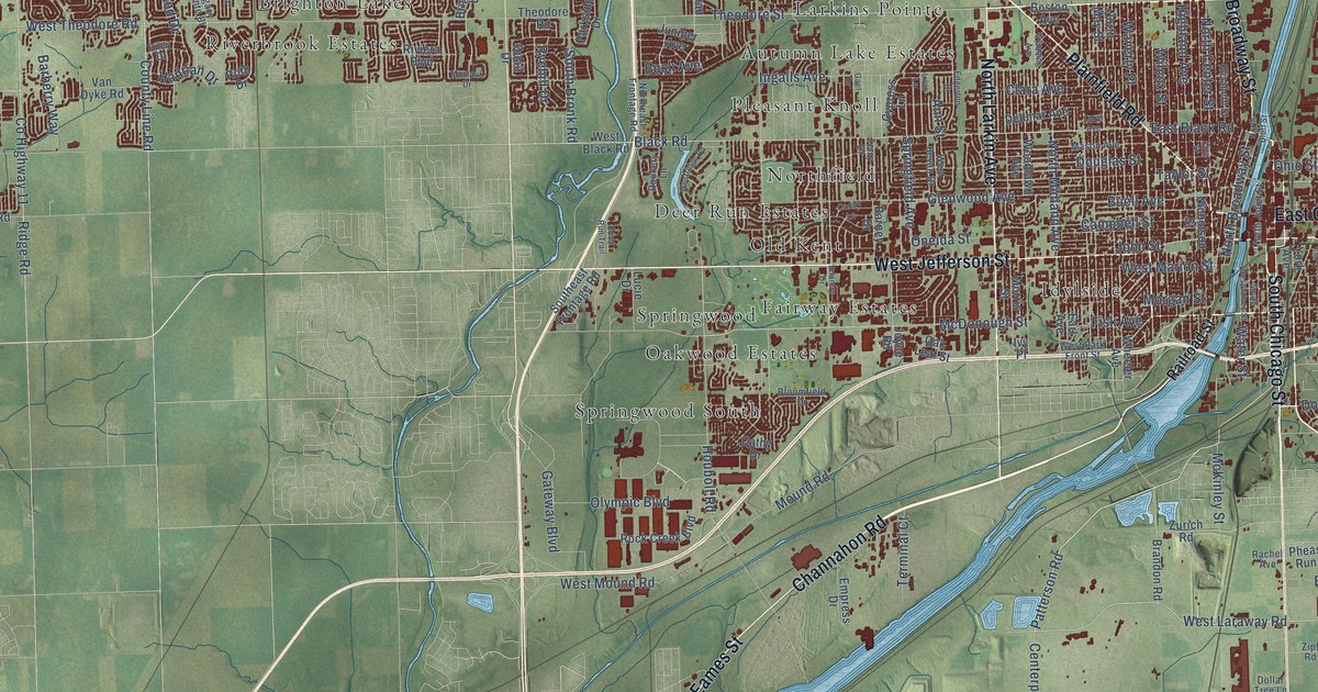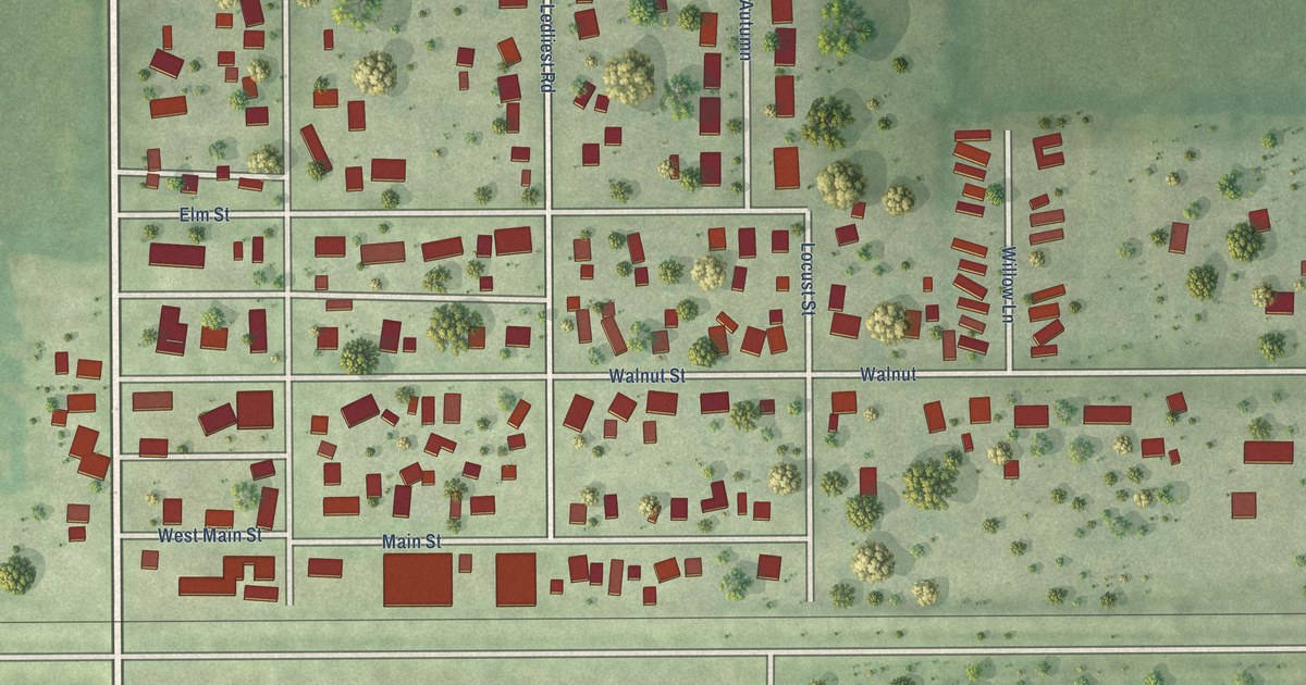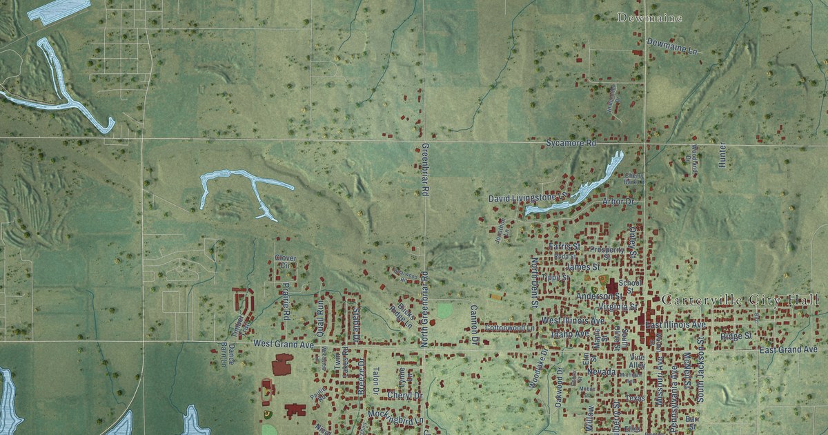
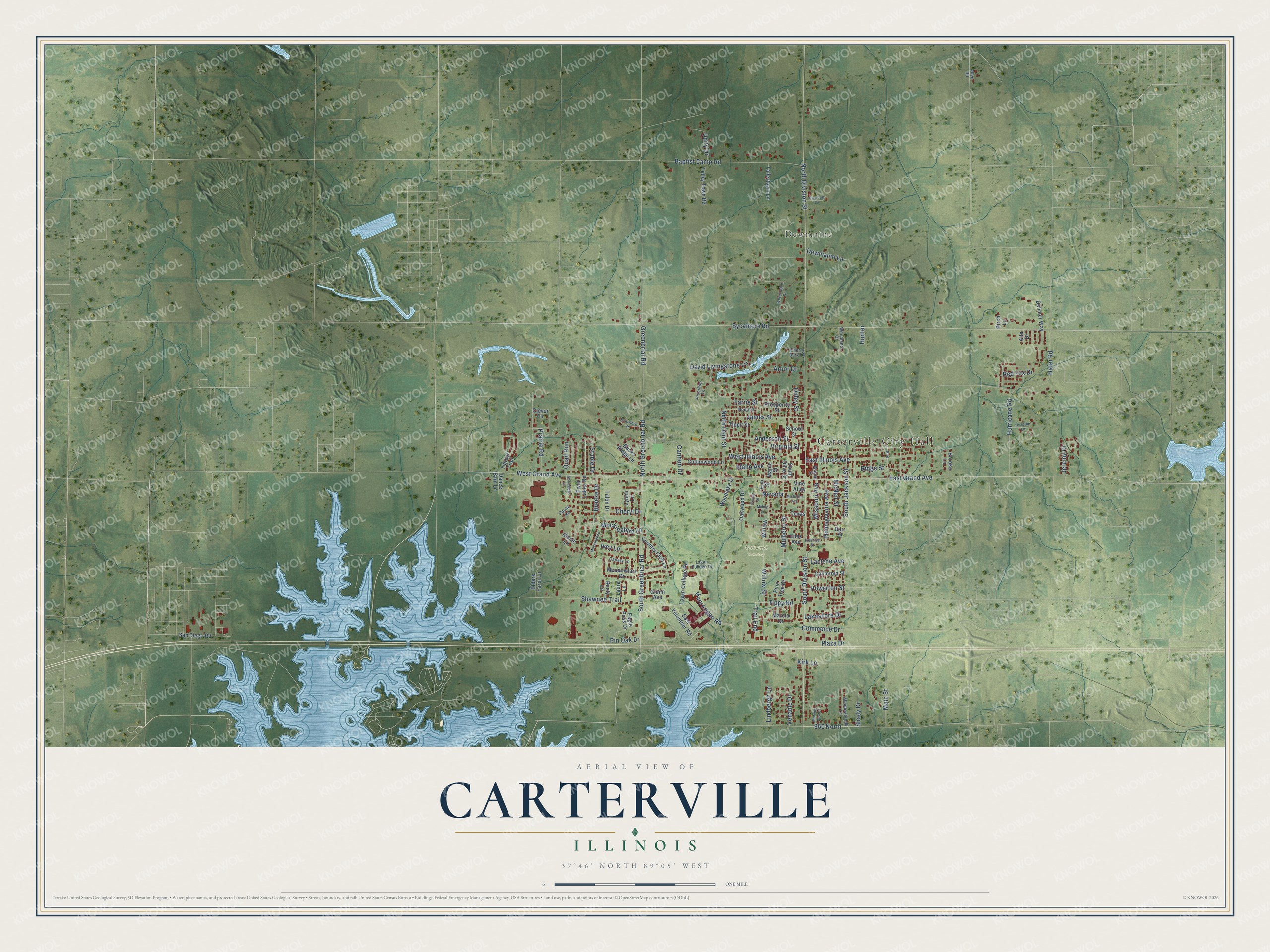
This beautifully detailed map of Carterville, Illinois was created in 2026 using aerial imagery combined with modern topographical, census, street and landmark data. It's a modern aerial view of Carterville in Williamson County, Illinois, that combines modern data with a vintage aesthetic. The roads feature printed names, and if you look closely you can find your exact house accurately shown in its correct location.
Explore an aerial view of Carterville, Illinois
On this map you'll find Carterville City Hall, Dewmaine, Oakwood Cemetery, Sycamore Road, South Greenbriar Road, West Grand Avenue, South Division Street, North Greenbriar Road, 950 North, North Division Street, Hafer Road, East Grand Avenue, and more. Each red shape is a building, so zoom in on the preview and look for yours.
Every town has a first chapter, and Carterville is no exception. The Historical Encyclopedia of Illinois puts it this way: "CARTERVILLE, a city in Williamson County, 10 miles by rail northwest of Marion. Coal mining is the principal industry."
Carterville is a city in Williamson County. The Census Bureau counted 5,848 people here in 2020.
Take a closer look at the Carterville map
Names on this map
These names are printed on this map.
Places: Carterville City Hall, Dewmaine and Oakwood Cemetery.
Streets and roads: Sycamore Road, South Greenbriar Road, West Grand Avenue, South Division Street, North Greenbriar Road, 950 North, North Division Street, Hafer Road, East Grand Avenue, Baptist Camp Road, Greenbriar Road, Willow.
More street names, A to Z
Allen Road, Alta Drive, Anderson Street, Arbor Drive, Barr Street, Birch Lane, Bird, Breeze Drive, Briarwood Road, Brooke Lane, Bucks Ridge Lane, California Street, Canary Lane, Cannon Drive, Center Street, Cherry Bark Lane, Cheryl Drive, Clover Circle, Commerce Drive, Cottonwood Lane, Country Club Lane, Dahmer Way, Dance Barn Lane, David Livingstone Lane, Dewmaine Lane, Eagle Pass Drive, East Illinois Avenue, East Volunteer Road, Elders Farm Lane, Elles Avenue, Elm Street, Farris Street, Forsythe Lane, Glenn Avenue, Howerton Street, Hunter, Hurricane Road, Idaho Avenue, Ivey Lane, James Street, Jeremy Drive, Jonathon Lane, Kirk Lane, Laclede Avenue, Lakeshore Drive, Laura Lane, Lindbergh Lane, Logan College Drive, Logan College Road, Lynne Lane, Main Street, Maple Street, Marcia Drive, Mary Logan Road, McNeil Street, Meadowbrook Lane, Meadowlark Drive, Michigan Avenue, Missouri Avenue, Mobile Drive, Mockingbird, Mockingbird Lane, Morning Dew Court, Mulberry Street, Nevada, Nicole Lane, North Dent Street, Oakwood Drive, Onley Street, Paulie Road, Pennsylvania Avenue, Pine Tree Drive, Pin Oak Drive, Plaza Drive, Prairie Road, Prentice Street, Prosperity Street, Quail Run, Red Fox Drive, Ridge Street, Rizwood Lane, Rodd Street, Rusty Lane, San Diego Road, School Street, Shady Drive, Shawnee Trail, South Jackson Street, South Olive Street, Stable Drive, Talleytown Lane, Talley Town Road, Talon Drive, Texas, Timber Trail, Tippit Street, Tippy Road, Trail End, Twin Lakes Road, Unity Drive, Venable Drive, Vine Alley, Virginia Street, Walnut Street, West Illinois Avenue, Whitecotton Drive, Willow Street, Woodlake Drive, Woodland Drive, Woodview Lane.
Created by KNOWOL in 2026. The buildings are small red shapes, the roads carry their printed names, and shaded relief shows the shape of the land. The title panel reads "AERIAL VIEW OF CARTERVILLE ILLINOIS" with 37°46' NORTH 89°05' WEST.
Hang it in the hallway, the office or the cabin, or give it to someone who left Carterville and still calls it home. Open the preview and look for a street you know. See sizes and frames for the Carterville map.