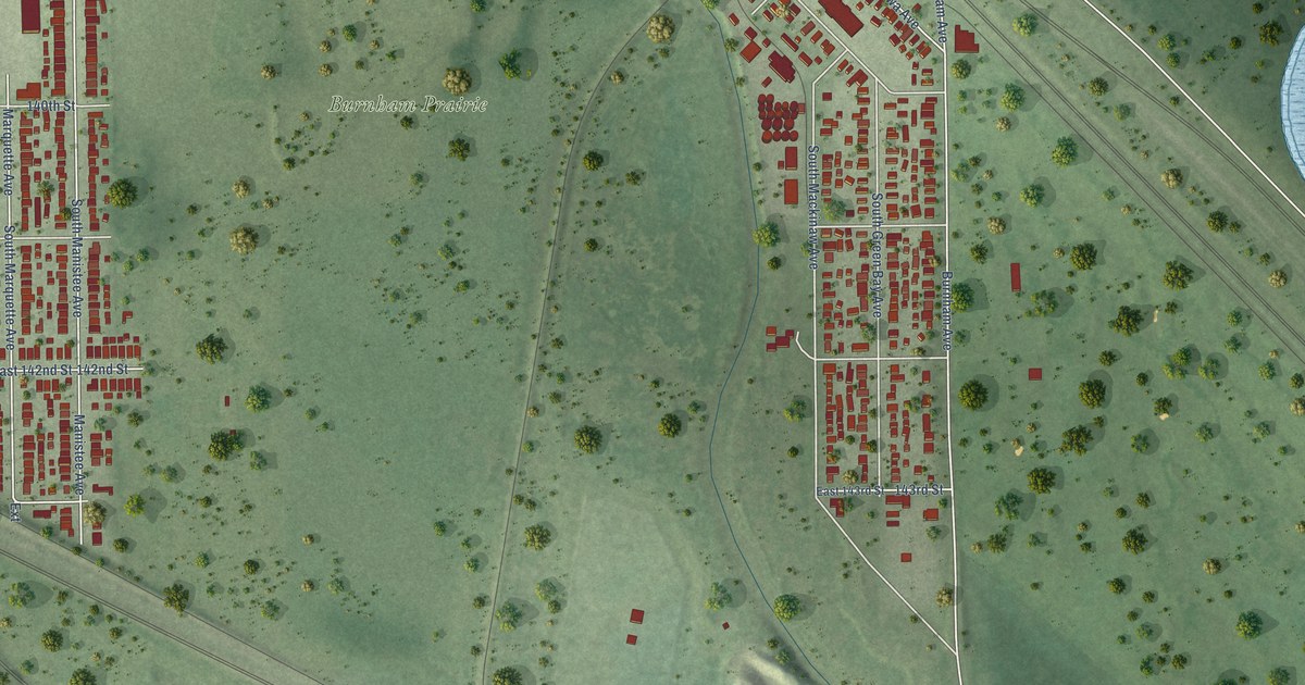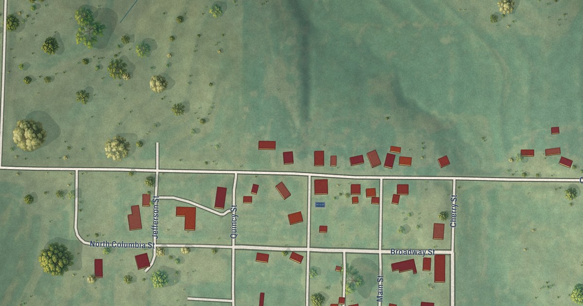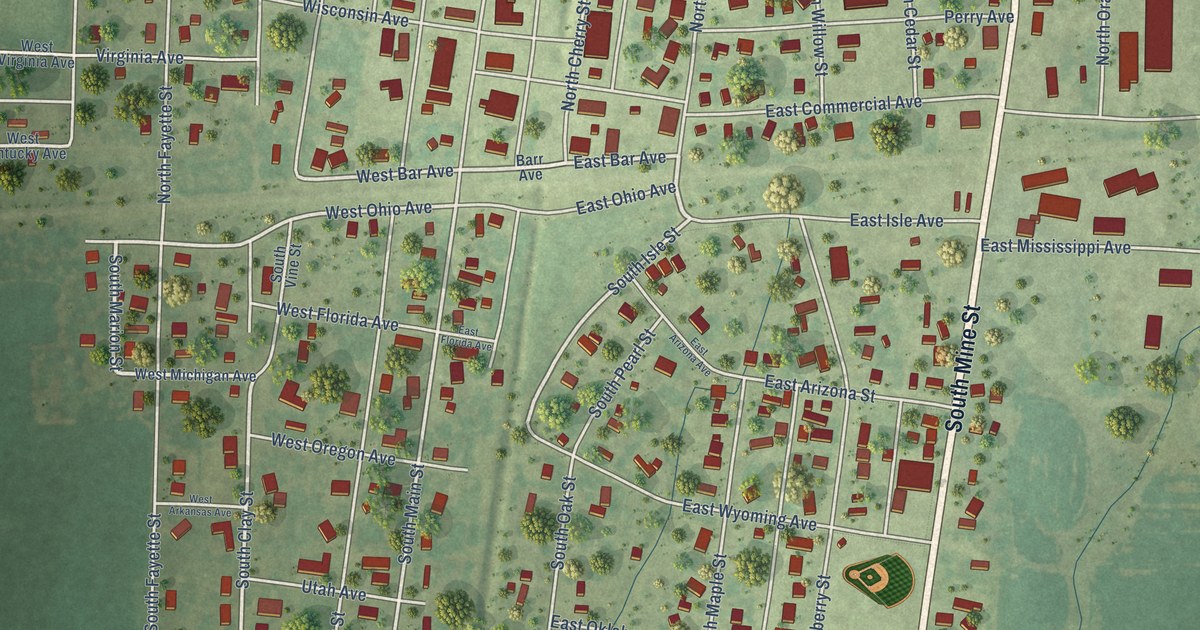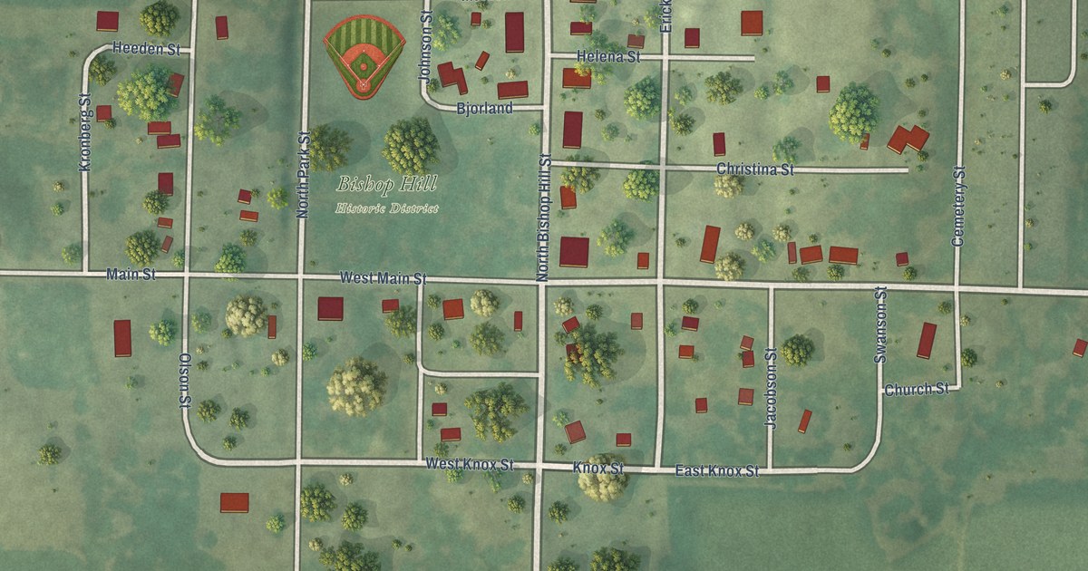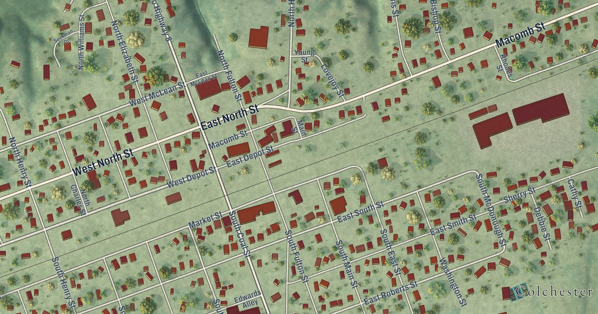
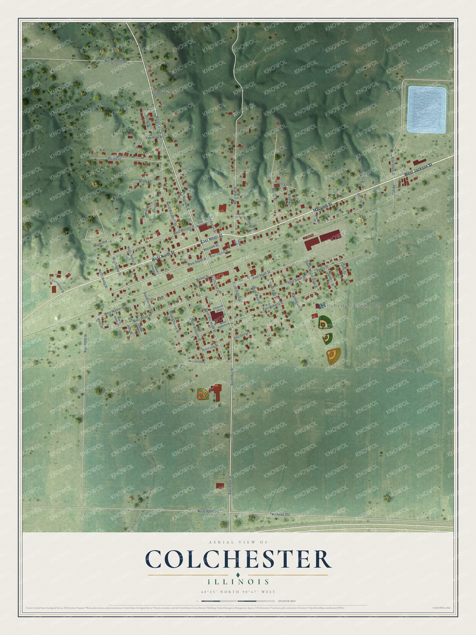
This beautifully detailed map of Colchester, Illinois was created in 2026 using aerial imagery combined with modern topographical, census, street and landmark data. It's a modern aerial view of Colchester in McDonough County, Illinois, that combines modern data with a vintage aesthetic. The roads feature printed names, and if you look closely you can find your exact house accurately shown in its correct location.
Explore an aerial view of Colchester, Illinois
On this map you'll find Colchester Town Hall, Friendway Park, East North Street, West Jackson Street, Macomb Street, West North Street, North Coal Street, West Depot Street, South Coal Street, Co Highway 8, East 600th Street, North Amity Street, and more. Each red shape is a building, so zoom in on the preview and look for yours.
Colchester has a story worth telling. The Historical Encyclopedia of Illinois puts it this way: "Coal abounds in the surrounding region, more than 100,000 tons being mined annually, much of which is shipped from Colchester."
Colchester is a city in McDonough County. The Census Bureau counted 1,108 people here in 2020.
Take a closer look at the Colchester map
Names on this map
These names are printed on this map.
Places: Colchester Town Hall and Friendway Park.
Streets and roads: East North Street, West Jackson Street, Macomb Street, West North Street, North Coal Street, West Depot Street, South Coal Street, County Highway 8, East 600th Street, North Amity Street, West McLean Street, Twp Road 253.
More street names, A to Z
Bishop Street, Burris Street, Cathy Street, Colt Road, Constitution Street, Debbie Street, East 550th Street, East 650th Street, East Depot Street, East George Street, East McLean Street, East Roberts Street, East Smith Street, East South Street, Edwards Alley, Harrison Alley, Honey Lane, Husband Lane, Jean Street, Jeremy Lane, Lovejoy Street, Main Street, Maple Avenue, Market Street, Morris Street, North 900th Road, North 1050th Road, North Allen Street, North Charles Street, North Elizabeth Street, North Fulton Street, North Henry Street, North Hun Street, North Williams Street, Porter Street, Rhodes Street, Seckman Drive, Shady Lane, Sherman Street, Sherry Street, South Allen Street, South Amity Street, South Charles Street, South East Street, South Elizabeth Street, South Fulton Street, South Henry Street, South Hun Street, South Main Street, South McDonough Street, South Williams Street, Valentine Place, Washington Street, West Lee Street, West Market Street, West Roberts Street, West South Street, West Street, Young Street.
Created by KNOWOL in 2026. The buildings are small red shapes, the roads carry their printed names, and shaded relief shows the shape of the land. The title panel reads "AERIAL VIEW OF COLCHESTER ILLINOIS" with 40°25' NORTH 90°47' WEST.
It looks right in a kitchen, an office or a den, and it's a gift for anyone who grew up in Colchester or moved away. Open the preview and find your street. See sizes and frames for the Colchester map.