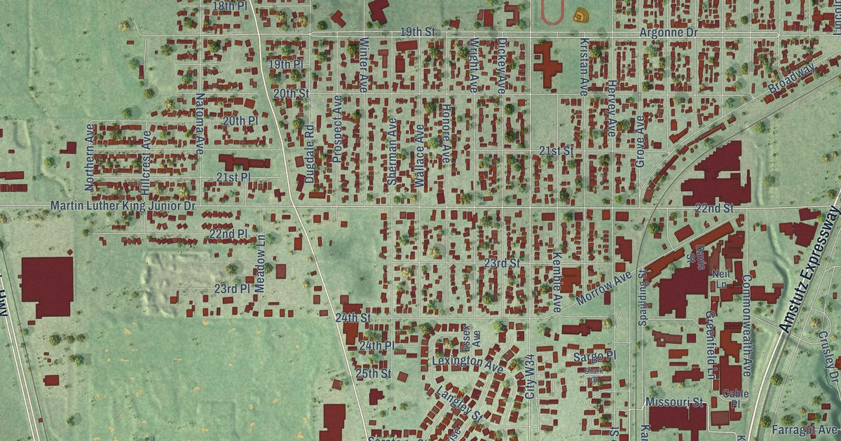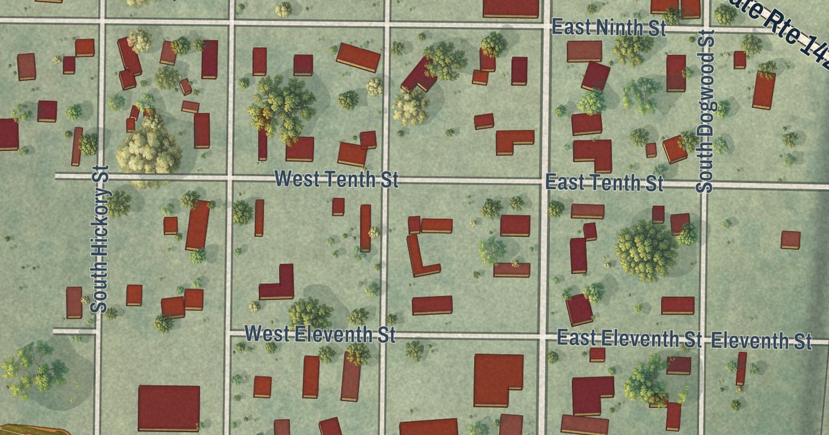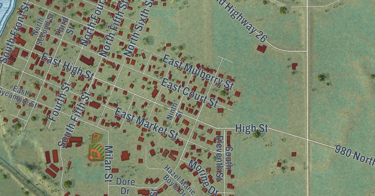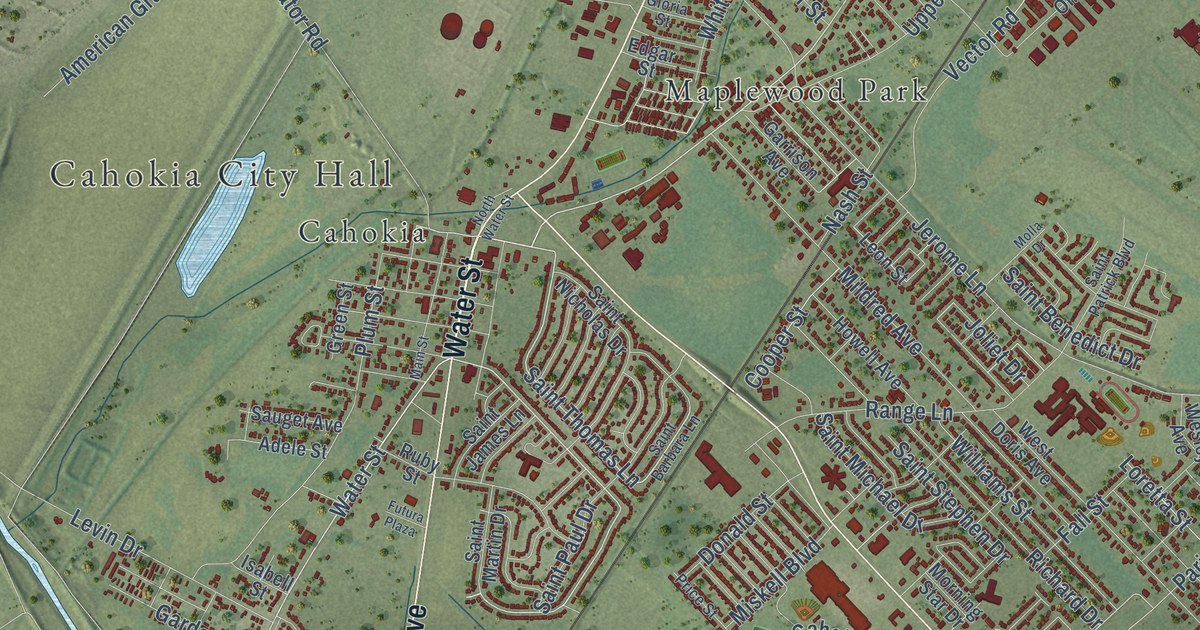
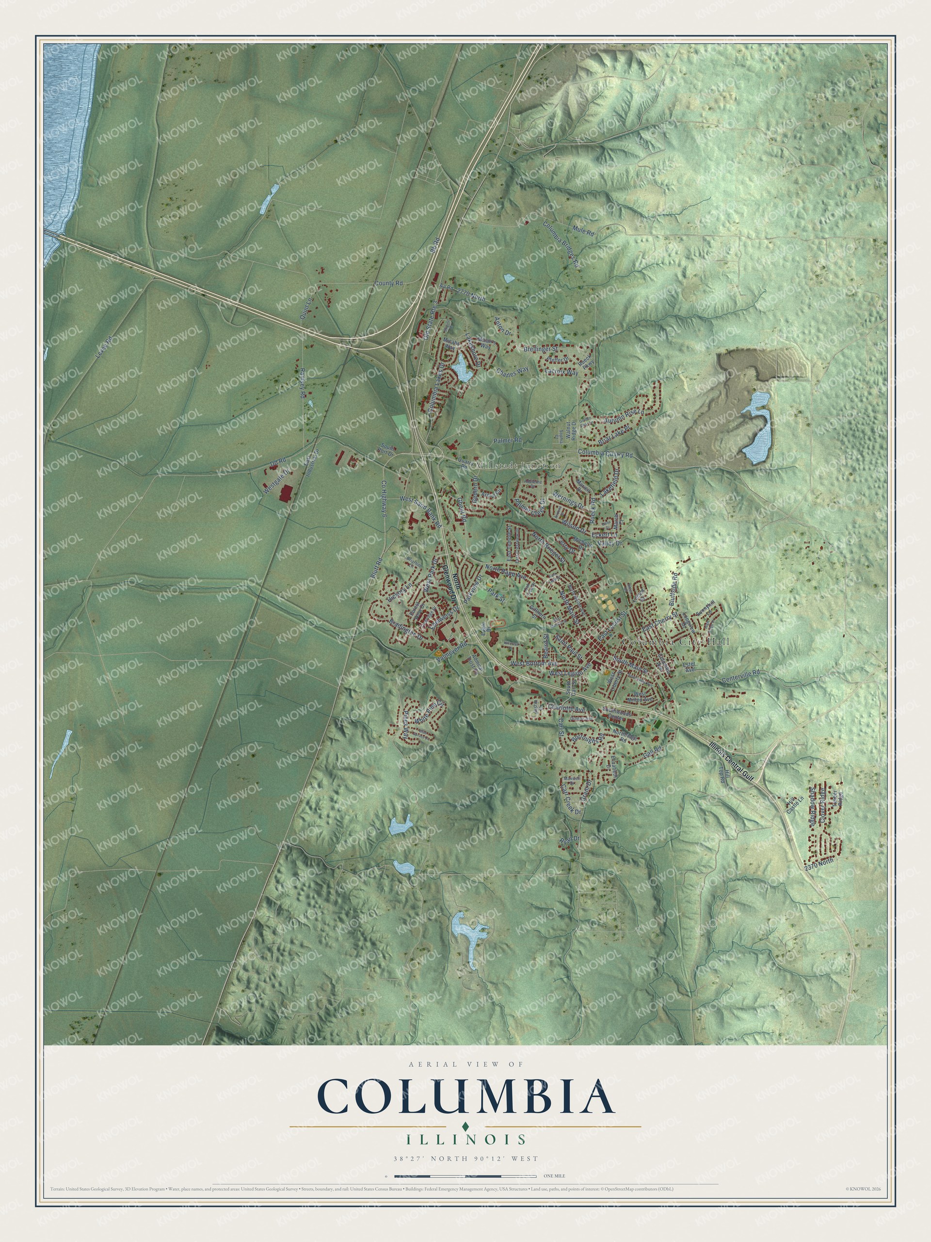
This beautifully detailed map of Columbia, Illinois was created in 2026 using aerial imagery combined with modern topographical, census, street and landmark data. It’s a one-of-a-kind view of Columbia that combines accurate data with a vintage aesthetic. The map shows every building in its true location, many of the roads carry their names, and the shaded topographic relief shows the shape of the land.
Explore an aerial view of Columbia, Illinois
On the map you’ll find Columbia City Hall, Millstadt Junction, Columbia Golf Club, Fairfield Golf Club, and Illinois Central Gulf, along with South Main Street, Bb Road, Ghent Road, West Legion Avenue, Columbia Quarry Road, North Main Street, County Road, and more. If you look closely you can even find your house accurately drawn in its correct location. Zoom in on the preview to look for yours.
Did you know this piece of Columbia, Illinois history?
From the City of Columbia: "Some of Clark's men were the early settlers of Columbia, who brought their families from Virginia and Maryland to Columbia about 1793-1795."
Take a closer look at the Columbia map
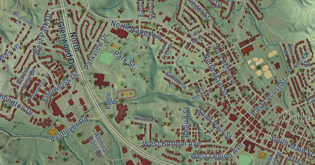
Street and place names on the Columbia, Illinois map
These names are printed on the map of Columbia, Illinois.
Places: Columbia City Hall and Millstadt Junction.
Streets and roads: Palmer Road, Old State Route 3, Ghent Road, Bluff Road, Columbia Quarry Road, Bb Road, West Legion Avenue, Rueck Road, South Main Street, North Main Street, Brellinger Street, County Road.
More street names, A to Z
2370 North, 2770 North, Aa Road, Adeleine Drive, Admiral Trost Road, Anton Drive, Arizona Drive, Armin Circle, Autumn Rise Lane, Beaird Street, Blue Spruce Lane, Bluffside Road, Bradington Drive, Briarhill Lane, Briar Lake Place, Burroughs Road, Carl Street, Carr Creek Drive, Centerville Road, Charles Way, Charlotte Avenue, Clover Ridge, Columbia Avenue, Columbia Bridges Road, Columbia Lakes Drive, County Highway 6, Dana Drive, Dd Road, Dianne Avenue, Eagle Drive, East Cherry Street, East Crestview Drive, East Industrial Drive, East Lepp Street, East Locust Street, East Temple Street, Eckert Lane, Edelweiss Drive, Elizabeth Drive, Ester Avenue, Forest View Drive, Gall Road, Gedern Drive, Giffhorn Street, Golden Briar Lane, Grant Drive, Hickory Lane, High Ridge Drive, Hill Castle Lane, Hillcrest Drive, Hill Top Road, Illinois Central Gulf, Justin Drive, Lacroix Way, Lakefield Drive, Lakeshore Drive, Levee Road, Locust Street, Longview Drive, March Court, Marien Drive, Maxwell Drive, Micah's Way, Micahs Way, Michelle Drive, Mule Road, North Briegel Street, North Glenwood Drive, North Metter Avenue, North Rapp Avenue, Northridge Road, Oak Tree Drive, Palmer Creek Drive, Park Street, Parkview Drive, Pfeffer Drive, Pines Way, Quarry Road, Quint Lane, Ramsey Road, Ritter Road, Rueck Parkway, Ryan Drive, Saint Paul Street, Shadow Ridge, Skyline Drive, Sophia Court, South Carl Street, South Port Drive, South Rapp Avenue, Southwoods Center, Sunnyhill Lane, Terry Drive, Timber Ridge, Treeridge Drive, Valley Drive, Valmeyer Road, Walnut Ridge Drive, Wernings Drive, West Bottom Avenue, Westgate Drive, West Liberty Street, West Milton Avenue, West Monroe Street, West Park Drive, West Sand Bank Road, White Pine Circle, Wilson Drive.
See the Columbia, Illinois map on a wall
The Columbia map as an 18 x 24 inch print in a black frame.

This beautifully detailed map of Columbia makes an attractive addition to your office, library, or den, and it can even be used to teach children the geography and history of the area. It also makes a great gift for someone who left Columbia and still calls it home. When you’re done exploring, click here to get your copy of the Columbia map.