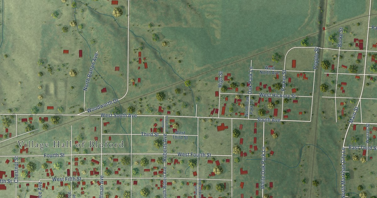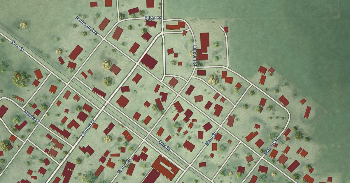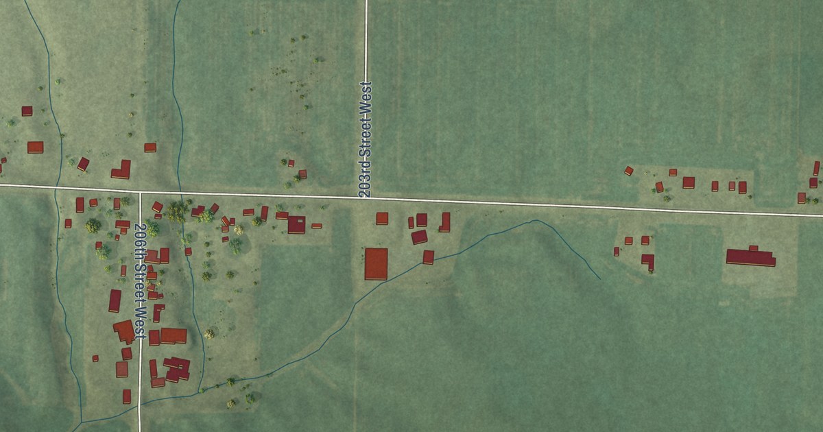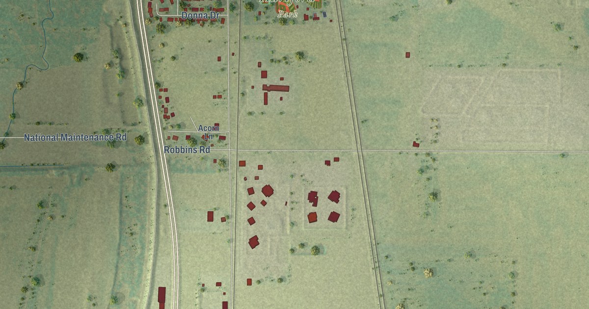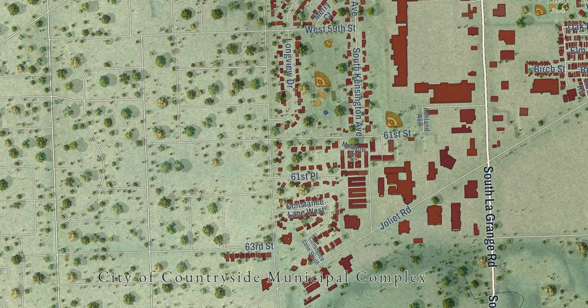
This beautifully detailed map of Countryside, Illinois was created in 2026 using aerial imagery combined with modern topographical, census, street and landmark data. It’s a one-of-a-kind view of Countryside that combines accurate data with a vintage aesthetic. The map shows every building in its true location, many of the roads carry their names, and the shaded topographic relief shows the shape of the land.
Explore an aerial view of Countryside, Illinois
On the map you’ll find City of Countryside Municipal Complex, Arie Crown Forest, Ideal Park, and Fifth Avenue Cutoff, along with South La Grange Road, East 57th Street, Willow Springs Road, Gilbert Road, Oak Drive, East Avenue, Forest Preserve Road, and more. If you look closely you can even find your house accurately drawn in its correct location. Zoom in on the preview to look for yours.
Did you know this piece of Countryside, Illinois history?
From the Historical Marker Database: "Few farms remained by the time the City of Countryside was incorporated in 1960. Fields gave way to businesses and homes fueled by the growing suburbs."
Take a closer look at the Countryside map
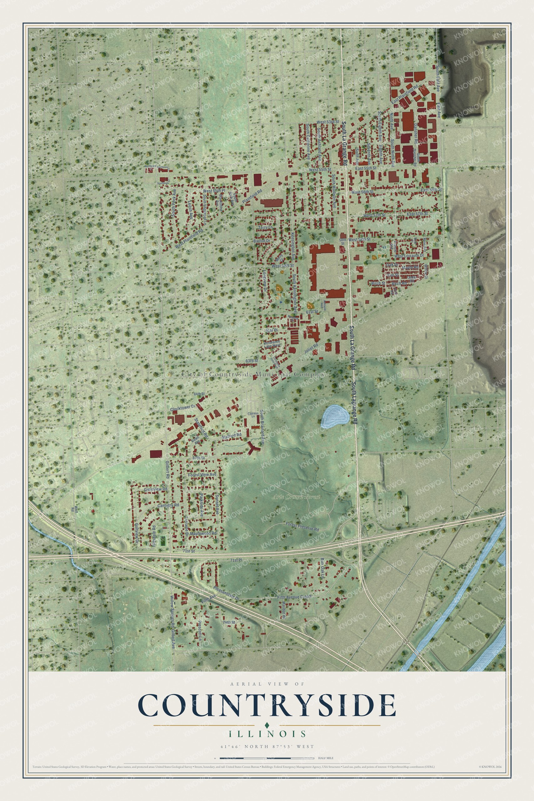
Street and place names on the Countryside, Illinois map
These names are printed on the map of Countryside, Illinois.
Places: City of Countryside Municipal Complex, Arie Crown Forest and Ideal Park.
Streets and roads: South La Grange Road, South Lagrange Road, East 57th Street, Willow Springs Road, Gilbert Road, Fifth Avenue Cutoff, Oak Drive, East Avenue, Forest Preserve Road, 71st Street, Golfview Drive, Joliet Road.
More street names, A to Z
58th Street, 61st Place, 61st Street, 63rd Street, 64th Street, 67th Street, 71st Place, 74th Street, Ashland Avenue, Barton Drive, Birch Road, Birch Street, Blackstone Avenue, Burr Oak Lane, Cantigny Road, Cedar Road, Clocktower Drive, Constance Lane South, Constance Lane West, Crestview Road, Cypress Lane, Dansher Road, Dawn Avenue, East 55th Street, East 56th Street, East Plainfield Road, Eighth Avenue, Elm Street, Fifth Avenue, Forest View Avenue, Francis Avenue, Gilbert Avenue, Hillsdale Road, Kensington Avenue, Leitch Avenue, Longview Drive, Lorraine Drive, Maple Road, Maplewood Road, Maridon Road, Meadow Drive, Merry Court, Ninth Avenue, Northeast Court, Northwest Court, Parkside Avenue, Pine Road, Plainfield Road, Pleasantdale Drive, Prescott Lane, Rose Avenue, Rose Court, Seventh Avenue, Sixth Avenue, South Ashland Avenue, South Brainard Avenue, South Catherine Avenue, South Dansher Road, South East Avenue, Southeast Court, South Edgewood Lane, South Eighth Avenue, South Kensington Avenue, South Madison Avenue, South Ninth Avenue, South Park Avenue, South Peck Avenue, Staleford Road, Stalford Road, Sunset Avenue, Terry Lane, West 53rd Street, West 55th Place, West 55th Street, West 56th Street, West 57th Street, West 58th Street, West 59th Street, West Lorraine Drive, West Plainfield Road, Willow Court, Wolf Road.
See the Countryside, Illinois map on a wall
The Countryside map as an 18 x 24 inch print in a black frame.

This beautifully detailed map of Countryside makes an attractive addition to your office, library, or den, and it can even be used to teach children the geography and history of the area. It also makes a great gift for someone who left Countryside and still calls it home. When you’re done exploring, click here to get your copy of the Countryside map.