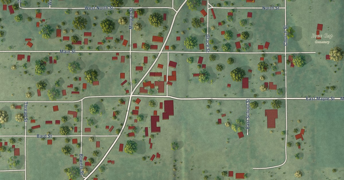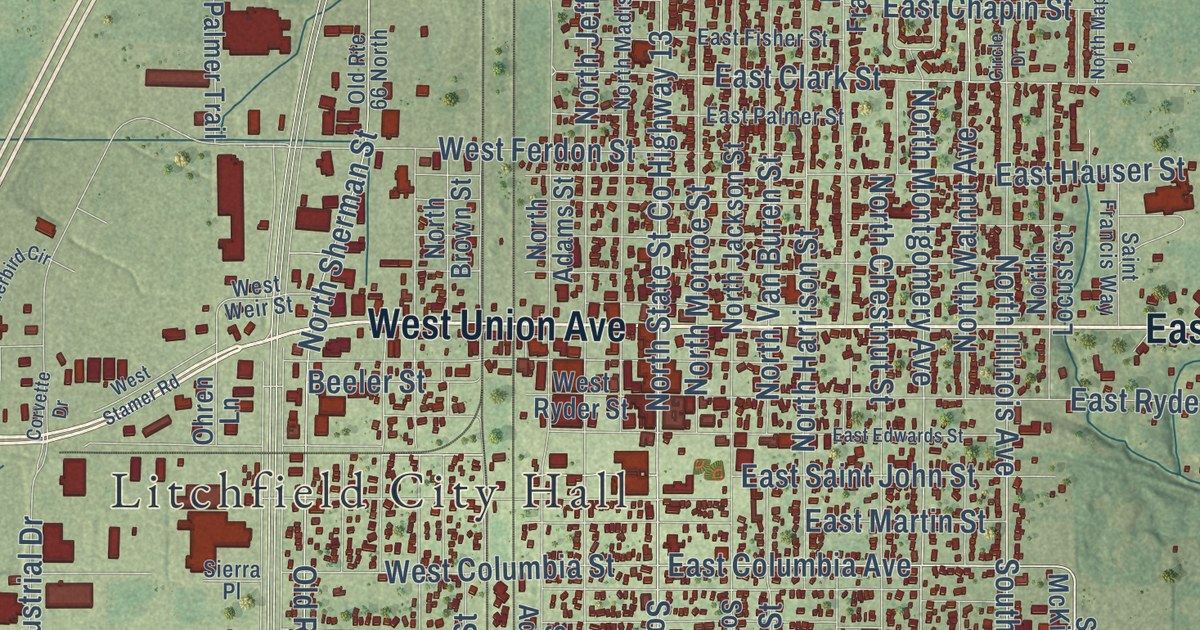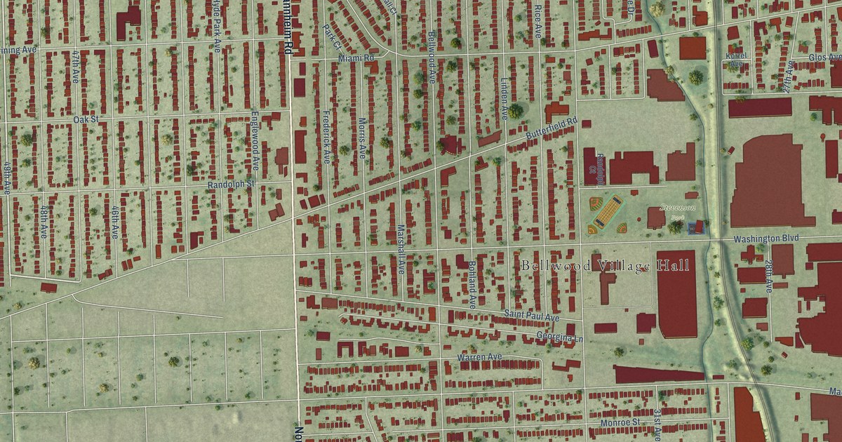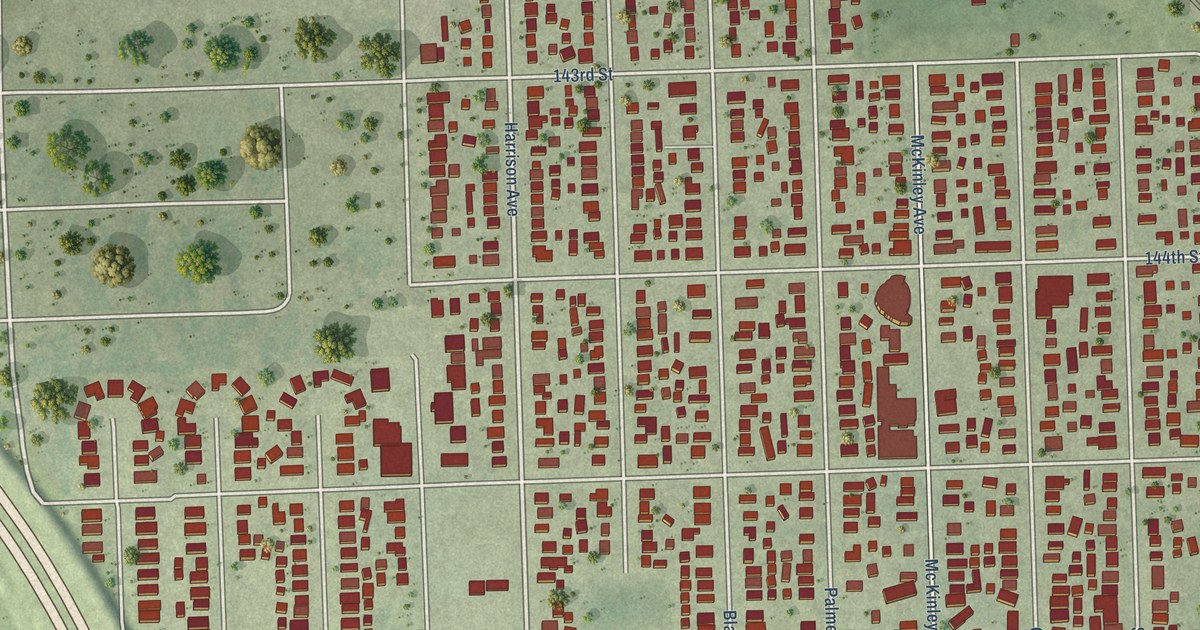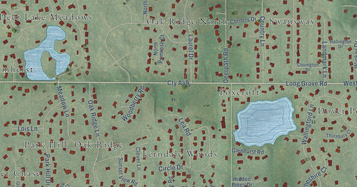
This beautifully detailed map of Deer Park, Illinois was created in 2026 using aerial imagery combined with modern topographical, census, street and landmark data. It’s a one-of-a-kind view of Deer Park that combines accurate data with a vintage aesthetic. The map shows every building in its true location, many of the roads carry their names, and the shaded topographic relief shows the shape of the land.
Explore an aerial view of Deer Park, Illinois
On the map you’ll find Cuba Marsh Forest Preserve, Amherst, Brentwood, Chapel Hill, Deer Chase, Deer Lake Meadows, Deerpath Estates, Dover Pond, Ferndale Woods, Forest Green Lake Estates, Foxcroft, Hamilton Estates, and more. If you look closely you can even find your house accurately drawn in its correct location. Zoom in on the preview to look for yours.
Did you know this piece of Deer Park, Illinois history?
From the Encyclopedia of Chicago: "Potawatomi Indian trails marked the way for Deer Park's early settlers. George Ela settled in the area in 1835, claiming 281 acres of land in a grove that later became Deer Grove Forest Preserve."
Take a closer look at the Deer Park map
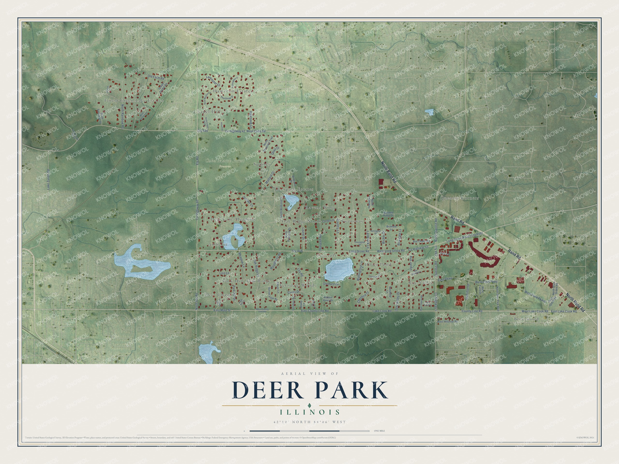
Street and place names on the Deer Park, Illinois map
These names are printed on the map of Deer Park, Illinois.
Places: Cuba Marsh Forest Preserve, Brentwood, Deer Chase, Quentin Corners, Hamilton Estates, Dover Pond, Ferndale Woods, Forest Green Lake Estates, Deer Lake Meadows, Ravens Wing, Chapel Hill, Amherst, Foxcroft, Oak Ridge North, Squires, Oak Ridge, Rue Vallee, Park Hill, Swansway and Deerpath Estates.
Streets and roads: North Rand Road, Rand Road, East County Line Road, County Line Road, West Lake Cook Road, North Ela Road, East Lake Cook Road, Cty A49, Long Grove Road, County Highway 43, Ela Road, Deerpath Road.
More street names, A to Z
Bramble Lane, Briargate Lane, Cheshire Court, Circle Drive, Clover Lane, Corners Drive, Country Lane, County Highway 5, County Highway 42, County Highway 60, Court Touraine, Covington Drive, Cty A46, Cty V62, Deer Chase Court, Deer Valley Drive, East Main Street, Farthingdale Court, Ferndale Road, Field Parkway, Glenhurst Road, Green Forest Road, Hamilton Drive, Hearthside Drive, Hidden Pines Drive, Hollington Drive, Hypoint Drive, Inglenook Lane, Juniper Lane, Lake Cook Road, Lake Zurich Road, Lancaster Court, Landmark Lane, Laurel Drive, Lea Road, Lois Lane, Mallard Court, Meadow Lane, North Chapel Hill Drive, North Deer Park Boulevard, North Hanover Hills Road, North Mayfield Lane, North Pheasant Trail, North Plum Grove Road, North Primrose Court, North Quentin Road, North Rainbow Road, North Swansway, North Sylvander Drive, North Wildrose Drive, Oak Ridge Lane, Old Farm Road, Orchard Lane, Park Hill Court, Park Hill Drive, Plum Grove Road, Quail Court, Quentin Road, Rue Chamonix, Rue Jardin, Rue Orleanais, Rue Touraine, Shady Lane, Sunset View Road, Sunshine Lane, Thornbury Court, Tori Lane, Wallingford Lane, Wehrheim Road, West County Line Road, West Cuba Road, West Field Court, West Field Parkway, West Field Pkwyy, West Hillcrest Road, West Hunters Lane, West Long Grove Road, Wicker Drive, Wildrose Drive, Woodberry Road, Wooded Ridge Drive.
See the Deer Park, Illinois map on a wall
The Deer Park map as an 18 x 24 inch print in a black frame.

This beautifully detailed map of Deer Park makes an attractive addition to your office, library, or den, and it can even be used to teach children the geography and history of the area. It also makes a great gift for anyone who grew up in Deer Park or moved away. When you’re done exploring, click here to get your copy of the Deer Park map.