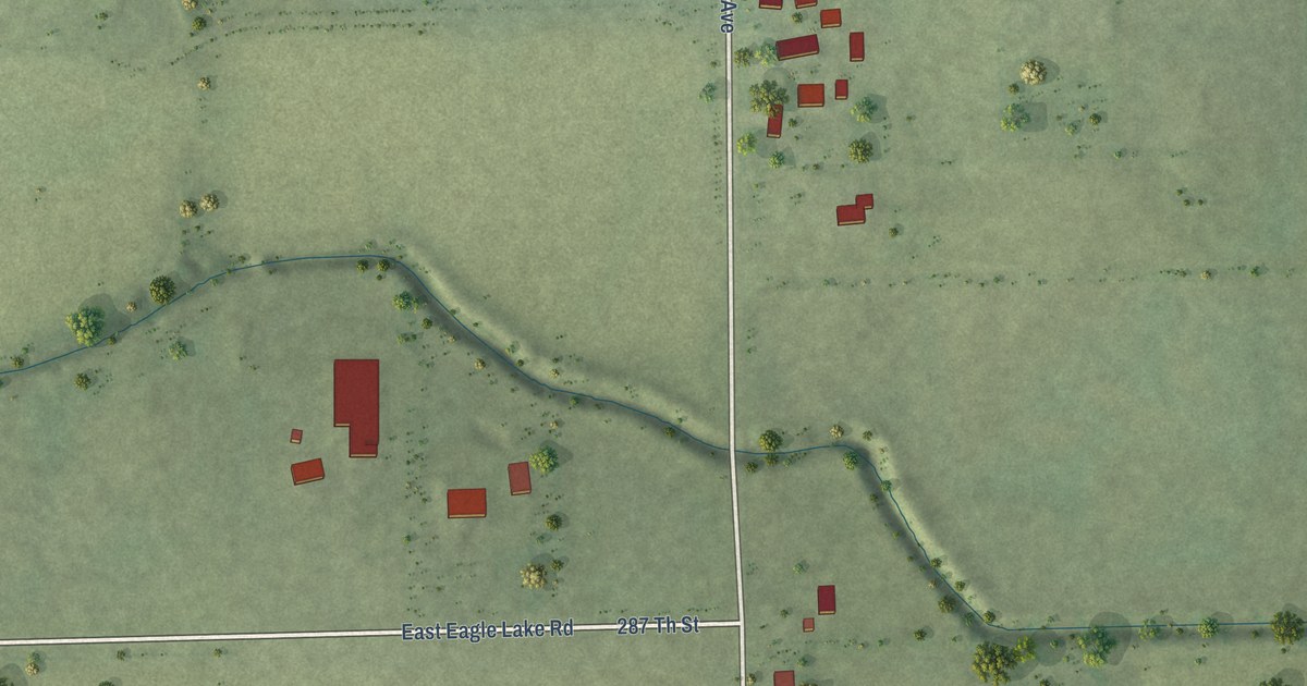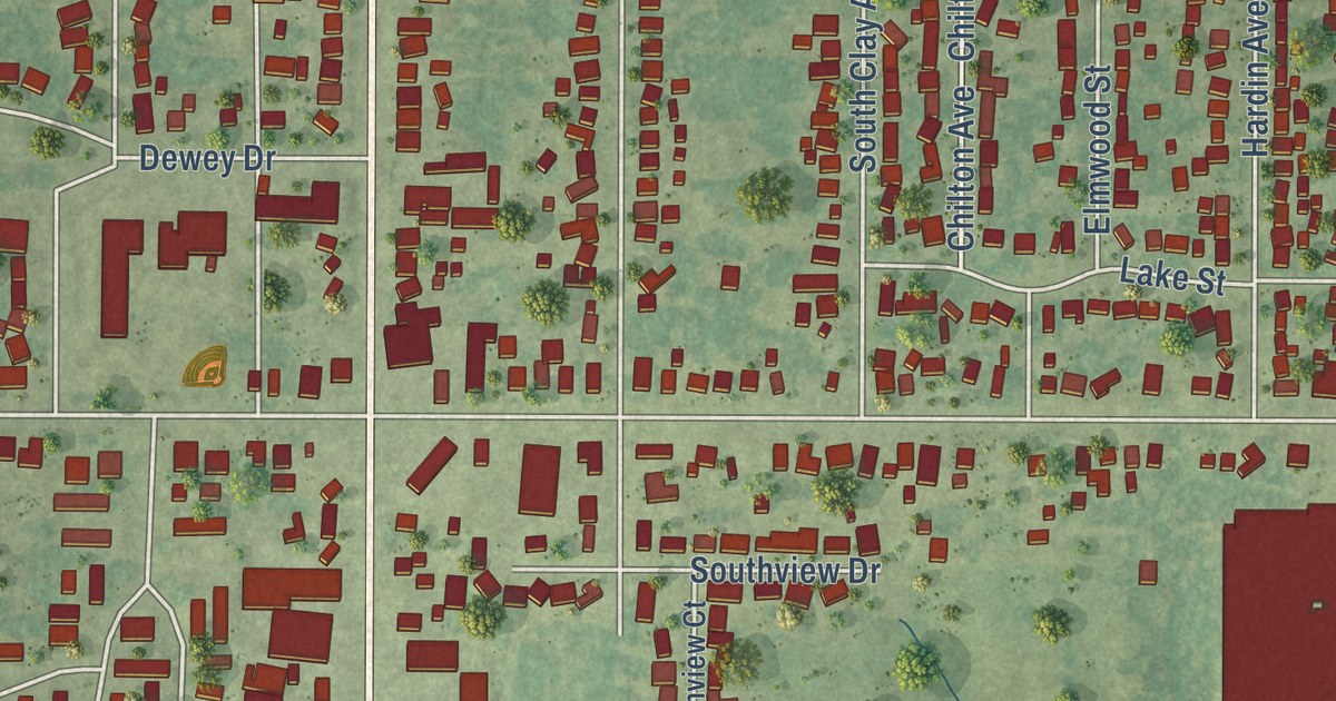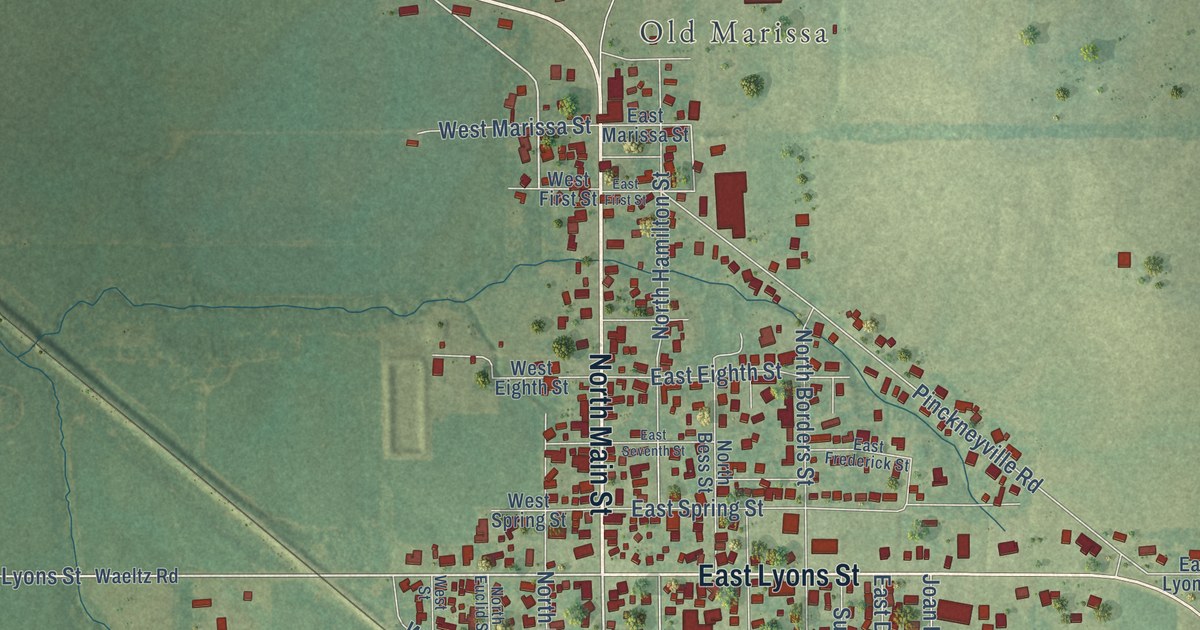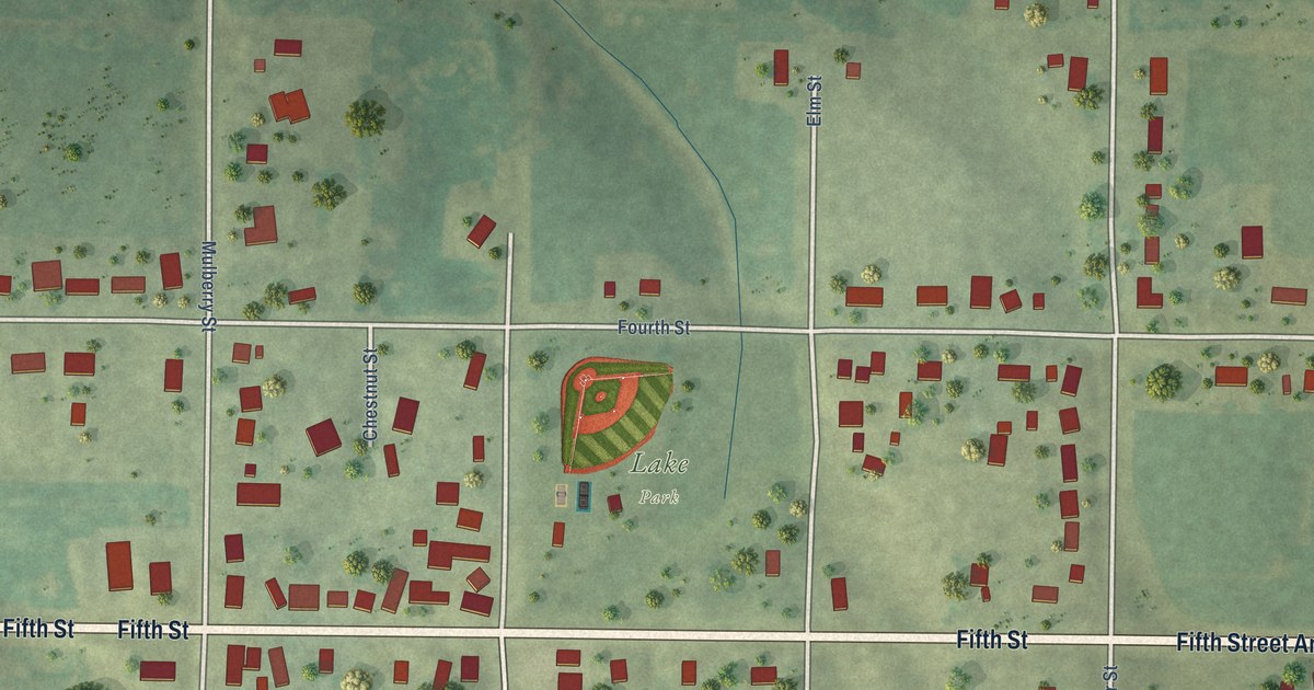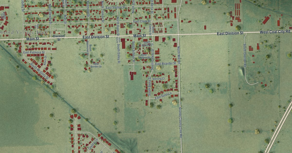
This beautifully detailed map of Diamond, Illinois was created in 2026 using aerial imagery combined with modern topographical, census, street and landmark data. It’s a one-of-a-kind view of Diamond that combines accurate data with a vintage aesthetic. The map shows every building in its true location, many of the roads carry their names, and the shaded topographic relief shows the shape of the land.
Explore an aerial view of Diamond, Illinois
On the map you’ll find Diamond Village Hall and Diamond Park, along with East Division Street, West Coal City Road, Main Street, South Will Road, Grundy County Line Road, North Will Road, Will Road, East Valerio Road, North Dewey Street, Wall Street, and more. If you look closely you can even find your house accurately drawn in its correct location. Zoom in on the preview to look for yours.
Did you know this piece of Diamond, Illinois history?
From the Village of Diamond: "Incorporated in 1895, the village nearly disappeared after coal mining ended in the early 1900’s. Diamond was reincorporated in 1949 and is located approximately fifty-four miles southwest of Chicago."
Take a closer look at the Diamond map
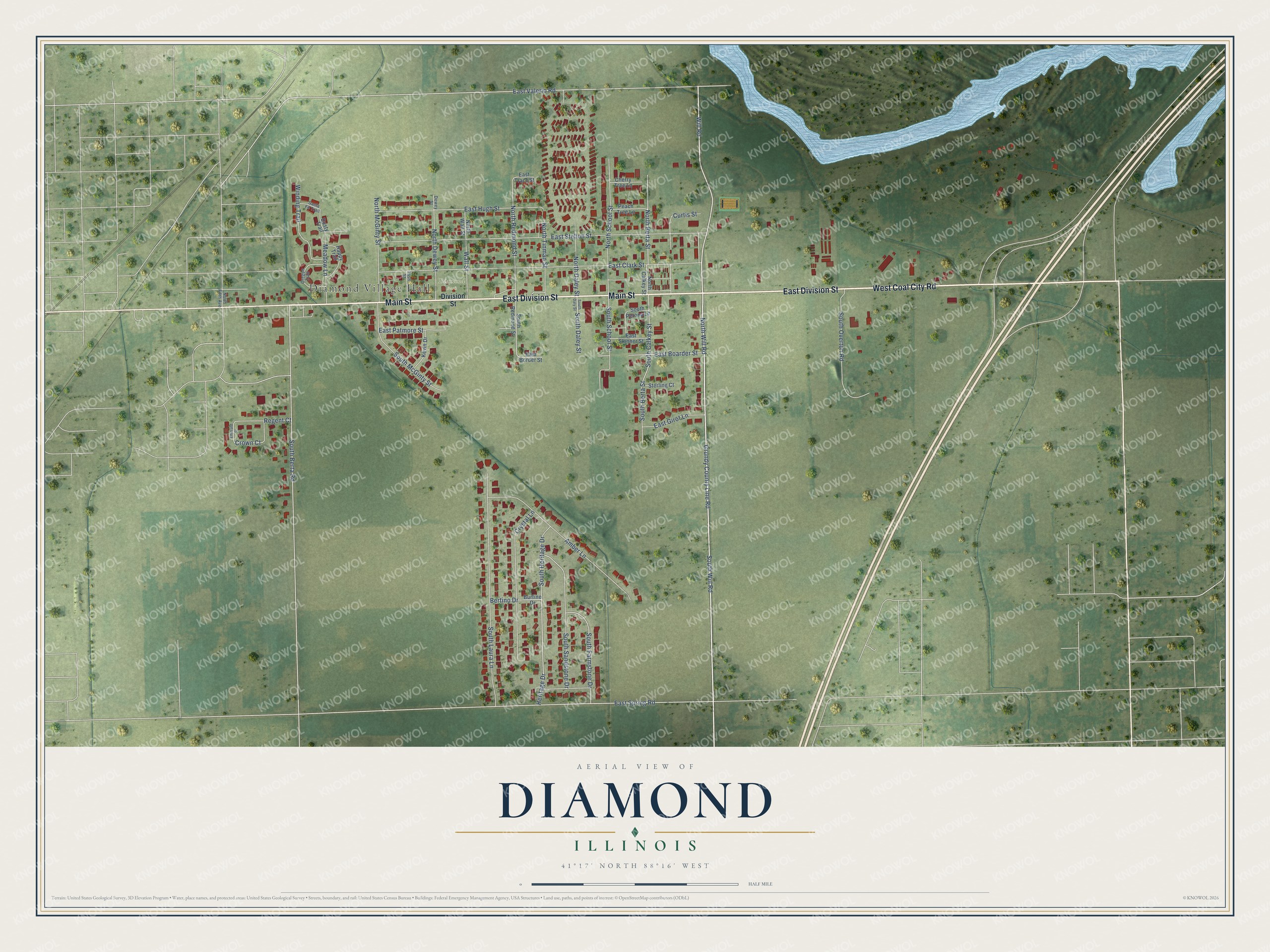
Street and place names on the Diamond, Illinois map
These names are printed on the map of Diamond, Illinois.
Places: Diamond Village Hall and Diamond Park.
Streets and roads: East Division Street, West Coal City Road, Main Street, South Will Road, Grundy County Line Road, North Will Road, Will Road, East Valerio Road, North Dewey Street, Wall Street, Heritage Drive, Crown Court.
More street names, A to Z
Amber Lane, Bertino Drive, Burtine Drive, Cherry Tree Lane, Crystal Lane, Curtis Street, Dewey Street, Division Street, Dusty Trail, East Boarder Street, East Border Street, East Clark Street, East Girot Lane, East Hugh Street, East Patmore Street, East Skinner Street, East Spring Road, East Stellon Street, East Tracy Street, Emerald Street, Happy Trail, Kevin Drive, Meadow Lane, North Berta Street, North Calkey Street, North Daley Street, North Fifth Avenue, North McGinty Street, North Redmond Street, North School Street, North Tinman Street, North Wall Street, Oregon Trail, Peach Tree Lane, Regent Court, Santa Fe Trail, South Berta Road, South Berta Street, South Calkey Street, South Daley Street, South Daly Street, South Farmstone Drive, South Heritage Drive, South Laura Lane, South McGinty Street, South Overton Road, South Perona Lane, South Redmond Street, South Sandstone Drive, South School Street, Sterling Court, Tash Street, Winding Trail.
See the Diamond, Illinois map on a wall
The Diamond map as an 18 x 24 inch print in a black frame.

This beautifully detailed map of Diamond makes an attractive addition to your office, library, or den, and it can even be used to teach children the geography and history of the area. It also makes a great gift for someone who left Diamond and still calls it home. When you’re done exploring, click here to get your copy of the Diamond map.