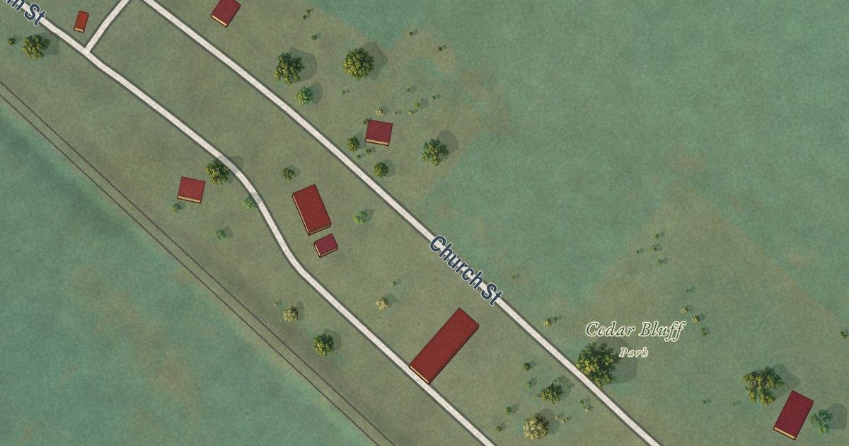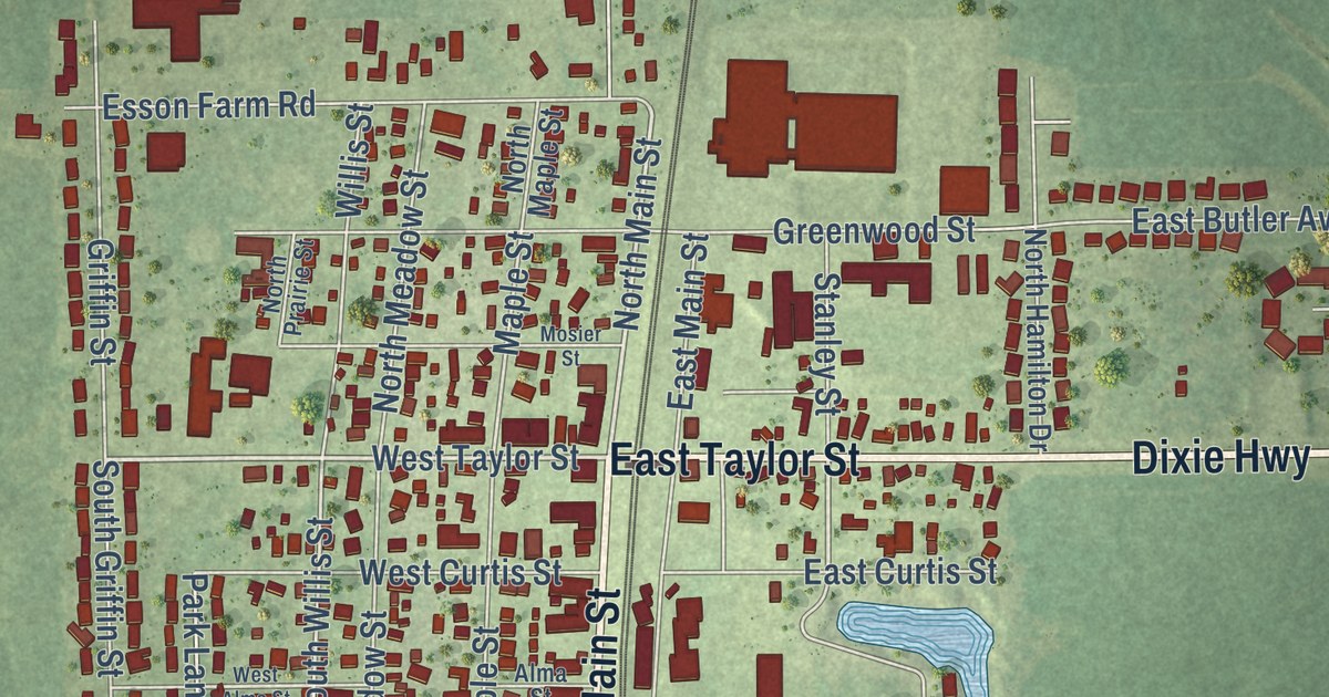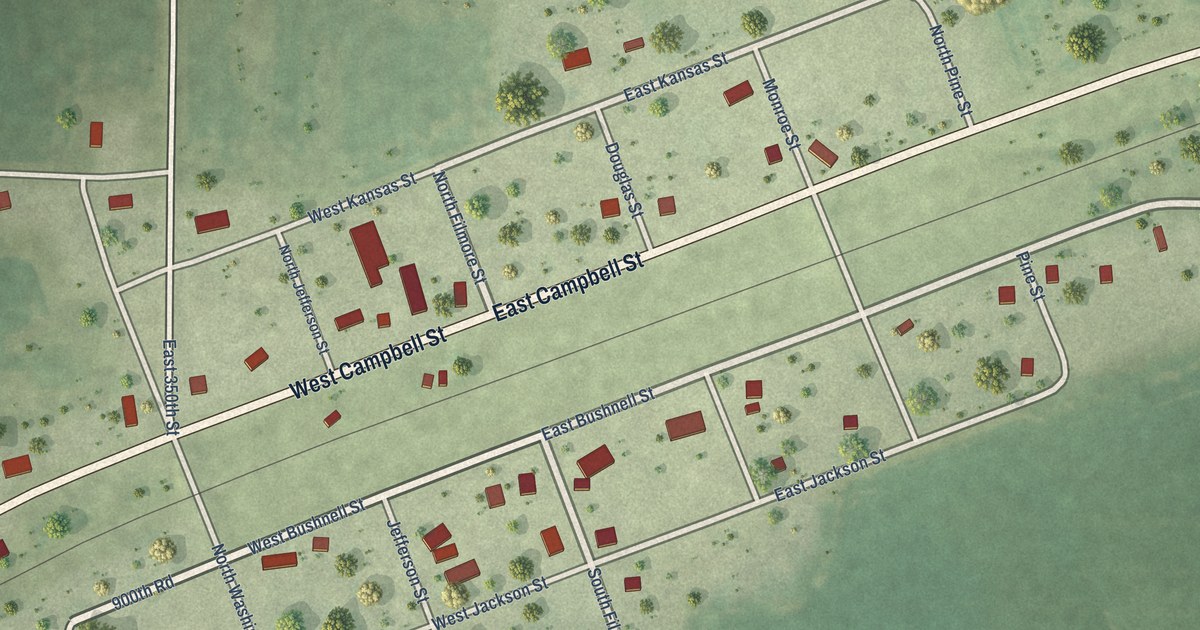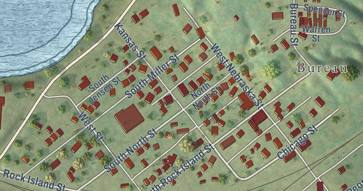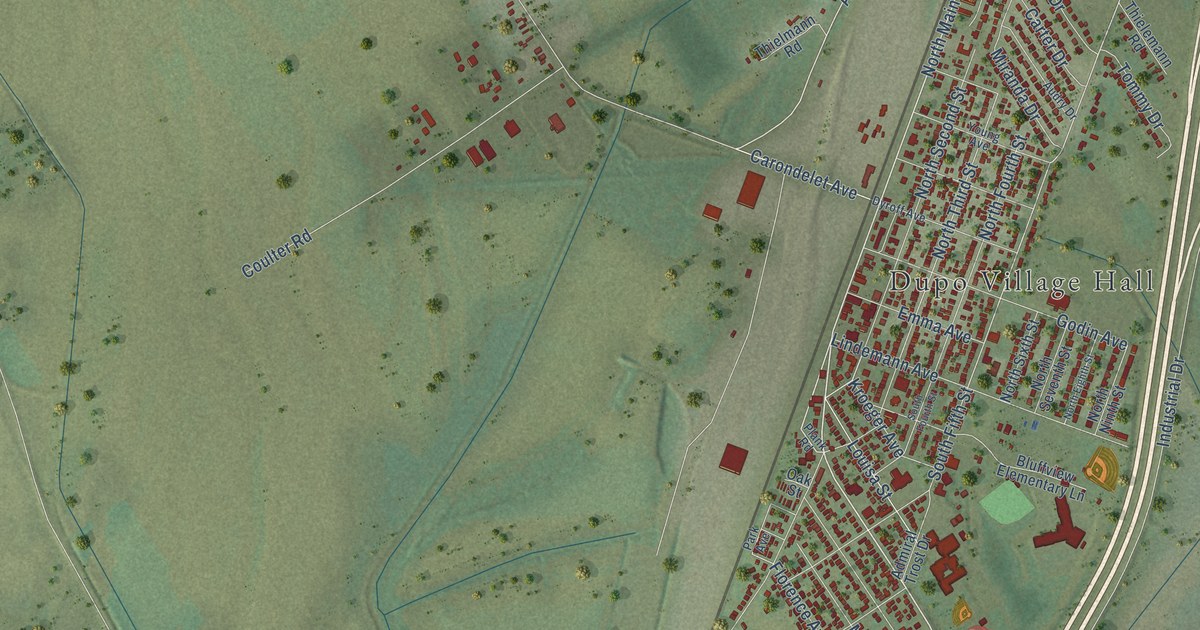
This beautifully detailed map of Dupo, Illinois was created in 2026 using aerial imagery combined with modern topographical, census, street and landmark data. It’s a one-of-a-kind view of Dupo that combines accurate data with a vintage aesthetic. The map shows every building in its true location, many of the roads carry their names, and the shaded topographic relief shows the shape of the land.
Explore an aerial view of Dupo, Illinois
On the map you’ll find Dupo Village Hall, Phelps, Bixby, and Sugarloaf Heights, along with Mississippi Avenue, South Main Street, North Main Street, Stoney Drive, Carondelet Avenue, Lunceford Road, Adams Road, Railroad Street, and more. If you look closely you can even find your house accurately drawn in its correct location. Zoom in on the preview to look for yours.
Did you know this piece of Dupo, Illinois history?
From the Union Pacific: "In 1903 the St. Louis Iron Mountain Railroad Company bought all of the property of the St. Louis Valley Railroad. Later, the Missouri Pacific, owned by Jay Gould, added the Iron Mountain Railroad to its corporation and its employees lived between Bixby and the Prairie du Pont region. The name Prairie du Pont eventually was shortened to Dupo."
Take a closer look at the Dupo map
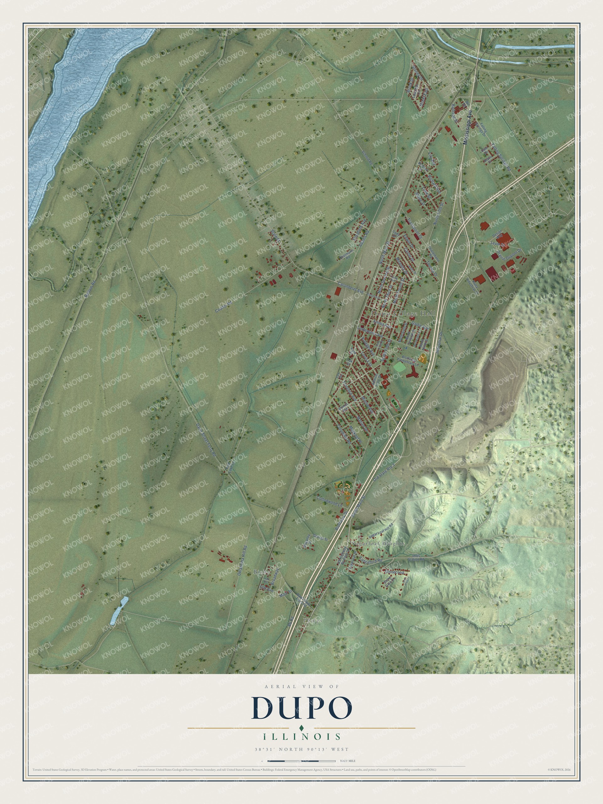
Street and place names on the Dupo, Illinois map
These names are printed on the map of Dupo, Illinois.
Places: Dupo Village Hall, Phelps, Bixby and Sugarloaf Heights.
Streets and roads: Mississippi Avenue, South Main Street, North Main Street, Stoney Drive, Carondelet Avenue, Lunceford Road, Adams Road, Railroad Street, Bb Road, Old State Route 3, Louisa Street, North Fifth Street.
More street names, A to Z
Admiral Trost Drive, Audry Drive, Bluffview Drive, Bluffview Elementary Lane, Bottom Road, Broadway, Brook Drive, Carter Drive, Cody Drive, Columbia Road, Cottonwood Lane, Coulter Road, Dale Drive, Davis Saint Ferry Road, Davis Street Ferry Road, Design Way, Diane Drive, Dyroff Avenue, Edwin Drive, Elizabeth Avenue, Elm Avenue, Emma Avenue, Falling Springs Drive, Falling Springs Road, Fish Lake Lane, Florence Avenue, George Street, Godin Avenue, Hall Avenue, Illinois Avenue, Imbs Station Road, Industrial Drive, Kroeger Avenue, Kuna Industrial Court, Lavender Lane, Levin Crest Lane, Levin Drive, Lily Avenue, Lime Street, Lindemann Avenue, Main Street, Marian Drive, Minnie Avenue, Miranda Drive, Muskopf Place, North Eighth Street, North Fourth Street, North Ninth Street, North Second Street, North Seventh Street, North Sixth Street, North Third Street, Oak Street, Oklahoma Hill Road, Park Avenue, Plank Road, Prairie Dupont Drive, Richard Avenue, Richard Street, Schmid Road, South Fifth Street, South Fourth Street, State Street, Stonecrest, Stone Gate Drive, Stone Street, Street East, Sugarloaf Drive, Sugar Loaf Hill Road, Thielemann Road, Thielmann Road, Tommy Drive, Transpoint Drive, US Highway By-Pass 50, Wheatley Drive, Wil Road, Young Avenue.
See the Dupo, Illinois map on a wall
The Dupo map as an 18 x 24 inch print in a black frame.

This beautifully detailed map of Dupo makes an attractive addition to your office, library, or den, and it can even be used to teach children the geography and history of the area. It also makes a great gift for anyone with Dupo roots. When you’re done exploring, click here to get your copy of the Dupo map.