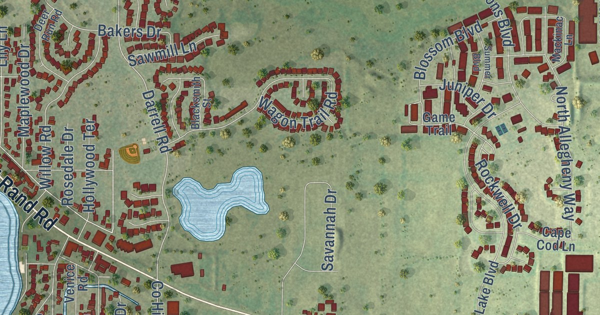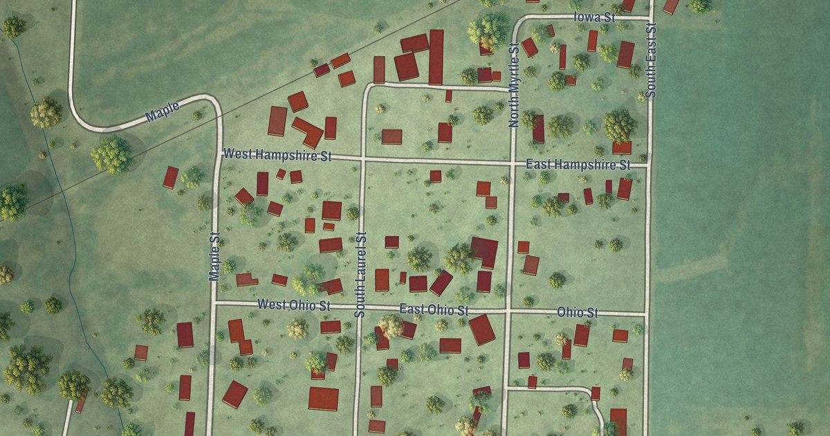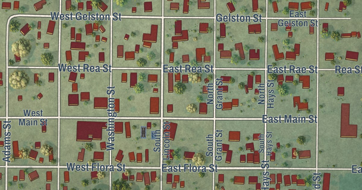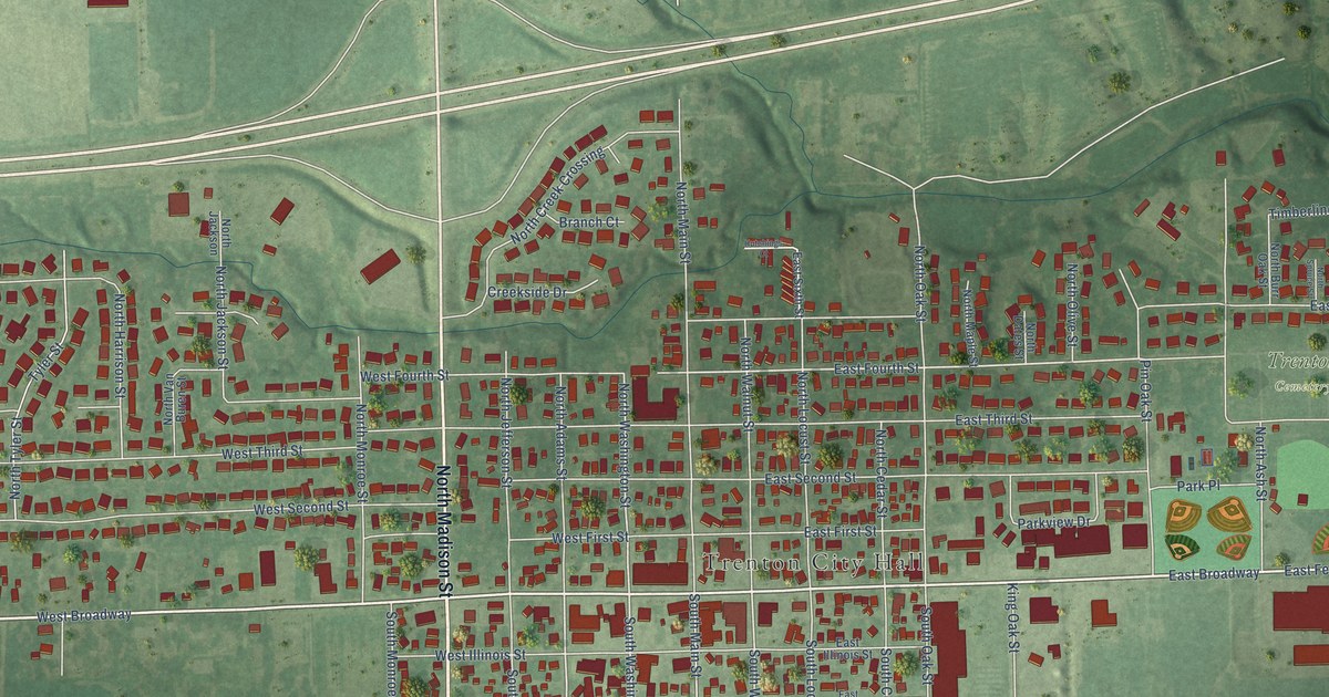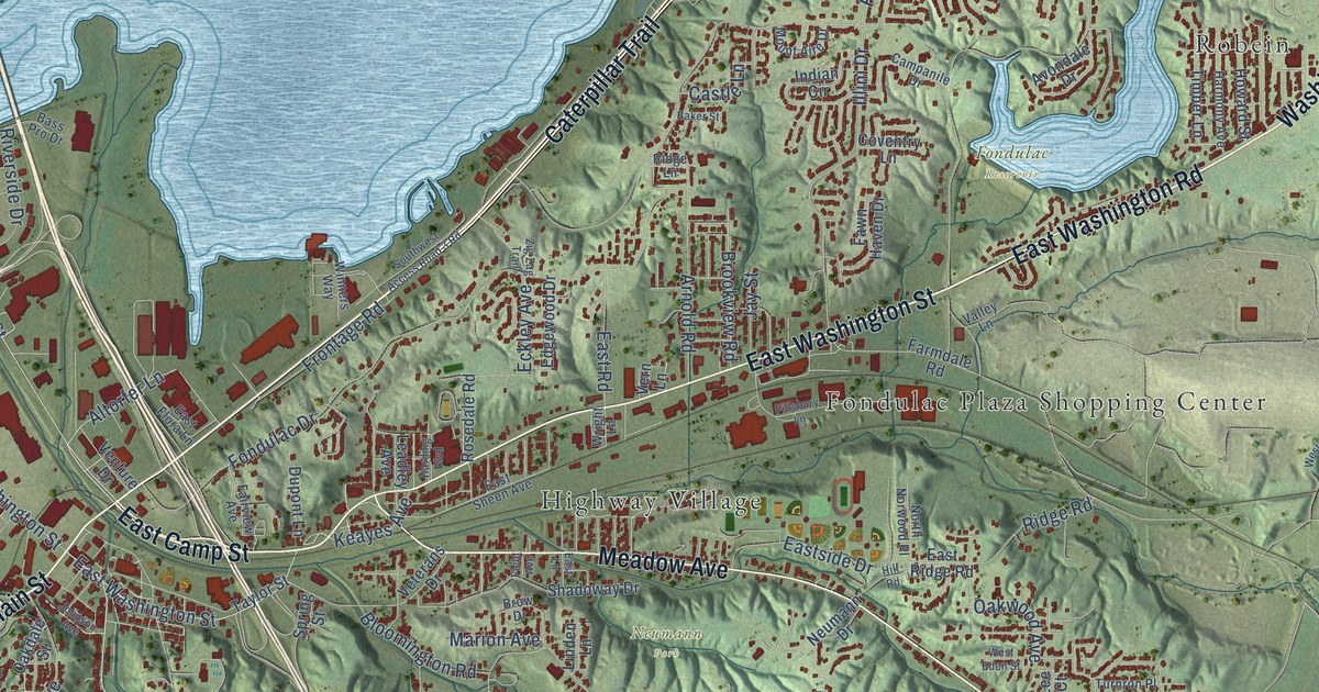
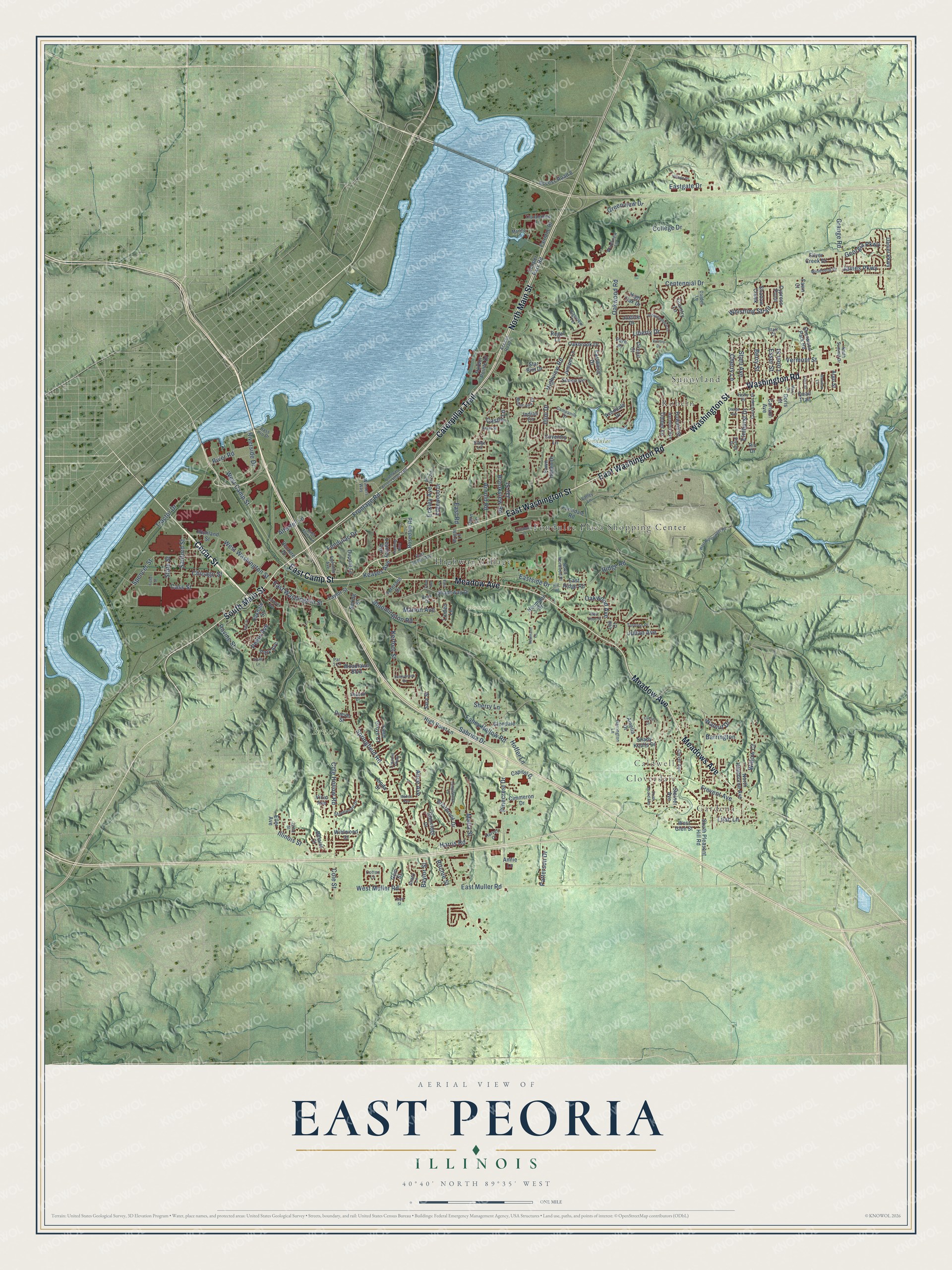
This beautifully detailed map of East Peoria, Illinois was created in 2026 using aerial imagery combined with modern topographical, census, street and landmark data. It’s a one-of-a-kind view of East Peoria that combines accurate data with a vintage aesthetic. The map shows every building in its true location, many of the roads carry their names, and the shaded topographic relief shows the shape of the land.
Explore an aerial view of East Peoria, Illinois
On the map you’ll find Gardena, Cloverdale, Caldwell, Brady Park, Fondulac Reservoir, Neumann Park, Fondulac Plaza Shopping Center, Robein, and Sunnyland, along with Highway Village, North Main Street, Caterpillar Trail, and more. If you look closely you can even find your house accurately drawn in its correct location. Zoom in on the preview to look for yours.
Did you know this piece of East Peoria, Illinois history?
From the Pekin Public Library: "Hilton was to exist for only five years, however, for in October of 1889, the village changed its name to East Peoria."
Take a closer look at the East Peoria map
Street and place names on the East Peoria, Illinois map
These names are printed on the map of East Peoria, Illinois.
Places: Gardena, Cloverdale, Caldwell, Brady Park, Fondulac Reservoir, Neumann Park, Fondulac Plaza Shopping Center, Highway Village, Robein and Sunnyland.
Streets and roads: North Main Street, Caterpillar Trail, East Washington Street, Washington Road, Cedar Street, East Camp Street, South Main Street, Meadow Avenue, Meadows Avenue, East Washington Road, Washington Street, West Camp Street.
More street names, A to Z
22nd Street, Access Road 6, Access Road 8, Alice Avenue, Altorfer Lane, Amelia Drive, Annie Lane, Argo Street, Arnold Road, Avondale Drive, Baker Street, Barrington, Bass Pro Drive, Baylor Street, Belaire Court, Berry Street, Bloomington Road, Briarbrook Drive, Brookview Road, Brow Drive, Campanile Drive, Capitol Drive, Carlson Avenue, Cass Street, Castle Lane, Centennial Drive, Cherry Lane, Chicago Street, Cimmeron Drive, Circle Drive, Circuit Court, Clover Avenue, Cole Hollow Road, Cole Street, College Drive, Cooper Park Road, Cotton Lane, Country Lane, Coventry Lane, Crestlawn Drive, Cypress Point, Daniel Parkway, Darden Lane, Doris Street, Duever Street, Dupont Lane, East Flora Lane, Eastgate Drive, East Lane, East Muller Road, East Ridge Road, East Road, East Sheen Avenue, Eastside Drive, Eastwood Drive, Eckley Avenue, Edgewood Drive, Eller Avenue, Elmhurst Drive, Esser Street, Fahey Hollow Road, Fairlane Drive, Fairview Avenue, Farmdale Road, Fawn Court, Fawn Haven Drive, Field Avenue, Field Grove Court, Fisher Street, Fondulac Drive, Frevent Avenue, Frontage Road, Gem Street, Georgia Parkway, Glendale Lane, Glenridge Drive, Grange Road, Greenview Drive, Harbor Pointe Drive, Harding Boulevard, Harmony Avenue, Harrington Lane, Harris Road, Harvey Court, High Oak Drive, High Point Lane, Highview Road, Highview Terrace, Hill Road, Hoffer Lane, Holly Drive, Howard Street, Illini Drive, Illinois Street, Independence Drive, Indian Circle, James Parkway, Jay Street, Johnson Avenue, Julian Avenue, Juniper Lane, Justice Drive, Keayes Avenue, Keil Street, Kerfoot Street, Lake Street, Leadley Avenue, Lee Court, Liberty Drive, Lilac Lane, Lincoln Parkway, Linda Street, Linden Lane, Lloyd Street, Loren Street, Mabee Avenue, Maria Street, Marina Lane, Marion Avenue, Mary Street, Meadow Lane, Mount Aire Drive, Neumann Drive, Neumann Lane, North Hawthorne Avenue, North Norwood Place, North Summit Drive, Oakbrook Drive, Oakdale Street, Oakwood Avenue, Oakwood Road, Osage Avenue, Par 3 Lane, Park Avenue, Park Place, Patterson Drive, Pekin Avenue, Pillsbury Lane, Pinecrest Drive, Quail Trail, Ravine Street, Regal Lane, Richland Street, Ridge Lane, Ridge Road, Rio Drive, Ritchie Street, River Road, Riverside Drive, Rosedale Road, Sabrina Drive, Sanford Street, Sara Street, Season Drive, Shadoway Drive, Shadow Creek, Shady Knolls Drive, Shady Lane, Sherry Lane, Sherwood Park Road, Siesta Drive, Silver Creek Drive, Simon Drive, South Euclid Avenue, South Lane, South Pleasant Hill Road, Southwest Access Road 3 Road, Spencer Street, Springfield Road, Spring Street, Stahl Avenue, Starr Court, Star Rim Drive, State Street, Steiner Avenue, Stonewood Drive, Sunnybrook Drive, Tanglewood Lane, Taylor Street, Thunderbird Lane, Timber Lane, Tractor Drive, Turnron Place, Valley Lane, Venture Drive, Vermont Street, Vern Lane, Veterans Drive, Vicic Avenue, Victory Drive, Village Drive, Walnut Drive, West Bittersweet Road, West Eden Street, West Glen Street, West Muller Road, West Washington Street, Whistling Strait, Wildwood Court, Willow Court, Windsong Drive, Winners Way, Woodlawn Boulevard, Woodview Lane, Wright Lane, Zig Zag Trail.
See the East Peoria, Illinois map on a wall
The East Peoria map as an 18 x 24 inch print in a black frame.

This beautifully detailed map of East Peoria makes an attractive addition to your office, library, or den, and it can even be used to teach children the geography and history of the area. It also makes a great gift for anyone with East Peoria roots. When you’re done exploring, click here to get your copy of the East Peoria map.