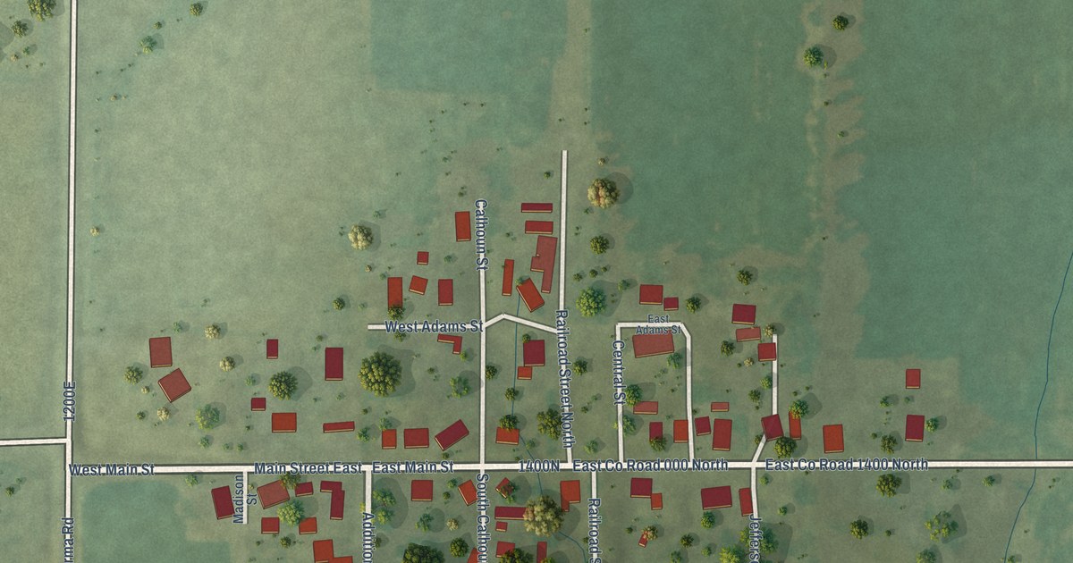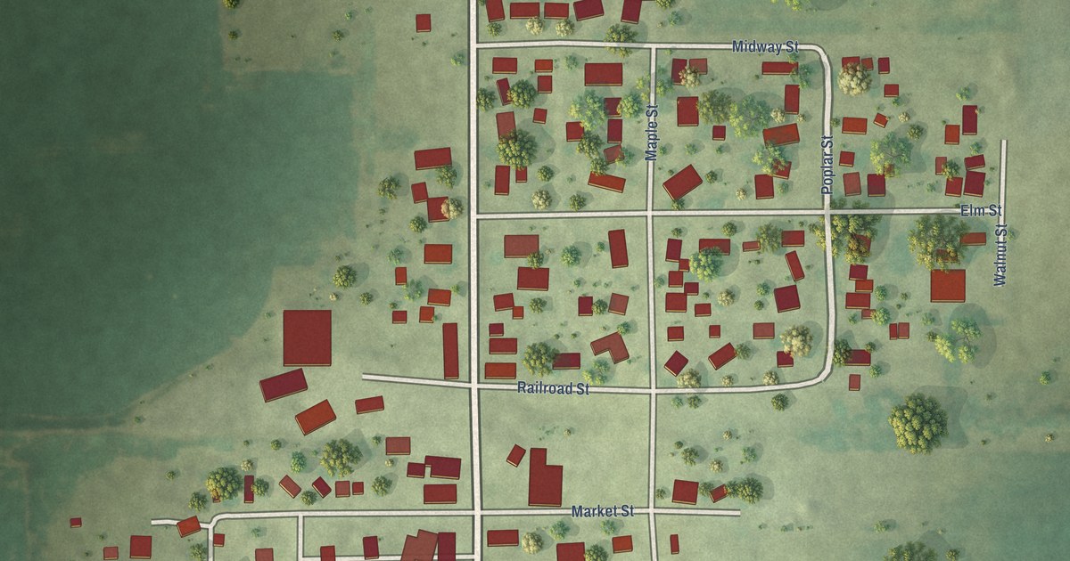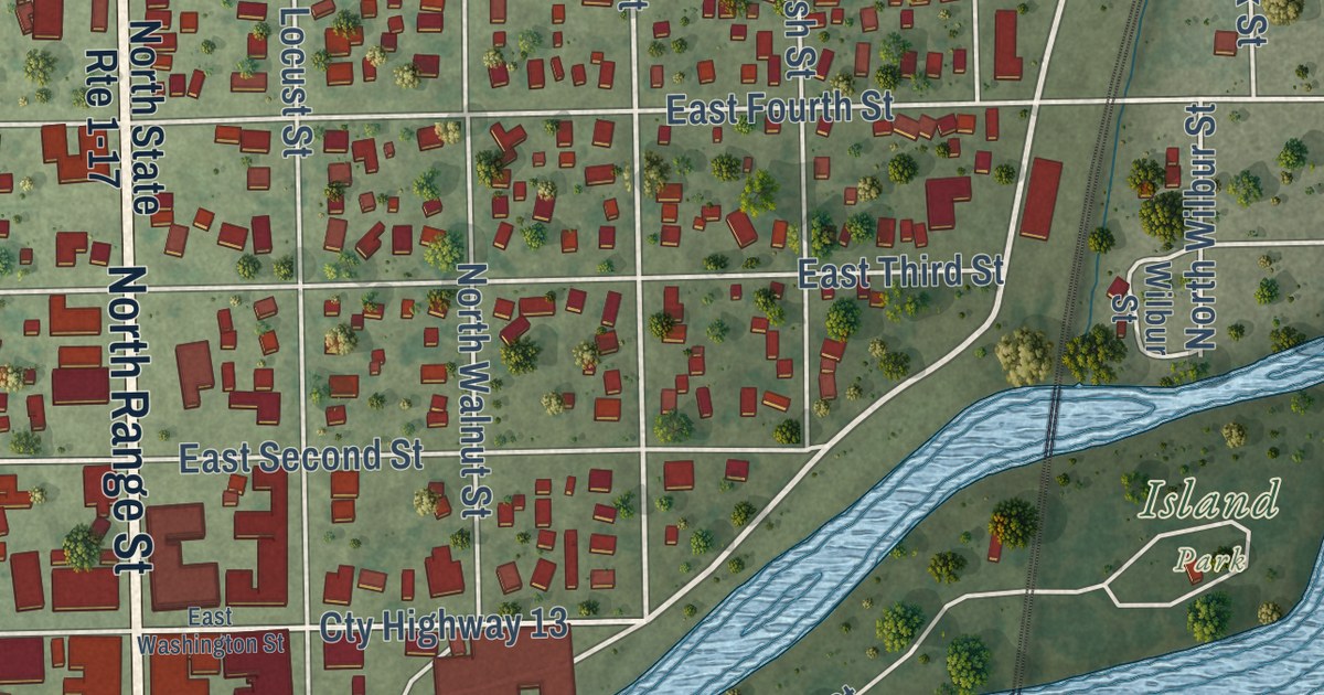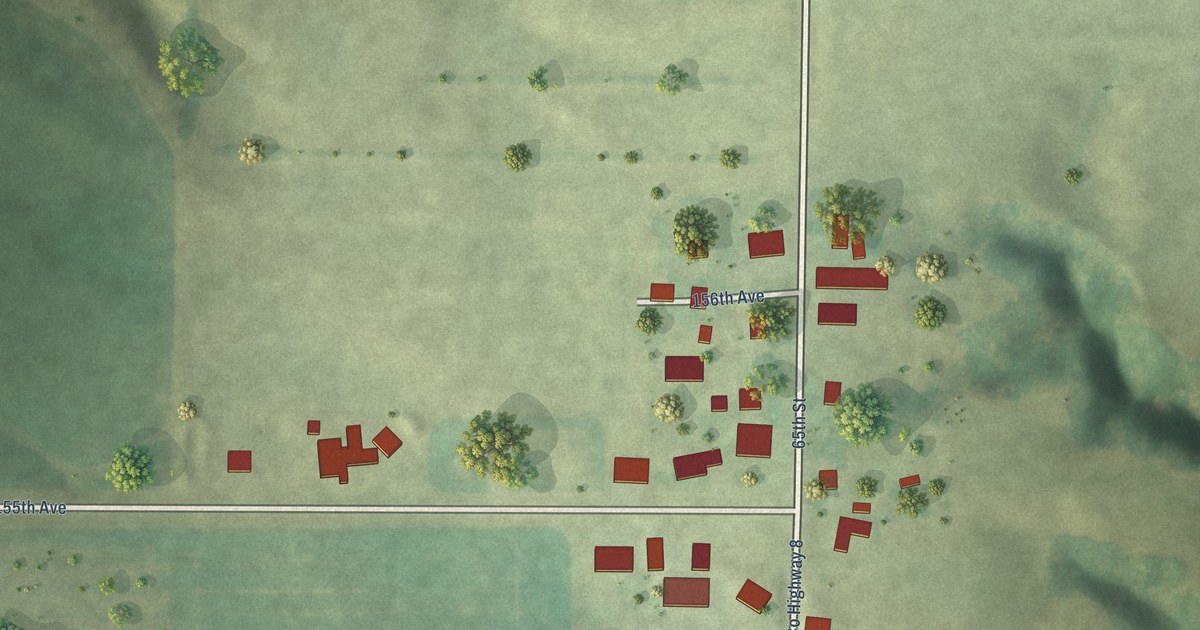
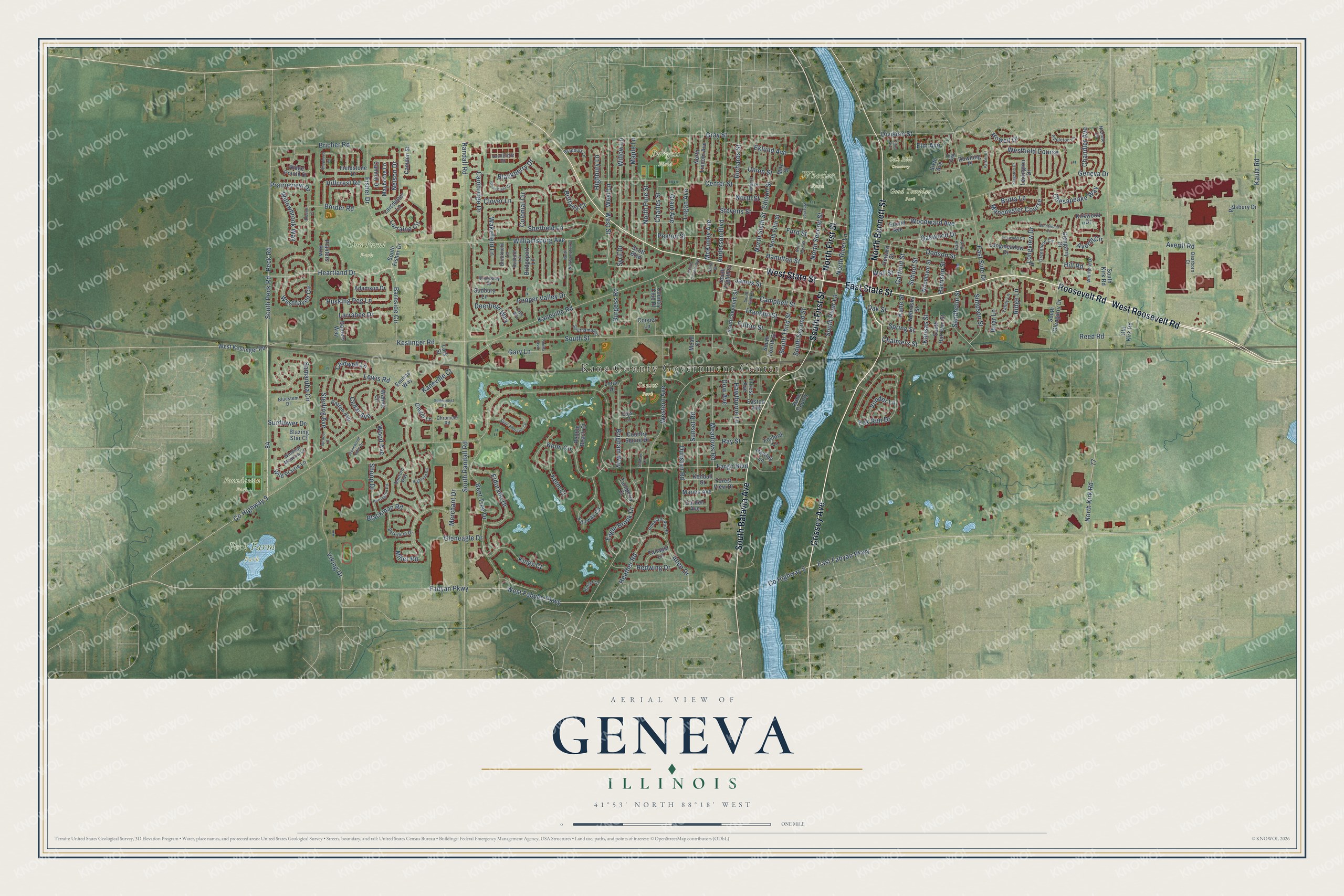
This beautifully detailed map of Geneva, Illinois was created in 2026 using aerial imagery combined with modern topographical, census, street and landmark data. It’s a one-of-a-kind view of Geneva that combines accurate data with a vintage aesthetic. The map shows every building in its true location, many of the roads carry their names, and the shaded topographic relief shows the shape of the land.
Explore an aerial view of Geneva, Illinois
On the map you’ll find Burgess Field, Don Forni Park, Foundation Park, Good Templar Park, Oak Hill Cemetery, Peck Farm Park, Sunset Park, Wheeler Park, and Moore Park, along with South Batavia Avenue, Crissey Avenue, North Bennett Street, and more. If you look closely you can even find your house accurately drawn in its correct location. Zoom in on the preview to look for yours.
Did you know this piece of Geneva, Illinois history?
From the Papers of Abraham Lincoln: "The county surveyor surveyed and platted the town in 1837, and its name changed to Geneva after Geneva, New York, which itself was named for the lake and city in Switzerland."
Take a closer look at the Geneva map
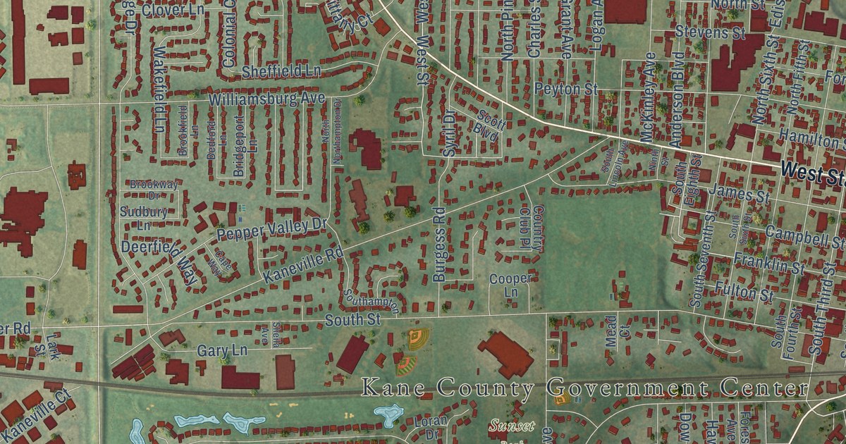
Street and place names on the Geneva, Illinois map
These names are printed on the map of Geneva, Illinois.
Places: Kane County Government Center, Burgess Field, Don Forni Park, Foundation Park, Good Templar Park, Oak Hill Cemetery, Peck Farm Park, Sunset Park and Wheeler Park.
Streets and roads: Crissey Avenue, West Roosevelt Road, East State Street, Roosevelt Road, West State Street, South Batavia Avenue, North Bennett Street, North First Street, South First Street, South Peck Road, Heartland Drive, Campbell Street.
More street names, A to Z
Adamson Drive, Allen Drive, Anderson Boulevard, Appleton Lane, Averill Circle, Averill Road, Barnside Circle, Bedford Lane, Belter Court, Bent Tree Drive, Berkshire Drive, Blackberry Drive, Blackman Road, Blazing Star Court, Bloomfield Circle, Bluestem Drive, Border Road, Bradbury Lane, Brentwood Place, Briar Lane, Bricher Road, Bridgeport Lane, Brigham Way, Britta Lane, Brittany Court, Brookfield Lane, Brookway Drive, Burgess Road, Caldwell Lane, Cambridge Drive, Camden Street, Cannon Drive, Cape Way, Cedar Avenue, Center Street, Chalmers Street, Chandler Avenue, Charles Street, Chesapeake Way, Chronicle Road, Clover Lane, Colonial Circle, Cooper Lane, Country Club Place, Country Squire Drive, County Highway 8, County Highway 9, Danford Way, Daniels Way, Dearborn Court, Deerfield Way, Division Street, Dodson Street, Dow Avenue, Downing Place, Dunstan Road, Eagle Brook Drive, East Fabyan Parkway, Easton Avenue, East Side Drive, Edison Street, Eklund Avenue, Eldorado Drive, Eleanor Lane, Elm Avenue, Emmas Way, Euclid Avenue, Fabyan Parkway, Fairway Circle, Fargo Boulevard, Fieldstone Drive, Fisher Drive, Ford Street, Forest Avenue, Forest View Drive, Foxford Lane, Fox Run Drive, Foxwood Circle, Franklin Street, Fulton Street, Galway Court, Garden Avenue, Garfield Street, Gary Lane, Geneva Drive, Ginger Lane, Gleneagle Drive, Glengarry Drive, Grant Avenue, Gray Street, Greenfield Circle, Hamilton Street, Harrison Street, Hawley Lane, Hawthorne Lane, Heather Road, Herrington Road, Highbury Lane, Highland Road, High Street, Hillcrest Road, Hill Road, Howard Street, Howell Drive, Husking Peg Lane, Illinois Street, James Street, Kane County, Kane Street, Kaneville Court, Kaneville Road, Kansas Street, Kautz Road, Keim Circle, Keim Court, Kendall Street, Keslinger Road, Kings Court, Kingston Drive, Kirkwood Drive, Lark Street, Larrabee Drive, Larsdotter Lane, Lewis Road, Lexington Drive, Logan Avenue, Lois Court, Longmeadow Drive, Longview Drive, Loran Drive, Lorraine Circle, Manchester Course, Maple Lane, Marion Avenue, Mayborne Lane, May Street, McKinley Avenue, Mead Court, Meadows Road, Merchant Drive, Miller Road, Nebraska Street, Nelson Drive, Nichole Lane, Ninth Street, North Fifth Street, North Kirk Road, North Lincoln Avenue, North Northampton Drive, North Pine Street, North River Lane, North Second Street, North Sixth Street, North Street, North Third Street, Oak Street, Oakwood Drive, Old Kirk Road, Park Avenue, Parker Court, Patten Avenue, Pebble Beach Court, Peck Road, Pepper Valley Drive, Peyton Street, Pheasant Run Place, Pillsbury Drive, Planters Row, Prairieview Drive, Randall Road, Ray Street, Redwing Drive, Reed Road, Richards Street, Ridge Lane, Ridge Pointe Drive, Saint Andrews Circle, Samantha Circle, Sandholm Street, School Street, Scott Boulevard, Sheffield Lane, Sheila Avenue, Shepherd Lane, Shoop Drive, Simpson Street, Sixth Avenue, Soderquist Court, Southampton, South Eighth Street, South Fisher Drive, South Fourth Street, South Glengarry Drive, South Harrison Street, South Kirk Road, South Lincoln Avenue, South Randall Road, South River Lane, South Second Street, South Seventh Street, South Sixth Street, South Street, South Third Street, Spring Street, Spruce Court, Sterling Avenue, Stevens Street, Stonewood Glen Drive, Sudbury Lane, Sunflower Drive, Sunset Road, Syril Drive, Tanager Lane, Third Avenue, Turnberry Court, Union Street, Valley Lane, Vanderbilt Drive, Viking Drive, Vonder Lane, Wakefield Lane, Wall Street, Walnut Circle, Western Avenue, West Fabyan Parkway, Westfield Course, Westhaven Circle, West Keslinger Road, West Lane, West Street, Wheeler Drive, Whitfield Drive, Wild Prairie Lane, Williamsburg Avenue, Willowbrook Way, Willow Lane, Winding Meadow Lane, Wood Avenue, Woodlawn Street, Woodward Avenue.
See the Geneva, Illinois map on a wall
The Geneva map as an 18 x 24 inch print in a black frame.

This beautifully detailed map of Geneva makes an attractive addition to your office, library, or den, and it can even be used to teach children the geography and history of the area. It also makes a great gift for someone who left Geneva and still calls it home. When you’re done exploring, click here to get your copy of the Geneva map.