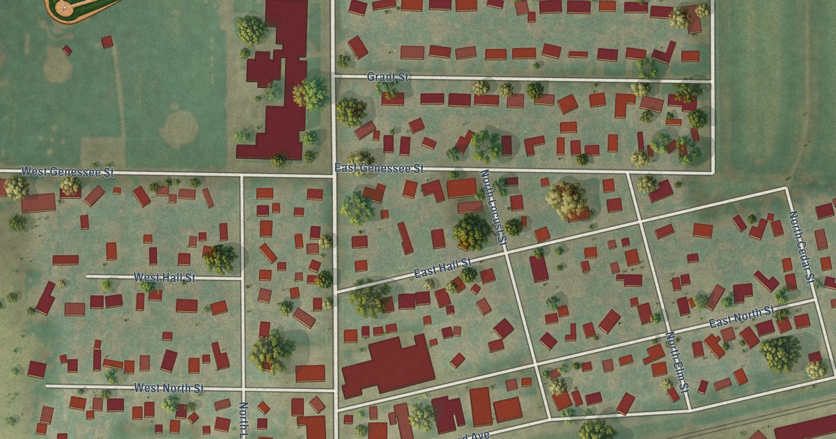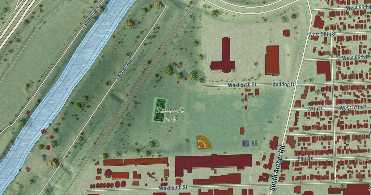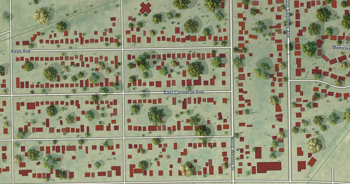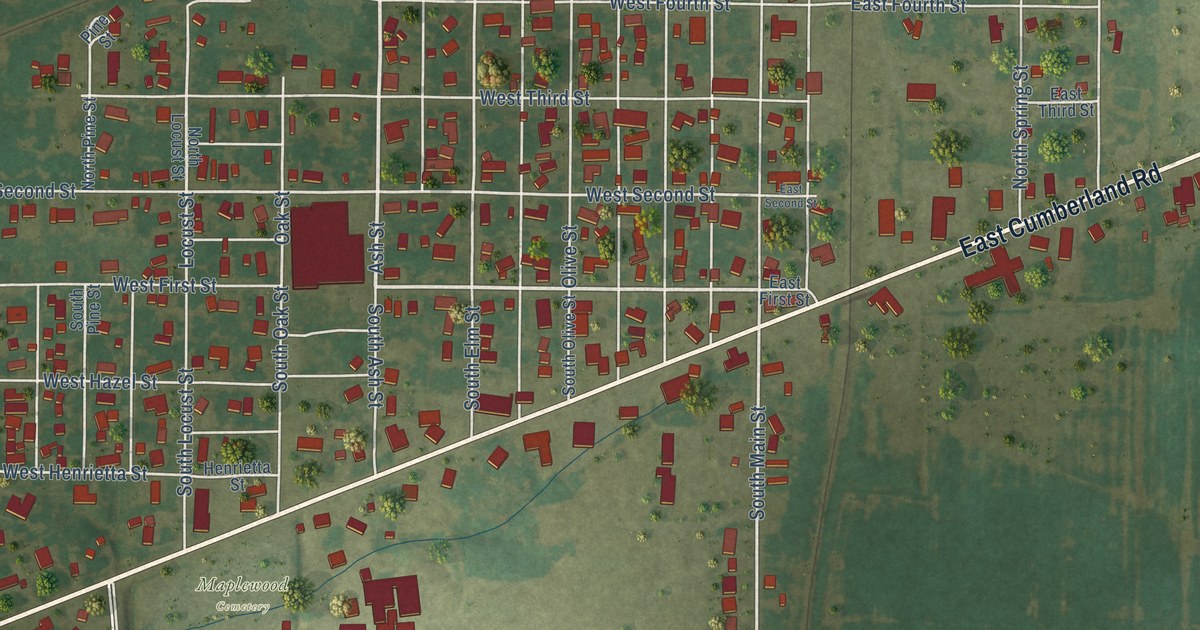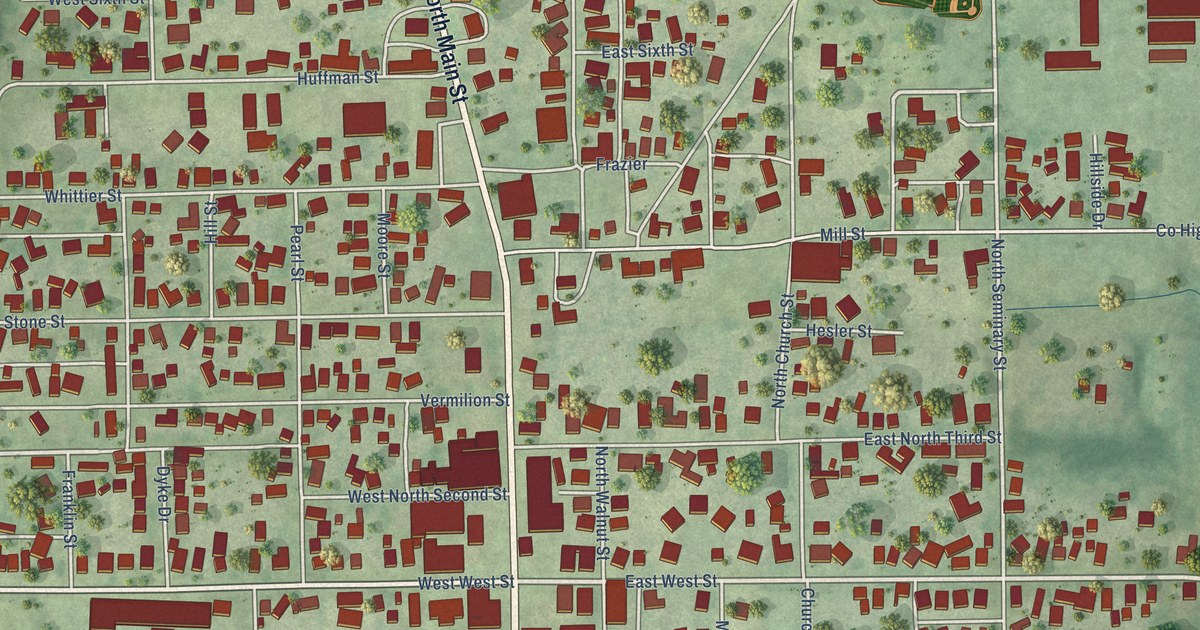
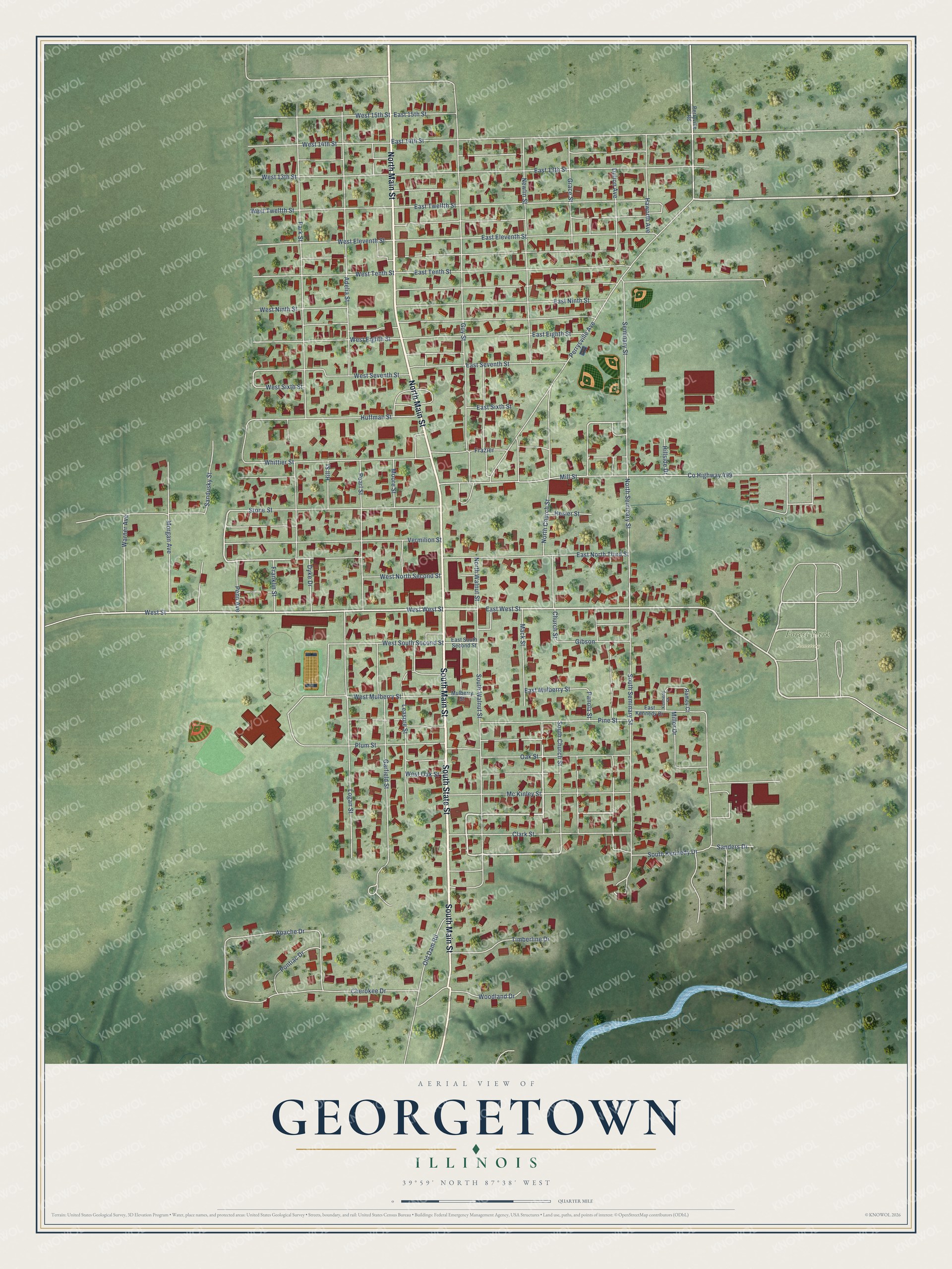
This beautifully detailed map of Georgetown, Illinois was created in 2026 using aerial imagery combined with modern topographical, census, street and landmark data. It's a modern aerial view of Georgetown in Vermilion County, Illinois, that combines modern data with a vintage aesthetic. The roads feature printed names, and if you look closely you can find your exact house accurately shown in its correct location.
Explore an aerial view of Georgetown, Illinois
On this map you'll find Forest Park Cemetery, South Main Street, North Main Street, South State Street, East Twelfth Street, Vermilion Street, East West Street, West Street, East Ninth Street, North Seminary Street, Perrysville Avenue, Park Street, and more. Each red shape is a building, so zoom in on the preview and look for yours.
Here is a piece of Georgetown history, in the words of the record. The Vermilion County History puts it this way: "John A. Frazier attended the public schools of Georgetown and throughout his business career has been identified with the business which was founded at Georgetown by his grandfather in 1828."
Georgetown is a city in Vermilion County. The Census Bureau counted 3,143 people here in 2020.
Take a closer look at the Georgetown map
Names on this map
These names are printed on this map.
Places: Forest Park Cemetery.
Streets and roads: South Main Street, North Main Street, South State Street, East Twelfth Street, West West Street, Vermilion Street, East West Street, West Street, East Ninth Street, North Seminary Street, Perrysville Avenue, Park Street.
More street names, A to Z
Adelia Street, Apache Drive, Cherokee Drive, Church Street, Clark Street, County Highway 499, Dillion Avenue, Dyke Drive, East 13th Street, East 14th Street, East 15th Street, East Eighth Street, East Eleventh Street, East Kennedy Drive, East Mulberry Street, East North Third Street, East Seventh Street, East Sixth Street, East South Second Street, East Tenth Street, Franklin Street, Frazier, Garfield Street, Gibson, Grace Street, Guy Street, Haworth Avenue, Hesler Street, Hillside Drive, Hill Street, Huffman Street, Kennedy Court, Leasure Street, Logan Street, Mack Street, Mc Kinley Street, Miller Drive, Mill Street, Moore Street, Morgan Avenue, Mulberry Street, Newlin Street, North Church Street, North Walnut Street, Oak Street, Old Dam Road, Panola Street, Pearl Street, Penn Avenue, Perryville Road, Pine Street, Plum Street, Pontiac Drive, Ramey Court, Sanders Drive, Sandusky Street, Seminary Street, South Church Street, South Kennedy Drive, South Seminary Street, South Walnut Street, Stone Street, Timberline Drive, Warner Avenue, West 13th Street, West 14th Street, West 15th Street, West Eighth Street, West Eleventh Street, West Mulberry Street, West Ninth Street, West North Second Street, West Oak Street, West Seventh Street, West Sixth Street, West South Second Street, West Tenth Street, West Twelfth Street, Whittier Street, Woodland Drive.
Created by KNOWOL in 2026. The buildings are small red shapes, the roads carry their printed names, and shaded relief shows the shape of the land. The title panel reads "AERIAL VIEW OF GEORGETOWN ILLINOIS" with 39°59' NORTH 87°38' WEST.
It suits a den, a classroom or a front hall, and it makes a gift for anyone with Georgetown roots. Open the preview and find the block you know. See sizes and frames for the Georgetown map.