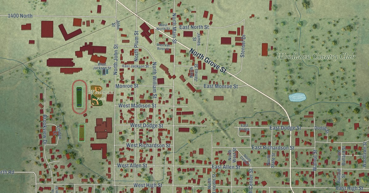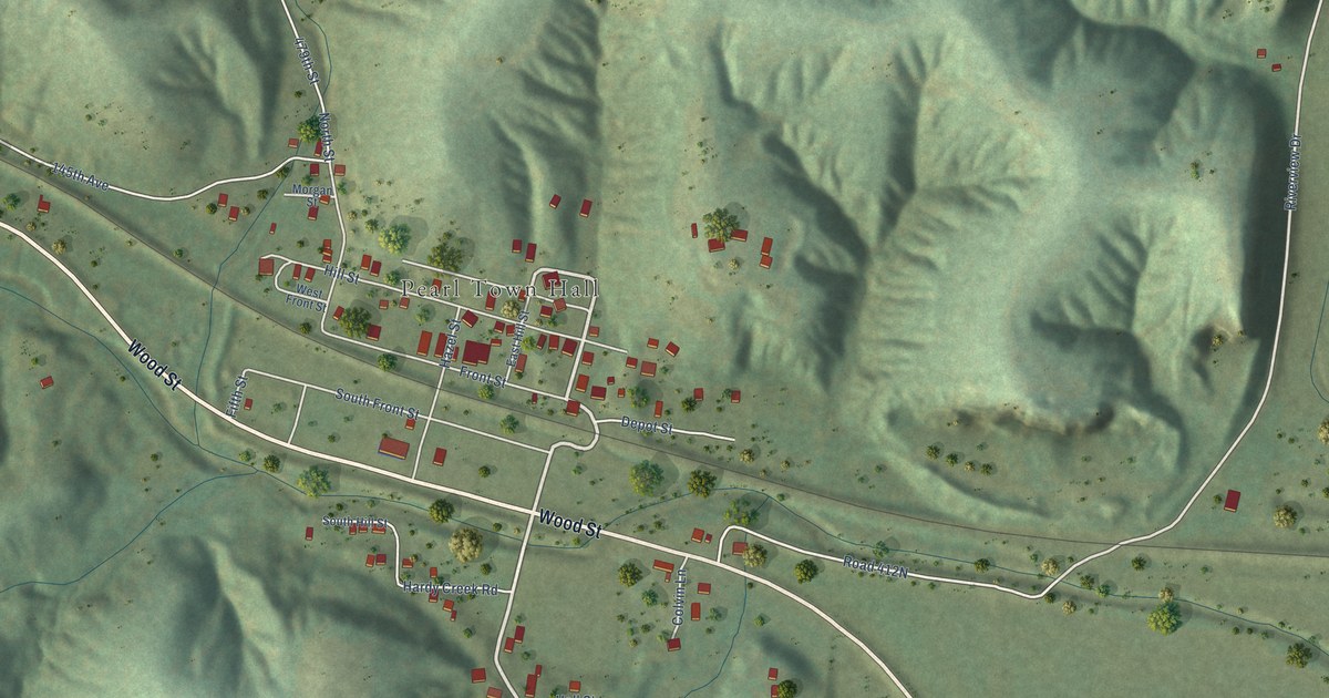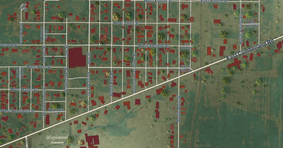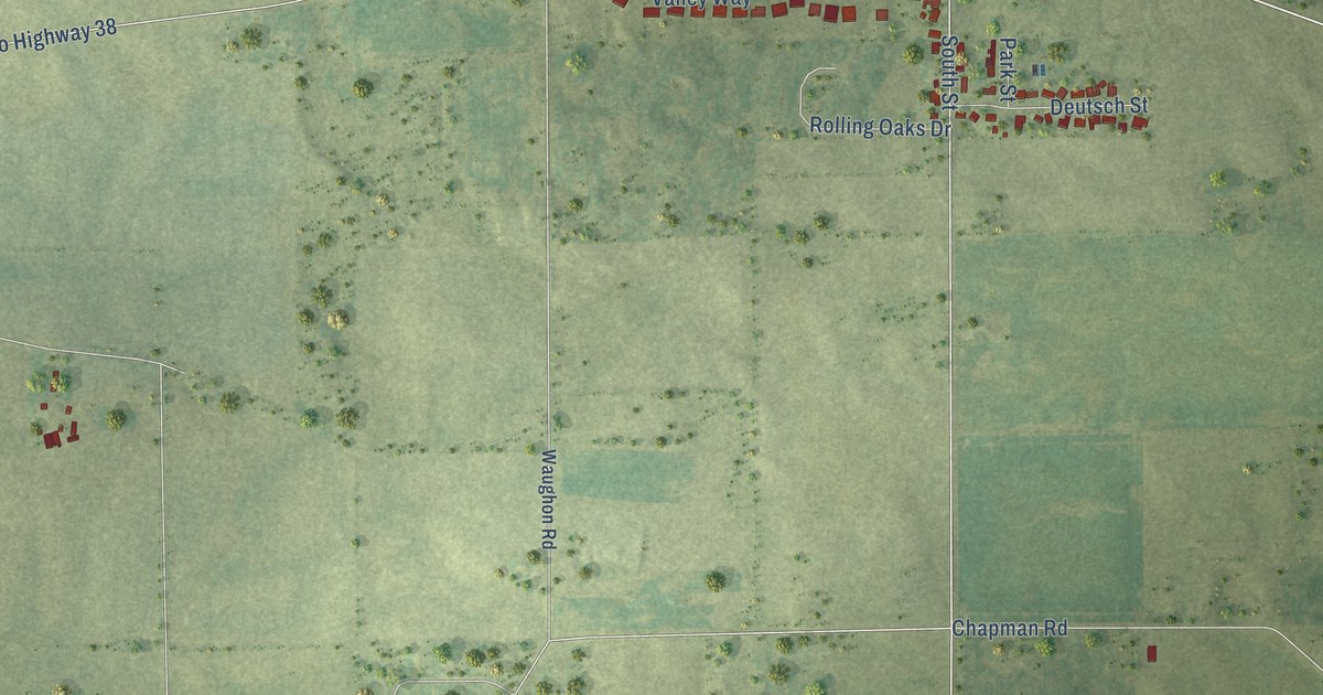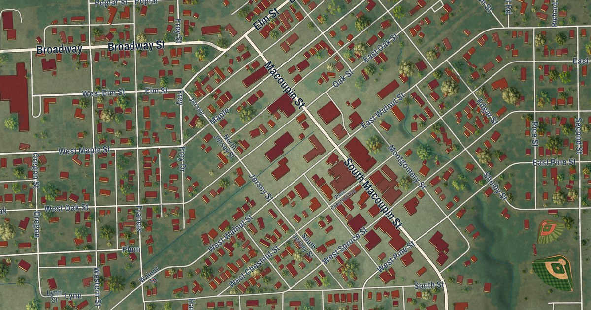
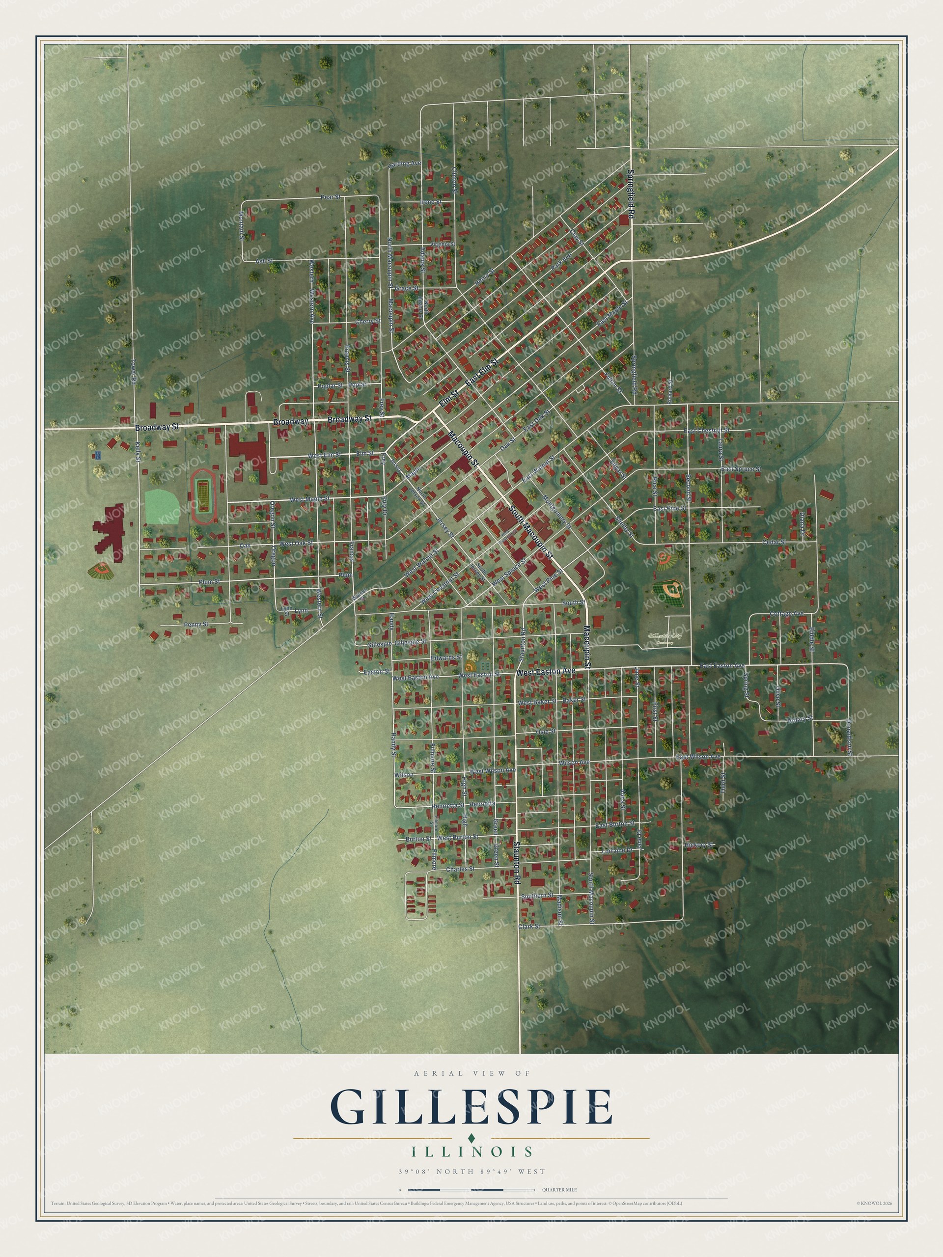
This beautifully detailed map of Gillespie, Illinois was created in 2026 using aerial imagery combined with modern topographical, census, street and landmark data. It's a modern aerial view of Gillespie in Macoupin County, Illinois, that combines modern data with a vintage aesthetic. The roads feature printed names, and if you look closely you can find your exact house accurately shown in its correct location.
Explore an aerial view of Gillespie, Illinois
On this map you'll find Gillespie City Cemetery, Broadway Street, West Easton Avenue, Broadway, Macoupin Street, South Macoupin Street, East Elm Street, Staunton Road, Elm Street, Springfield Road, West Elm Street, Easton Street, and more. Each red shape is a building, so zoom in on the preview and look for yours.
Gillespie has a story worth telling. The Macoupin County History puts it this way: "The village of Gillespie is located on section 24. The original proprietor was Philander C. Huggins."
Gillespie is a city in Macoupin County. The Census Bureau counted 3,168 people here in 2020.
Take a closer look at the Gillespie map
Names on this map
These names are printed on this map.
Places: Gillespie City Cemetery.
Streets and roads: Broadway Street, West Easton Avenue, Broadway, Macoupin Street, South Macoupin Street, East Elm Street, Staunton Road, Elm Street, Springfield Road, West Elm Street, Easton Street, East Easton Avenue.
More street names, A to Z
Abba Street, Adams Street, Ash Street, Baker Street, Biddle Street, Burton Street, Cedar Street, Charles Street, Cherry Street, Clark Street, Clay Street, Clinton Street, Cottage Avenue, Diana Drive, Donaldson Street, East Burton Street, East Chestnut Street, East Maple Street, East Oak Street, East Pine Street, East Spruce Street, East Walnut Street, East Wilson Avenue, Edgar Street, Edwards Street, Fillmore Street, Filmore, Filmore Street, First Street, Francis, Francis Street, Frey, Frey Drive, Frey Street, Fulton Street, Gillespie, Gillespie Street, Grace Street, Green, Green Street, Handy, Handy Street, Harding Avenue, Henrietta, Henrietta Street, Henry Street, Hickory Street, High, High Street, Irene Street, Jane Drive, Jane Street, Jersey, Jersey Street, Kelly Street, Laura Street, Lorraine Drive, Lynn, Lynn Street, Madison Street, Maple, Montani Street, Montgomery Street, North Adams Street, North Jersey Street, North Macoupin Street, Oak, Oak Street, Olive Street, Oregon, Oregon Street, Osie Street, Park Avenue, Pear Street, Penny Street, Plum, Plum Street, Poplar, Poplar Street, Rice Street, Richard Street, Rotary Street, Second Street, Shelby Street, Southern Street, South Jersey Street, South Street, Spring Street, Third Street, Tower Road, Virginia Street, Walnut Street, West Baker Street, West Burton Street, West Chestnut Avenue, West Chestnut Street, West Easton Street, Western, Western Avenue, Western Street, West Maple Street, West Oak Street, West Pine Street, West Spruce Street, West Walnut Street, West Wilson Avenue, Wilson, Wilson Avenue.
Created by KNOWOL in 2026. The buildings are small red shapes, the roads carry their printed names, and shaded relief shows the shape of the land. The title panel reads "AERIAL VIEW OF GILLESPIE ILLINOIS" with 39°08' NORTH 89°49' WEST.
It looks right in a kitchen, an office or a den, and it's a gift for anyone who grew up in Gillespie or moved away. Open the preview and find your street. See sizes and frames for the Gillespie map.