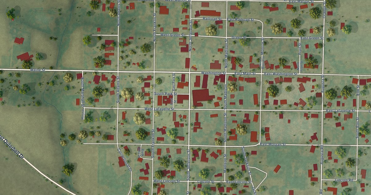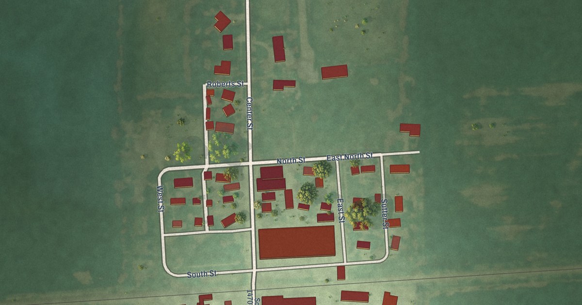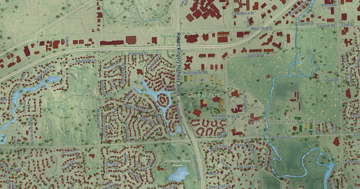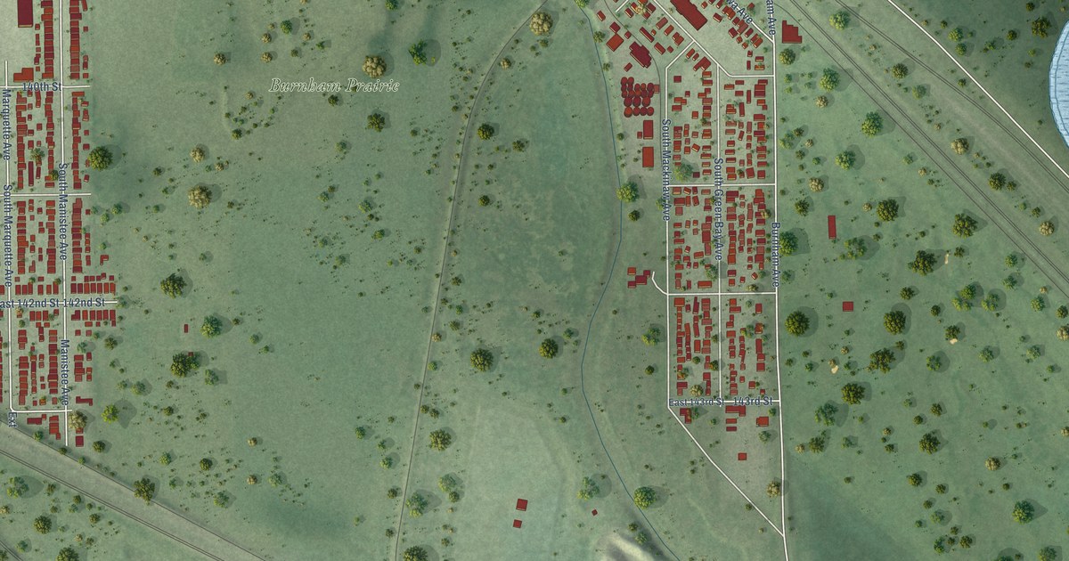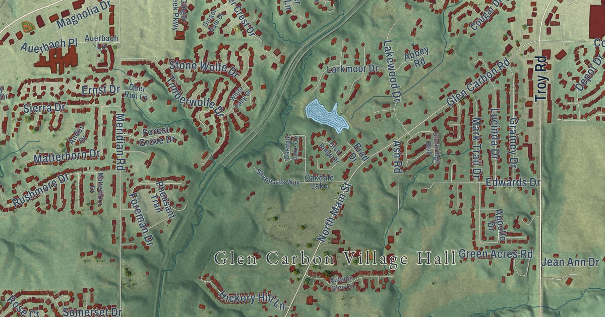
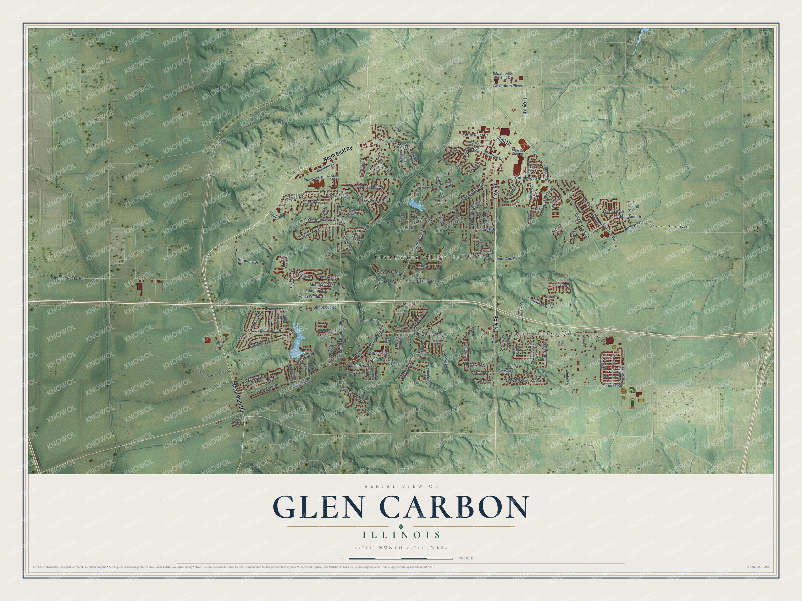
This beautifully detailed map of Glen Carbon, Illinois was created in 2026 using aerial imagery combined with modern topographical, census, street and landmark data. It’s a one-of-a-kind view of Glen Carbon that combines accurate data with a vintage aesthetic. The map shows every building in its true location, many of the roads carry their names, and the shaded topographic relief shows the shape of the land.
Explore an aerial view of Glen Carbon, Illinois
On the map you’ll find Glen Carbon Village Hall, Mont Station, Glen Carbon Crossing, Greenspace East Park, and Miner Park, along with North Bluff Road, Troy Road, Illini Drive, Glen Carbon Road, Cottonwood Road, Old Troy Road, Ginger Creek Drive, and more. If you look closely you can even find your house accurately drawn in its correct location. Zoom in on the preview to look for yours.
Did you know this piece of Glen Carbon, Illinois history?
From the Madison Historical: "In 1801, Colonel Samuel Judy was the first American to settle the area that would become Glen Carbon."
Take a closer look at the Glen Carbon map
Street and place names on the Glen Carbon, Illinois map
These names are printed on the map of Glen Carbon, Illinois.
Places: Glen Carbon Village Hall, Mont Station, Glen Carbon Crossing and Oakdale Lake.
Streets and roads: North Bluff Road, Troy Road, Illini Drive, Glen Carbon Road, Governors Parkway, South Main Street, Center Street, North Main Street, Auerbach Place, Glen Crossing Road, Meridian Road, West Main Street.
More street names, A to Z
Abbey Road, Alta Street, Andes Drive, Appollo Drive, Ashford Drive, Ashley Drive, Ash Road, Aspen Point, Auerbach Lane, Augusta Drive, Austin Avenue, Autumn Glen Drive, Barkwood Lane, Bayfield Drive, Bayhill Boulevard, Benes Street, Biloxi Drive, Birger Avenue, Bluffview Commerce Park Drive, Bollinger Street, Bouse Road, Brad Drive, Brenda Street, Bristol Way, Carma Street, Carroll Lane, Cedar Lane, Chain of Rocks Road, Clay Street, Coleridge Drive, Connector, Cottonwood Road, Cottonwood Trce, Cougar Drive, Country Maples Drive, Covered Bridge Lane, Crestview Drive, Crystal Court, Crystal Gate, Dean Park Place, Deer Run Lane, Depot Drive, Dogwood Estate, Downing Place, East Ingle Drive, Edwards Drive, Edwards Street, Edwardsville Crossing Drive, Ellington Court, Elmwood Drive, Elsie Avenue, Ernst Drive, Estate Lane, Fairview Drive, Foreman Drive, Forest Grove Drive, Forest Ridge Court, Fountain Drive, Fox Trail Drive, Game Drive, Ginger Bend, Ginger Creek Drive, Ginger Creek Parkway, Ginger Crest Drive, Ginger Dale Drive, Ginger Ridge Lane, Girl Scout Road, Glendale Drive, Glen Echo Drive, Glen Ridge Drive, Glenview Inn, Glenwood Drive, Grainey Drive, Green Acres Road, Hampton Drive, Harmony Drive, Hickory Hill Lane, Holly Drive, Jamie Lynn Lane, Jason Drive, Jean Ann Drive, Jennifer Drive, Jo Lee Lane, Julie Drive, Junction Drive, Kettle River Drive, Kinder Place, Kingsbrooke Boulevard, Kingsley Way, Lake Hillcrest Drive, Lakewood Drive, Larkmoor Drive, Lilac Street, Lucinda Drive, Madison Avenue, Magnolia Drive, Mark Trail Drive, Matterhorn Court, Matterhorn Drive, Meridian Oaks Drive, Michelle Drive, Middlegate Lane, Morningside Drive, Northbay Court, Oakdale Lake Circle, Oaklawn Drive, Oaklawn Road, Oakshire Drive East, Oakshire Drive West, Old Orchard Lane, Old Troy Road, Olivia Lane, Oxford Lane, Paddock Lane, Pheasant Trail, Pioneer Trail, Richmond Drive, Rose Court, Rosin Street, Rushmore Drive, Savannah Court, Savannah Drive, School Street, Shaderest Court, Sheppards Way, Sherwood Drive, Sierra Drive, Smola Woods Court, Somerset Drive, South Meridian Road, South Station Road, South Trace Court, Squire Drive, Star Lane, Steiss Street, Stone Wolfe Drive, Sturbridge Boulevard, Summit Avenue, Sunset Avenue, Timberwolfe Drive, Trail End, Village Circle Drive, Village Drive, Walden Drive, Waterford Lane, Werner Drive, Westchester, Westglen Drive, West Ingle Drive, Westminster Street, Whistle Stop Drive, White Fang Drive, Wren Lane.
See the Glen Carbon, Illinois map on a wall
The Glen Carbon map as an 18 x 24 inch print in a black frame.

This beautifully detailed map of Glen Carbon makes an attractive addition to your office, library, or den, and it can even be used to teach children the geography and history of the area. It also makes a great gift for someone who left Glen Carbon and still calls it home. When you’re done exploring, click here to get your copy of the Glen Carbon map.