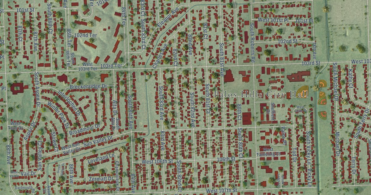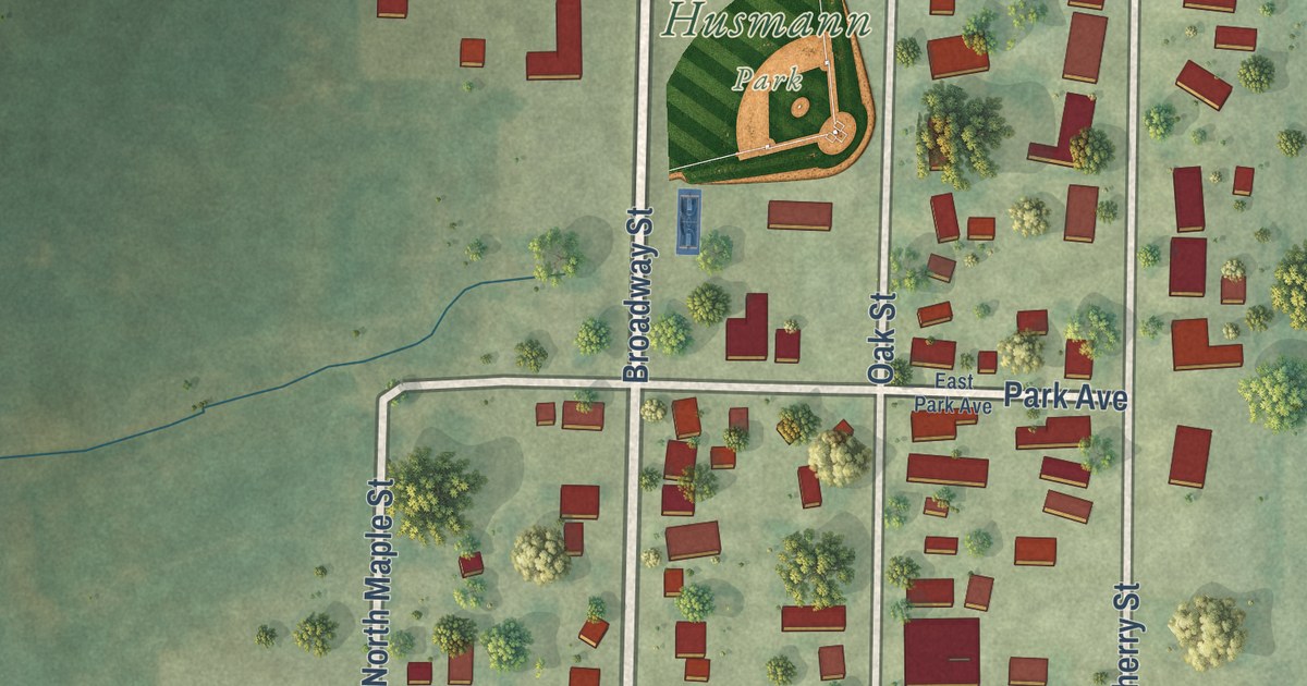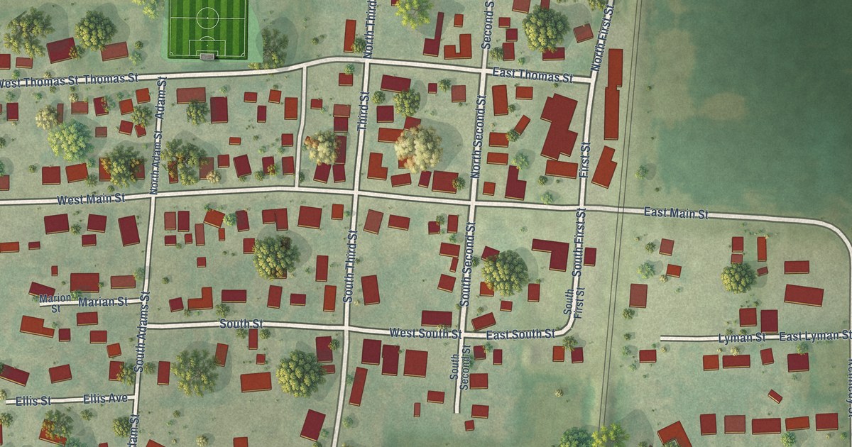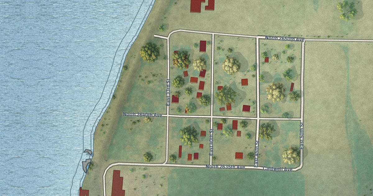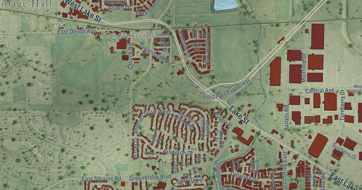
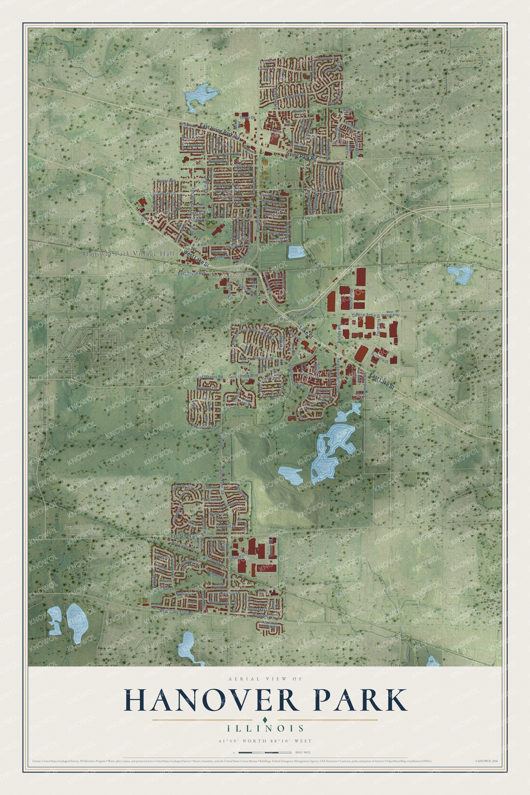
This beautifully detailed map of Hanover Park, Illinois was created in 2026 using aerial imagery combined with modern topographical, census, street and landmark data. It’s a one-of-a-kind view of Hanover Park that combines accurate data with a vintage aesthetic. The map shows every building in its true location, many of the roads carry their names, and the shaded topographic relief shows the shape of the land.
Explore an aerial view of Hanover Park, Illinois
On the map you’ll find Hanover Park Village Hall, Schick, and Ontarioville, along with West Lake Street, East Lake Street, Irving Park Road, East Irving Park Road, Lake Street, County Farm Road, East Schick Road, Kingsbury Drive, Arlington Drive, and more. If you look closely you can even find your house accurately drawn in its correct location. Zoom in on the preview to look for yours.
Did you know this piece of Hanover Park, Illinois history?
From the Village of Hanover Park: "To avoid getting swallowed up by neighboring communities, the residents vote to incorporate the Village of Hanover Park. It becomes official on August 14, 1958, and Ontarioville is not included."
Take a closer look at the Hanover Park map
Street and place names on the Hanover Park, Illinois map
These names are printed on the map of Hanover Park, Illinois.
Places: Hanover Park Village Hall, Schick and Ontarioville.
Streets and roads: West Lake Street, East Lake Street, Irving Park Road, East Irving Park Road, Lake Street, County Farm Road, East Schick Road, Kingsbury Drive, Arlington Drive, Arlington Drive East, Longmeadow Lane, Turnberry Drive.
More street names, A to Z
Amarillo Street, Andover Drive East, Andover Drive West, Apple Tree Street, Arbor Vitae Drive, Arlington Circle, Arlington Drive West, Aspen Drive, Astor Avenue, Baldwin Lane, Barr Court, Barrington Road, Bartels Road, Bayside Drive, Bell Drive, Bell Lane, Berkshire Drive, Beverly Circle East, Birch Avenue, Bolton Way, Briarwood Avenue, Bristol Court, Bristol Lane, Brookside Drive, Burr Oak Street, Cambridge Way, Camden Lane, Carlisle Drive, Carmel Drive, Carnaby Court South, Catalina Drive, Catalpa Street, Cedar Avenue, Center Avenue, Central Avenue, Chandler Drive, Cherry Avenue, Chestnut Street, Churchill Drive, Church Road, Church Street, Cinema Drive East, Citation Lane, Cloverdale Road, Countryside Drive, Court Maria, Cove Drive, Coventry Drive, Cumberland Drive, Cynthia Lane, Cypress Avenue, Dahlia Drive, Dartmouth Lane, De Forest Lane, Don Carlos Drive, Driftwood Lane, Dublin Lane, East Avenue, East Celebrity Circle, East Devon Avenue, Eastman Lane, Easton Court, East Stearns Road, Edgebrook Lane, Edison Circle, Elgin O'Hare Expressway, Elm Avenue, Elm Court, Essex Court, Evergreen Avenue, Farmstead Lane, Fonda Lane, Fremont Drive, Fulton Lane, Garbo Lane, Gladiola Avenue, Glenwood Lane, Gold Circle, Grand Duell Way, Green Bridge Lane, Greenbrook Boulevard, Grosse Pointe Circle, Hanover Street, Harbor Lane, Hartmann Drive, Hastings Lane, Hawthorne Lane, Hemlock Street, Hialeah Lane, Hickory Street, Highland Street, Hillcrest Avenue, Hollywood Avenue, Howe Lane, Hunter Road, Indian Hill Avenue, Indigo Court, Iris Avenue, Island Circle, Jasmine Drive, Jefferson Street, Jensen Boulevard, Jonquil Terrace, Juniper Street, Kit Carson Drive, Ladd Lane, Laurel Avenue, Laurie Lane, Leeward Lane, Leslie Lane, Liberty Street, Linden Avenue, Lucille Lane, Madera Street, Magnolia Street, Mallard Lane, Maple Avenue, Maplewood Avenue, Marigold Lane, Marine Drive, Martin Lane, McCormick Lane, Meadowbrook Lane, Merrimac Lane North, Millpond Lane, Morton Road, Muirfield Drive, Mulberry Street, Narcissus Avenue, Nautilus Lane, Newport Circle, Northway Drive, Oak Avenue, Oak Street, Oakwood Avenue, Olde Salem Circle, Olde Salem Road, Old Mill Lane, Olivia Lane, Ontarioville Road, Orchard Lane, Osage Lane, Park Avenue, Pastoral Lane, Peach Tree Street, Pennsbury Lane, Persimmon Street, Pine Tree Street, Pinetree Street, Plum Tree Lane, Poplar Avenue, Port Drive, Princeton Circle, Redwood Avenue, Ring Court, Roosevelt Road, Saint Ann Drive, Saint Clair Lane, Sandpiper Drive, Santa Anita Drive, Santa Cruz Drive, Schooner Lane, Scott Lane, Seaview Drive, Seneca Drive, Sequoia Drive, Shoal Drive, Spinnaker Lane, Spruce Avenue, Star Drive, Sunset Drive, Sutter Drive, Sycamore Avenue, Sycamore Lane, Tanglewood Avenue, Tower Drive, Turnberry Court, Unit Court, Walnut Avenue, Waterfall Lane, West Army Trail Road, West Avenue, West Celebrity Circle, West Central Avenue, Whaler Lane, Whirlaway Lane, Whitney Drive, Wildwood Lane, Windjammer Lane, Windmill Drive, Windsor Lane, Windward Lane, Woodlake Drive, Wright Lane, Yorkshire Drive, Zeppelin Drive.
See the Hanover Park, Illinois map on a wall
The Hanover Park map as an 18 x 24 inch print in a black frame.

This beautifully detailed map of Hanover Park makes an attractive addition to your office, library, or den, and it can even be used to teach children the geography and history of the area. It also makes a great gift for anyone who grew up in Hanover Park or moved away. When you’re done exploring, click here to get your copy of the Hanover Park map.