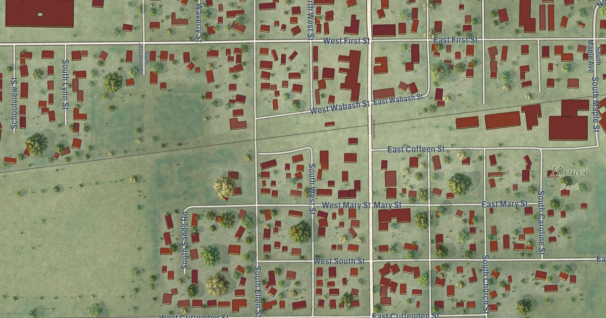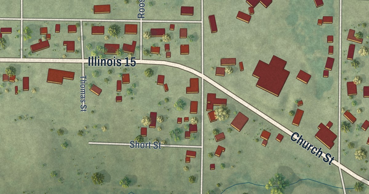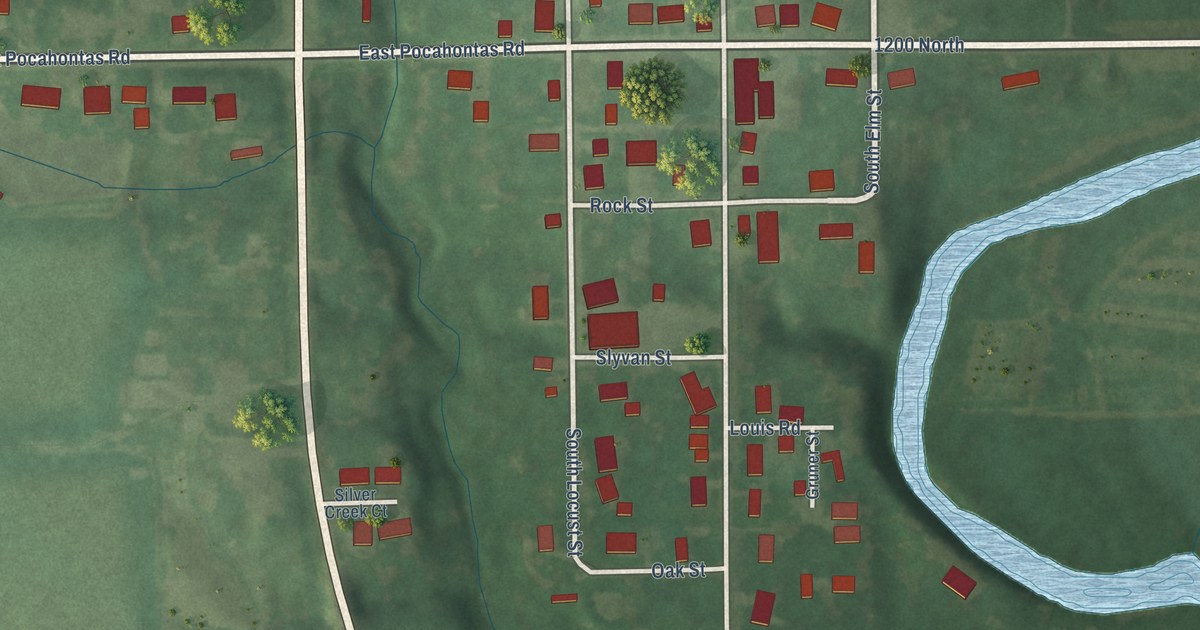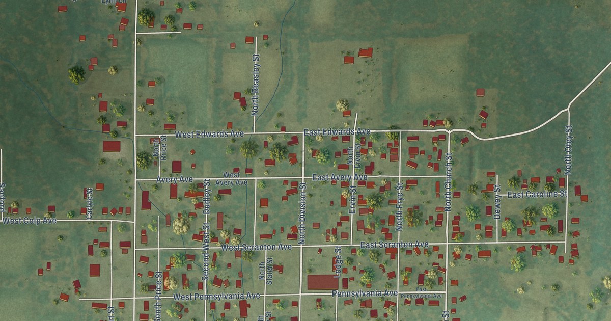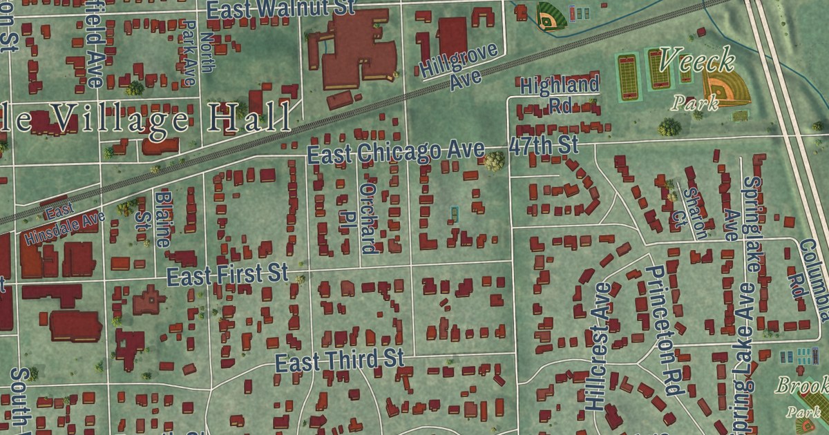
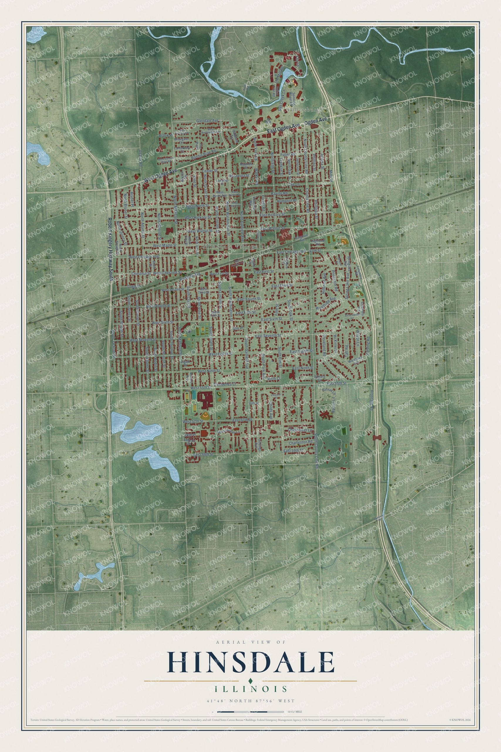
This beautifully detailed map of Hinsdale, Illinois was created in 2026 using aerial imagery combined with modern topographical, census, street and landmark data. It’s a one-of-a-kind view of Hinsdale that combines accurate data with a vintage aesthetic. The map shows every building in its true location, many of the roads carry their names, and the shaded topographic relief shows the shape of the land.
Explore an aerial view of Hinsdale, Illinois
On the map you’ll find Hinsdale Village Hall, Fullersburg, Katherine Legge Memorial Park, Robbins Park, Veeck Park, Peirce Park, and Brook Park, along with East Ogden Avenue, West Ogden Avenue, Robert Kingery Highway South, Ogden Avenue, South Washington Street, and more. If you look closely you can even find your house accurately drawn in its correct location. Zoom in on the preview to look for yours.
Did you know this piece of Hinsdale, Illinois history?
From the Encyclopedia of Chicago: "During the 1890s Hinsdale installed a water pumping station, wood and brick-paved roads (1892), electric streetlights (1896), and a telephone exchange (1896)."
Take a closer look at the Hinsdale map
Street and place names on the Hinsdale, Illinois map
These names are printed on the map of Hinsdale, Illinois.
Places: Hinsdale Village Hall, Fullersburg, Veeck Park and Brook Park.
Streets and roads: East Ogden Avenue, West Ogden Avenue, Robert Kingery Highway South, Ogden Avenue, West 55th Street, North Washington Street, North County Line Road, East 55th Street, East Hickory Street, County Line Road, Mills Street, Glendale Avenue.
More street names, A to Z
47th Street, 56th Street, 58th Place, Adams Road, Allmen Avenue, Ashbury Drive, Barton Lane, Bittersweet Lane, Blaine Street, Bodin Street, Bonnie Brae Road, Briargate Terrace, Brook Place, Bruner Place, Camberley Court, Canterbury Court, Center Street, Chanticleer Lane, Charleston Road, Chestnut Street, Childs Avenue, Cleveland Road, Columbia Avenue, Columbia Road, East 57th Street, East 59th Street, East Ayres Avenue, East Chicago Avenue, East Eighth Street, East Fifth Street, East First Street, East Fourth Street, East Hinsdale Avenue, East Kennedy Lane, East Ninth Street, East North Street, East Seventh Street, East Sixth Street, East Third Street, East Walnut Street, Eighth Place, Elm Street, Elmwood Place, Fifth Street, Forest Road, Fox Lane, Franklin Street, Frontage Road, Fuller Road, Giddings Avenue, Hampton Place, Hannah Lane, Harding Road, Highland Road, Hillcrest Avenue, Hillgrove Avenue, Hinsdale Avenue, Indian Trail Road, Jefferson Street, Justina Street, Lansing Street, Maumell Street, Mc Kinley Lane, Minneola Street, Ninth Court, North Adams Street, North Bruner Street, North Clay Street, North Elm Street, North Garfield Avenue, North Grant Street, North Lincoln Street, North Madison Street, North Monroe Street, North Oak Street, North Park Avenue, North Quincy Street, North Stough Street, North Vine Street, North York Road, Oakwood Terrace, Old Mill Road, Orchard Place, Pamela Circle, Phillipa Street, Phillippa Street, Plainfield Road, Princeton Road, Radcliffe Way, Ravine Road, Salt Creek Lane, Sharon Court, South Adams Street, South Bodin Street, South Bruner Street, South Clay Street, South County Line Road, South Elm Street, South Garfield Avenue, South Grant Street, South Jackson Street, South Lincoln Street, South Madison Street, South Monroe Street, South Oak Street, South Park Avenue, South Quincy Street, South Stough Street, South Thurlow Street, South Vine Street, South Washington Street, Spinning Wheel Road, Spring Lake Avenue, Springlake Avenue, Taft Road, The Lane, The Pines, Town Place, Ulm Place, Vine Street, Walker Road, Warren Terrace, West 57th Street, West 59th Street, West Ayres Avenue, West Birchwood Avenue, West Birchwood Road, West Bonnie Brae Road, West Chestnut Street, West Chicago Avenue, West Eighth Street, West Fifth Street, West First Street, West Fourth Street, West Hickory Street, West Maple Street, West Ninth Street, West North Street, West Second Street, West Seventh Street, West Sixth Street, West Third Street, West Walnut Street, Wilson Lane, Woodland Avenue, Woodside Avenue, York Road.
See the Hinsdale, Illinois map on a wall
The Hinsdale map as an 18 x 24 inch print in a black frame.

This beautifully detailed map of Hinsdale makes an attractive addition to your office, library, or den, and it can even be used to teach children the geography and history of the area. It also makes a great gift for anyone who grew up in Hinsdale or moved away. When you’re done exploring, click here to get your copy of the Hinsdale map.