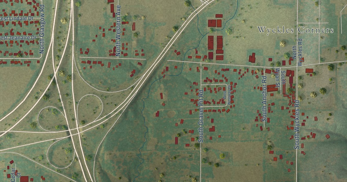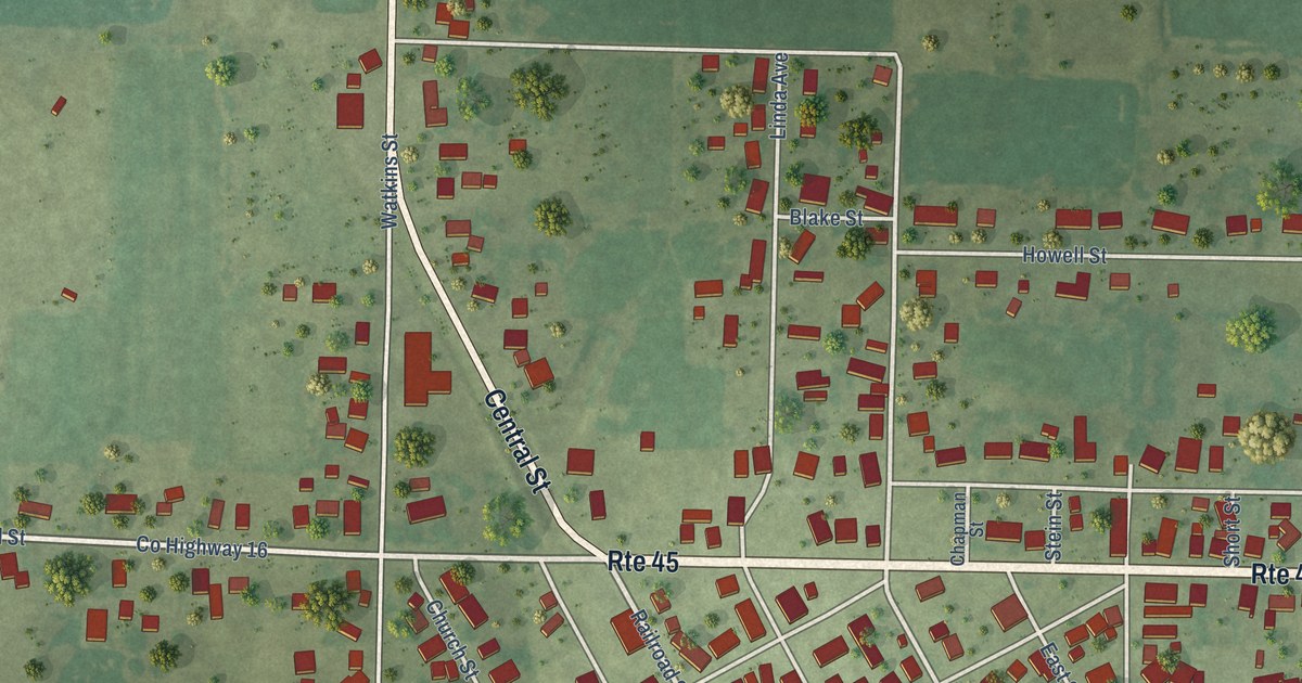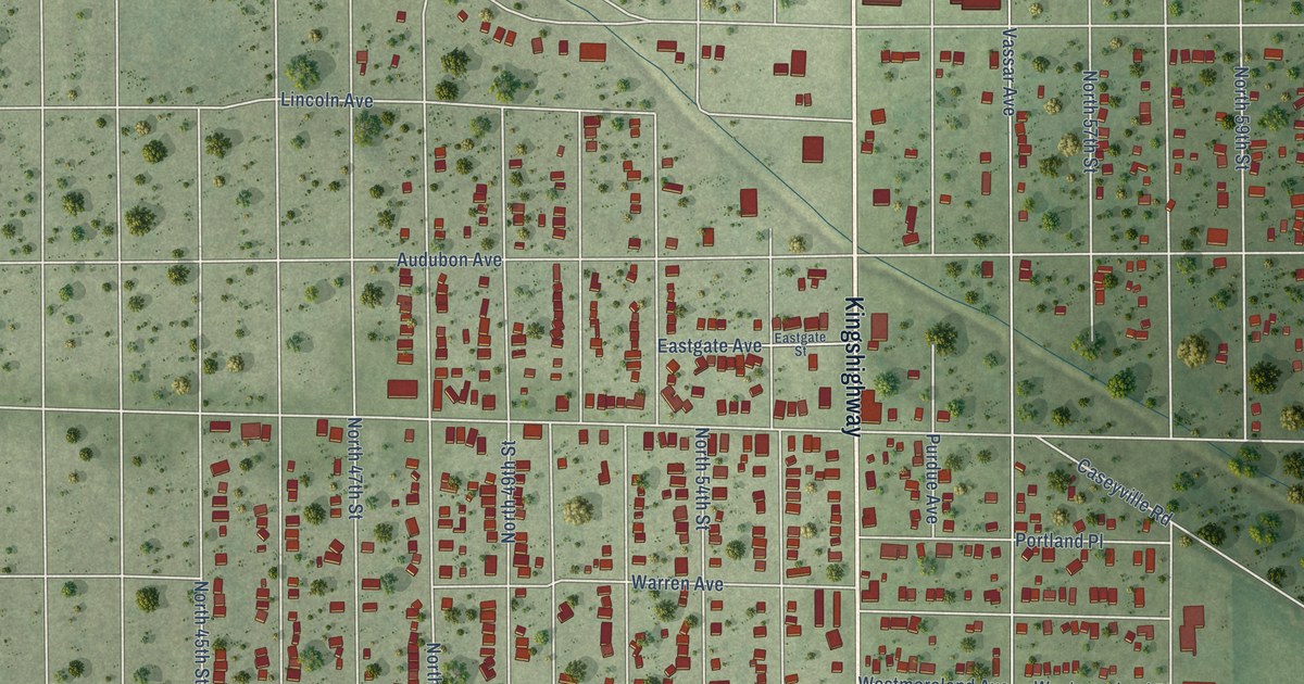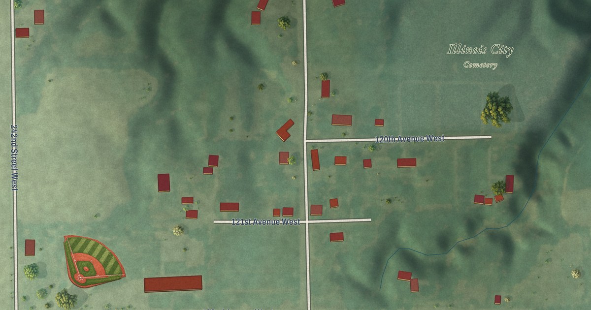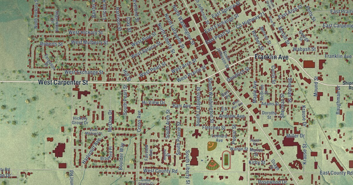
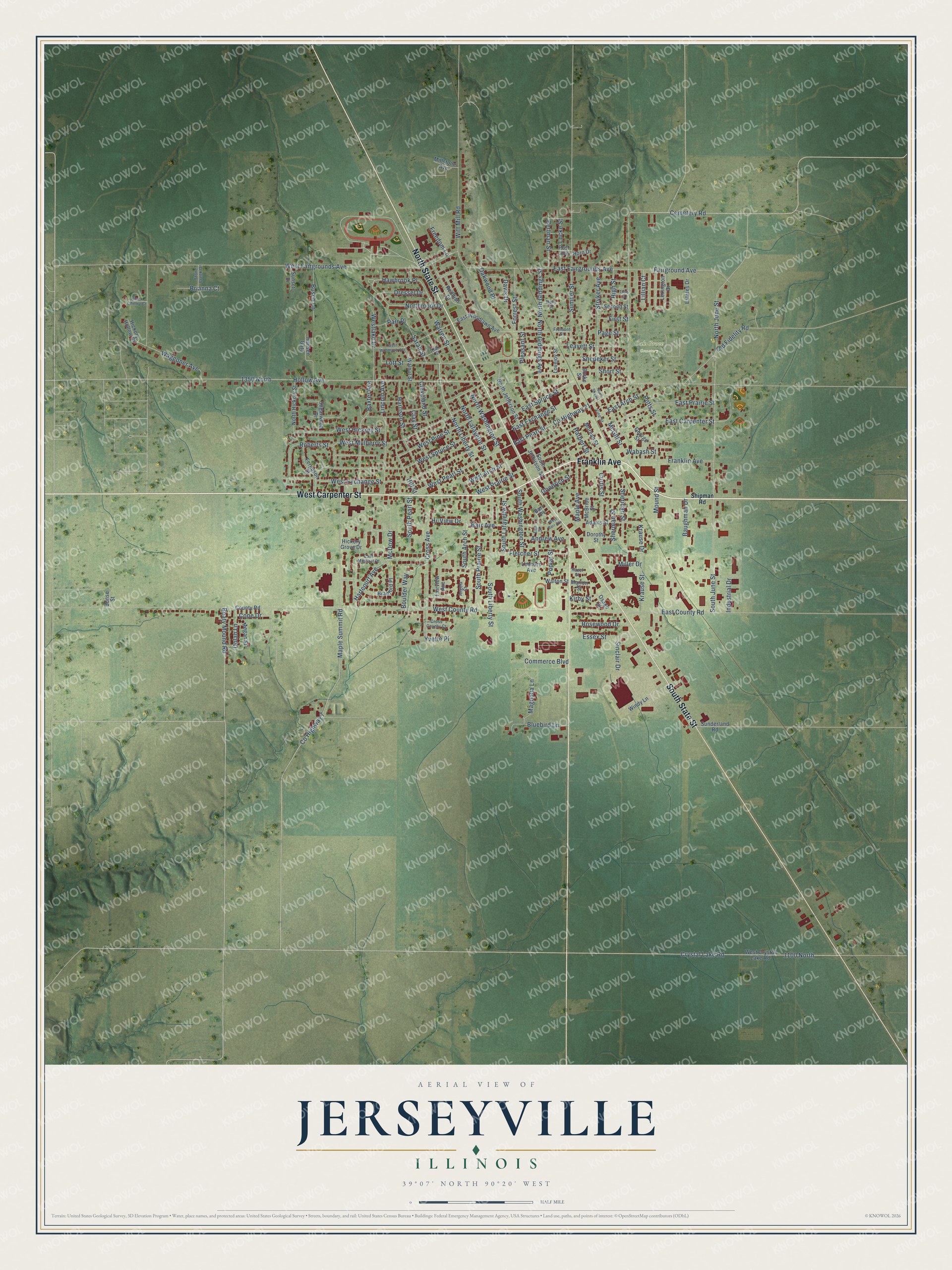
This beautifully detailed map of Jerseyville, Illinois was created in 2026 using aerial imagery combined with modern topographical, census, street and landmark data. It’s a one-of-a-kind view of Jerseyville that combines accurate data with a vintage aesthetic. The map shows every building in its true location, many of the roads carry their names, and the shaded topographic relief shows the shape of the land.
Explore an aerial view of Jerseyville, Illinois
On the map you’ll find Oak Grove Cemetery, along with West Carpenter Street, Franklin Avenue, South State Street, North State Street, South Liberty Street, North Liberty Street, Barr Avenue, East Carpenter Street, South Arch Street, West Pearl Street, County Highway 21, and more. If you look closely you can even find your house accurately drawn in its correct location. Zoom in on the preview to look for yours.
Did you know this piece of Jerseyville, Illinois history?
From the Jersey County History: "The First Presbyterian Church of Jerseyville was a small frame structure, erected at the corner of State and Carpenter streets."
Take a closer look at the Jerseyville map
Street and place names on the Jerseyville, Illinois map
These names are printed on the map of Jerseyville, Illinois.
Places: Oak Grove Cemetery.
Streets and roads: West Carpenter Street, Franklin Avenue, South State Street, North State Street, South Liberty Street, North Liberty Street, Barr Avenue, East Carpenter Street, South Arch Street, West Pearl Street, County Highway 21, East Pearl Street.
More street names, A to Z
1100 North, 1350 North, Adams Street, Andrew Avenue, Angela Court, Barr Place, Baughman Drive, Baxter Avenue, Beaty Mound Road, Bertman Street, Black Cherry Court, Bluebird Lane, Boulder Way, Bradford Place, Brianna Court, Bunse Street, Burke Street, Busch Lane, Cemetery Road, Clay Street, Cleveland Street, Commerce Boulevard, Cope Drive, County Highway 7, County Road, Cross Avenue, Cross County Court, Crystal Lake Road, Curtis Street, Davis Drive, Dolan Lane, Dorothy Street, Dressel Drive, East Arch Street, East County Road, East Exchange Street, East Fairgrounds Avenue, East Michael Place, East Prairie Street, East Spruce Street, East Woodlawn Avenue, Elm Street, Essex Street, Estates Drive, Fairground Avenue, Fairview Avenue, Ferguson Street, First Street, Fletcher Street, Forrest Street, Freedom Lane, Fremont Street, George Street, Goodrich Street, Hansen Gata, Harbert Street, Harrison Street, Hartcourt Avenue, Hawbrook Place, Hazel Street, Hi-View Drive, Hickory Grove Drive, Hickory Hollow Court, High Street, Hill Street, Hollow Avenue, Horn Drive, Industrial Drive, Kirby Street, Krause Drive, Krause Street, Leavett Street, Leonard Avenue, Lexington Drive, Lillian Court, Lincoln Avenue, Locke Street, Lott Street, Lovejoy Street, Magnolia Lane, Maple Avenue, Maple Summit Road, Marion Street, Mary Street, McBride Street, McDow Drive, McGill Street, Megan Street, Miller Drive, Millstone Avenue, Morean Street, Mound Street, North Giddings Avenue, North Giddings Street, North Hickory Street, North Jefferson Street, North June Street, North Lafayette Street, Northmoor Drive, North Stryker, North Washington Street, Oak Street, Oakwood Place, Old Fidelity Road, Osage Street, Page Street, Parr Place, Pleasant Street, Poplar Street, Post Avenue, Potts Street, Reddish Drive, Roberts Street, Rosewood Drive, Sarah Street, Second Street, Sheridan Street, Sherman Street, Shipman Road, Short Street, Sinclair Drive, Snedeker Street, South Jefferson Street, South June Street, South Lafayette Street, South Pearl Street, South Prairie Street, South Washington Street, Stone Creek Drive, Stryker Avenue, Sugarwood Drive, Sumner Street, Sunderland Road, Sunset Drive, Third Street, Vine Street, Wabash Street, Waggoner Avenue, Walnut Street, Walton Street, Warren Street, West Arch Street, West Barr Avenue, West County Road, West Crystal Lake Road, West Exchange Street, West Fairgrounds Avenue, West Hickory Street, Westlake Drive, West Mulberry Street, West Pine Street, West Prairie Street, West Spruce Street, West Woodlawn Avenue, Windy Lane, Witt Mill Road, Yvette Place.
See the Jerseyville, Illinois map on a wall
The Jerseyville map as an 18 x 24 inch print in a black frame.

This beautifully detailed map of Jerseyville makes an attractive addition to your office, library, or den, and it can even be used to teach children the geography and history of the area. It also makes a great gift for anyone with Jerseyville roots. When you’re done exploring, click here to get your copy of the Jerseyville map.