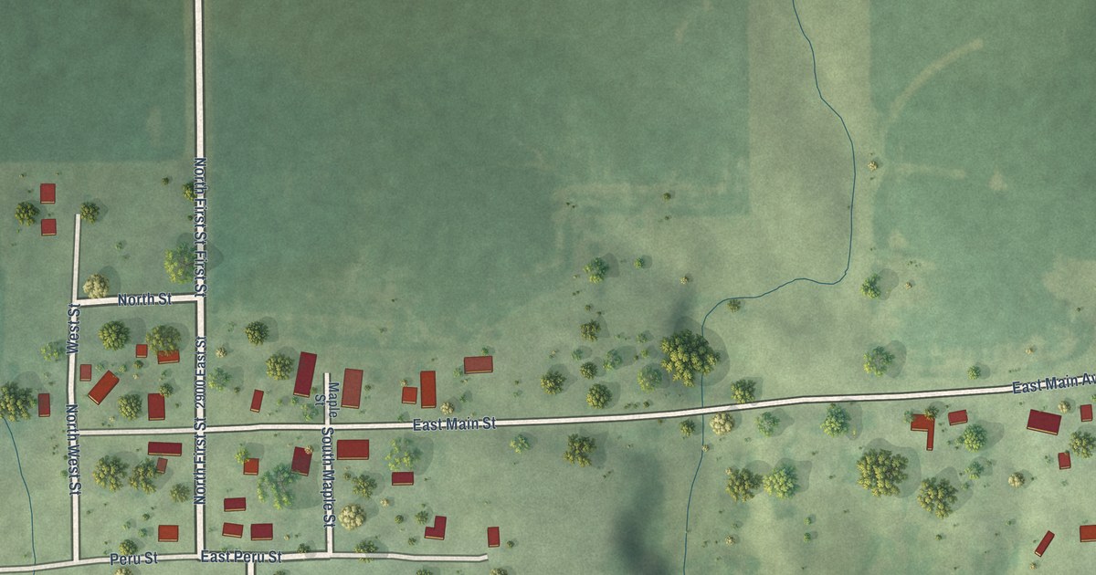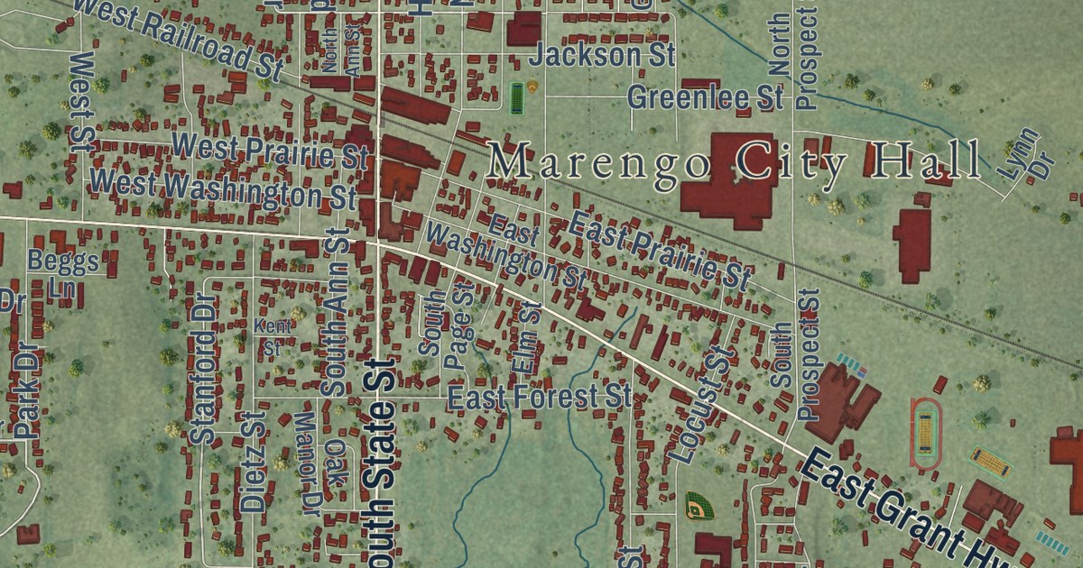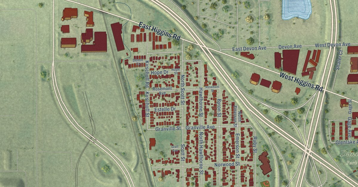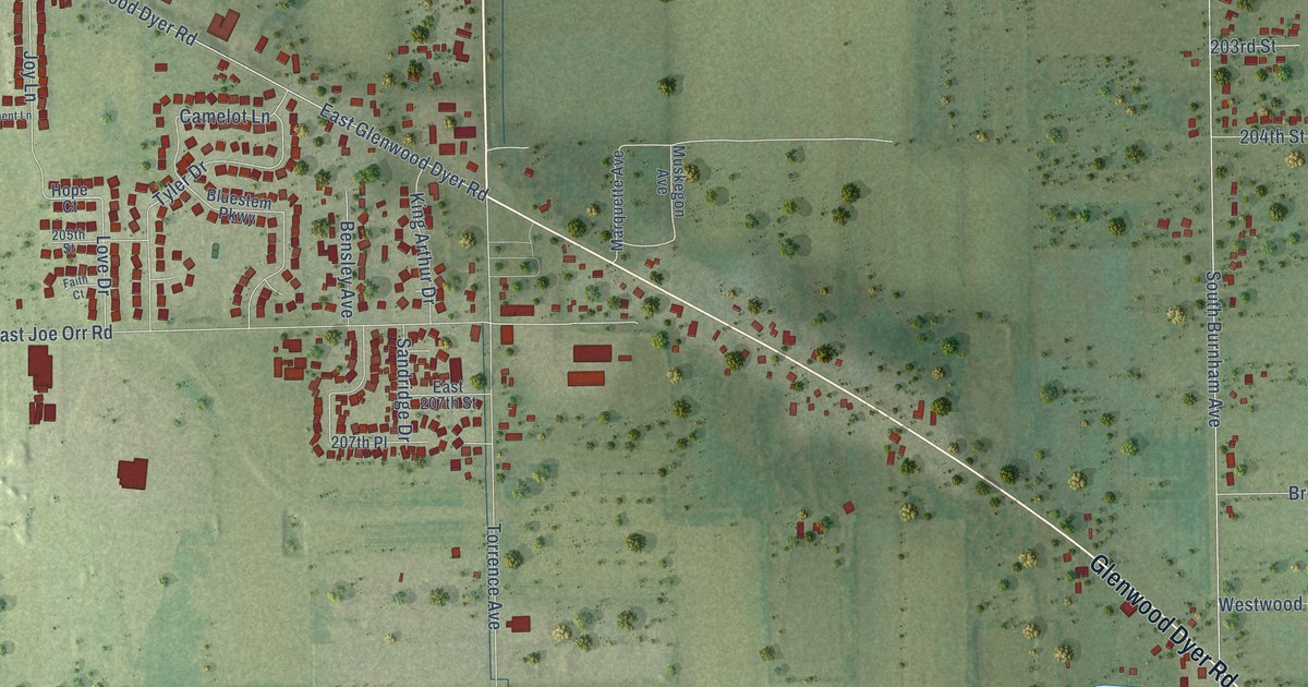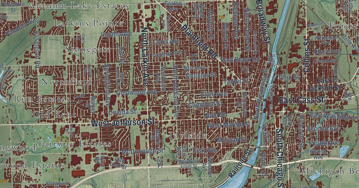
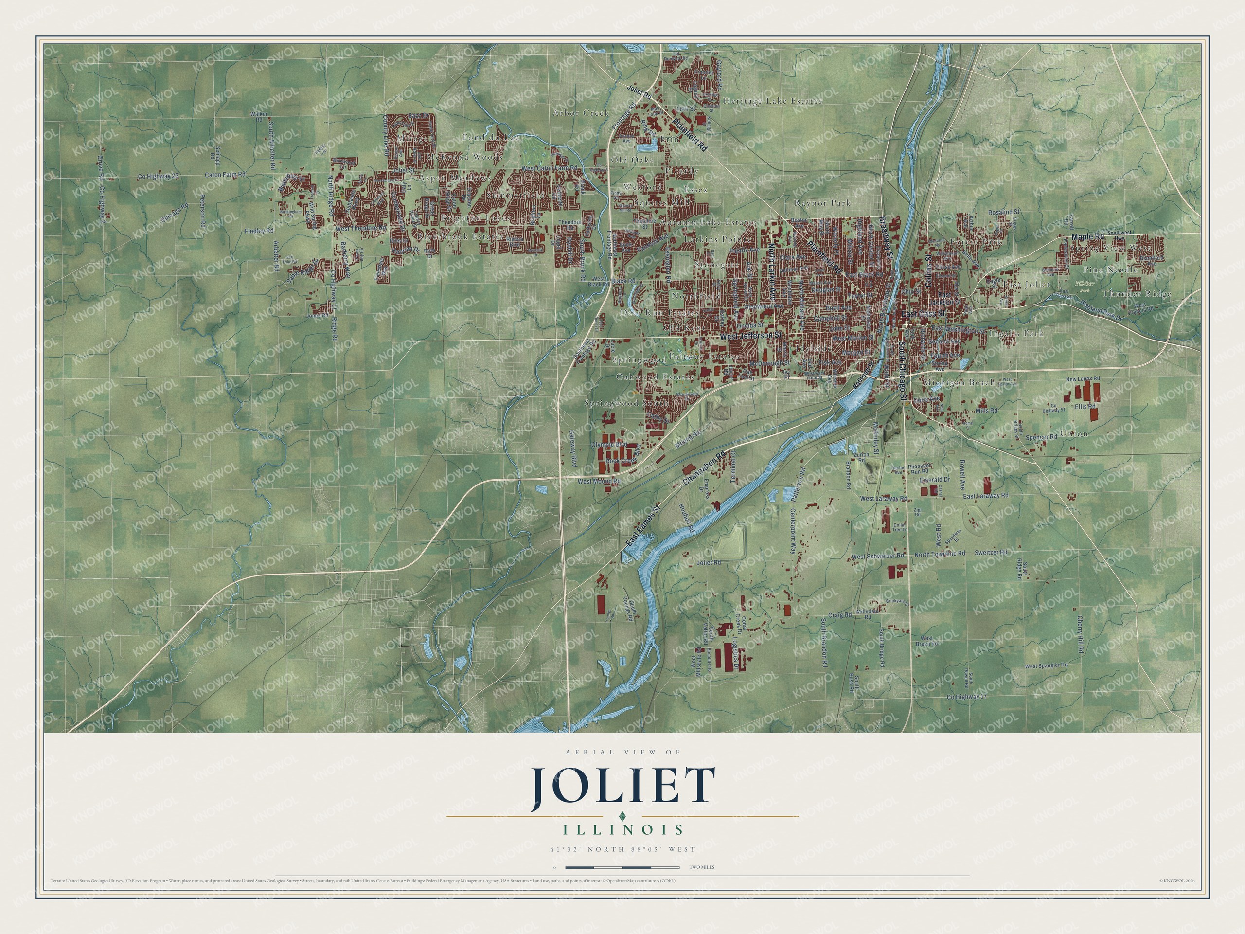
This beautifully detailed map of Joliet, Illinois was created in 2026 using aerial imagery combined with modern topographical, census, street and landmark data. It’s a one-of-a-kind view of Joliet that combines accurate data with a vintage aesthetic. The map shows every building in its true location, many of the roads carry their names, and the shaded topographic relief shows the shape of the land.
Explore an aerial view of Joliet, Illinois
On the map you’ll find Pilcher Park, Arbor Creek, Aspen Meadows, Autumn Lake Estates, Brighton Lakes, Brookside, Caton Farm, Chesnut Pointe, Coventry Heights, Crystal Lawns, Deer Run Estates, East Joliet, and more. If you look closely you can even find your house accurately drawn in its correct location. Zoom in on the preview to look for yours.
Did you know this about Joliet, Illinois?
From the Historical Encyclopedia of Illinois: "The bluff west of Joliet is said to have been first occupied by David and Benjamin Maggard."
Take a closer look at the Joliet map
Street and place names on the Joliet, Illinois map
These names are printed on the map of Joliet, Illinois.
Places: Pilcher Park, Mirage, Springwood South, Heritage Lake Estates, Wexford, Idylside, Union, Raynor Park, Spring View West, Ingalls Park, Arbor Creek, McKenna Woods, Larkins Pointe, Fairway Estates, Forest Park, Deer Run Estates, Autumn Lake Estates, Riverbrook Estates, Picardy, Pine Needle, Northfield, Summerfield, East Joliet, Michigan Beach, Oakwood Estates, Stonegate, Thunder Ridge, Aspen Meadows, Erin, Old Oaks, Old Kent, Springwood, Brighton Lakes, Squires Mill, Fond du Lac and Essex.
Streets and roads: South Chicago Street, West Jefferson Street, Plainfield Road, East Cass Street, Collins Street, Maple Road, Broadway Street, Channahon Road, East Eames Street, North Larkin Avenue, McDonough Street, West Laraway Road.
More street names, A to Z
16th Street, Abe Street, Ann Street, Arbeiter Road, Arthur Avenue, Ashby Lane, Barberry Way, Barney Drive, Baseline Road, Bazz Drive, Belle Avenue, Belmont Avenue, Black Road, Blandford Avenue, Bloomfield Drive, Boston Avenue, Boxwood Lane, Brandon Road, Brickyard Drive, Briggs Street, Brighton Lane, Bronk Road, Buck Avenue, Buckingham Road, Buell Avenue, Caddy Lane, Campbell Street, Cashel Road, Cathy Drive, Caton Farm Road, Caton Ridge Drive, Cedar Creek Drive, Centerpoint Way, Chase Avenue, Cherry Hill Road, Chicago Road, Clara Avenue, Clublands Parkway, County Highway 2, County Highway 5, County Highway 11, County Highway 17, County Highway 23, County Highway 51, County Line Road, Craig Road, Cumberland Drive, Daly Lane, Deer Run Trail, Dellmar Avenue, Division Street, Dollar Tree Lane, Doris Avenue, Douglas Street, Drauden Road, Eagle Street, Earl Avenue, East Black Road, East Jackson Street, East Laraway Road, East Washington Street, Elizabeth Street, Ellis Road, Elwood Street, Emerald Drive, Empress Drive, Essington Road, Farrell Road, Fawn Lily Circle, Fiday Road, Findley Road, Fisk Avenue, Fourth Avenue, Frank Turk Drive, Frontage Road, Frontier Lane, Gael Drive, Gateway Boulevard, Gaylord Road, Glenwood Avenue, Great Ridge Drive, Grove Road, Hadrian Drive, Hague Street, Highland Avenue, Highland Park Drive, Home Street, Houbolt Road, Huntley Trail, Infantry Drive, Ingalls Avenue, Ivy Place, Joe Adler Drive, John Street, Joliet Road, Joliet Street, Jones Road, Joyce Road, Juniper Avenue, Kellogg Street, Kraker Avenue, Lakeridge Drive, Legacy Drive, Legacy Pointe Bl, Logistics Drive, Loral Avenue, Lucie Drive, Mall Loop Drive, Manchester Drive, Mason Avenue, McKinley Street, Millsdale Road, Mills Road, Montauk Drive, Morgan Street, Morris Street, Mound Road, Neal Avenue, New Lenox Road, Nicholson Street, North Bluff Street, North Broadway Street, North Center Street, Northeast Frontage Road, North Joliet Street, North May Street, North Midland Avenue, North Ridge Road, North Townline Road, Oak Leaf Street, Ohio Street, Old Renwick Road, Olympic Boulevard, Oneida Street, Page Avenue, Pandola Avenue, Parkside Drive, Parkwood Drive, Patterson Road, Peterson Road, Pheasant Run Road, Prieboy Avenue, Quail Drive, Rachel Avenue, Railroad Street, Richards Street, Ridge Road, Riley Drive, Ring Road, Riverwalk Drive, Riviera Boulevard, Rock Creek Boulevard, Rookery Lane, Rosalind Street, Roth Drive, Rowell Avenue, Ryehill Drive, Sable Ridge Drive, Schlapp Road, Second Avenue, South Arbeiter Road, South Brandon Road, South Bridge Road, South Briggs Street, South Bronk Road, South Bush Road, South Desplaines Street, Southeast Frontage Road, South Ridge Road, South Rowell Road, South Vetter Road, Southwest Highway, South Youngs Road, Speedway Bl, Spencer Road, Springfield Avenue, Squire's Mill Road, Strong Avenue, Sweitzer Road, Taylor Street, Terminal Court, Terry Drive, Theodore Road, Theodore Street, Townsend Boulevard, Treesdale Way, Tremont Lane, Twin Falls Drive, Van Dyke Road, Vermette Circle, Vine Street, Vision Avenue, Walker Road, Waterbury Drive, Water Street, Waverly Place, West Bevan Drive, West Black Road, West Breen Road, West Caton Farm Road, West Francis Road, West Haven Avenue, West Marion Street, West Millsdale Road, West Mound Road, West Park Front Street, Westridge Road, West Road, West Schweizer Road, West Spangler Road, West Theodore Road, Wheeler Avenue, Wilcox Street, Wild Spring Parkway, Williamson Avenue, Woodlawn Avenue, Woodruff Road, Wyoming Avenue, York Avenue, Youngs Road, Zipf Road, Zurich Road.
See the Joliet, Illinois map on a wall
The Joliet map as an 18 x 24 inch print in a black frame.

This beautifully detailed map of Joliet makes an attractive addition to your office, library, or den, and it can even be used to teach children the geography and history of the area. It also makes a great gift for anyone who grew up in Joliet or moved away. When you’re done exploring, click here to get your copy of the Joliet map.