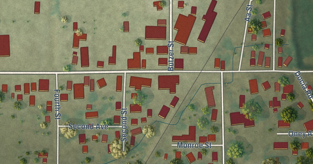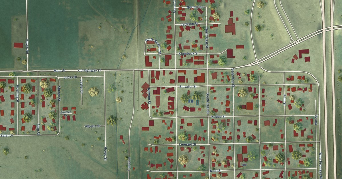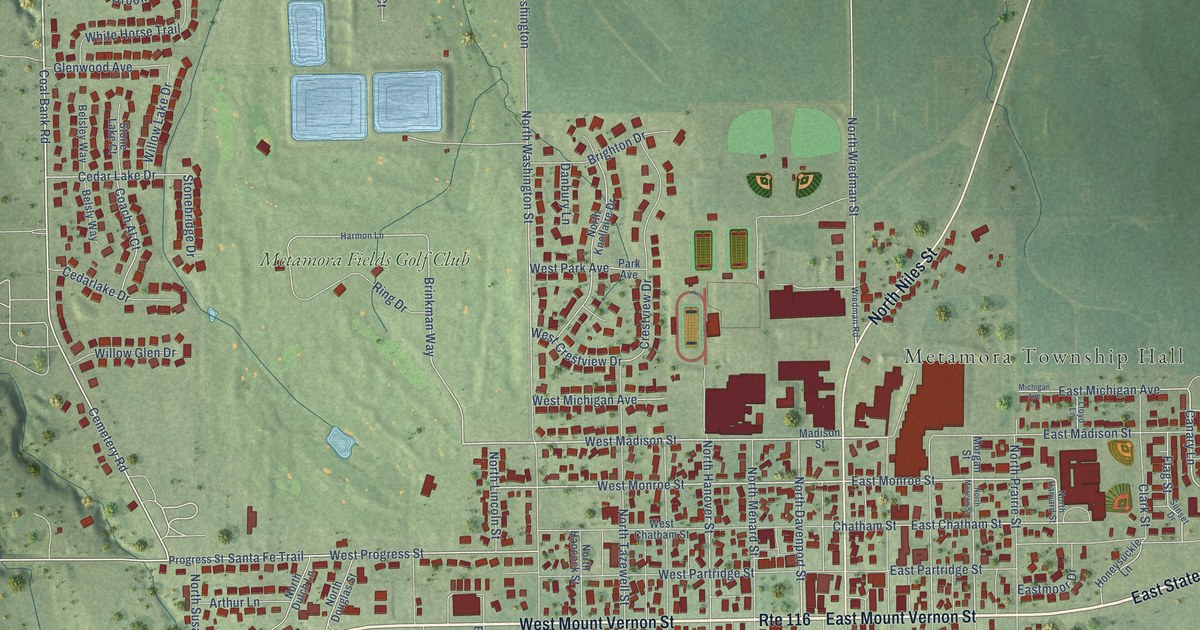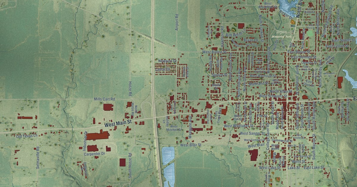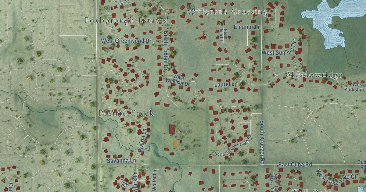
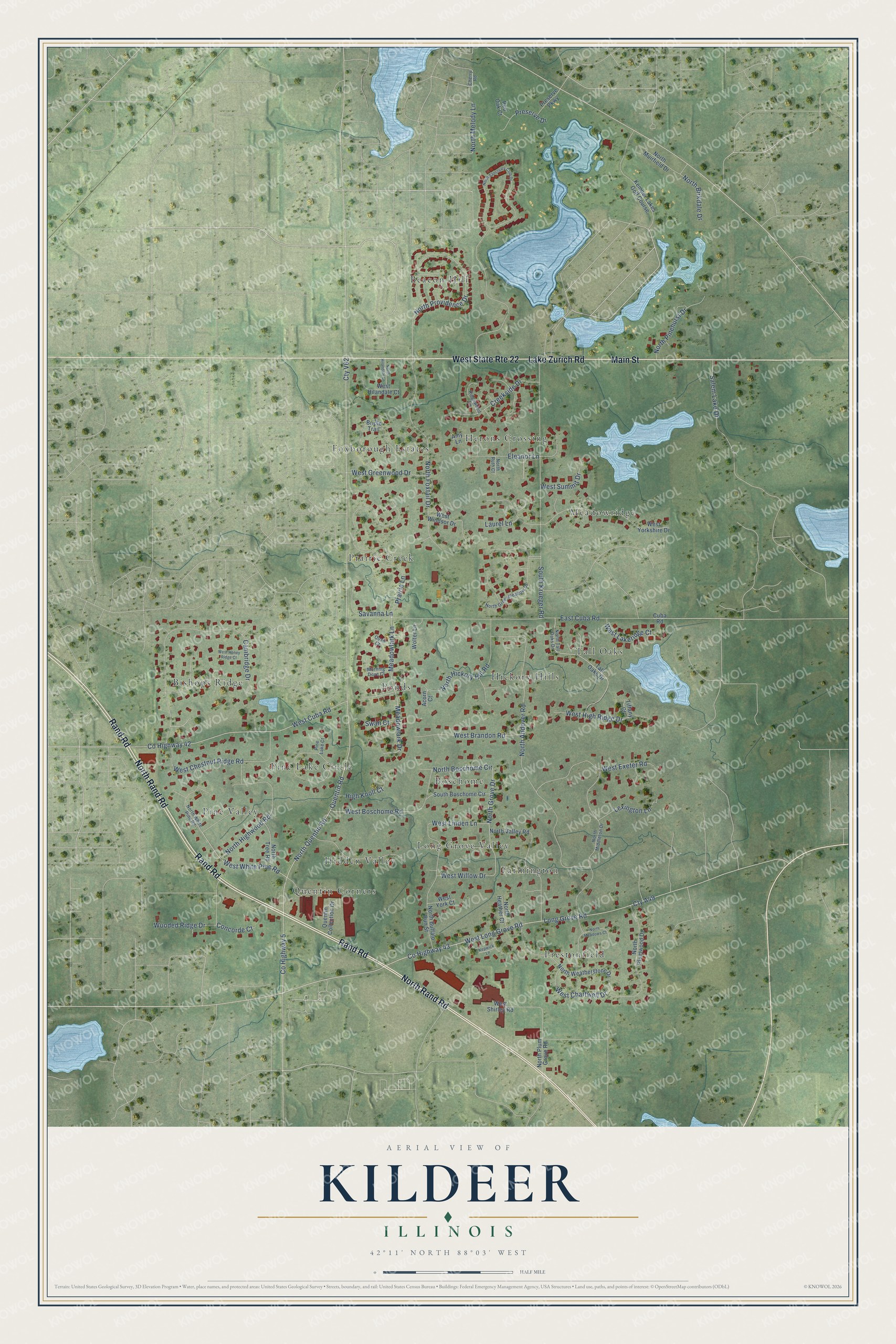
This beautifully detailed map of Kildeer, Illinois was created in 2026 using aerial imagery combined with modern topographical, census, street and landmark data. It’s a one-of-a-kind view of Kildeer that combines accurate data with a vintage aesthetic. The map shows every building in its true location, many of the roads carry their names, and the shaded topographic relief shows the shape of the land.
Explore an aerial view of Kildeer, Illinois
On the map you’ll find Beacon Hill, Bishops Ridge, Boschome, Farmington, Foxborough Estates, Herons Crossing, Hickory Hills, Hidden Valley, Long Grove Valley, Meadowridge, and Pine Valley, along with Pine Lake Circle, and more. If you look closely you can even find your house accurately drawn in its correct location. Zoom in on the preview to look for yours.
Did you know this piece of Kildeer, Illinois history?
From the Long Grove Historical Society: "The name Kildeer was being used in the area for various things well before the Village of Kildeer was formed in 1958."
Take a closer look at the Kildeer map
Street and place names on the Kildeer, Illinois map
These names are printed on the map of Kildeer, Illinois.
Places: Beacon Hill, Bishops Ridge, Boschome, Farmington, Foxborough Estates, Herons Crossing, Hickory Hills, Hidden Valley, Long Grove Valley, Meadowridge, Pine Lake Circle, Pine Valley, Ponds, Prairie Creek, Prestonfield, Quentin Corners, Tall Oaks and Kemper Lakes Golf Course.
Streets and roads: North Rand Road, Rand Road, Lake Zurich Road, West State Route 22, Main Street, West White Pine Road, North Boschome Circle, North Melody Lane, North Grove Drive, County Highway 5, Cty V62, North Quentin Road.
More street names, A to Z
Acorn Court, Amy Lane, Bridle Trail, Cambridge Drive, Cherry Road, Concorde Court, County Highway 42, County Highway 43, Creekside Drive, Cty A49, Cuba Road, East Cuba Road, Eleanor Lane, High Knoll Court, Kepwick Lane, Laurel Lane, Lexington Lane, Long Grove Road, Meadowlark Drive, Meadowlark Lane, Morning Dove Court, North Andover Road, North Birkdale Drive, North Buffalo Run Street, North Foxtail Drive, North Greenmeadow Drive, North Heather Court, North Hickory Hill Road, North Highwood Road, North Hilandale Lane, North Meadows Court, North Middleton Drive, North Muirfield Drive, North Pinehurst Drive, North Plum Grove Road, North Plumwood Drive, North Providence Drive, North Ruth Court, North Sanctuary Club Drive, North Tall Oaks Drive, North Tree Road, North Valley Road, North Weatherstone Drive, North White Pine Road, Pine Lake Court, Prairie Lane, Preserve Drive, Preserve Parkway, Quail Court, Quentin Collection Drive, Quentin Road, Red Oak Court, Ridgewood Lane, Salem Lake Drive, Savanna Lane, South Boschome Circle, South Krueger Road, Swan Court, Tall Oaks Drive, Tiffany Court, West Boschome Road, West Brandon Road, West Chartwell Drive, West Chestnut Ridge Road, West Cuba Road, West Exeter Road, West Greenwood Drive, West High Ridge Drive, West Hilandale Court, West Honey Ridge Court, West Lakeridge Court, West Linden Lane, West Long Grove Road, West Shirley Road, West Summit Drive, West Willow Drive, West Windsor Drive, West York Court, West Yorkshire Drive, Wolter Lane, Wooded Ridge Drive.
See the Kildeer, Illinois map on a wall
The Kildeer map as an 18 x 24 inch print in a black frame.

This beautifully detailed map of Kildeer makes an attractive addition to your office, library, or den, and it can even be used to teach children the geography and history of the area. It also makes a great gift for anyone with Kildeer roots. When you’re done exploring, click here to get your copy of the Kildeer map.