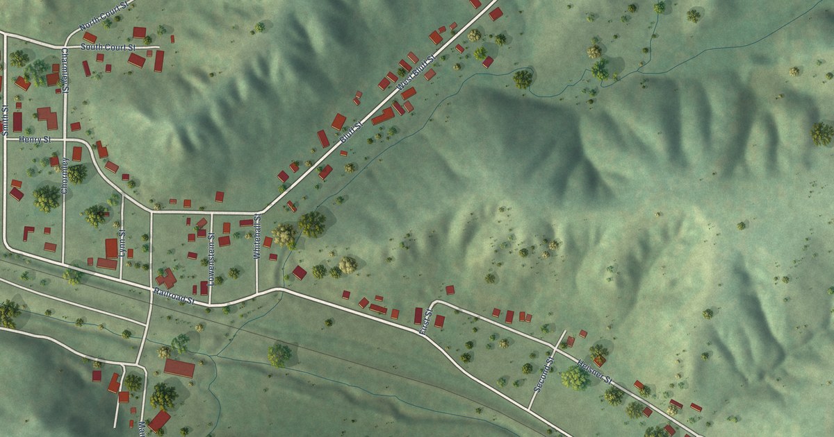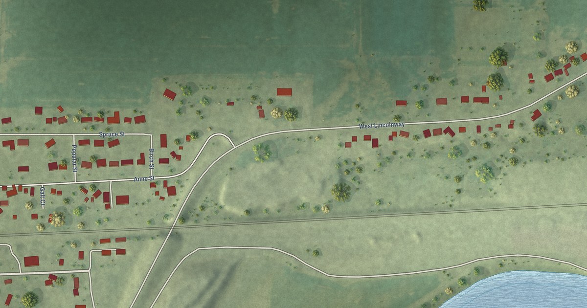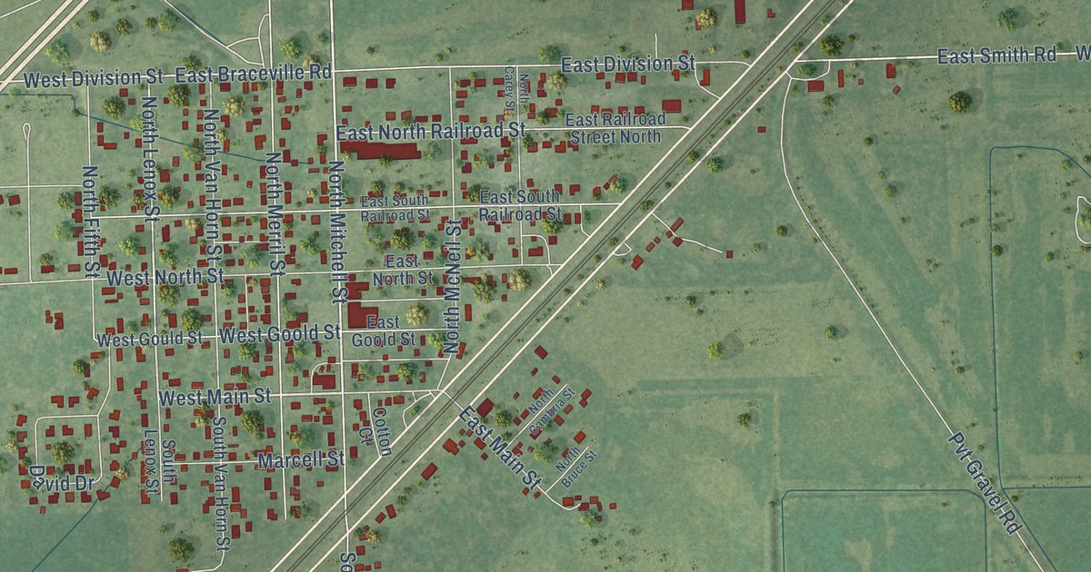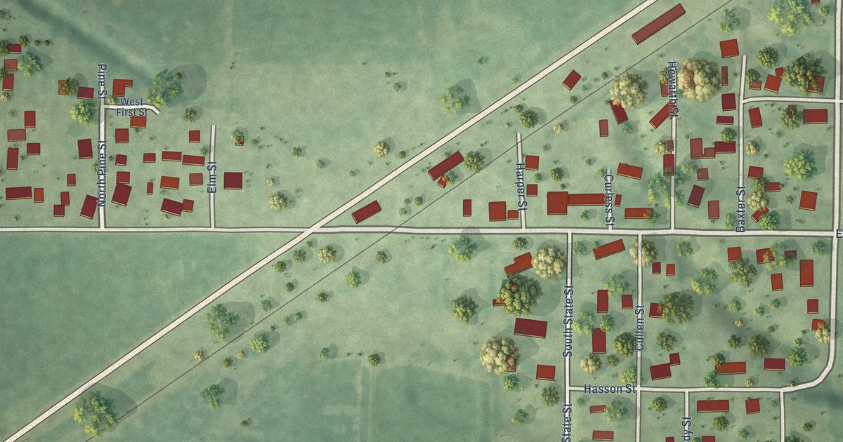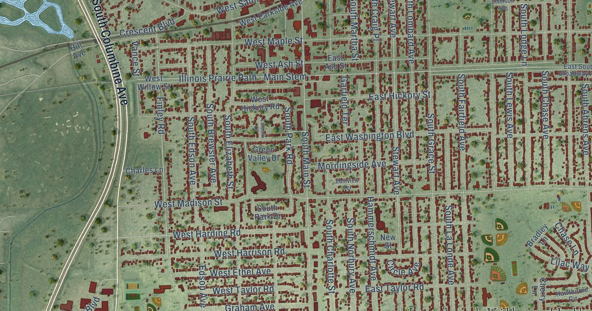
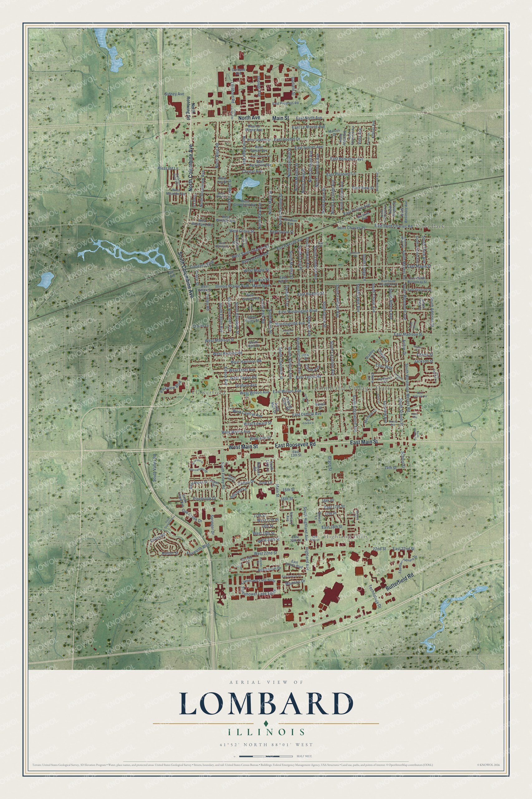
This beautifully detailed map of Lombard, Illinois was created in 2026 using aerial imagery combined with modern topographical, census, street and landmark data. It’s a one-of-a-kind view of Lombard that combines accurate data with a vintage aesthetic. The map shows every building in its true location, many of the roads carry their names, and the shaded topographic relief shows the shape of the land.
Explore an aerial view of Lombard, Illinois
On the map you’ll find Lombard Village Hall, Highland Hills, The Commons, Flowerfield, and Villa Park, along with East Main Street, West Main Street, East Roosevelt Road, South Columbine Avenue, North Columbine Avenue, North Avenue, Butterfield Road, and more. If you look closely you can even find your house accurately drawn in its correct location. Zoom in on the preview to look for yours.
Did you know this piece of Lombard, Illinois history?
From York Township: "In 1873, a new organization formed and embraced the two churches under the name of the First Church of Lombard."
Take a closer look at the Lombard map
Street and place names on the Lombard, Illinois map
These names are printed on the map of Lombard, Illinois.
Places: Lombard Village Hall, Highland Hills, The Commons, Flowerfield and Villa Park.
Streets and roads: East Main Street, West Main Street, East Roosevelt Road, South Columbine Avenue, North Columbine Avenue, North Avenue, Butterfield Road, Main Street, South Main Street, South Meyers Road, South Westmore Avenue, North Main Street.
More street names, A to Z
14th Street, 15th Street, 16th Place, 16th Street, 17th Place, 17th Street, 18th Street, 22nd Street, Adams Street, Ainsley Lane, Apple Lane, Arboretum Drive, Arthur Drive, Aspen Drive, Bradley Lane, Charing Cross Road, Charles Lane, Chase Lane, Cherry Lane, Cimarron Road East, Circle Avenue, Collen Drive, Cortland Avenue, Crescent Boulevard, Crystal Avenue, Dupage Avenue, East 13th Street, East 17th Street, East 18th Street, East 20th Street, East 22nd Street, East Ash Street, East Berkshire Avenue, East Central Avenue, East Division Street, East Edward Street, East Goebel Drive, East Grove Street, East Hickory Street, East Janata Boulevard, East Le Moyne Avenue, East Madison Street, East Maple Street, East North Avenue, East North Broadway Street, East Oakton Drive, East Parkside Avenue, East Pleasant Lane, East Prairie Avenue, East Progress Road, East Saint Charles Road, East South Broadway Avenue, East Sunset Avenue, East Taylor Road, East View Street, Eastview Terrace, East Washington Boulevard, East Wilson Avenue, Edson Avenue, Edson Street, Eisenhower Lane North, Eisenhower Lane South, Elizabeth Street, Elm Street, Emerson Avenue, Fairview Avenue, Finley Road, Fountain Square Drive, Foxworth Boulevard, Garfield Street, Garfield Terrace, Gazebo Lane, Grace Street, Graham Avenue, Green Valley Drive, Hammerschmidt Avenue, Hawthorne Circle, Highland Avenue, Hill Avenue, Hillcrest Lane, Holloman Drive, Hunter Street, Illinois Prairie Path - Main Stem, International Drive, Jackson Street, June Lane, Kramer Avenue, Kufrin Way, Lilac Way, Lincoln Court, Lincoln Street, Lombard Circle, Lombard Road, Majestic Drive, Manor Hill Lane, Marcus Drive, Michelle Lane, Morningside Avenue, Morris Avenue, New Street, Norbury Avenue, North Ahrens Street, North Broadview Avenue, North Charlotte Street, North Craig Place, North Edgewood Avenue, North Elizabeth Street, North Fairfield Avenue, North Garfield Street, North Grace Street, North Highland Avenue, North Joyce Avenue, North La Londe Avenue, North Lincoln Avenue, North Lombard Avenue, North Martha Street, North Park Avenue, North Ridge Avenue, North Rohlwing Road, North Stewart Avenue, North Westmore Avenue, North West Road, Norton Street, Oak Creek Drive, Parker Drive, Parkview Boulevard, Pinebrook Drive, Pleasant Lane, Rebecca Road, Revere Court, Saint Charles Place, Saint Regis Drive, School Street, Sidney Avenue, South Addison Avenue, South Addison Street, South Ahrens Avenue, South Brewster Avenue, South Cedar Lane, South Charlotte Street, South Chase Avenue, South Church Avenue, South Craig Place, South Edgewood Avenue, South Edson Avenue, South Elizabeth Street, South Fairfield Avenue, South Finley Road, South Foxworth Boulevard, South Grace Street, South Highland Avenue, South La Londe Avenue, South Lewis Avenue, South Lloyd Avenue, South Lodge Lane, South Lombard Avenue, South Lombard Road, South Lore Lane, South Main Drive, South Martha Street, South Norbury Avenue, South Park Drive, South Park Road, South School Street, South Second Avenue, South Stewart Avenue, South Third Avenue, South Third Street, South Valley Road, South Westmore Meyers Road, Springer Drive, Stewart Avenue, Stewart Lane, Sycamore Drive, Technology Drive, Troy Lane, Valley Road, Vance Street, Vista Avenue, West 17th Place, West 19th Street, West 20th Street, West 22nd Street, West Ann Street, West Ash Street, West Aspen Drive, West Berkshire Avenue, West Central Avenue, West Edward Street, Western Avenue, West Ethel Avenue, West Eugenia Street, West Goebel Drive, West Greenfield Avenue, West Grove Street, West Harding Road, West Harrison Road, West Hickory Road, West Highridge Road, West Le Moyne Avenue, West Loy Street, West Madison Street, West Maple Street, West Meadow Avenue, Westmore Meyers Road, West Morris Avenue, West Parkside Avenue, West Potomac Avenue, West Saint Charles Road, West Sunset Avenue, West Taylor Road, West View Street, West Willow Street, West Wilson Avenue, West Windsor Avenue, Westwood Avenue, West Woodland Avenue, Windsor Avenue.
See the Lombard, Illinois map on a wall
The Lombard map as an 18 x 24 inch print in a black frame.

This beautifully detailed map of Lombard makes an attractive addition to your office, library, or den, and it can even be used to teach children the geography and history of the area. It also makes a great gift for someone who left Lombard and still calls it home. When you’re done exploring, click here to get your copy of the Lombard map.