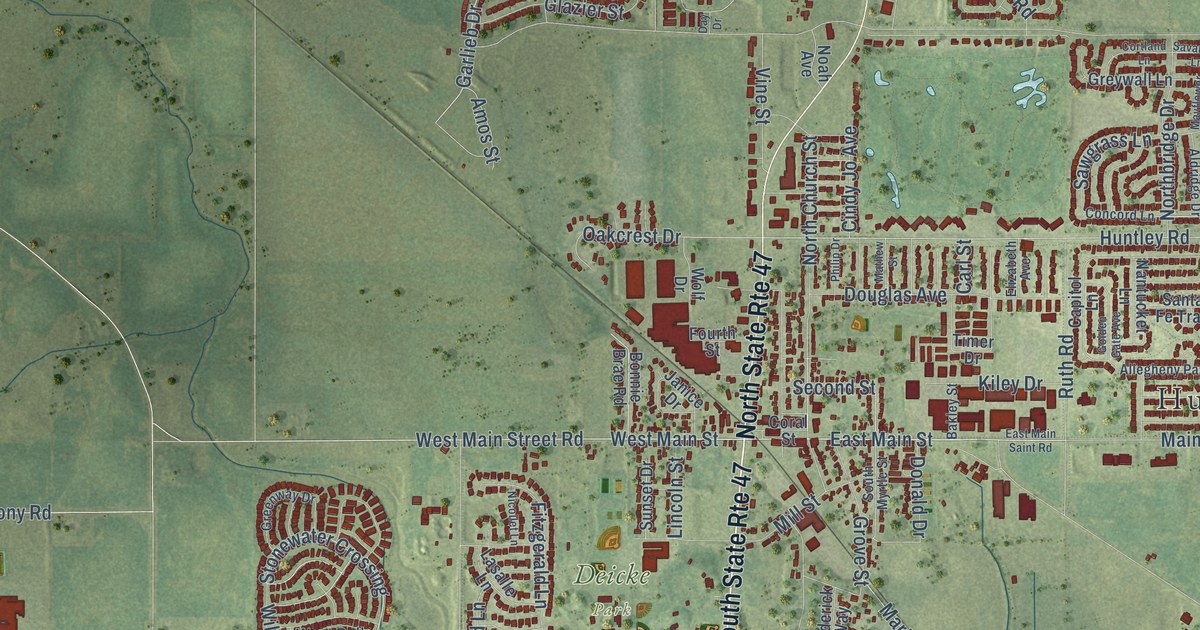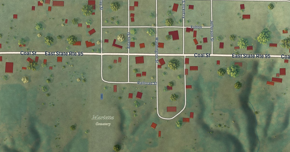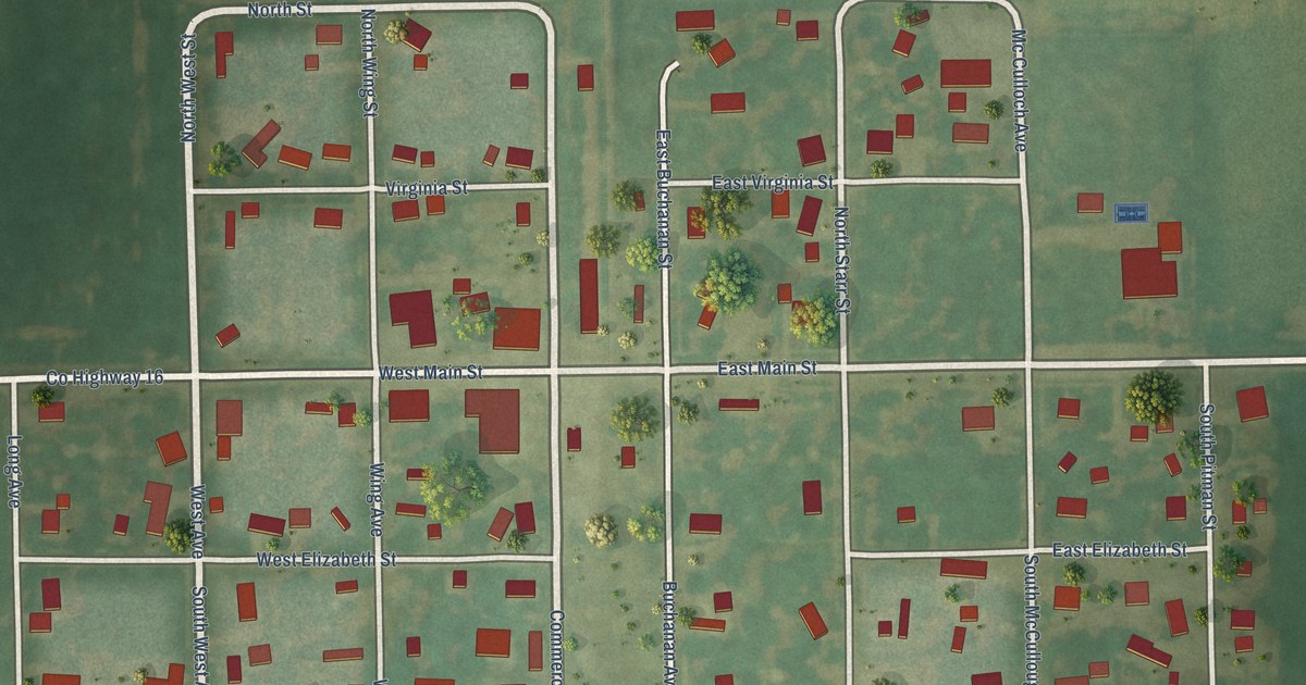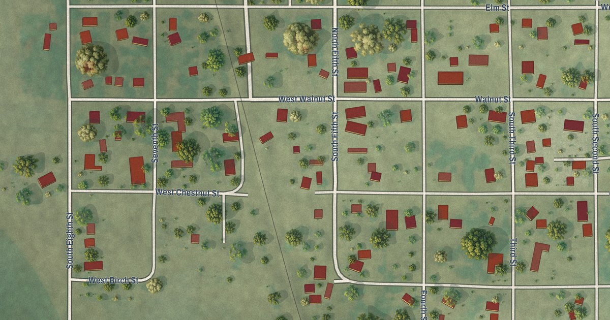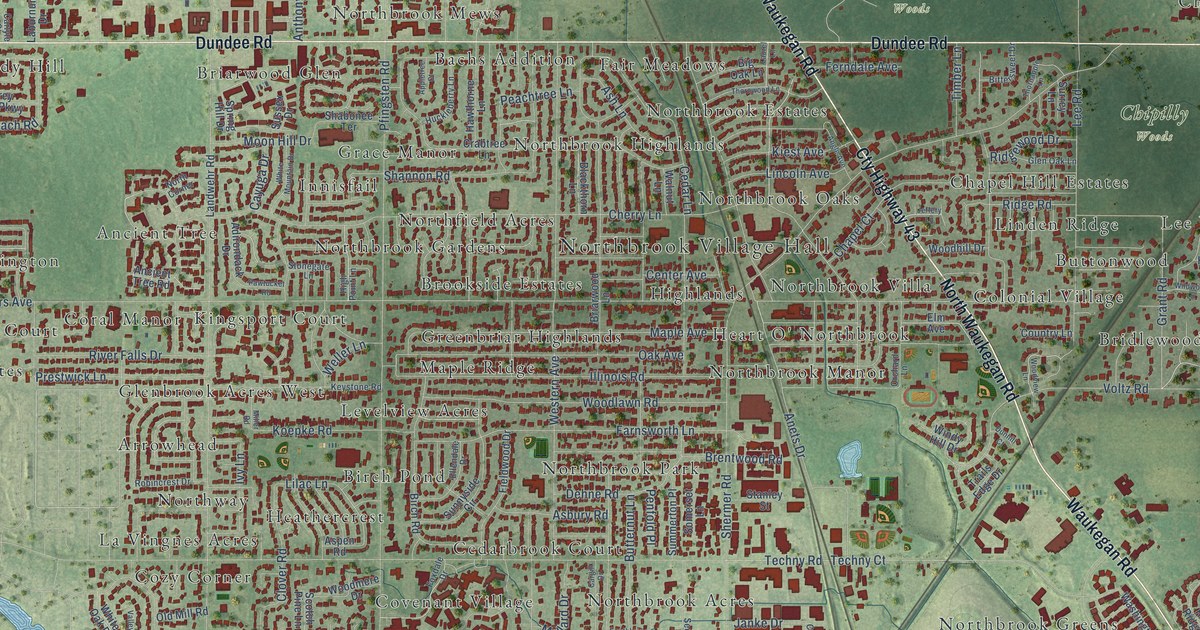
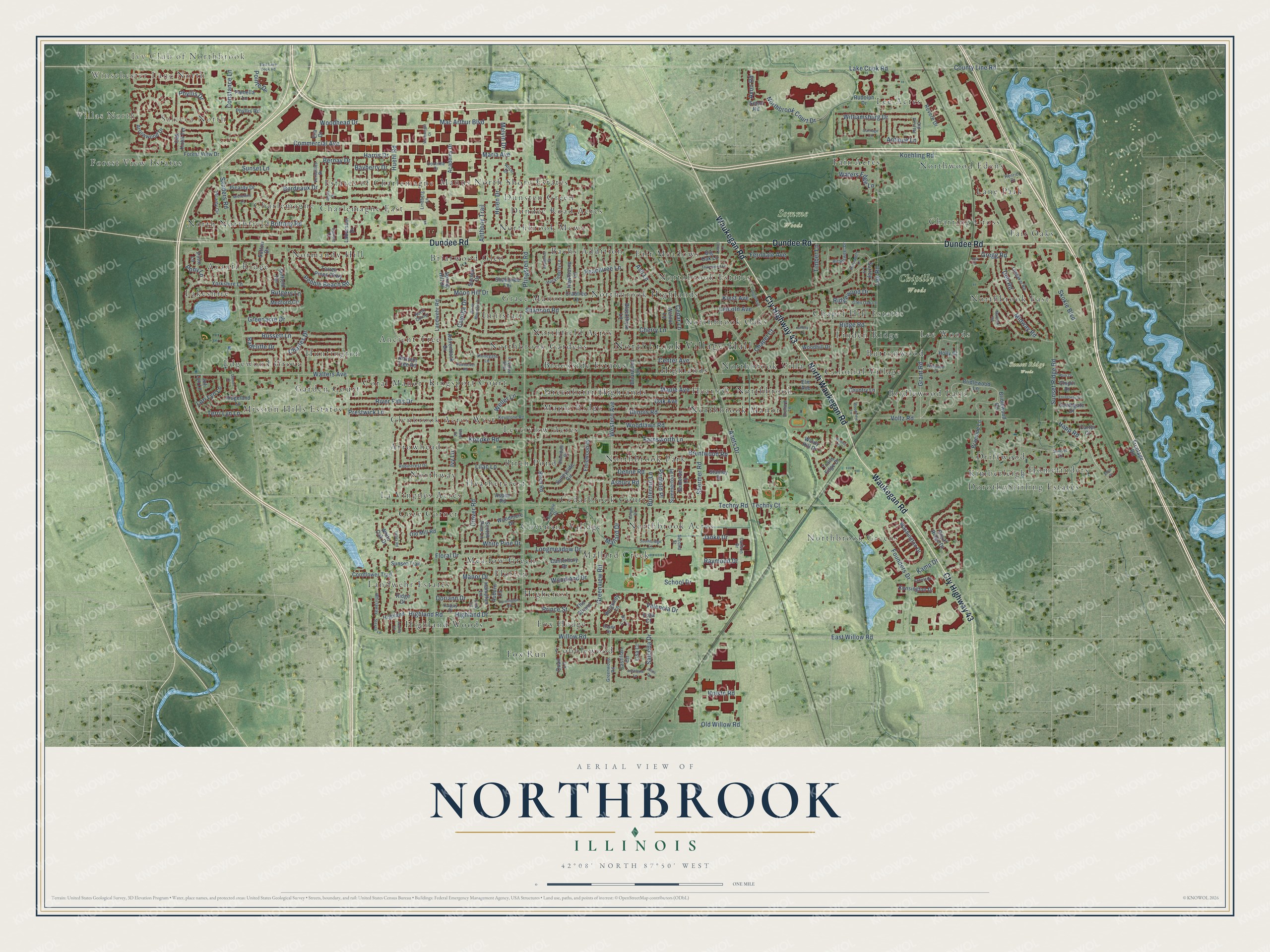
This beautifully detailed map of Northbrook, Illinois was created in 2026 using aerial imagery combined with modern topographical, census, street and landmark data. It’s a one-of-a-kind view of Northbrook that combines accurate data with a vintage aesthetic. The map shows every building in its true location, many of the roads carry their names, and the shaded topographic relief shows the shape of the land.
Explore an aerial view of Northbrook, Illinois
On the map you’ll find Northbrook Village Hall, Villas North, Ivy Club of Northbrook, Salceca North, Chipilly Woods, Somme Woods, Sunset Ridge Woods, Ancient Tree, Arrowhead, Avanti Ridge, and Bachs Addition, along with Winschester Lane North, and more. If you look closely you can even find your house accurately drawn in its correct location. Zoom in on the preview to look for yours.
Did you know this piece of Northbrook, Illinois history?
From the Cook County Hazard Mitigation Plan: "In 1901 following a close referendum, the town was incorporated as Shermerville with about 60 homes and 311 residents. By 1921, residents felt that the Shermerville name had a bad reputation, and the official name of Northbrook was adopted in 1923."
Take a closer look at the Northbrook map
Street and place names on the Northbrook, Illinois map
These names are printed on the map of Northbrook, Illinois.
Places: Northbrook Village Hall, Winschester Lane North, Villas North, Ivy Club of Northbrook, Salceca North, Chipilly Woods, Somme Woods, Sunset Ridge Woods, Ancient Tree, Arrowhead, Avanti Ridge, Bachs Addition, Birch Pond, Briarwood Glen, Bridlewood Lane, Brookside Estates, Buttonwood, Cedarbrook Court, Chapel Hill Estates, Charlemagne, Charlemagne East, Charring Cross, Cobblewood, Colonial Village, Coral Manor, Covenant Village, Cozy Corner, DorothyStirling Estates, Driftwood, Dundee Road Acres, Dunsten Green, Edgewood Grove, Estates of Charlemagne, Fair Acres, Fair Meadows, Fair Oaks, Florian, Forest View Estates, Fox Hedge, Fox Run, Garden Court, Glenbrook Acres West, Grace Manor, Greenbriar Highlands, Heart O' Northbrook, Heathercrest, Highcrest, Highland Woods, Highlands, Homefinders, Huntington, Innisfail, Kimberleigh, Kingsport Court, La Vingnes Acres, Lakeshire, Landwehr Estates, Lane Park, Lee Acres, Lee Woods, Levelview Acres, Linden Ridge, Mallard Creek, Manus North Shore Estates, Maple Ridge, Meadow Green, Mission Hills Estates, Normandy Hill, North Northfield, Northbrook Acres, Northbrook East, Northbrook Estates, Northbrook Gardens, Northbrook Greens, Northbrook Highlands, Northbrook Manor, Northbrook Mews, Northbrook Oaks, Northbrook Park, Northbrook Villa, Northfield Acres, Northway and Northwood Edens.
Streets and roads: Waukegan Road, Cty Highway 43, Dundee Road, North Waukegan Road, Willow Road, East Willow Road, Bordeaux Drive, Happ Road, Voltz Road, Walters Avenue, Shermer Road, Pfingsten Road.
More street names, A to Z
Academy Drive, Adirondack Drive, Alice Drive, Allen Drive, Ancient Tree Road, Anets Drive, Angle Avenue, Anjou Drive, Anthony Trail, Antique Lane, Appletree Court, Arbeleda Lane, Arrowwood Drive, Asbury Road, Ash Lane, Aspen Road, Astor Place, Auburn Lane, Audrey Lane, Avon Road, Bayberry Drive, Bernay Drive, Big Oak Lane, Birch Road, Bittersweet Drive, Blackthorn Lane, Braeside Lane, Brentwood Road, Briarwood Lane, Bridlewood Road, Brittany Road, Burgundy Lane, Butternut Lane, Canterbury Drive, Cargill Drive, Carlson Drive, Carlyle Court, Carriage Lane, Carter Court, Castilian Circle, Cayuga Drive, Cedar Lane, Center Avenue, Chapel Court, Charles Drive, Cherry Lane, Chipili Drive, Clover Road, Commercial Avenue, Constance Lane, Cornflower Trail, Country Lane, County Line Road, Crabtree Lane, Daniel Court, Dehne Road, Dell Road, Doolittle Drive, Doriann Drive, Dunhill Court, East Lake Cook Road, Ellendale Drive, Elm Avenue, Enfield Drive, Era Drive, Essex Drive, Farmington Road, Farnsworth Lane, Ferndale Avenue, Fieldwood Drive, Floral Drive, Forest View Drive, Forestway Drive, Founders Drive, Foxdale Drive, Frontage Road, Glen Oak Lane, Grant Road, Greenacre Drive, Greenview Road, Greenwood Road, Gregg Road, Hampton Lane, Harris Drive, Hawthorne Lane, Helen Drive, Henrici Drive, Highland, Highland Drive, Highland Road, High Point Lane, Holly Court, Holste Road, Huckleberry Lane, Huehl Road, Illinois Road, Ivy Lane, Janke Drive, Jeffery Lane, Juli Lyn Lane, Kamp Drive, Kayjay Drive, Kensington Drive, Keystone Road, Kiest Avenue, Koehling Road, Koepke Road, Laburnum Drive, Lake Cook Road, Landwehr Road, Laurel Lane, Lee Road, Lilac Lane, Lincoln Avenue, Lindberg Lane, Lisa Court, Longaker Road, Longmeadow Drive, Lori Lyn Lane, Mac Arthur Boulevard, Mallard Drive, Manor Drive, Maple Avenue, Maria Avenue, Marshall Road, Medford Circle, Melvin Drive, Michelline Lane, Midway Road, Miller Road, Moon Hill Drive, Northbrook Court Drive, North Corner, Oak Avenue, Oak Knoll Terrace, Old Mill Road, Old Post Road, Old Willow Road, Orchard Lane, Pamella Lane, Park Drive, Pawtucket Road, Peachtree Lane, Pebble Beach Road, Penfold Place, Phyllis Drive, Phyllis Road, Picardy Circle, Picardy Drive, Pinto Lane, Pointe Drive, Pony Lane, Prestwick Lane, Prince Street, Quail Lane, Radcliffe Drive, Raymond Drive, Revere Drive, Ridge Drive, Ridgeland Lane, Ridge Road, Ridgewood Drive, River Falls Drive, Robincrest Drive, Royal Ridge Drive, Rudolph Drive, Russett Lane, Rutgers Lane, Salceda Drive, Sanders Road, School Drive, Scotch Pine Lane, Second Street, Seton Road, Shabonee Terrace, Shannon Road, Skokie Boulevard, Somerset Lane, Southbridge Lane, Southgate Drive, Spring Hill Drive, Stanley Street, Steven Lane, Stonegate Lane, Suffield Terrace, Summerton Place, Sunnyside Circle, Sunset Court, Sunset Lane, Sunset Ridge Road, Sunset Trail, Surrey Lane, Sussex Drive, Sutton Drive, Techny Court, Techny Road, Terri Lyn Lane, The Strand, Thornapple Lane, Thornwood Lane, Timber Lane, Torrey Pines Parkway, Trails Edge Drive, Valencia Drive, Valley Road, Versailles Drive, Vicki Lane, Vista Court, Wainwright Drive, Walnut Lane, Washington Drive, Waters Edge Lane, Weller Lane, Western Avenue, Whirlaway, White Mountain Drive, White Oak Drive, White Pine Drive, Wildwood Lane, Williamsburg Drive, Windy Hill Drive, Winsor Lane, Woodhead Drive, Woodhill Drive, Woodland Drive, Woodlawn Road, Woodmere Drive, Woodview Lane, York Court, Yorkshire Lane.
See the Northbrook, Illinois map on a wall
The Northbrook map as an 18 x 24 inch print in a black frame.

This beautifully detailed map of Northbrook makes an attractive addition to your office, library, or den, and it can even be used to teach children the geography and history of the area. It also makes a great gift for anyone with Northbrook roots. When you’re done exploring, click here to get your copy of the Northbrook map.