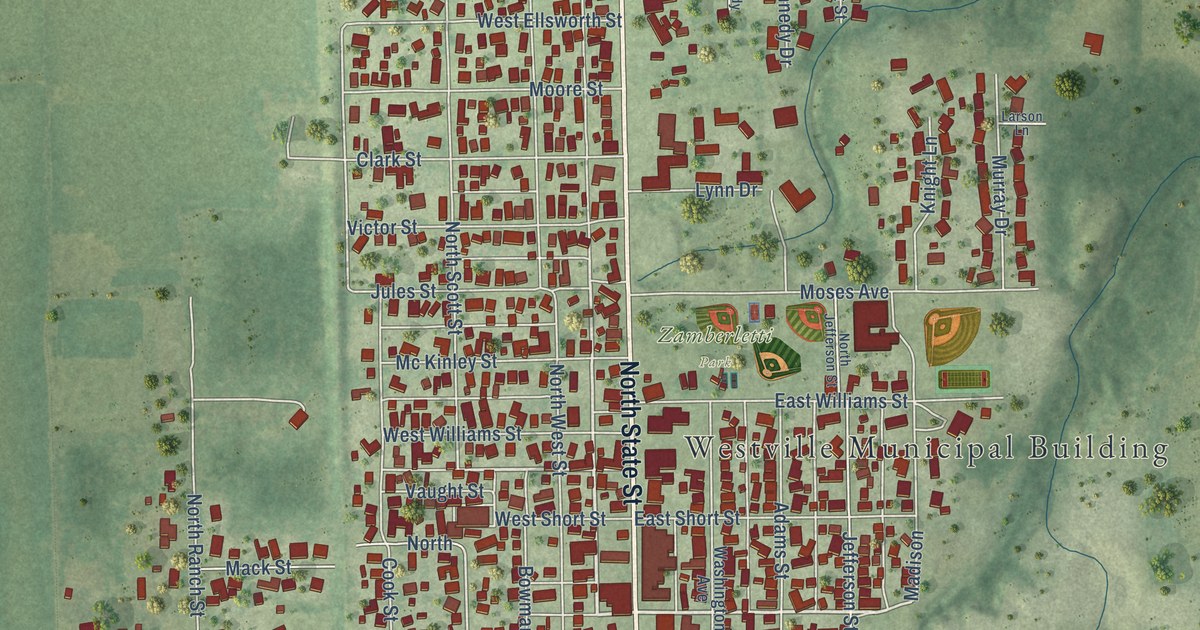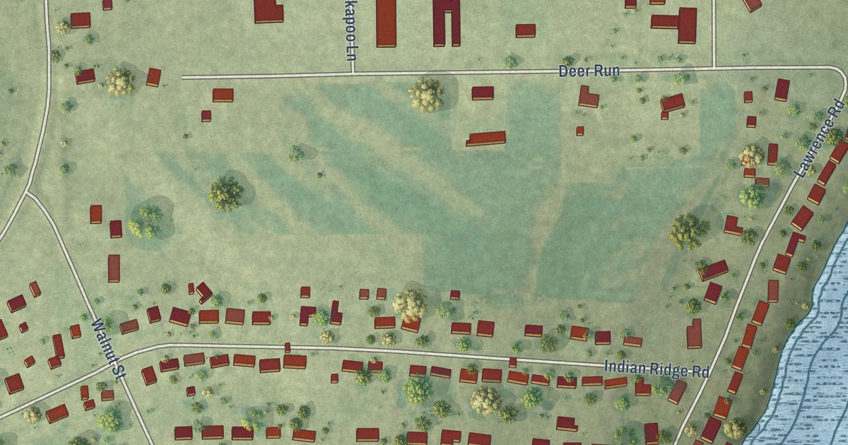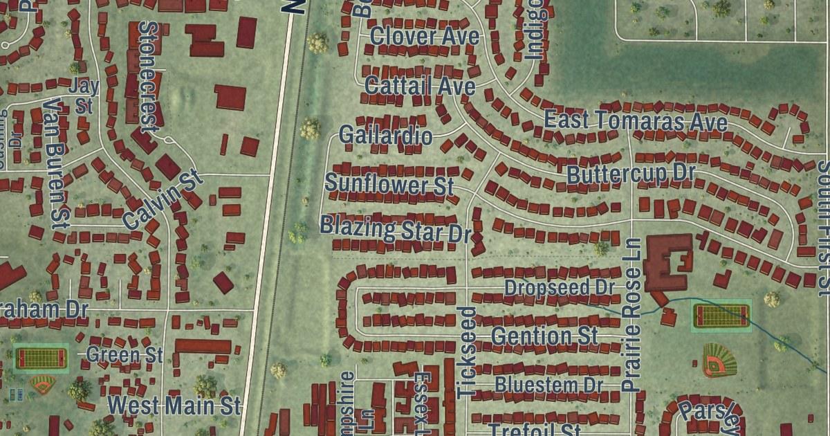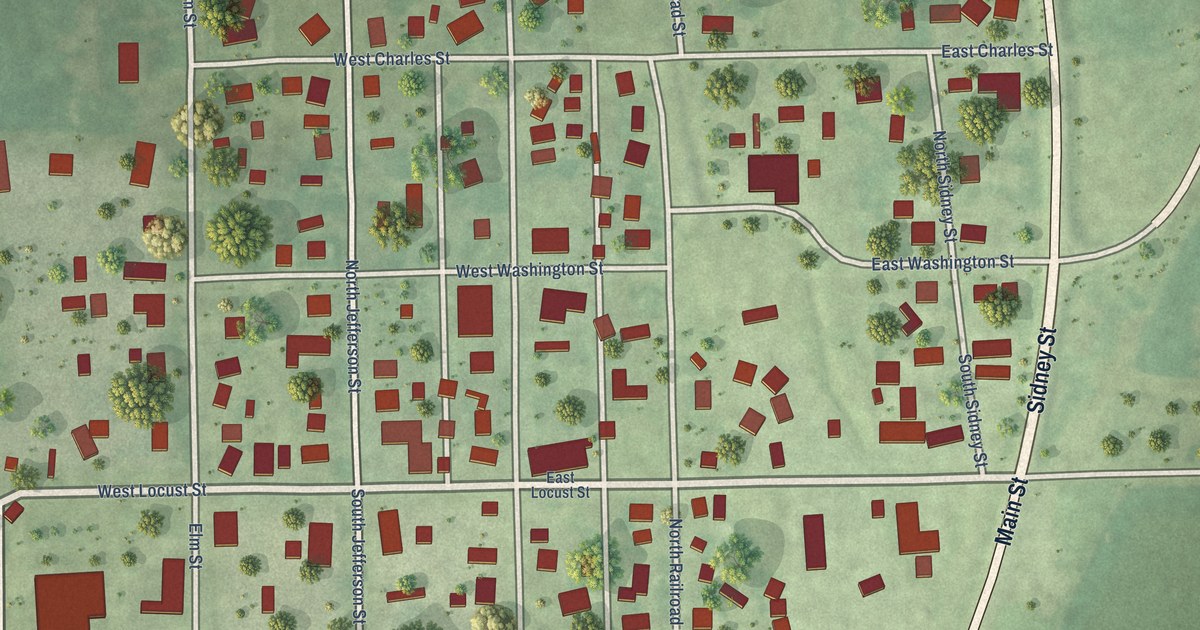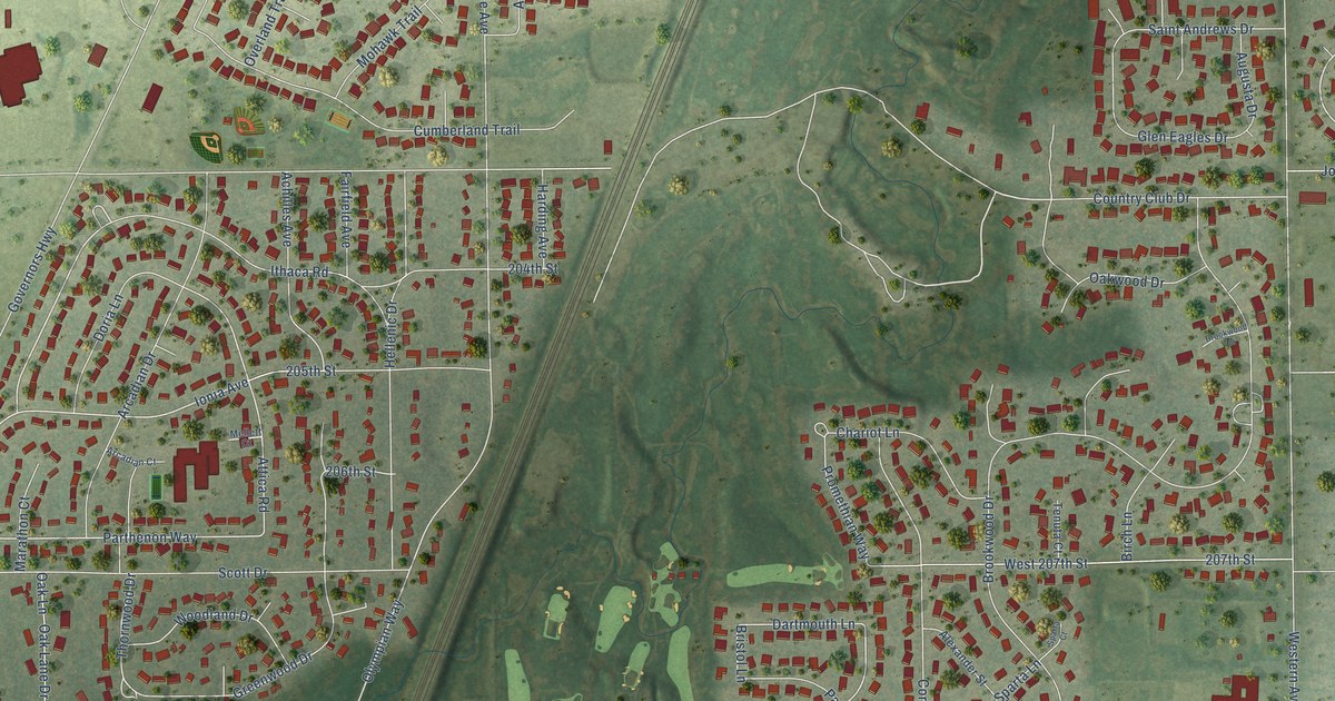
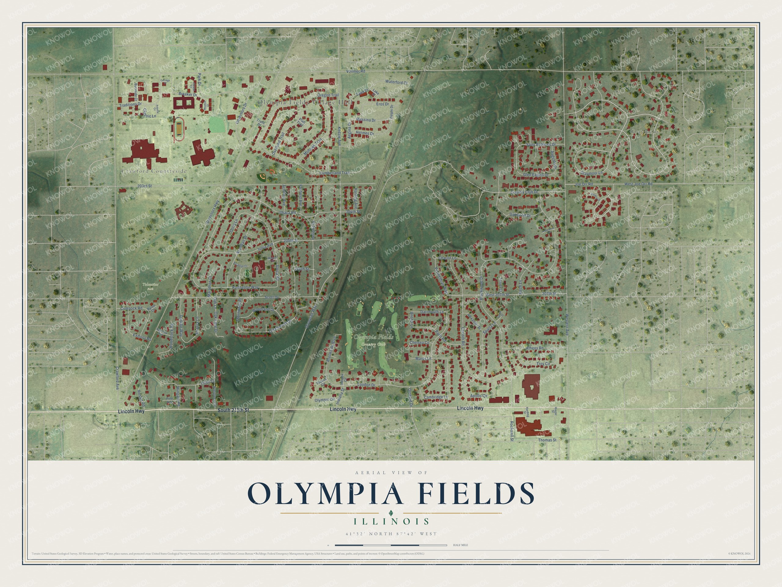
This beautifully detailed map of Olympia Fields, Illinois was created in 2026 using aerial imagery combined with modern topographical, census, street and landmark data. It’s a one-of-a-kind view of Olympia Fields that combines accurate data with a vintage aesthetic. The map shows every building in its true location, many of the roads carry their names, and the shaded topographic relief shows the shape of the land.
Explore an aerial view of Olympia Fields, Illinois
On the map you’ll find Olympia Fields Village Hall, Graymoor, Crawford Countryside, Olympia Fields Country Club, and Tolentine Park, along with Lincoln Highway, South 211th Street, Graymoor Lane, Ithaca Road, Country Club Drive, Thornwood Drive, Parthenon Way, and more. If you look closely you can even find your house accurately drawn in its correct location. Zoom in on the preview to look for yours.
Did you know this piece of Olympia Fields, Illinois history?
From the Cook County Hazard Mitigation Plan: "The summer retreat area was eventually transformed into what is now the Olympia Fields Country Club."
Take a closer look at the Olympia Fields map
Street and place names on the Olympia Fields, Illinois map
These names are printed on the map of Olympia Fields, Illinois.
Places: Olympia Fields Village Hall, Graymoor, Crawford Countryside, Olympia Fields Country Club and Tolentine Park.
Streets and roads: Lincoln Highway, South 211th Street, Graymoor Lane, Ithaca Road, Country Club Drive, Thornwood Drive, Parthenon Way, Ionia Avenue, London Drive, Olympian Way, Greenwood Drive, Attica Road.
More street names, A to Z
203rd Street, 204th Street, 205th Street, 206th Street, 207th Street, Achilles Avenue, Aegina Drive, Alexander Street, Apollo Circle, Arcadian Court, Arcadian Drive, Arquilla Circle, Athens Road, Augusta Drive, Birch Lane, Breaker Drive, Bristol Lane, Brookside Boulevard, Brookwood Drive, Brookwood Terrace, Burnside Court, Byron Court, Cambridge Lane, Carriage Place, Chariot Lane, Chelsea Circle, Classic Lane, Corinth Road, Crawford Avenue, Cumberland Trail, Cumnock Road, Danube Way, Dartmouth Lane, Delphi Drive, Doria Lane, Elliot Court, Eros Drive, Evergreen Circle, Exmoor Road, Fairfield Avenue, Forest Court, Glen Eagles Drive, Governors Drive, Governors Highway, Harding Avenue, Harding Street, Hellenic Drive, Hermes Drive, Highview Avenue, Indiana Circle, Indiana Street, Joe Orr Road, Kedzie Avenue, Lake Drive, Lake Street, Marathon Court, Maros Lane, Meadow Court, Mellett Court, Messina Drive, Mohawk Trail, Oak Lane, Oak Lane Drive, Oakwood Drive, Olympic Circle, Orchard Drive, Oregon Trail, Overland Trail, Paris Road, Park Drive, Pine Avenue, Platt Trail, Promethian Way, Rieger Street, Rockwell Street, Roslyn Road, Saint Andrews Drive, Scott Drive, Sparta Court, Sparta Lane, Strauss Lane, Tenuta Court, Thaxed Circle, Thomas Street, Traditions Drive, Trails Drive, Troy Circle, Vollmer Road, Waterford Court, West 207th Street, Western Avenue, West Joe Orr Road, Wingate Road, Woodland Drive, Woodstock Road, Wysteria Drive.
See the Olympia Fields, Illinois map on a wall
The Olympia Fields map as an 18 x 24 inch print in a black frame.

This beautifully detailed map of Olympia Fields makes an attractive addition to your office, library, or den, and it can even be used to teach children the geography and history of the area. It also makes a great gift for someone who left Olympia Fields and still calls it home. When you’re done exploring, click here to get your copy of the Olympia Fields map.